|
St Vincent Whitshed Erskine
St Vincent Whitshed Erskine (1846 - 1918), Surveyor General of South Africa, was an early explorer in Gazaland and was the first European to travel down the length of the Limpopo river to its mouth. Family Erskine was born on 7 February 1846 in Tasmania, the second son of Lieutenant Colonel The Honourable David Erskine (son of David Erskine, 2nd Baron Erskine of Restmorel) and his first wife (m. 12 November 1839) Anne Maria Spode, daughter of Josiah Spode and great-granddaughter of Josiah Spode. David Erskine married secondly Emma Florence Mary Harford the daughter of Captain Charles Joseph Harford, 12th Lancers. St Vincent Erskine married in 1870 to Alice Lindley Buchanan 5th daughter of David Dale Buchanan (born 1819, died 4 Sep 1874 in Cape Town), the founder of the "Natal Witness" ( The Witness (South African newspaper)) and his wife Mary Ann. St Vincent Erskine and Alice Buchanan had six children: * Charles Howard Erskine (b. 1871; d. 1918) m. Mildred Charlotte Greathead * ... [...More Info...] [...Related Items...] OR: [Wikipedia] [Google] [Baidu] |
Gazaland
Gazaland is the historical name for the region in southeast Africa, in modern-day Mozambique and Zimbabwe, which extends northward from the Komati River at Delagoa Bay in Mozambique's Maputo Province to the Pungwe River in central Mozambique. History It was a district of the former Portuguese East Africa. Its name was derived from a Swazi chief named Gaza, a contemporary of Shaka Zulu. It covered most of present-day Gaza and Inhambane provinces, and the southern portions of Manica and Sofala provinces. Refugees from various clans oppressed by Dingane (Shaka's successor) were welded into one tribe by Gaza's son Soshangane, his followers becoming known as Shangaan or Mashangane. A section of them was called Maviti or Landeens (i.e. couriers), a designation which persisted as a tribal name. Between 1833 and 1836 Soshangane made himself master of the country as far north as the Zambezi and captured the Portuguese posts at Delagoa Bay, Inhambane, Sofala and Sena, killing nearly ... [...More Info...] [...Related Items...] OR: [Wikipedia] [Google] [Baidu] |
Royal Geographical Society
The Royal Geographical Society (with the Institute of British Geographers), often shortened to RGS, is a learned society and professional body for geography based in the United Kingdom. Founded in 1830 for the advancement of geographical sciences, the Society has 16,000 members, with its work reaching the public through publications, research groups and lectures. The Society was founded in 1830 under the name ''Geographical Society of London'' as an institution to promote the 'advancement of geographical science'. It later absorbed the older African Association, which had been founded by Sir Joseph Banks in 1788, as well as the Raleigh Club and the Palestine Association. In 1995 it merged with the Institute of British Geographers, a body for academic geographers, to officially become the Royal Geographical Society ''with IBG''. The society is governed by its Council, which is chaired by the Society's President, according to a set of statutes and standing orders. The member ... [...More Info...] [...Related Items...] OR: [Wikipedia] [Google] [Baidu] |
1918 Deaths
This year is noted for the end of the First World War, on the eleventh hour of the eleventh day of the eleventh month, as well as for the Spanish flu pandemic that killed 50–100 million people worldwide. Events Below, the events of World War I have the "WWI" prefix. January * January – 1918 flu pandemic: The "Spanish flu" (influenza) is first observed in Haskell County, Kansas. * January 4 – The Finnish Declaration of Independence is recognized by Soviet Russia, Sweden, Germany and France. * January 9 – Battle of Bear Valley: U.S. troops engage Yaqui Native American warriors in a minor skirmish in Arizona, and one of the last battles of the American Indian Wars between the United States and Native Americans. * January 15 ** The keel of is laid in Britain, the first purpose-designed aircraft carrier to be laid down. ** The Red Army (The Workers and Peasants Red Army) is formed in the Russian SFSR and Soviet Union. * January 18 - The Historic Concert ... [...More Info...] [...Related Items...] OR: [Wikipedia] [Google] [Baidu] |
1846 Births
Events January–March * January 5 – The United States House of Representatives votes to stop sharing the Oregon Country with the United Kingdom. * January 13 – The Milan–Venice railway's bridge, over the Venetian Lagoon between Mestre and Venice in Italy, opens, the world's longest since 1151. * February 4 – Many Mormons begin their migration west from Nauvoo, Illinois, to the Great Salt Lake, led by Brigham Young. * February 10 – First Anglo-Sikh War: Battle of Sobraon – British forces defeat the Sikhs. * February 18 – The Galician slaughter, a peasant revolt, begins. * February 19 – United States president James K. Polk's annexation of the Republic of Texas is finalized by Texas president Anson Jones in a formal ceremony of transfer of sovereignty. The newly formed Texas state government is officially installed in Austin. * February 20– 29 – Kraków uprising: Galician slaughter – Polish nationalists stage an uprising in the F ... [...More Info...] [...Related Items...] OR: [Wikipedia] [Google] [Baidu] |
Inanda Division
Inanda may refer to: * Inanda, Gauteng, a suburb of Johannesburg, South Africa * Inanda, KwaZulu-Natal Inanda or eNanda ( isiZulu: ''pleasant place'', also possibly, ''level-topped hill'') is a township in KwaZulu-Natal, South Africa that is situated 30 km north-west of the Durban CBD; it forms part of eThekwini, the Greater Durban Metropolita ..., a town outside Durban, South Africa * Inanda, Sourou, a village of Burkina Faso * , three ships of this name * 1325 Inanda, asteroid {{disambig, geo ... [...More Info...] [...Related Items...] OR: [Wikipedia] [Google] [Baidu] |
National Archives Of South Africa
The National Archives and Records Service is an institutional network, operating on a centralized and decentralized provincial basis under central government control. The National Archives and Records Service of South Africa was established by passing of the National Archives and Records Service of South Africa Act in 1996. National Archives and Records Service Offices * Head Office * Bureau of Heraldry * National Archives Repository * National Film, Video and Sound Archives (South Africa) *Records Management and Information Systems Provincial Archives Services *Eastern Cape Provincial Archives (includes Mthatha Archives Repository, Port Elizabeth Archives Repository) *Free State Provincial Archives *Gauteng Provincial Archives *KwaZulu-Natal Provincial Archives (includes Durban Archives Repository, Pietermaritzburg Archives Repository, Ulundi Archives Repository) *Limpopo Provincial Archives Service *Mpumalanga Provincial Archives Service *Northern Cape Provincial Archives S ... [...More Info...] [...Related Items...] OR: [Wikipedia] [Google] [Baidu] |
Vryheid
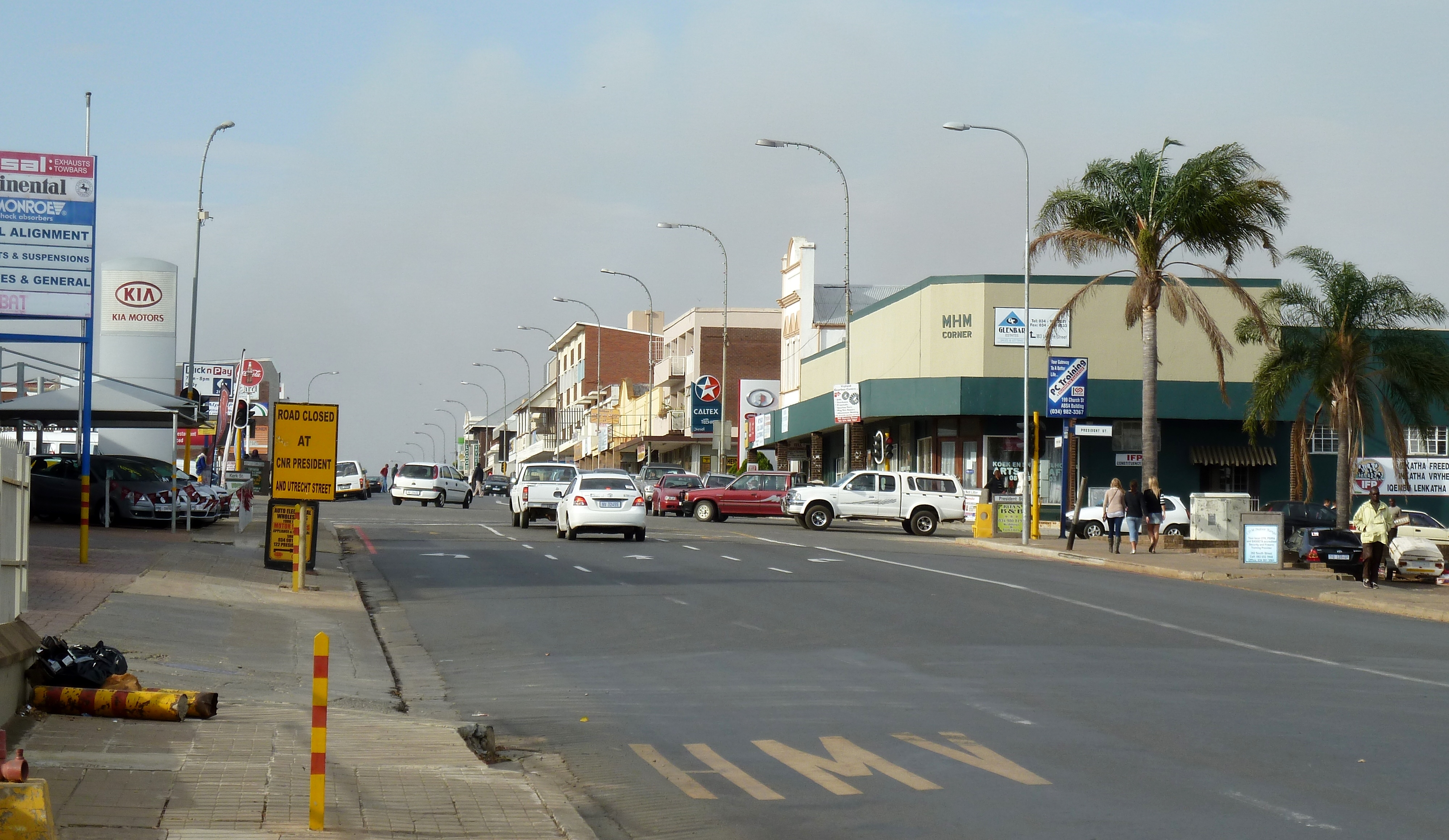
Vryheid ( zu, IVryheid) is a coal mining and cattle ranching town in northern KwaZulu-Natal, South Africa. Vryheid is the Afrikaans word for "freedom". History After Boer farmers, who lived in the Vryheid area, had helped King Dinuzulu defeat his rival chief Zibhebhu for succession of the Zulu throne, land that they occupied was given to them by cession from the Zulu king along the banks of the Mfolozi River. On August 5, 1884 the Boers formed the ''Nieuwe Republiek'' (New Republic) with Vryheid as its capital and its sovereignty was recognized by Germany and Portugal. It was later incorporated into the South African Republic, but at the end of the Second Boer War the town and its surrounding area was absorbed into the Natal colony by the British. Vryheid is located along the Transnet Coalline. Education In 2007 Inkamana High School and Vryheid Comprehensive Secondary School were amongst several schools recognised as "historic schools". Funding of six million rand a year was e ... [...More Info...] [...Related Items...] OR: [Wikipedia] [Google] [Baidu] |
Griquas
The Griquas (; af, Griekwa, often confused with ''!Orana'', which is written as ''Korana'' or ''Koranna'') are a subgroup of heterogeneous former Khoe-speaking nations in Southern Africa with a unique origin in the early history of the Cape Colony. Text was copied from this source, which is available under a Creative Commons license. Under apartheid, they were given a special racial classification under the broader category of " Coloured". Similar to the Trekboers (another Afrikaans-speaking group of the time), they originally populated the frontiers of the nascent Cape Colony (founded in 1652). The men of their semi-nomadic society formed commando units of mounted gunmen. Like the Boers, they migrated inland from the Cape, in the 19th century establishing several states in what are now South Africa and Namibia. Griqua was the name given to a mixed-race culture in the Cape Colony of South Africa, around the 17th and 18th Century (Taylor, 2020). They were also known as Hott ... [...More Info...] [...Related Items...] OR: [Wikipedia] [Google] [Baidu] |
East Griqualand
Griqualand East (Afrikaans: ''Griekwaland-Oos''), officially known as New Griqualand (Dutch: ''Nieuw Griqualand''), was one of four short-lived Griqua states in Southern Africa from the early 1860s until the late 1870s and was located between the Umzimkulu and Kinira Rivers, south of the Sotho Kingdom. Griqualand East's capital, Kokstad, was the final place of settlement for a people who had migrated several times on their journey from the Cape of Good Hope and over the mountains of present-day Lesotho. The territory was occupied by the British Empire and became a colony in 1874, shortly before the death of its founder and only leader, Adam Kok III. A short while later, the small territory was incorporated into the neighbouring Cape Colony. Though for a long time overshadowed in history by the story of the Voortrekkers, the ''trek'' of the Griquas has been described as "one of the great epics of the 19th century."''"...een van die epiese gebeurtenisse van die 19de eeu."''Web ... [...More Info...] [...Related Items...] OR: [Wikipedia] [Google] [Baidu] |
Uitenhage
Uitenhage ( ; ), officially renamed Kariega, is a South African town in the Eastern Cape Province. It is well known for the Volkswagen factory located there, which is the biggest car factory on the African continent. Along with the city of Port Elizabeth and the small town of Despatch, it forms the Nelson Mandela Metropolitan Municipality. History Uitenhage was founded on 25 April 1804 by '' landdrost'' (district magistrate) Jacob Glen Cuyler and named in honour of the Cape's Commissioner-General Jacob Abraham Uitenhage de Mist by the Dutch Cape Colony governor, Jan Willem Janssens. Uitenhage formed part of the district of Graaff Reinet (shortly after its short-lived secession). The Cape Colony received a degree of independence when " Responsible Government" was declared in 1872. In 1875, the Cape government of John Molteno took over the rudimentary Uitenhage railway site, incorporated it into the Cape Government Railways (CGR), and began construction of the lines connect ... [...More Info...] [...Related Items...] OR: [Wikipedia] [Google] [Baidu] |
Limpopo River
The Limpopo River rises in South Africa and flows generally eastward through Mozambique to the Indian Ocean. The term Limpopo is derived from Rivombo (Livombo/Lebombo), a group of Tsonga settlers led by Hosi Rivombo who settled in the mountainous vicinity and named the area after their leader. The river is approximately long, with a drainage basin in size. The mean discharge measured over a year is per second at its mouth. The Limpopo is the second largest river in Africa that drains to the Indian Ocean, after the Zambezi River. The first European to sight the river was Vasco da Gama, who anchored off its mouth in 1498 and named it Espirito Santo River. Its lower course was explored by St Vincent Whitshed Erskine in 1868–69, and Captain J F Elton travelled down its middle course in 1870. The drainage area of Limpopo River has decreased over geological time. Up to Late Pliocene or Pleistocene times, the upper course of the Zambezi River drained into the Limpopo River. The ... [...More Info...] [...Related Items...] OR: [Wikipedia] [Google] [Baidu] |
Spanish Flu
The 1918–1920 influenza pandemic, commonly known by the misnomer Spanish flu or as the Great Influenza epidemic, was an exceptionally deadly global influenza pandemic caused by the H1N1 influenza A virus. The earliest documented case was March 1918 in Kansas, United States, with further cases recorded in France, Germany and the United Kingdom in April. Two years later, nearly a third of the global population, or an estimated 500 million people, had been infected in four successive waves. Estimates of deaths range from 17 million to 50 million, and possibly as high as 100 million, making it one of the deadliest pandemics in history. The pandemic broke out near the end of World War I, when wartime censors suppressed bad news in the belligerent countries to maintain morale, but newspapers freely reported the outbreak in neutral Spain, creating a false impression of Spain as the epicenter and leading to the "Spanish flu" misnomer. Limited historical epidemiologic ... [...More Info...] [...Related Items...] OR: [Wikipedia] [Google] [Baidu] |


