|
Skanderbeg Mountains
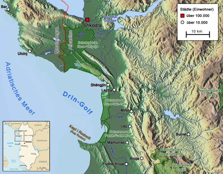
The Skanderbeg Mountains ( sq, Vargmalet e Skënderbeut or ) are a mountain range in Albania, Southern Europe. Geography Skanderbeg Mountain is located on the border between the district of Kruja and that of Mat with the highest altitude 1724 m (Lake Peak). It stretches from the valley of the river Mat in the north and to Qafa e Shtama in the south, with a length of 22 km and a width of 2-5 km. It is part of the Western Mountains. The relief is very fragmented by streams, tributaries of the Mati and Ishm rivers. The slopes are steep, while the wavy relief, places with glacial and karst forms. On the northeast side, about 200 m below the highest peak, there are two small glacial lakes, which have given the name to the peak. The mountain is lined with dense vegetation. See also * Albanian Adriatic Sea Coast * Geography of Albania Albania is a small country in Southern, Southeastern Europe and Western Balkans strategically positioned on the Adriatic and Ionian Sea in ... [...More Info...] [...Related Items...] OR: [Wikipedia] [Google] [Baidu] |
Albania
Albania ( ; sq, Shqipëri or ), or , also or . officially the Republic of Albania ( sq, Republika e Shqipërisë), is a country in Southeastern Europe. It is located on the Adriatic and Ionian Seas within the Mediterranean Sea and shares land borders with Montenegro to the northwest, Kosovo to the northeast, North Macedonia to the east and Greece to the south. Tirana is its capital and largest city, followed by Durrës, Vlorë, and Shkodër. Albania displays varied climatic, geological, hydrological, and morphological conditions, defined in an area of . It possesses significant diversity with the landscape ranging from the snow-capped mountains in the Albanian Alps as well as the Korab, Skanderbeg, Pindus and Ceraunian Mountains to the hot and sunny coasts of the Albanian Adriatic and Ionian Sea along the Mediterranean Sea. Albania has been inhabited by different civilisations over time, such as the Illyrians, Thracians, Greeks, Romans, Byzantines, ... [...More Info...] [...Related Items...] OR: [Wikipedia] [Google] [Baidu] |
Mountain Range
A mountain range or hill range is a series of mountains or hills arranged in a line and connected by high ground. A mountain system or mountain belt is a group of mountain ranges with similarity in form, structure, and alignment that have arisen from the same cause, usually an orogeny. Mountain ranges are formed by a variety of geological processes, but most of the significant ones on Earth are the result of plate tectonics. Mountain ranges are also found on many planetary mass objects in the Solar System and are likely a feature of most terrestrial planets. Mountain ranges are usually segmented by highlands or mountain passes and valleys. Individual mountains within the same mountain range do not necessarily have the same geologic structure or petrology. They may be a mix of different orogenic expressions and terranes, for example thrust sheets, uplifted blocks, fold mountains, and volcanic landforms resulting in a variety of rock types. Major ranges Most ge ... [...More Info...] [...Related Items...] OR: [Wikipedia] [Google] [Baidu] |
Southern Europe
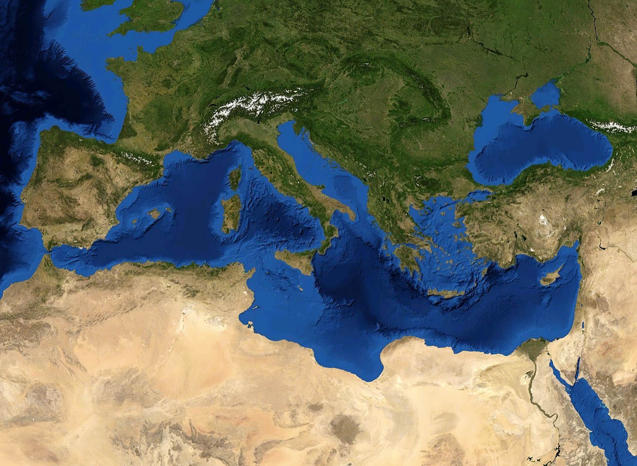
Southern Europe is the southern region of Europe. It is also known as Mediterranean Europe, as its geography is essentially marked by the Mediterranean Sea. Definitions of Southern Europe include some or all of these countries and regions: Albania, Andorra, Bosnia and Herzegovina, Bulgaria, Croatia, Cyprus, East Thrace, Gibraltar, Greece, Italy, Kosovo, Malta, Moldova, Monaco, Montenegro, North Macedonia, Portugal, Romania, San Marino, Serbia, Slovenia, Southern France, Spain, and Vatican City (the Holy See). Southern Europe is focused on the three peninsulas located in the extreme south of the European continent. These are the Iberian Peninsula, the Apennine Peninsula, and the Balkan Peninsula. These three peninsulas are separated from the rest of Europe by towering mountain ranges, respectively by the Pyrenees, the Alps and the Balkan Mountains. The location of these peninsulas in the heart of the Mediterranean Sea, as well as their mountainous reliefs, provide them ... [...More Info...] [...Related Items...] OR: [Wikipedia] [Google] [Baidu] |
Academy Of Sciences Of Albania
The Academy of Sciences of Albania ( sq, Akademia e Shkencave e Shqipërisë), founded in 1972, is the most important scientific institution in Albania. In the 1980s, several research institutes began at the University of Tirana were transferred to the Academy's jurisdiction. The institution includes the most distinguished scientists, also called "academics", that are involved in research centers and other organisations inside and outside Albania. , the Academy had 23 regular members, 10 associated members, one permanent member, and 26 honor members. The Academy was among several dozen of the world's scientific academies which endorsed through signature the Summit Statement emerging from the New Delhi Population Summit of 1994. Organization The Academy is composed of two sections: * Social Sciences and Albanological Section * Natural and Technical Sciences Section It also includes the following units: * Projects of Technological and Innovation Development, * Branch for For ... [...More Info...] [...Related Items...] OR: [Wikipedia] [Google] [Baidu] |
Mat District
Mat District () was one of the 36 districts of Albania, which were dissolved in July 2000 and replaced by 12 newly created counties. It had a population of 61,906 in 2001, and an area of . It was named after the river Mat, which flows through the district. Its capital was the town of Burrel. Its territory is now part of Dibër County: the municipalities of Mat and Klos. Administrative divisions The district consisted of the following municipalities: * Baz *Burrel * Derjan * Gurrë * Klos *Komsi * Lis * Macukull * Rukaj *Suç * Ulëz *Xibër History In ancient times here lived a illyrian tribe named Pirustae. They were famous for their bravery and they proved this in their wars against the Roman Empire together with the Kingdom of Dardania. Mat is believed to be one of the oldest Albanian settlements, probably as old as the 2nd-5th century AD, and historical linguistic studies together with archeological evidence proves that. Some of the oldest settlements in the r ... [...More Info...] [...Related Items...] OR: [Wikipedia] [Google] [Baidu] |
Mat (river)
The Mat ( sq-definite, Mati) is a river in north-central Albania. Its overall length is , while its catchment surface is . Its average discharge is . The main tributary is Fan, flowing from the northeast, while the Mat flows from the southwest down to the confluence with Fan and then towards the Adriatic Sea. Etymology The Albanian name ''mat'' originally meant "elevated location", "mountain place". Today's meaning in Albanian, "river bank, river shore", is a consequence of a secondary change through the common use of both the terms ''mal'', "mountain" and ''breg'', "shore", giving the meaning of "elevation". The river was recorded by Roman writer Vibius Sequester (4th or 5th century AD) as ''Mathis'', following a hellenized graphic mode of the term ''mat''. It appeared in written records also as ''Mathia'' in 1380. Overview Mat originates from the confluence of several streams within the karstic mountains in Martanesh, where it forms deep gorges and canyons. Rising in Ma ... [...More Info...] [...Related Items...] OR: [Wikipedia] [Google] [Baidu] |
Ishëm (river)
The Ishëm (or Ishmi; sq, Lumi i Ishmit) is a river in western Albania, which brings water to the area north of the Albanian capital, Tirana. It forms part of a watercourse ( Tiranë- Gjole-Ishëm), but only the lower third of the watercourse is known as the Ishëm. The Ishëm proper is formed at the confluence of the rivers Gjole and Zezë, a few km northwest of Fushë-Krujë. It flows into the Adriatic Sea near the town Ishëm. The length of the watercourse is recorded in different sources as between 74 and 79 km.Alqiviadh Cullaj, Agim Hasko, Aleko Miho, Ferdinand Schanz, Helmut Brandl, Reinhard Bachofen: ''The quality of Albanian natural waters and the human impact'', in: '' Environment International'' 31 (2005) Etymology The name of the river was recorded for the first time by Vibius Sequester (4th or 5th century AD) as ''Isamnus''. Albanian ''Ishëm'' derives from the ancient name through Albanian phonetic changes, however it has been noted that the accentual patter ... [...More Info...] [...Related Items...] OR: [Wikipedia] [Google] [Baidu] |
Albanian Adriatic Sea Coast
The Albanian Adriatic Sea Coast ( — ) stretches in the Southeastern Adriatic Sea beginning at the Gulf of Drin in the north, across the port cities of Shëngjin, Durrës and Vlorë, to the Bay of Vlorë in the south, where the Albanian Riviera as well as the Albanian Ionian Sea Coast begins. Albania is geographically located in South and Southeast Europe within the Balkan Peninsula. It borders on Montenegro to the northwest, Kosovo to the northeast, North Macedonia to the east, Greece to the south and the Mediterranean Sea to the west. The total length of the coastline is approximately , of which are taken up by white sandy beaches and the remaining by different landforms. The Adriatic Sea is the northernmost arm of the Mediterranean Sea extending all the way from the Strait of Otranto in the south up to the Po Valley in the north. The sea is apportioned into two major basins, wherein Albania is entirely located within the deepest and southernmost one. The coastline is o ... [...More Info...] [...Related Items...] OR: [Wikipedia] [Google] [Baidu] |
Geography Of Albania
Albania is a small country in Southern, Southeastern Europe and Western Balkans strategically positioned on the Adriatic and Ionian Sea inside the Mediterranean Sea, with a coastline of about . It is bounded by Montenegro to the northwest, Kosovo to the northeast, North Macedonia to the east and Greece to the southeast and south. Most of Albania rises into mountains and hills, tending to run the length of the country from north to south, as for instance the Albanian Alps in the north, the Sharr Mountains in the northeast, the Skanderbeg Mountains in the center, the Korab Mountains in the east, the Pindus Mountains in the southeast, and the Ceraunian Mountains in the southwest. Plains and plateaus extend in the west along the Albanian Adriatic and Ionian Sea Coast. Some of the most considerable and oldest bodies of freshwater of Europe can be found in Albania. The second largest lake of Southern Europe, the Lake of Shkodër, is located in the northwest surrounded by the Al ... [...More Info...] [...Related Items...] OR: [Wikipedia] [Google] [Baidu] |


