|
Sisco Heights, Washington
Sisco Heights is a census-designated place (CDP) in Snohomish County, Washington, United States. It is located between Arlington and Marysville along State Route 9. As of the 2020 U.S. census The United States census of 2020 was the twenty-fourth decennial United States census. Census Day, the reference day used for the census, was April 1, 2020. Other than a pilot study during the 2000 census, this was the first U.S. census to of ..., it had a population of 3,140 people. A post office called Sisco was established in 1902, and remained in operation until 1918. The community has the name of an early settler. Its school closed around 1925. Geography The Sisco Heights CDP is . References Census-designated places in Snohomish County, Washington {{SnohomishCountyWA-geo-stub ... [...More Info...] [...Related Items...] OR: [Wikipedia] [Google] [Baidu] |
Census-designated Place
A census-designated place (CDP) is a Place (United States Census Bureau), concentration of population defined by the United States Census Bureau for statistical purposes only. CDPs have been used in each decennial census since 1980 as the counterparts of incorporated places, such as self-governing city (United States), cities, town (United States), towns, and village (United States), villages, for the purposes of gathering and correlating statistical data. CDPs are populated areas that generally include one officially designated but currently unincorporated area, unincorporated community, for which the CDP is named, plus surrounding inhabited countryside of varying dimensions and, occasionally, other, smaller unincorporated communities as well. CDPs include small rural communities, Edge city, edge cities, colonia (United States), colonias located along the Mexico–United States border, and unincorporated resort and retirement community, retirement communities and their environs. ... [...More Info...] [...Related Items...] OR: [Wikipedia] [Google] [Baidu] |
Washington (state)
Washington (), officially the State of Washington, is a state in the Pacific Northwest region of the Western United States. Named for George Washington—the first U.S. president—the state was formed from the western part of the Washington Territory, which was ceded by the British Empire in 1846, by the Oregon Treaty in the settlement of the Oregon boundary dispute. The state is bordered on the west by the Pacific Ocean, Oregon to the south, Idaho to the east, and the Canadian province of British Columbia to the north. It was admitted to the Union as the 42nd state in 1889. Olympia is the state capital; the state's largest city is Seattle. Washington is often referred to as Washington state to distinguish it from the nation's capital, Washington, D.C. Washington is the 18th-largest state, with an area of , and the 13th-most populous state, with more than 7.7 million people. The majority of Washington's residents live in the Seattle metropolitan area, the center o ... [...More Info...] [...Related Items...] OR: [Wikipedia] [Google] [Baidu] |
Snohomish County, Washington
Snohomish County () is a county located in the U.S. state of Washington. With a population of 827,957 as of the 2020 census, it is the third-most populous county in Washington, after nearby King and Pierce counties, and the 75th-most populous in the United States. The county seat and largest city is Everett. The county forms part of the Seattle metropolitan area, which also includes King and Pierce counties to the south. The county's western portion, facing Puget Sound and other inland waters of the Salish Sea, is home to the majority of its population and major cities. The eastern portion is rugged and includes portions of the Cascade Range, with few settlements along major rivers and most of it designated as part of Mount Baker–Snoqualmie National Forest. Snohomish County is bound to the north by Skagit County, to the east by Chelan County, to the south by King County, and to the west by Kitsap and Island counties. Snohomish County was created out of Island Count ... [...More Info...] [...Related Items...] OR: [Wikipedia] [Google] [Baidu] |
2020 United States Census
The United States census of 2020 was the twenty-fourth decennial United States census. Census Day, the reference day used for the census, was April 1, 2020. Other than a pilot study during the 2000 census, this was the first U.S. census to offer options to respond online or by phone, in addition to the paper response form used for previous censuses. The census was taken during the COVID-19 pandemic, which affected its administration. The census recorded a resident population of 331,449,281 in the fifty states and the District of Columbia, an increase of 7.4 percent, or 22,703,743, over the preceding decade. The growth rate was the second-lowest ever recorded, and the net increase was the sixth highest in history. This was the first census where the ten most populous states each surpassed 10 million residents as well as the first census where the ten most populous cities each surpassed 1 million residents. Background As required by the United States Constitution, the U.S. ce ... [...More Info...] [...Related Items...] OR: [Wikipedia] [Google] [Baidu] |
Pacific Time Zone
The Pacific Time Zone (PT) is a time zone encompassing parts of western Canada, the western United States, and western Mexico. Places in this zone observe standard time by subtracting eight hours from Coordinated Universal Time ( UTC−08:00). During daylight saving time, a time offset of UTC−07:00 is used. In the United States and Canada, this time zone is generically called the Pacific Time Zone. Specifically, time in this zone is referred to as Pacific Standard Time (PST) when standard time is being observed (early November to mid-March), and Pacific Daylight Time (PDT) when daylight saving time (mid-March to early November) is being observed. In Mexico, the corresponding time zone is known as the ''Zona Noroeste'' (Northwest Zone) and observes the same daylight saving schedule as the U.S. and Canada. The largest city in the Pacific Time Zone is Los Angeles, whose metropolitan area is also the largest in the time zone. The zone is two hours ahead of the Hawaii–Ale ... [...More Info...] [...Related Items...] OR: [Wikipedia] [Google] [Baidu] |
Arlington, Washington
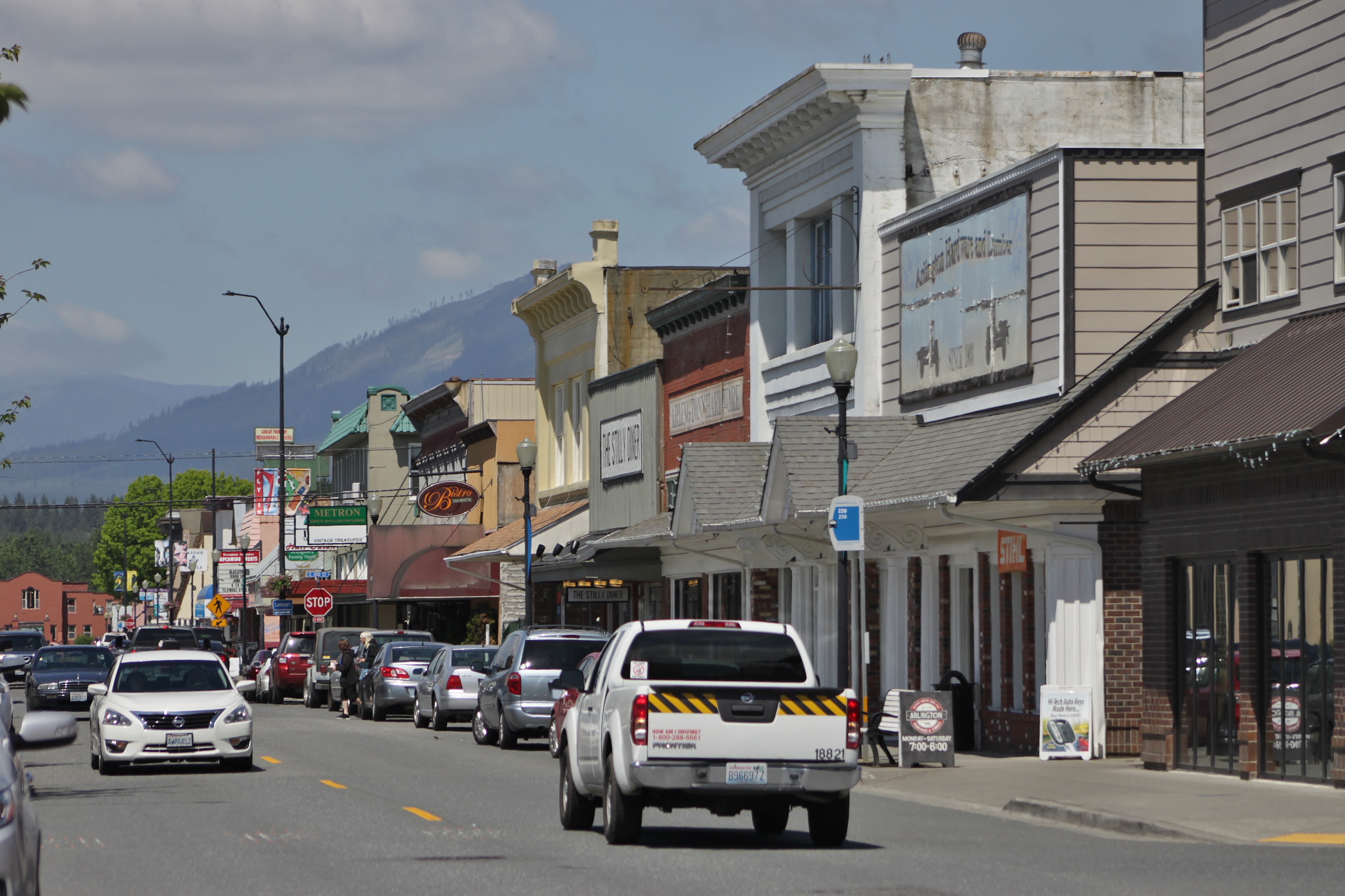
Arlington is a city in northern Snohomish County, Washington, United States, part of the Seattle metropolitan area. The city lies on the Stillaguamish River in the western foothills of the Cascade Range, adjacent to the city of Marysville. It is approximately north of Everett, the county seat, and north of Seattle, the state's largest city. As of the 2020 U.S. census, Arlington had a population of 19,868; its estimated population is 20,075 as of 2021. Arlington was established in the 1880s by settlers and the area was platted as two towns, Arlington and Haller City. Haller City was absorbed by the larger Arlington, which was incorporated as a city in 1903. During the Great Depression of the 1930s, the Arlington area was the site of major projects undertaken for employment under the direction of federal relief agencies, including construction of a municipal airport that would serve as a naval air station during World War II. Arlington began suburbanizing in the 1980s, grow ... [...More Info...] [...Related Items...] OR: [Wikipedia] [Google] [Baidu] |
Marysville, Washington
Marysville is a city in Snohomish County, Washington, United States, part of the Seattle metropolitan area. The city is located north of Seattle, adjacent to Everett on the north side of the Snohomish River delta. It is the second-largest city in Snohomish County after Everett, with a population of 70,714 at the time of the 2020 U.S. census. , Marysville was also the fastest-growing city in Washington state, growing at an annual rate of 2.5 percent. Marysville was established in 1872 as a trading post by James P. Comeford, but was not populated by other settlers until 1883. After the town was platted in 1885, a period of growth brought new buildings and industries to Marysville. In 1891, Marysville was incorporated and welcomed the completed Great Northern Railway. Historically, the area has subsisted on lumber and agrarian products; the growth of strawberry fields in Marysville led to the city being nicknamed the "Strawberry City" in the 1920s. The city experienced its fi ... [...More Info...] [...Related Items...] OR: [Wikipedia] [Google] [Baidu] |
Washington State Route 9
State Route 9 (SR 9) is a long state highway traversing three counties, Snohomish, Skagit, and Whatcom, in the U.S. state of Washington. The highway extends north from an interchange with in the vicinity of Woodinville north through Snohomish, Lake Stevens, Arlington, Sedro-Woolley, and Nooksack to become (BC 11) at the Canada–US border in Sumas. Three other roadways are briefly concurrent with the route: in Arlington, in Sedro-Woolley, and near Deming. A spur route in Sumas serves trucks traveling into British Columbia. Before SR 9 was created, several other roads used the route of the current highway. The first was a roadway extending from the current southern terminus to Snohomish established by 1895 and another road between Arlington and Sedro-Woolley by 1911. The current SR 542 concurrency was first established in 1925, when a branch of from Bellingham to Mount Baker was added to the state highway system. These roads were combin ... [...More Info...] [...Related Items...] OR: [Wikipedia] [Google] [Baidu] |
The Everett Herald
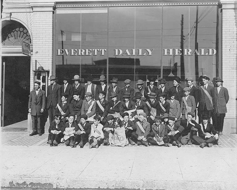
''The Everett Herald'' is a daily newspaper based in Everett, Washington, United States. It is owned by Sound Publishing, Inc. The paper serves residents of Snohomish County. History ''The Daily Herald'' was first published on February 11, 1901, by S. A. Perkins and S. E. Wharton. An earlier newspaper known as the ''Herald'' had been established in 1891 and ceased publication during the Panic of 1893. The second incarnation of the ''Herald'', originally named the ''Everett Independent'', was sold to James B. Best in 1905. The newspaper established a satellite news bureau for southern Snohomish County in May 1954, which later became the ''Western Sun'' edition in 1970. The ''Herald'' moved its offices and printing presses to a building on California Street in 1959. The Best family owned the newspaper until it was sold in 1978 to the Washington Post Company. On April 5, 1981, the ''Herald'' published its first Sunday edition and folded the ''Western Sun'' edition into the county ... [...More Info...] [...Related Items...] OR: [Wikipedia] [Google] [Baidu] |


