|
San Juan Province (Argentina)
San Juan Province () is a province of Argentina, located in the western part of the country. Neighbouring provinces are, moving clockwise from the north, La Rioja, San Luis and Mendoza. It borders with Chile to the west. The province has an area of 89,651 km2, covering a mountainous region with scarce vegetation, fertile oases and turbulent rivers. Throughout the entire province there are an important number of paleontological sites. Similar to other regions in Argentina, agriculture is one of the most important economic activities, highlighting wine production and olive oil. Additionally, a variety of fruits and vegetables are produced in the fertile valleys irrigated by artificial channels in the western part, close to the Andes mountain range. This is the second province in volume of wine production at the national level and in South America, and possesses outstanding varietal wines. It is also an important center of mining and oil production. History Before the ... [...More Info...] [...Related Items...] OR: [Wikipedia] [Google] [Baidu] |
Provinces Of Argentina
Argentina is subdivided into twenty-three federated states called provinces ( es, provincias, singular ''provincia'') and one called the autonomous city (''ciudad autónoma'') of Buenos Aires, which is the federal capital of the republic ( es, Capital Federal, links=no) as decided by the Argentine Congress. The provinces and the capital have their own constitutions, and exist under a federal system. History During the War of Independence the main cities and their surrounding countrysides became provinces though the intervention of their ''cabildos''. The Anarchy of the Year XX completed this process, shaping the original thirteen provinces. Jujuy seceded from Salta in 1834, and the thirteen provinces became fourteen. After seceding for a decade, Buenos Aires Province accepted the 1853 Constitution of Argentina in 1861, and its capital city was made a federal territory in 1880. A law from 1862 designated as national territories those under federal control but outside ... [...More Info...] [...Related Items...] OR: [Wikipedia] [Google] [Baidu] |
San Luis Province
San Luis () is a province of Argentina located near the geographical center of the country (on the 32° South parallel). Neighboring provinces are, from the north clockwise, La Rioja, Córdoba, La Pampa, Mendoza and San Juan. History The city of San Luis was founded in 1594 by Luis Jufré de Loaysa y Meneses, but was subsequently abandoned. It was refounded by Martín García Óñez de Loyola in 1596 under the name ''San Luis de Loyola''. Since the return of Argentina to democratic rule in 1983, in particular, the Rodríguez Saá family (of Peronist affiliation) has occupied the governor's seat. Governor (now Senator) Adolfo Rodríguez Saá has overseen investment by light manufacturers (mostly food-processors and bottling plants) and advances like the construction of Argentina's most extensive expressway network. [...More Info...] [...Related Items...] OR: [Wikipedia] [Google] [Baidu] |
San Juan River (Argentina)
The San Juan River is, together with the Jáchal, the most important river of the Argentine province of San Juan. Both join the Desaguadero/Colorado system that ends at the Atlantic Ocean. Course The river starts near the town of Calingasta, in the southwest of the province, from the confluence of three main rivers: the Calingasta River, the Castaño Viejo River, and the Río de los Patos. These rivers are born at an altitude of about above mean sea level in the west and southwest of the province (in contrast, the Jáchal receives its Andean tributaries from the north of the province). From Calingasta the river flows eastwards feeding the Los Caracoles, Punta Negra and Quebrada de Ullum Dams (''Embalse Quebrada de Ullum'') located near San Juan city, from which it continues south-eastwards receiving a few more tributaries, including the Mendoza River, to later join the Desaguadero River near the ''Salina Pampa de las Latas'' (or ''Salina Bermejo''), at the common bor ... [...More Info...] [...Related Items...] OR: [Wikipedia] [Google] [Baidu] |
Inca Empire
The Inca Empire (also known as the Incan Empire and the Inka Empire), called ''Tawantinsuyu'' by its subjects, ( Quechua for the "Realm of the Four Parts", "four parts together" ) was the largest empire in pre-Columbian America. The administrative, political and military center of the empire was in the city of Cusco. The Inca civilization arose from the Peruvian highlands sometime in the early 13th century. The Spanish began the conquest of the Inca Empire in 1532 and by 1572, the last Inca state was fully conquered. From 1438 to 1533, the Incas incorporated a large portion of western South America, centered on the Andean Mountains, using conquest and peaceful assimilation, among other methods. At its largest, the empire joined modern-day Peru, what are now western Ecuador, western and south central Bolivia, northwest Argentina, the southwesternmost tip of Colombia and a large portion of modern-day Chile, and into a state comparable to the historical empires o ... [...More Info...] [...Related Items...] OR: [Wikipedia] [Google] [Baidu] |
Diaguita
The Diaguita people are a group of South American indigenous people native to the Chilean Norte Chico and the Argentine Northwest. Western or Chilean Diaguitas lived mainly in the Transverse Valleys which incised in a semi-arid environment. Eastern or Argentine Diaguitas lived in the provinces of La Rioja and Catamarca and part of the provinces of Salta, San Juan and Tucumán. The term ''Diaguita'' was first applied to peoples and archaeological cultures by Ricardo E. Latcham in the early 20th century. Ancient Diaguitas were not a unified people; the language or dialects used by them seems to have varied from valley to other valleys and they were politically fragmented into several chiefdoms. Coastal and inland Chilean Diaguitas traded, as evidenced by the archaeological findings of mollusc shells in the upper courses of Andean valleys. According to the 2010 census there are 67,410 self-identified Diaguita descendants in Argentina. In Chile, Diaguitas are the third-most po ... [...More Info...] [...Related Items...] OR: [Wikipedia] [Google] [Baidu] |
Huarpe
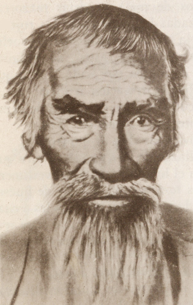
The Huarpes or Warpes are an indigenous people of Argentina, living in the Cuyo region. Some scholars assume that in the Huarpe language, this word means "sandy ground," but according to ''Arte y Vocabulario de la lengua general del Reino de Chile'', written by Andrés Febrés in Lima in 1765, the word ''Cuyo'' comes from Araucanian ''cuyum puulli'', meaning "sandy land" or "desert country". History Huarpe people settled in permanent villages beginning in the 5th century CE. About 50 to 100 people lived in a village, making them smaller than Diaguita settlements. They were agrarian people who grew corn (''Zea mays''), beans, squash, and quinoa ('' Chenopodium quinoa'').Lewis 18 Towards the 15th century, Huarpe territory expanded into the current Argentinian provinces of San Luis, Mendoza and San Juan and even on the north of the Neuquen Province. They inhabited between the Jáchal River at north, to the Diamante River at south and between the Andes and Conlara Valley on San ... [...More Info...] [...Related Items...] OR: [Wikipedia] [Google] [Baidu] |
Conquistadores
Conquistadors (, ) or conquistadores (, ; meaning 'conquerors') were the explorer-soldiers of the Spanish and Portuguese Empires of the 15th and 16th centuries. During the Age of Discovery, conquistadors sailed beyond Europe to the Americas, Oceania, Africa, and Asia, colonizing and opening trade routes. They brought much of the Americas under the dominion of Spain and Portugal. After arrival in the West Indies in 1492, the Spanish, usually led by hidalgos from the west and south of Spain, began building an American empire in the Caribbean using islands such as Hispaniola, Cuba, and Puerto Rico as bases. From 1519 to 1521, Hernán Cortés waged a campaign against the Aztec Empire, ruled by Moctezuma II. From the territories of the Aztec Empire, conquistadors expanded Spanish rule to northern Central America and parts of what is now the southern and western United States, and from Mexico sailing the Pacific Ocean to the Philippines. Other conquistadors took over the Inca Emp ... [...More Info...] [...Related Items...] OR: [Wikipedia] [Google] [Baidu] |
Spanish Colonization Of The Americas
Spain began colonizing the Americas under the Crown of Castile and was spearheaded by the Spanish . The Americas were invaded and incorporated into the Spanish Empire, with the exception of Brazil, British America, and some small regions of South America and the Caribbean. The crown created civil and religious structures to administer the vast territory. The main motivations for colonial expansion were profit through resource extraction and the spread of Catholicism by converting indigenous peoples. Beginning with Columbus's first voyage to the Caribbean and gaining control over more territory for over three centuries, the Spanish Empire would expand across the Caribbean Islands, half of South America, most of Central America and much of North America. It is estimated that during the colonial period (1492–1832), a total of 1.86 million Spaniards settled in the Americas, and a further 3.5 million immigrated during the post-colonial era (1850–1950); the esti ... [...More Info...] [...Related Items...] OR: [Wikipedia] [Google] [Baidu] |
Terremoto De 1944, San Juan, Argentina
''Terremoto'' is the fifth studio album from Italian rock band Litfiba and the band's most hard rock album. It continues on the way started with previous album El Diablo to harden the music, with the massive use of distorted guitars that contrasts with the new wave pop rock performed on the 3 first albums. Lyrics are also stronger and refer to social and political criticism. It is the second chapter of the "Tetralogy of elements", started on "El Diablo". It is dedicated to earth. It was produced by Alberto Pirelli. Track listing # ''Dimmi il nome'' – 3:41 # ''Maudit'' – 4:54 # ''Fata Morgana'' – 5:13 # ''Soldi'' – 3:49 # ''Firenze sogna'' – 4:38 # ''Dinosauro'' – 3:47 # ''Prima guardia'' – 4:56 # ''Il mistero Di Giulia'' – 5:57 # ''Sotto il vulcano'' – 4:50 Personnel *Piero Pelù - Vocals *Roberto Terzani - Bass * Ghigo Renzulli - Guitars * Antonio Aiazzi - Keyboards *Franco Caforio - Drums *Fabrizio Simoncioni Fabrizio is an Italian first name, from the Lati ... [...More Info...] [...Related Items...] OR: [Wikipedia] [Google] [Baidu] |
Ciudad De San Juan Argentina 1894 '' 2017
{{dab ...
Ciudad () is the Spanish word for City Ciudad may also refer to: *La Ciudad (archaeological site), Hohokam ruins in Phoenix, Arizona *La Ciudad, district of Durango City, Mexico *''La ciudad'', novel by Mario Levrero 1970 *La Ciudad ''The City'' (1998 film) *''Ciudad'' (film), directed by Balthasar Burkhard * Ciudad (band), Philippines band ''Rakista'' TV series * La Ciudad, nickname for Mexico City, Mexico *"La Ciudad", song by Odesza from ''A Moment Apart ''A Moment Apart'' is the third studio album by the American electronic music duo Odesza, released on 8 September 2017 through Counter, Ninja Tune and the duo's own label, Foreign Family Collective. It is the duo's first album in three years af ... [...More Info...] [...Related Items...] OR: [Wikipedia] [Google] [Baidu] |
Andes
The Andes, Andes Mountains or Andean Mountains (; ) are the longest continental mountain range in the world, forming a continuous highland along the western edge of South America. The range is long, wide (widest between 18°S – 20°S latitude), and has an average height of about . The Andes extend from north to south through seven South American countries: Venezuela, Colombia, Ecuador, Peru, Bolivia, Chile, and Argentina. Along their length, the Andes are split into several ranges, separated by intermediate depressions. The Andes are the location of several high plateaus—some of which host major cities such as Quito, Bogotá, Cali, Arequipa, Medellín, Bucaramanga, Sucre, Mérida, El Alto and La Paz. The Altiplano plateau is the world's second-highest after the Tibetan plateau. These ranges are in turn grouped into three major divisions based on climate: the Tropical Andes, the Dry Andes, and the Wet Andes. The Andes Mountains are the highest m ... [...More Info...] [...Related Items...] OR: [Wikipedia] [Google] [Baidu] |


.jpg)