|
SEPTA Route 79
SEPTA Route 79 is a former trackless trolley and current bus route, operated by the Southeastern Pennsylvania Transportation Authority (SEPTA) in South Philadelphia, Pennsylvania, United States. The line runs between the Point Breeze neighborhood and the vicinity of Pier 70 along the Delaware River. Trackless trolleys replaced buses in 1961Springirth, Kenneth C. (2008). ''Southeastern Pennsylvania Trolleys'', pp. 10 and 115. Charleston, SC (US): Arcadia Publishing. . but were suspended in 2003, and the authority later decided against restoring trackless trolley service. Trolley cars had previously served Route 79 from 1912 until 1956. Route description The line begins at 29th Street and Snyder Avenue, and then heads east along Snyder Avenue. At 25th Street, a viaduct above the street and the line is for a former Pennsylvania Railroad rail spur designed to serve neighborhood industries. Major intersections along this line include 22nd Street, Passyunk Avenue, and Broad Street, ... [...More Info...] [...Related Items...] OR: [Wikipedia] [Google] [Baidu] |
SEPTA
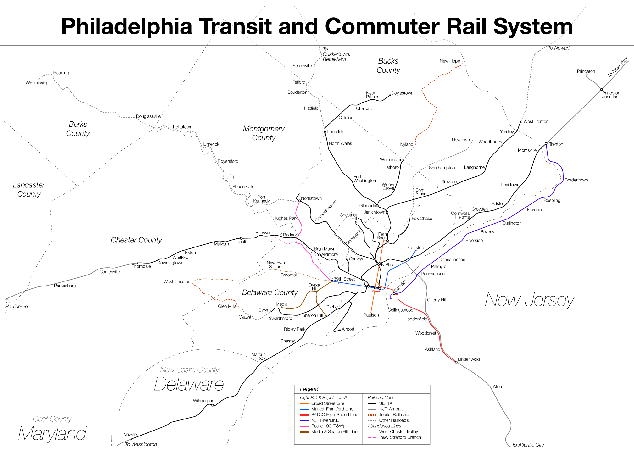
The Southeastern Pennsylvania Transportation Authority (SEPTA) is a regional public transportation authority that operates bus, rapid transit, commuter rail, light rail, and electric trolleybus services for nearly 4 million people in five counties in and around Philadelphia, Pennsylvania. It also manages projects that maintain, replace and expand its infrastructure, facilities and vehicles. SEPTA is the major transit provider for Philadelphia and the counties of Delaware, Montgomery, Bucks, and Chester. It is a state-created authority, with the majority of its board appointed by the five Pennsylvania counties it serves. While several SEPTA commuter rail lines terminate in the nearby states of Delaware and New Jersey, additional service to Philadelphia from those states is provided by other agencies: the PATCO Speedline from Camden County, New Jersey is run by the Delaware River Port Authority, a bi-state agency; NJ Transit operates many bus lines and a commuter rail ... [...More Info...] [...Related Items...] OR: [Wikipedia] [Google] [Baidu] |
Snyder Station
Snyder station is a rapid transit passenger rail station on SEPTA's Broad Street Line in South Philadelphia, Pennsylvania. It is located at 2100 South Broad Street ( PA 611) in the Lower Moyamensing neighborhood and is named for Snyder Avenue. Originally built in 1938, Snyder station was the southern terminus of the Broad Street Line until 1973, when it was extended to Pattison Station (now named NRG station). A connection exists to the never-built Passyunk Avenue Spur. South Philadelphia High School South Philadelphia High School is a public secondary high school located in the Lower Moyamensing neighborhood of South Philadelphia, at the intersection of Broad Street and Snyder Avenue. The school serves grades 9 through 12 and is part of t ... and the Methodist Hospital are located near the station. Station layout There are four street entrances to the station, one at each corner of the intersection between Broad Street and Snyder Avenue. The southwest entrance has a cov ... [...More Info...] [...Related Items...] OR: [Wikipedia] [Google] [Baidu] |
Battery Electric Bus
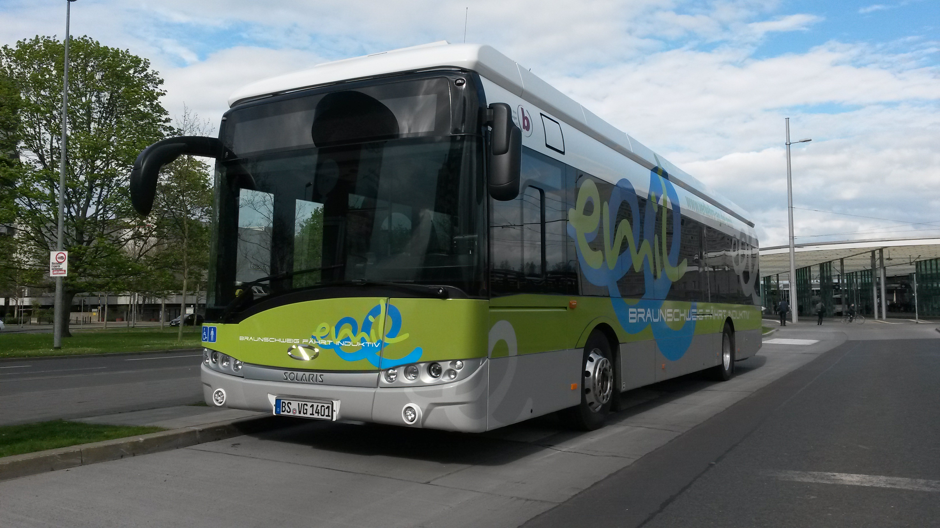
A battery electric bus is an electric bus that is driven by an electric motor and obtains energy from on-board batteries. Many trolleybuses use batteries as an auxiliary or emergency power source. In 2018, the National Renewable Energy Laboratory (NREL) found that total operating costs per mile of an electric bus fleet and a diesel bus fleet in the United States are about equal. History The London Electrobus Company started running the first ever service of battery-electric buses between London's Victoria station and Liverpool Street on 15 July 1907. However, the weight and inefficiency of batteries meant that other propulsion technology - such as electric trolleybuses or diesel buses - became commonplace. The first battery buses were mostly small, mini- or midi- buses. The improvement of battery technology from around 2010 led to the emergence of the battery bus, including heavier units such as standard buses and articulated buses. China was the first country to int ... [...More Info...] [...Related Items...] OR: [Wikipedia] [Google] [Baidu] |
SEPTA Route 75
Route 75 is a trackless trolley route operated by SEPTA in North and Northeast Philadelphia, Pennsylvania, United States. It connects to the Market–Frankford Line at Arrott Transportation Center Station, and runs primarily along Wyoming Avenue. Route 75 connects to the Wyoming (BSL station) local line and goes to Wayne Junction in Nicetown. The route is operated by trolleybuses, locally called trackless trolleys, which replaced streetcars (trolley cars) on the route on April 19, 1948, following one day of temporary bus operation.Wiegand, W. F. (c1976). ''SEPTA routing changes - Numbered routes and High Speed'', Route 75, p. 2. Philadelphia, PA (US): Southeastern Pennsylvania Transportation Authority. No ISBN. As far back as 1922, the President of Philadelphia Rapid Transit recommended converting the route into a feeder route for the Market-Frankford Line.Electric Railway Journal">Frankford Elevated News (1915-1927) at Electric Railway Journal (WorldNYCSubway.org)/ref> The ro ... [...More Info...] [...Related Items...] OR: [Wikipedia] [Google] [Baidu] |
SEPTA Route 66
SEPTA Route 66 is a trackless trolley route in Northeast Philadelphia, Pennsylvania, United States. It connects the Market–Frankford Line at the Frankford Transportation Center to Wissinoming, Mayfair, Holmesburg, and Torresdale along Frankford Avenue, which is US 13 and includes the historic, colonial Frankford Avenue Bridge. The route's eastern terminus is at City Line Loop, located at Frankford Avenue and Knights Road in Morrell Park. However, some weekday trips are truncated to Gregg Loop, located at Gregg Street and Frankford Avenue. Some weekday rush hour service begin/end at Frankford and Cottman Ave in the city's Mayfair neighborhood. The route is operated by trolleybuses, locally called trackless trolleys, replaced streetcars (trolley cars) on September 11, 1955.Springirth, Kenneth C. (2008). ''Southeastern Pennsylvania Trolleys'', pp. 10 and 115–116. Charleston, SC (US): Arcadia Publishing. . The last day of streetcar operation was actually July 30, 1955, but ... [...More Info...] [...Related Items...] OR: [Wikipedia] [Google] [Baidu] |
SEPTA Route 59
Route 59 is a trackless trolley line operated by SEPTA that runs from the Market–Frankford Line at Arrott Transportation Center Station to Bells Corner in Rhawnhurst, primarily along Oxford and Castor Avenues. Major stops along the route include Oxford Circle and the Alma Loop in Castor, which is near a shopping center and a junior high and senior high school. The trackless trolleys (or trolleybuses) replaced trolley cars (streetcars) on the route on in June 25, 1950.Springirth, Kenneth C. (2008). ''Southeastern Pennsylvania Trolleys'', pp. 10 and 115–116. Charleston, SC (US): Arcadia Publishing. . Diesel buses temporarily replaced trackless trolleys on route 59 in June 2002, because of reconstruction of Frankford Depot (garage) and the adjacent Market-Frankford "El" viaduct and station, which required the temporary removal of the overhead trolley wires used by trackless trolleys both at the garage and along the deadhead route (under the El viaduct) connecting rout ... [...More Info...] [...Related Items...] OR: [Wikipedia] [Google] [Baidu] |
Philadelphia ACF-Brill Trolleybus 215 On Route 79 In 1978
Philadelphia, often called Philly, is the largest city in the Commonwealth of Pennsylvania, the sixth-largest city in the U.S., the second-largest city in both the Northeast megalopolis and Mid-Atlantic regions after New York City. Since 1854, the city has been coextensive with Philadelphia County, the most populous county in Pennsylvania and the urban core of the Delaware Valley, the nation's seventh-largest and one of world's largest metropolitan regions, with 6.245 million residents . The city's population at the 2020 census was 1,603,797, and over 56 million people live within of Philadelphia. Philadelphia was founded in 1682 by William Penn, an English Quaker. The city served as capital of the Pennsylvania Colony during the British colonial era and went on to play a historic and vital role as the central meeting place for the nation's founding fathers whose plans and actions in Philadelphia ultimately inspired the American Revolution and the nation's independenc ... [...More Info...] [...Related Items...] OR: [Wikipedia] [Google] [Baidu] |
Americans With Disabilities Act Of 1990
The Americans with Disabilities Act of 1990 or ADA () is a civil rights law that prohibits discrimination based on disability. It affords similar protections against discrimination to Americans with disabilities as the Civil Rights Act of 1964, which made discrimination based on race, religion, sex, national origin, and other characteristics illegal, and later sexual orientation and gender identity. In addition, unlike the Civil Rights Act, the ADA also requires covered employers to provide reasonable accommodations to employees with disabilities, and imposes accessibility requirements on public accommodations. In 1986, the National Council on Disability had recommended the enactment of an Americans with Disabilities Act (ADA) and drafted the first version of the bill which was introduced in the House and Senate in 1988. A broad bipartisan coalition of legislators supported the ADA, while the bill was opposed by business interests (who argued the bill imposed costs on business ... [...More Info...] [...Related Items...] OR: [Wikipedia] [Google] [Baidu] |
SEPTA Route 29
SEPTA Route 29 is a former streetcar and trackless trolley line and current bus route, operated by the Southeastern Pennsylvania Transportation Authority (SEPTA) in South Philadelphia, Pennsylvania, United States. The line runs between the Gray's Ferry neighborhood and the vicinity of Pier 70 along the Delaware River. Route 29 was a streetcar line from its inception in 1913 until 1947, and a trolley bus line until 2003. Route description Unlike the nearby SEPTA Route 79, Route 29 runs primarily along one-way streets. Eastbound buses run primarily along Morris Street, while westbound buses run primarily along Tasker Street. The west end of the Tasker Street segment turns north at 33rd Street, then east at Dickinson Street, then south at 32nd Street before heading east to Morris Street. Recent redevelopment of the Gray's Ferry area has disrupted this pattern. At 25th Street, a viaduct above the two streets is for a former Pennsylvania Railroad rail spur designed to serve neighb ... [...More Info...] [...Related Items...] OR: [Wikipedia] [Google] [Baidu] |
Interstate 95 In Pennsylvania
Interstate 95 (I-95) is a major north-south Interstate highway that runs along the East Coast of the United States from Miami, Florida, north to Houlton, Maine. In the state of Pennsylvania, it runs from the Delaware state line near Marcus Hook in Delaware County northeast to the Delaware River–Turnpike Toll Bridge at the New Jersey state line near Bristol in Bucks County. From the Delaware state line to exit 40, the route is known by many as the Delaware Expressway but is officially named the Vietnam Veterans Memorial Highway. North of exit 40, I-95 follows the easternmost portion of the Pennsylvania Turnpike; this portion of road is not signed as part of the turnpike. I-95 parallels its namesake Delaware River for its entire route through the city of Philadelphia and its suburbs. It is a major route through the city and the metropolitan Delaware Valley, providing access to locally important landmarks such as Subaru Park, Philadelphia International Airport, the South Phi ... [...More Info...] [...Related Items...] OR: [Wikipedia] [Google] [Baidu] |
Front Street (Philadelphia)
Front Street in Philadelphia, Pennsylvania is a north–south street running parallel to and near the Delaware River. In 1682, when the city was laid out by William Penn, it was the first street surveyed and built in the new colony of Pennsylvania. As part of the King's Highway, which extended from Boston to Charleston, South Carolina, and as the waterfront of Philadelphia's port, it was the most important street in the city from its founding into the nineteenth century. Front Street is the origin street of Philadelphia's numbered streets. There is no First Street, Front Street exists in its place, and numbered streets begin at the next major block with Second Street, about one-tenth mile west. At least three stations of SEPTA's Market–Frankford Line are built above Front Street. They include Girard Station, Berks Station, and York–Dauphin Station. SEPTA gives the address of also Spring Garden Station as Front Street, by which pedestrians have access, but its platform lie ... [...More Info...] [...Related Items...] OR: [Wikipedia] [Google] [Baidu] |


