|
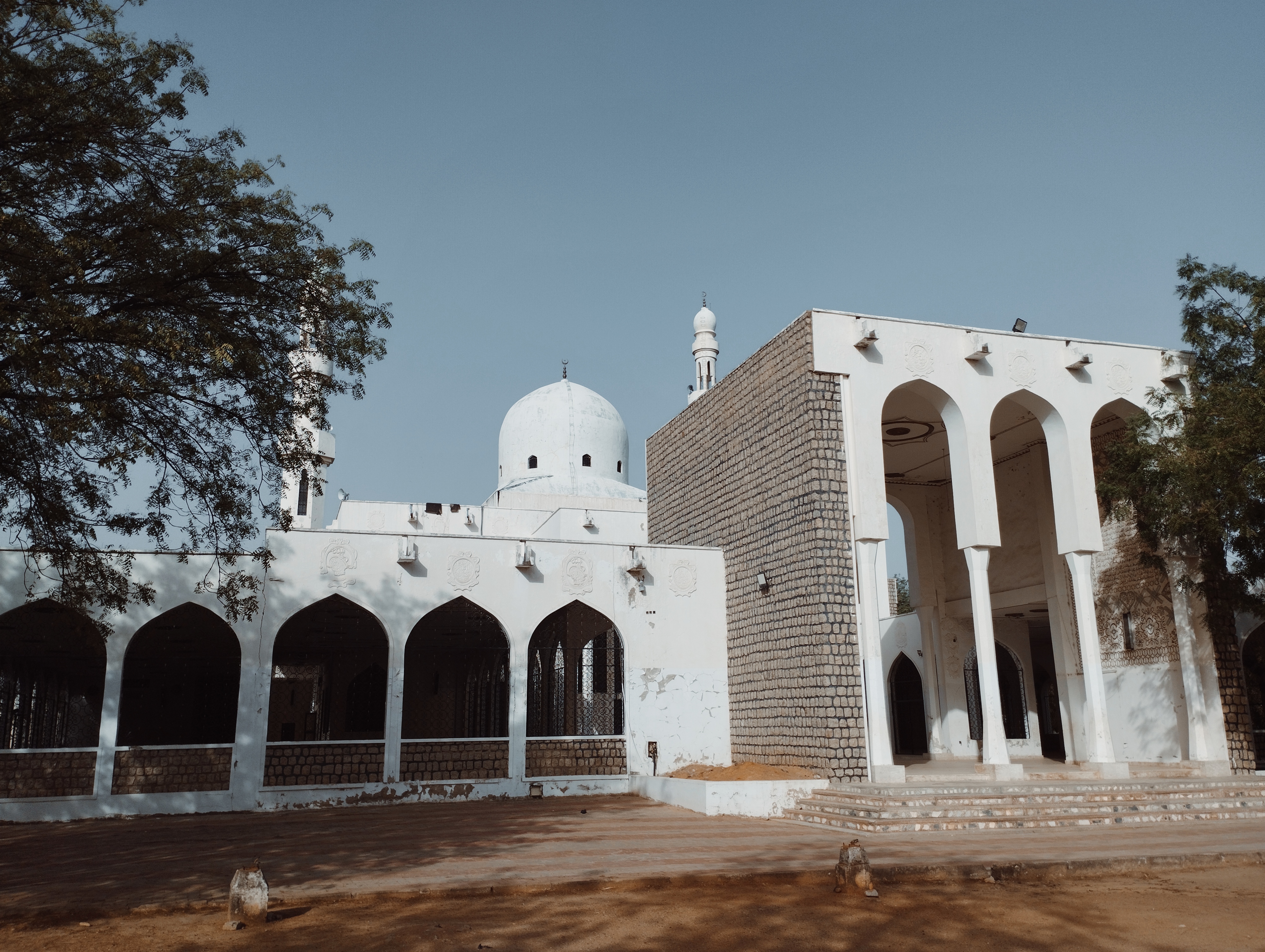
Shinga, Jigawa State
Shinga is a town in Jigawa State of Nigeria. It is part of the Hadejia Local Government Area. It lies at an elevation of 337 meters on the banks of a tributary of the Hadejia River The Hadejia River ( Hausa: ) is a river in Northern Nigeria and is a tributary of the Yobe River (Komadugu Yobe). Among the cities and towns that lie on or near its banks are Hadejia and Nguru. Damming of the river for the purposes of irriga .... Notes Populated places in Jigawa State {{Jigawa-geo-stub ... [...More Info...] [...Related Items...] OR: [Wikipedia] [Google] [Baidu] |
Jigawa State
Jigawa (; 𞤤𞤫𞤴𞤮𞤤 𞤶𞤭𞤺𞤢𞤱𞤢) is a state in Nigeria, located in the northern region of the country. Jigawa was created on 27 August 1991, under the General Ibrahim Babangida military administration. Jigawa State was formerly part of Kano State and was located in the northeastern-most region of Kano State. It forms part of Nigeria's national border with the Republic of Niger. The state capital and largest city is Dutse. Jigawa state has 27 local governments. The eighth largest state by population, residents of Jigawa State are predominantly of Hausa or Fulani background. The vast majority of the residents of Jigawa State are Muslim, and it is one of the twelve states in the country to be governed by Sharia law. Jigawa State is famous for the ''Dutsen Habude'' cave paintings in the town of Birnin Kudu, which have been dated back to the Neolithic period. The town of Hadejia (formerly ''Biram'') is notable as being one of the traditional "seven t ... [...More Info...] [...Related Items...] OR: [Wikipedia] [Google] [Baidu] |
Nigeria
Nigeria, officially the Federal Republic of Nigeria, is a country in West Africa. It is situated between the Sahel to the north and the Gulf of Guinea in the Atlantic Ocean to the south. It covers an area of . With Demographics of Nigeria, a population of more than 230 million, it is the List of African countries by population, most populous country in Africa, and the List of countries and dependencies by population, world's sixth-most populous country. Nigeria borders Niger in Niger–Nigeria border, the north, Chad in Chad–Nigeria border, the northeast, Cameroon in Cameroon–Nigeria border, the east, and Benin in Benin–Nigeria border, the west. Nigeria is a Federation, federal republic comprising 36 States of Nigeria, states and the Federal Capital Territory, Nigeria, Federal Capital Territory, where its capital, Abuja, is located. The List of Nigerian cities by population, largest city in Nigeria by population is Lagos, one of the largest List of largest cities, metr ... [...More Info...] [...Related Items...] OR: [Wikipedia] [Google] [Baidu] |
National Geospatial-Intelligence Agency
The National Geospatial-Intelligence Agency (NGA) is a combat support agency within the United States Department of Defense whose primary mission is collecting, analyzing, and distributing geospatial intelligence (GEOINT) to support national security. Founded in 1996 as the National Imagery and Mapping Agency (NIMA), it changed names in 2003. It is a member of the United States Intelligence Community. NGA headquarters, also known as NGA Campus East or NCE, is located at Fort Belvoir North Area in Springfield, Virginia. At , it is the third-largest government building in the Washington metropolitan area after the Pentagon and the Ronald Reagan Building and International Trade Center, Ronald Reagan Building. The agency also operates NGA Campus West, or NCW, in St. Louis, Missouri, and support and liaison offices worldwide. NGA also helps respond to natural and manmade disasters, helps with security planning for major events such as the Olympic Games, disseminates maritime safety ... [...More Info...] [...Related Items...] OR: [Wikipedia] [Google] [Baidu] |
Hadejia River
The Hadejia River ( Hausa: ) is a river in Northern Nigeria and is a tributary of the Yobe River (Komadugu Yobe). Among the cities and towns that lie on or near its banks are Hadejia and Nguru. Damming of the river for the purposes of irrigation has led to a decrease in the amount of water in the Hadejia-Nguru wetlands, which the river forms along with Nguru Lake. The Hadejia river is now 80% controlled by the Tiga and Challawa Gorge dams in Kano State. Flood The state government started clearing the Hadejia River's canal and preventing water overflows, after the state experienced significant flooding, this work was started to prevent future floods. Flood frequency analysis was performed on the maximum annual streamflow data for the River Hadejia gauge station from the Hadejia Jama'are Komadugu TrustFund, Damaturu, for the years 1963 to 2014. For the analysis, three probability distribution functions—Extreme Value Type 1 (EV-1), Lognormal, and Log Pearson Type I ... [...More Info...] [...Related Items...] OR: [Wikipedia] [Google] [Baidu] |


