|
San Pedro Valley
The San Pedro Valley starts 10 miles (16 km) south of the United States–Mexico border and extends 140 miles (230 km) north through Arizona. The San Pedro River flows from the state of Sonora, Mexico, through Cochise, Pima, Graham, and Pinal Counties to Winkelman, Arizona. In popular culture The 2024 movie Horizon: An American Saga – Chapter 1 takes place in the San Pedro Valley. See also * San Pedro River (Arizona) Valley * San Pedro Valley Railroad * Tres Alamos, Arizona Tres Alamos is a ghost town in Cochise County in the U.S. state of Arizona Arizona is a U.S. state, state in the Southwestern United States, Southwestern region of the United States, sharing the Four Corners region of the western Uni ... References {{Authority control Landforms of Cochise County, Arizona Landforms of Sonora Valleys of Arizona Valleys of Mexico ... [...More Info...] [...Related Items...] OR: [Wikipedia] [Google] [Baidu] |
Tombstone, Arizona
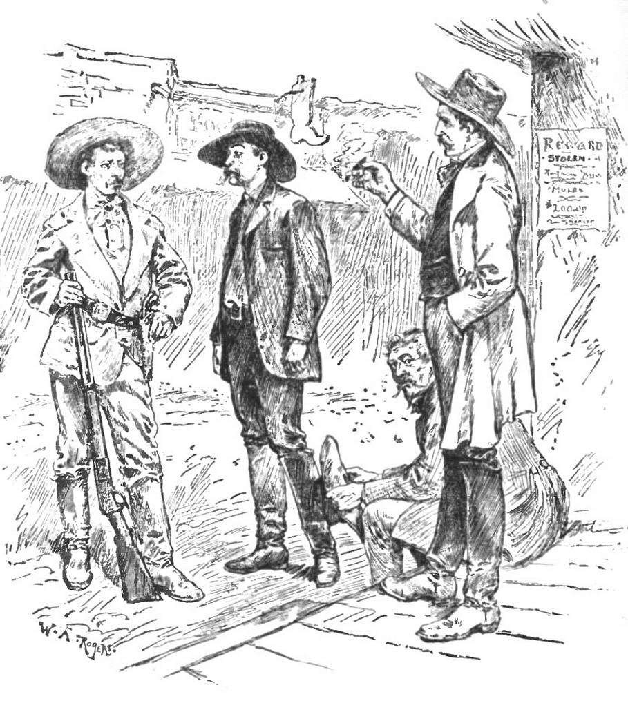
Tombstone is a city in Cochise County, Arizona, Cochise County, Arizona, United States, founded in 1879 by Prospecting, prospector Ed Schieffelin in what was then Pima County, Arizona, Pima County, Arizona Territory. It became one of the last boomtowns in the American frontier. The town grew significantly into the mid-1880s as the local Silver mining, mines produced $40 to $85 million in silver bullion, the largest productive silver district in Arizona. Its population grew from 100 to around 14,000 in less than seven years. It is best known as the site of the Gunfight at the O.K. Corral and draws most of its revenue from tourism. The city had a permanent population of 1,308, according to the 2020 United States census, 2020 census. History The town was established on Goose Flats, a mesa above the Goodenough Mine. Within two years of its founding, although far distant from any other metropolitan area, Tombstone had a bowling alley, four churches, an Ice house (building), ice hous ... [...More Info...] [...Related Items...] OR: [Wikipedia] [Google] [Baidu] |
Mule Mountains
The Mule Mountains are a north/south running mountain range located in the south-central area of Cochise County, Arizona. The highest peak, Mount Ballard, rises to . Prior to mining operations commencing there, the mountains were heavily forested with large Rocky Mountain Douglas-fir (''Pseudotsuga menziesii glauca'') and other conifers, but these were all cut down for housing needs and to feed the ore smelting furnaces in Douglas, Arizona, approximately 20 miles due east. Now, the primary vegetation of the Mules consists of manzanita (''Arctostaphylos'' spp.) brush, juniper, lowland oaks and pines, and various grasses. To the east of the mountain range lies Sulphur Springs Valley, and the San Pedro River and Valley to the west. The terrain is very rough, with very steep slopes descending into deep canyons. Common wildlife species include desert mule deer (''Odocoileus hemionus eremicus''), Coues' White-tailed deer (''O. virginianus couesi''), Collared Peccary ... [...More Info...] [...Related Items...] OR: [Wikipedia] [Google] [Baidu] |
Landforms Of Sonora
A landform is a land feature on the solid surface of the Earth or other planetary body. They may be natural or may be anthropogenic (caused or influenced by human activity). Landforms together make up a given terrain, and their arrangement in the landscape is known as topography. Landforms include hills, mountains, canyons, and valleys, as well as shoreline features such as bays, peninsulas, and seas, including submerged features such as mid-ocean ridges, volcanoes, and the great oceanic basins. Physical characteristics Landforms are categorized by characteristic physical attributes such as elevation, slope, orientation, structure stratification, rock exposure, and soil type. Gross physical features or landforms include intuitive elements such as berms, cliffs, hills, mounds, peninsulas, ridges, rivers, valleys, volcanoes, and numerous other structural and size-scaled (e.g. ponds vs. lakes, hills vs. mountains) elements including various kinds of inland and oceani ... [...More Info...] [...Related Items...] OR: [Wikipedia] [Google] [Baidu] |
San Pedro Valley (Arizona)
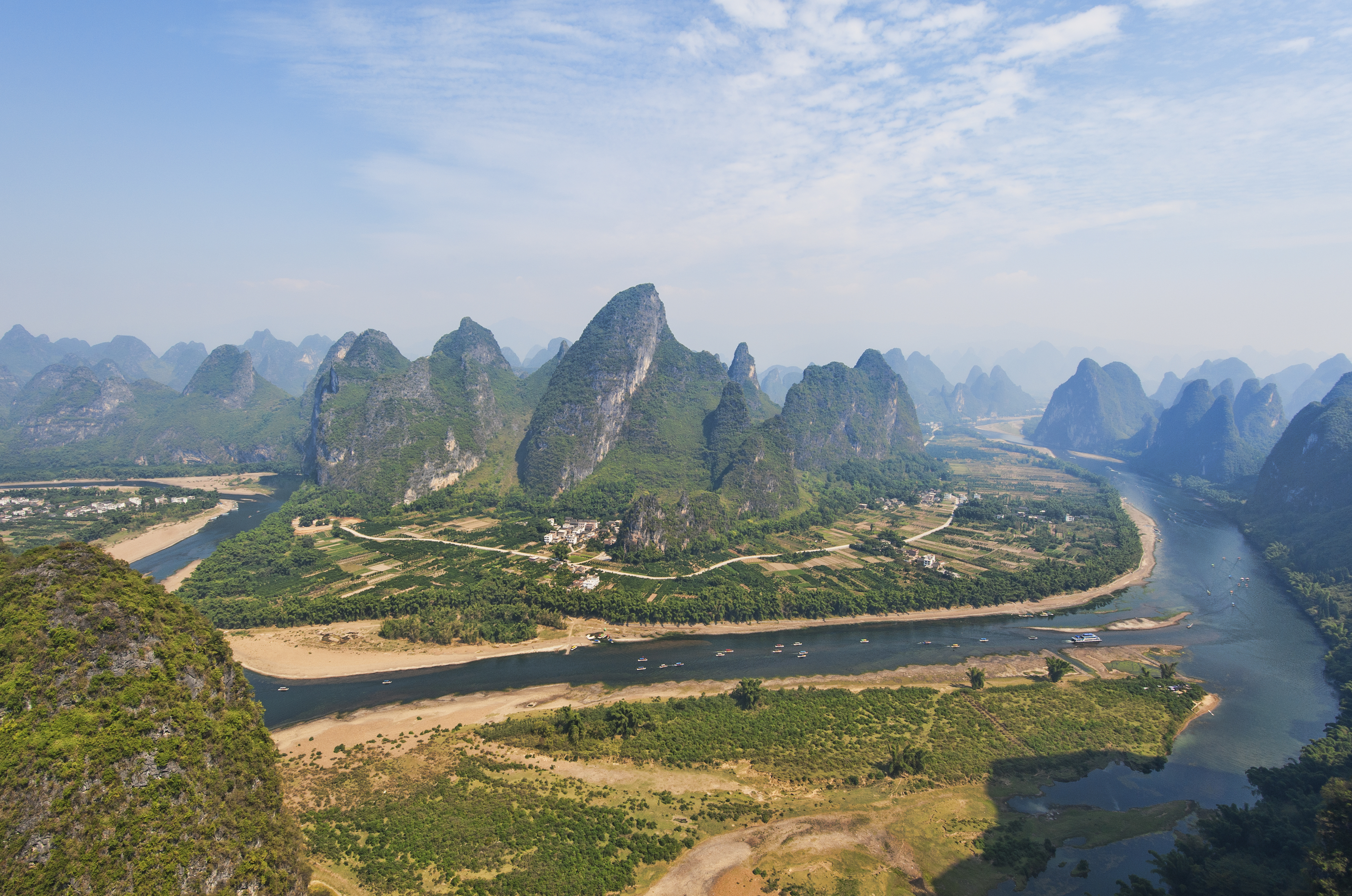
The San Pedro Valley starts 10 miles (16 km) south of the United States–Mexico border and extends 140 miles (230 km) north through Arizona. The San Pedro River (Arizona), San Pedro River flows from the state of Sonora, Mexico, through Cochise, Pima, Graham, and Pinal Counties to Winkelman, Arizona. In popular culture The 2024 movie Horizon: An American Saga – Chapter 1 takes place in the San Pedro Valley. See also * San Pedro River (Arizona) Valley * San Pedro Valley Railroad * Tres Alamos, Arizona References {{Authority control Landforms of Cochise County, Arizona San Pedro Valley (Arizona), Landforms of Sonora Valleys of Arizona Valleys of Mexico ... [...More Info...] [...Related Items...] OR: [Wikipedia] [Google] [Baidu] |
Landforms Of Cochise County, Arizona
A landform is a land feature on the solid surface of the Earth or other planetary body. They may be natural or may be anthropogenic (caused or influenced by human activity). Landforms together make up a given terrain, and their arrangement in the landscape is known as topography. Landforms include hills, mountains, canyons, and valleys, as well as shoreline features such as bays, peninsulas, and seas, including submerged features such as mid-ocean ridges, volcanoes, and the great oceanic basins. Physical characteristics Landforms are categorized by characteristic physical attributes such as elevation, slope, orientation, structure stratification, rock exposure, and soil type. Gross physical features or landforms include intuitive elements such as berms, cliffs, hills, mounds, peninsulas, ridges, rivers, valleys, volcanoes, and numerous other structural and size-scaled (e.g. ponds vs. lakes, hills vs. mountains) elements including various kinds of inland and oceani ... [...More Info...] [...Related Items...] OR: [Wikipedia] [Google] [Baidu] |
Tres Alamos, Arizona
Tres Alamos is a ghost town in Cochise County in the U.S. state of Arizona Arizona is a U.S. state, state in the Southwestern United States, Southwestern region of the United States, sharing the Four Corners region of the western United States with Colorado, New Mexico, and Utah. It also borders Nevada to the nort .... The town was settled in 1874 in what was then the Arizona Territory. History In 1768, Spanish soldiers from the Presidio de Tucson farmed the area along the San Pedro River to supply food for the Presidio. Later, in 1830, Mexican farmers settled in the area, establishing more permanent farming operations and transporting their produce through the Redington Pass to Tucson with the protection of soldiers from the Presidio. In 1860, the Soza family settled in the area and operated a prosperous cattle ranch. As other Mexicans immigrated from the south the community grew with the building of an adobe chapel called ''La Capilla de San Antonio de Padua de L ... [...More Info...] [...Related Items...] OR: [Wikipedia] [Google] [Baidu] |
San Pedro Valley Railroad
The San Pedro Valley Railroad , formerly the San Pedro & Southwestern Railroad, is an Arizona shortline railroad, currently operating from a connection with the Union Pacific Railroad The Union Pacific Railroad is a Railroad classes, Class I freight-hauling railroad that operates 8,300 locomotives over routes in 23 U.S. states west of Chicago and New Orleans. Union Pacific is the second largest railroad in the United Stat ... (UP) at Benson, Arizona, seven miles to Curtiss, Arizona west of St. David. The SPSR formerly ran a total of , with main track from Benson to Paul Spur, a location about west of Douglas, as well as the Bisbee Branch which ran to Bisbee, Arizona. The SPSR is owned by Ironhorse Resources. The SPSR commenced operations in November 2003 after David Parkinson acquired the San Pedro and Southwestern ''Railway'' from RailAmerica in 2003 with "the intent of restoring transborder rail service with the Mexican rail system at Naco, Arizona, and de ... [...More Info...] [...Related Items...] OR: [Wikipedia] [Google] [Baidu] |
United States–Mexico Border
United may refer to: Places * United, Pennsylvania, an unincorporated community * United, West Virginia, an unincorporated community Arts and entertainment Films * ''United'' (2003 film), a Norwegian film * ''United'' (2011 film), a BBC Two film * ''The United'' (film), an unreleased Arabic-language film Literature * ''United!'' (novel), a 1973 children's novel by Michael Hardcastle Music * United (band), Japanese thrash metal band formed in 1981 Albums * ''United'' (Commodores album), 1986 * ''United'' (Dream Evil album), 2006 * ''United'' (Marvin Gaye and Tammi Terrell album), 1967 * ''United'' (Marian Gold album), 1996 * ''United'' (Phoenix album), 2000 * ''United'' (Woody Shaw album), 1981 Songs * "United" (Judas Priest song), 1980 * "United" (Prince Ital Joe and Marky Mark song), 1994 * "United" (Robbie Williams song), 2000 * "United", a song by Danish duo Nik & Jay featuring Lisa Rowe * "United (Who We Are)", a song by XO-IQ, featured in the television se ... [...More Info...] [...Related Items...] OR: [Wikipedia] [Google] [Baidu] |
San Pedro River (Arizona)
The San Pedro River is a northward-flowing stream originating about south of the international border south of Sierra Vista, Arizona, in Cananea Municipality, Sonora, Mexico. The river starts at the confluence of other streams (Las Nutrias and El Sauz) just east of Sauceda, Cananea. Within Arizona, the river flows north through Cochise County, Arizona, Cochise County, Pima County, Arizona, Pima County, Graham County, Arizona, Graham County, and Pinal County, Arizona, Pinal County to its confluence with the Gila River, at Winkelman, Arizona. It is the last major undammed desert river in the Southwestern United States, American Southwest, and it is of major ecological importance as it hosts two-thirds of the avian diversity in the United States, including 100 species of breeding birds and almost 300 species of migrating birds. History The first people to enter the San Pedro Valley were the Clovis people who hunted mammoth here from 10,000 years ago. The San Pedro Valley has the ... [...More Info...] [...Related Items...] OR: [Wikipedia] [Google] [Baidu] |
Little Dragoon Mountains
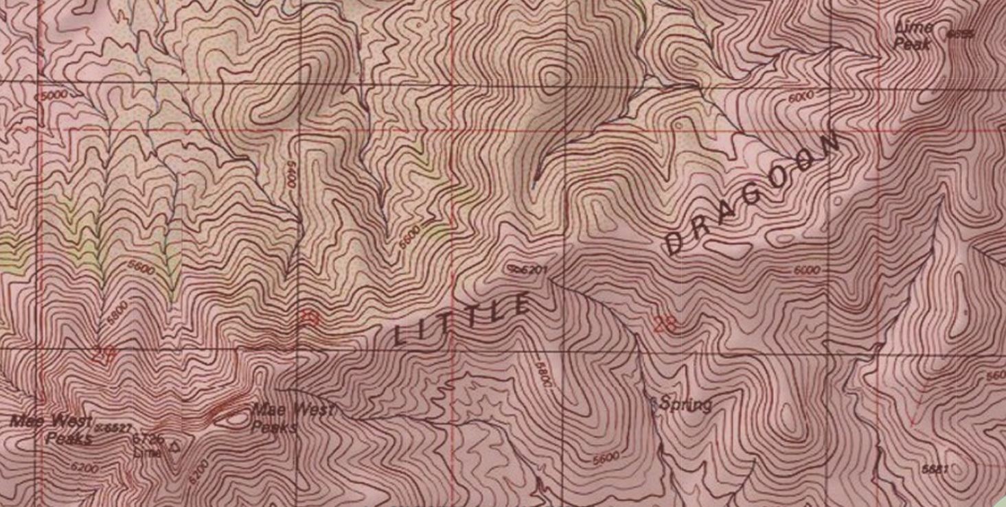
The Little Dragoon Mountains, are included in the Douglas Ranger District of Coronado National Forest, in Cochise County, Arizona. The summit of the range is the center peak of the three Mae West Peaks, 6 miles northwest of Dragoon, Arizona. The center peak, known as Lime has a peak elevation of . Lime Peak is a named peak along the ridgeline approximately 2.5 miles to the northeast which has a peak elevation of .''Dragoon, AZ,'' 7.5 Minute Topographic Quadrangle, USGS, 1985 Interstate 10 passes through the Texas Canyon area approximately three miles to the southeast of the Little Dragoon ridgeline. See also * Dragoon Mountains References {{coord, 32, 06, 00, N, 110, 07, 20, W, display=title Mountain ranges of Cochise County, Arizona Coronado National Forest Mountain ranges of Arizona ... [...More Info...] [...Related Items...] OR: [Wikipedia] [Google] [Baidu] |
Dragoon Mountains
The Dragoon Mountains is a range of mountains located in Cochise County, Arizona. The range is about long, running on an axis extending south-south east through Willcox. The name originates from the 3rd U.S. Cavalry Dragoons who battled the Chiricahua, including Cochise, during the Apache Wars. The Dragoons established posts around 1856 after the Gadsden Purchase made it a U.S. territory. History Fossilized horn coral has been discovered on exposed limestone rock. Ancient pictographs and matate dating to AD 1200 exist in the area and are attributed to the Mogollon people. The Apache people resided in this area beginning in the 15th century. The warrior Cochise and his army defeated a small force of Confederate soldiers here at the First Battle of Dragoon Springs but was defeated at the Second Battle of Dragoon Springs a few days later. Cochise Stronghold Memorial Park lies near Mount Glenn on the eastern slope of the range and the historic town of Tombstone can b ... [...More Info...] [...Related Items...] OR: [Wikipedia] [Google] [Baidu] |


