|
Rowsley
Rowsley () is a village on the A6 road in the English county of Derbyshire. The population as at the 2011 census was 507. It is at the point where the River Wye flows into the River Derwent and prospered from mills on both. The border of the Peak District National Park runs through the village west of the River Wye and immediately to the north of Chatsworth Road. The Peak District Boundary Walk goes through the village. Overview Notable features are the bridge over the River Derwent, St Katherine's Church, Rowsley and the Grade-II*-listed Peacock hotel, originally built in 1652 as a manor house by John Stevenson, agent to Lady Manners, whose family crest bearing a peacock gives it its name. Both Longfellow and Landseer are said to have stayed there. Nearby is Chatsworth House, home of the Duke and Duchess of Devonshire. It was the site of an extensive motive power depot and marshalling yard, the first being built by the Manchester, Buxton, Matlock and Midlands Junction Rai ... [...More Info...] [...Related Items...] OR: [Wikipedia] [Google] [Baidu] |
Listed Buildings In Rowsley
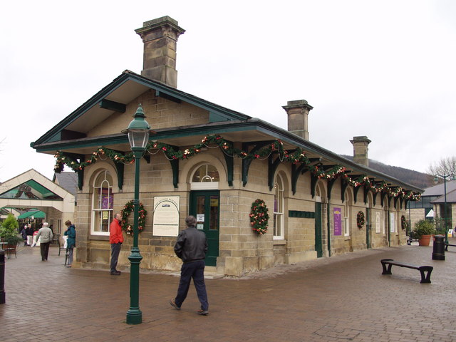
Rowsley is a civil parish in the Derbyshire Dales district of Derbyshire, England. The parish contains 22 listed buildings that are recorded in the National Heritage List for England. Of these, three are listed at Grade II*, the middle of the three grades, and the others are at Grade II, the lowest grade. The parish contains the village of Rowsley and the surrounding area. All the listed buildings are in the village, and include houses and cottages, a church and associated structures, a road bridge, a railway viaduct, embankment and bridge, a hotel and its former stables, a former toll house, a school, a drinking fountain A drinking fountain, also called a water fountain or water bubbler, is a fountain designed to provide drinking water. It consists of a basin with either continuously running water or a tap. The drinker bends down to the stream of water and s ..., a former railway station, a lamp standard, a water-powered flour mill, and a war memorial. Key Buildin ... [...More Info...] [...Related Items...] OR: [Wikipedia] [Google] [Baidu] |
Peak Rail
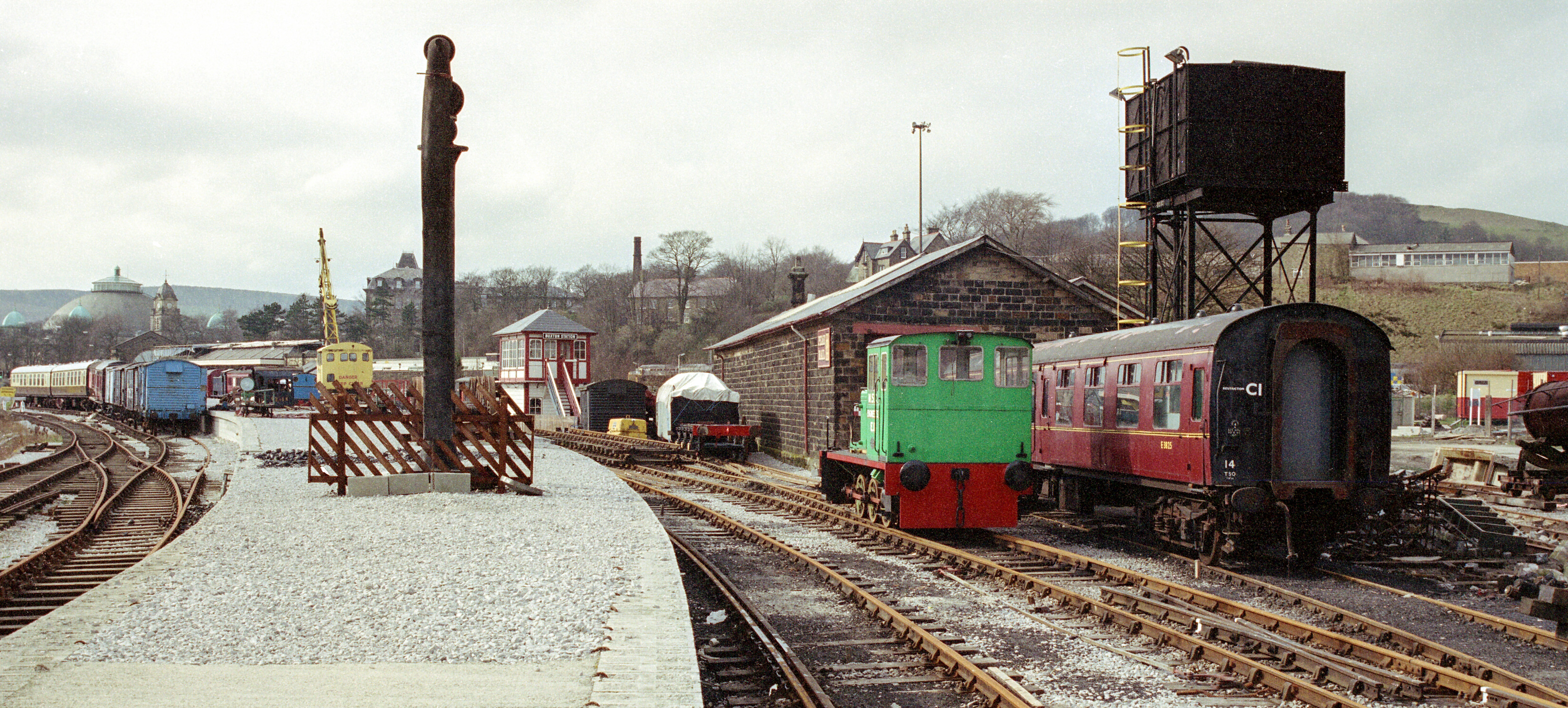
Peak Rail is a preserved railway in Derbyshire, England, which operates a steam and heritage diesel service for tourists and visitors to both the Peak District and the Derbyshire Dales. The preserved railway line is over 3½ miles (5.6 km) in length and, , operates train services from Matlock station (shared with Derwent Valley Line services from Derby via Ambergate) via the site of Matlock Riverside and Darley Dale to Rowsley South. Peak Rail intends to extend its operational services northward to when resources allow, extending to a total of 4¼ miles (6.8 km). Beyond Bakewell, the railway trackbed is used by the Monsal Trail. __TOC__ History First preservation attempts with the Buxton Steam Centre In 1975, the Peak Railway Preservation Society was established and opened a site at the now-closed Buxton Steam Centre with restoration facilities and a 300-yard operating line. Proposals were put forward to extend the operating line onto the singl ... [...More Info...] [...Related Items...] OR: [Wikipedia] [Google] [Baidu] |
Rowsley Railway Station
The original Rowsley railway station was opened in 1849 by the Manchester, Buxton, Matlock and Midlands Junction Railway to serve the village of Rowsley in Derbyshire. Opening The original plan for the line was to meet the proposed Ambergate, Nottingham, Boston and Eastern Junction Railway at Ambergate to provide a route from Manchester to the East Coast. The Midland Railway bought shares in the line as it saw an opportunity to run through trains to London. The Manchester and Birmingham Railway, which would provide access from Stockport to Manchester over its own line, supported the project for the same reason. However, in 1846 it merged into the new London and North Western Railway which was opposed to any competition into London. The station, nonetheless, had a busy trade with some sixty or seventy thousand visitors to Chatsworth House each year. The stalemate lasted until 1862 when the Midland realigned the track and moved to a new station as it extended the line into Bu ... [...More Info...] [...Related Items...] OR: [Wikipedia] [Google] [Baidu] |
Rowsley South Railway Station
Rowsley South railway station lies approximately a mile short of Rowsley village, the location of the settlement's previous stations. This makes Rowsley South the third station to be built in the area, constructed as it was by Peak Rail volunteers in the latter part of the 1990s. Opened to passenger services in 1997, the station was for a time referred to as 'Northwood', which is the part of Rowsley settlement that is near to the terminus. This association can still be observed through the name of the café that stands on the station, which is known as the Northwood Buffet. History The initial station in Rowsley was opened in 1849 and formed a terminus for the Manchester, Buxton, Matlock and Midlands Junction Railway line from Ambergate. That location became a goods yard in 1862, serving a new station built at that time, which lay on a through deviation. The latter took the line over the present day A6 road and the River Derwent, then into the Duke of Rutland's estate and ... [...More Info...] [...Related Items...] OR: [Wikipedia] [Google] [Baidu] |
Manchester, Buxton, Matlock And Midlands Junction Railway
The Manchester, Buxton, Matlock and Midland Junction Railway ran from a junction with the Midland Railway at Ambergate to Rowsley north of Matlock and thence to Buxton. In time it would become part of the Midland Railway's main line between London and Manchester, but it was initially planned as a route from Manchester to the East of England, via the proposed Ambergate, Nottingham, Boston and Eastern Junction Railway which would meet it a little further north along the North Midland line at Ambergate. The Act for a line from just south of Stockport to Ambergate was passed in 1846. Currently, the section north of Millers Dale is open as the Great Rocks freight line, Derby to Matlock still holds passenger services as the Derwent Valley line, Matlock to Rowsley is the Peak Rail heritage line, and Rowsley to Buxton has become the Monsal Trail for cycling, horse riding and walking. Ambergate to Rowsley The initial plan was for "An Act for making a Railway from the Manchester an ... [...More Info...] [...Related Items...] OR: [Wikipedia] [Google] [Baidu] |
St Katherine's Church, Rowsley
St Katherine's Church, Rowsley is a Grade II listed parish church in the Church of England in Rowsley, Derbyshire. History The foundation stone was laid on 29 May 1854 by John Manners, 7th Duke of Rutland, who laid coins of every value, from a sovereign to half a farthing, in the foundations. The church was built to the designs of the architect Anthony Salvin. It was dedicated to St Catherine, after the name and in honour of the late Lady Manners. The church was consecrated by the Bishop of Lichfield on 18 July 1855. In 1862 a mortuary chapel was erected to contain a monument erected to the late Lady John Manners, the first wife of John Manners, 7th Duke of Rutland. The figures were carved of white statuary, the columns of russet marble, and the other portions of Darley Dale stone. It was executed under the superintendence of Anthony Salvin, the figure executed by William Calder Marshall, and the sculpture and architectural part of the monument by J. Forsyth of Hemsptead Road, L ... [...More Info...] [...Related Items...] OR: [Wikipedia] [Google] [Baidu] |
Bakewell Railway Station
Bakewell railway station was a railway station built to serve the town of Bakewell in Derbyshire, England, by the Midland Railway on its extension of the Manchester, Buxton, Matlock and Midland Junction Railway line from Rowsley to Buxton. History The station was opened by the Midland Railway on 1 August 1862. Being the nearest station to Haddon Hall, it was built in a grand style as the local station for the Duke of Rutland over whose land the line had passed. Designed by Edward Walters of Manchester, the buildings were of fine ashlar with intricate carvings which incorporated the duke's coat of arms. Since the line was climbing steeply towards its summit at Peak Forest, the station was located uphill about half a mile from the town, which became a disadvantage when road transport developed. The busiest time was during the Bakewell Show but the station was also popular with campers and tourists. The station was host to an LMS caravan from 1935 to 1939. A camping coach ... [...More Info...] [...Related Items...] OR: [Wikipedia] [Google] [Baidu] |
Bakewell
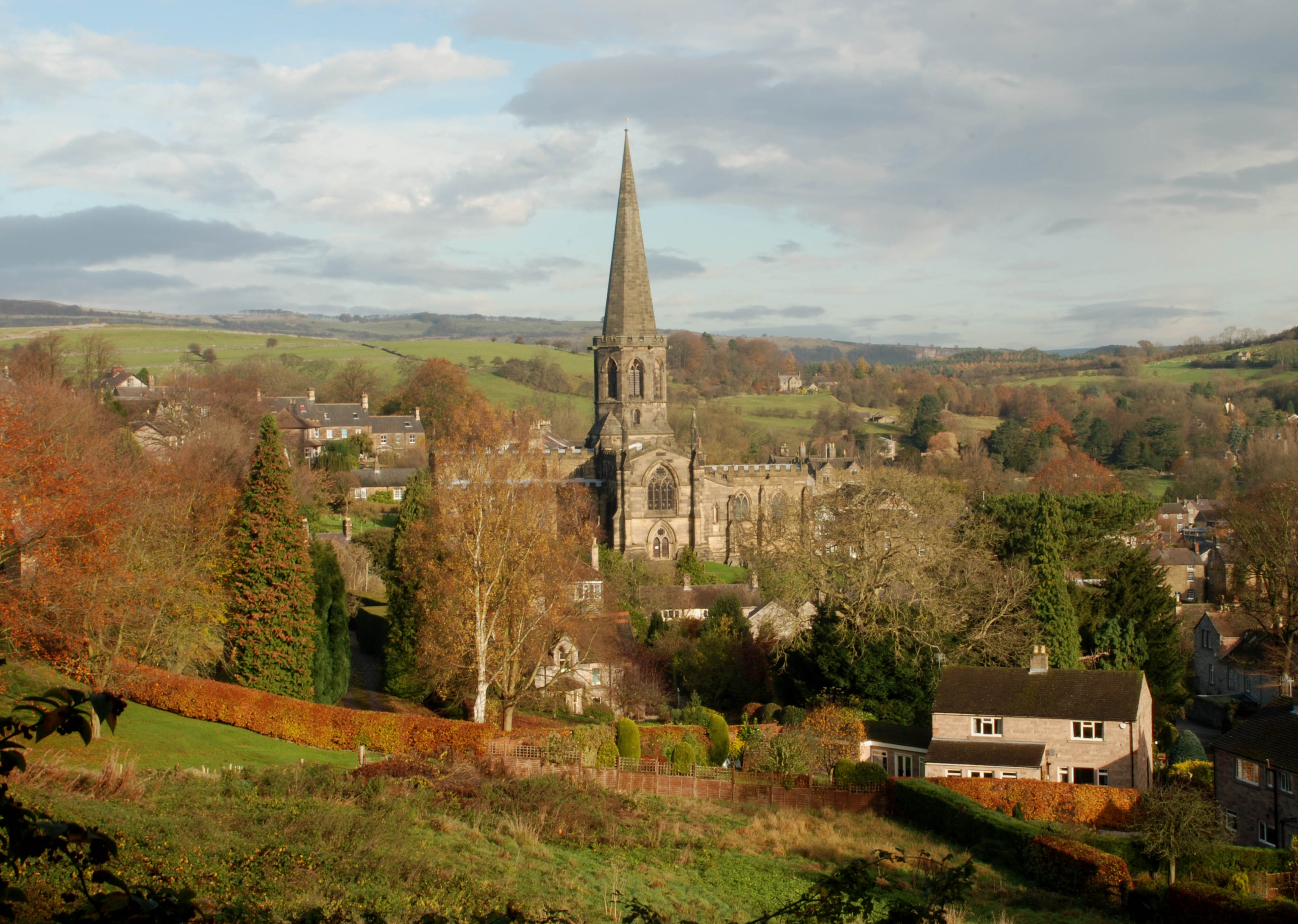
Bakewell is a market town and civil parish in the Derbyshire Dales district of Derbyshire, England, known also for its local Bakewell pudding. It lies on the River Wye, about 13 miles (21 km) south-west of Sheffield. In the 2011 census, the population of the civil parish appeared as 3,949. It was estimated at 3,695 in 2019. The town is close to the tourist attractions of Chatsworth House and Haddon Hall. History Although there is evidence of earlier settlement in the area, Bakewell itself was probably founded in Anglo-Saxon times in the Anglian kingdom of Mercia. The name Bakewell means a spring or stream of a woman named Badeca or Beadeca, so deriving from a personal name with the Old English suffix ''wella''. In 949 it was called Badecanwelle and in the 1086 Domesday Book ''Badequelle''. The Domesday book listing stated that King Edward held land here; the settlement had a church and a mill. These are the outlying estates or berewicks of the manor: Haddon addon or Over ... [...More Info...] [...Related Items...] OR: [Wikipedia] [Google] [Baidu] |
River Derwent, Derbyshire
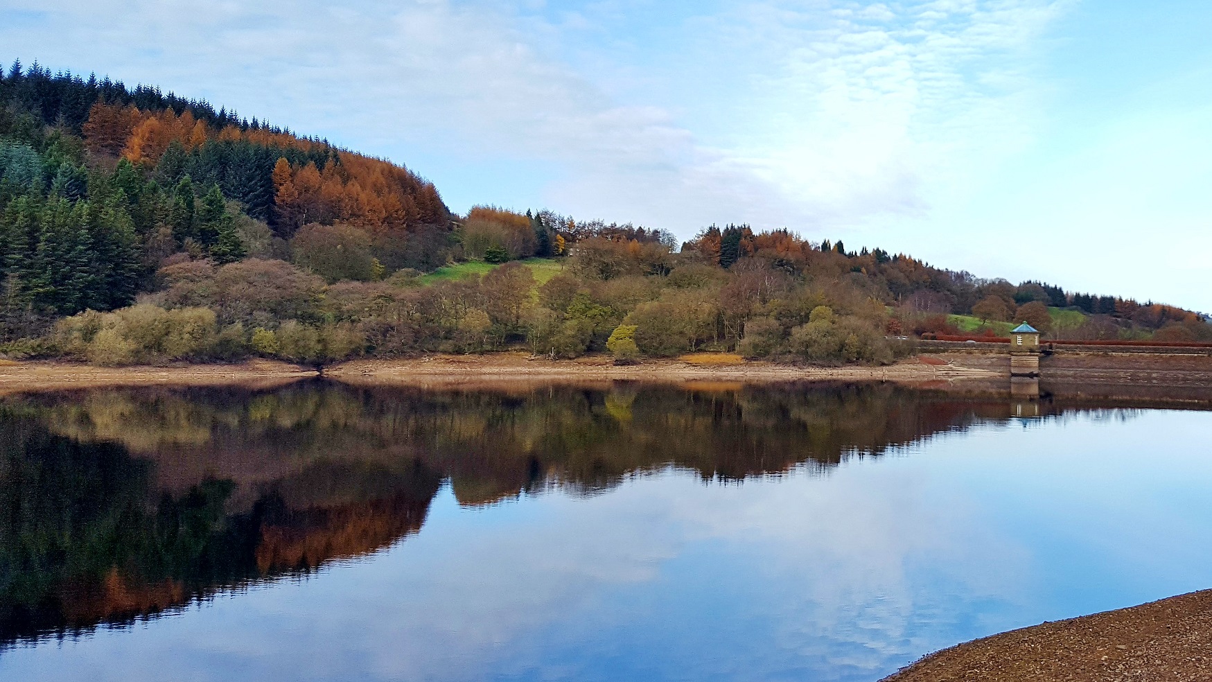
The Derwent is a river in Derbyshire, England. It is long and is a tributary of the River Trent, which it joins south of Derby. Throughout its course, the river mostly flows through the Peak District and its foothills. Much of the river's route, with the exception of the city of Derby, is rural. However, the river has also seen many human uses, and between Matlock and Derby was one of the cradles of the Industrial Revolution. It is the site of the Derwent Valley Mills, the first industrial-scale cotton mills. Today it provides a water supply to several surrounding cities, and its steep-sided valley is an important communications corridor through the uplands of the Peak District. The scenery of the Derwent valley attracts many tourists. The upper reaches pass through the Peak District National Park, whilst the middle reaches around the old spa town of Matlock Bath offer souvenir shops and amusement arcades, together with attractions such as the Heights of Abraham and ... [...More Info...] [...Related Items...] OR: [Wikipedia] [Google] [Baidu] |
River Wye, Derbyshire
The River Wye is a limestone river in the Peak District of Derbyshire, England. It is 22 miles long (widely but incorrectly attributed as 15 miles/24 km, which refers to the section within the National Park), and is one of the major tributaries of the River Derwent, which flows into the River Trent, and ultimately into the Humber and the North Sea. The river rises just west of Buxton, on Axe Edge Moor. Part of the flow passes underground through Poole's Cavern before rising at Wye Head, and flowing through the Pavilion Gardens in Buxton. It then flows east through the dales of the Wye Valley, along a route roughly followed by the A6 road. It enters the Peak District, flows just south of Tideswell, then through Ashford in the Water and Bakewell, and south of Haddon Hall, before meeting the River Derwent at Rowsley. The main tributary of the river is the River Lathkill, which enters approximately one mile from its mouth. The River Wye is one of Derbyshire's best-kn ... [...More Info...] [...Related Items...] OR: [Wikipedia] [Google] [Baidu] |
Peak District Boundary Walk
The Peak District Boundary Walk is a circular walking trail, starting and finishing at Buxton and broadly following the boundary of the Peak District, Britain's first national park. The route was developed by the Friends of the Peak District (a branch of the Campaign to Protect Rural England) and was launched on 17 June 2017. The Friends of the Peak District's founders, Gerald and Ethel Haythornthwaite, proposed the boundary of the Peak District National Park, which was subsequently established as the United Kingdom's first National Park in 1951. The route is waymarked with green markers and uses existing footpaths, tracks, quiet lanes, disused railway lines and a canal towpath. The start and finish is at the King's Head pub on Buxton Market Place, where a plaque has been installed by the Peak & Northern Footpaths Society (PNFS). The terrain covers open moorlands of the South Pennines, the limestone scenery of the Derbyshire Dales, woodlands, reservoirs and rural farming ... [...More Info...] [...Related Items...] OR: [Wikipedia] [Google] [Baidu] |
John Joseph Briggs
John Joseph Briggs (6 March 1819 – 23 March 1876), naturalist and topographer, was born in the village of Kings Newton (or King's Newton), Derbyshire on 6 March 1819. His father, John Briggs, who married his cousin, Mary Briggs, was born and resided for 88 years on the same farm, at Kings Newton, which had been the freehold of his ancestors for three centuries. Education In 1828, John went to the boarding school of Thomas Rossell Potter, the historian of Charnwood Forest at Wymeswold in Leicestershire, and in 1833 to the Rev. Solomon Saxon, of Darley Dale. He was apprenticed to Mr. Bemrose, the head of the printing firm of William Bemrose & Sons, Derby, but ill-health compelled him to give up his indoor occupation, and continue his ancestors' occupation of farming at Elms Farm in Kings Newton. [...More Info...] [...Related Items...] OR: [Wikipedia] [Google] [Baidu] |


