|
Route 32 (Virginia)
State Route 32 (SR 32) is a primary state highway in the U.S. state of Virginia. The state highway runs from the North Carolina state line in Suffolk north to U.S. Route 17 (US 17), US 258, and SR 143 in Newport News. The southernmost part of SR 32 connects Suffolk with the Albemarle Region of North Carolina via North Carolina Highway 32 (NC 32). The remainder of SR 32 runs concurrently with at least one other state or U.S. Highway between Suffolk and Newport News, including US 13, SR 10, US 258, and US 17. The last two highways run together with SR 32 on the James River Bridge. Route description SR 32 begins at the North Carolina state line in a rural portion of the city of Suffolk. The border crossing, from which the highway continues south as NC 32 (Virginia Road), is a short distance west of Great Dismal Swamp National Wildlife Refuge and much closer to the North Carolina community of Corapeake than the developed portion of Suffolk. SR 32 heads north as two-lane ... [...More Info...] [...Related Items...] OR: [Wikipedia] [Google] [Baidu] |
Suffolk, Virginia
Suffolk is an independent city in the Commonwealth of Virginia, and as such has no county. As of the 2020 census, the population was 94,324. It is the 9th most populous city in Virginia and the largest city in Virginia by boundary land area as well as the 14th largest in the country. Suffolk is located in the Hampton Roads metropolitan area. This also includes the independent cities of Chesapeake, Hampton, Newport News, Norfolk, Portsmouth, and Virginia Beach, and smaller cities, counties, and towns of Hampton Roads. With miles of waterfront property on the Nansemond and James rivers, present-day Suffolk was formed in 1974 after consolidating with Nansemond County and the towns of Holland and Whaleyville. The current mayor (as of 2021) is Mike Duman. History Prior to colonization, the region was inhabited by the indigenous Nansemond people. The settlement of Suffolk was established in 1742 by Virginian colonists as a port town on the Nansemond River. It was origi ... [...More Info...] [...Related Items...] OR: [Wikipedia] [Google] [Baidu] |
Divided Highway
A dual carriageway ( BE) or divided highway ( AE) is a class of highway with carriageways for traffic travelling in opposite directions separated by a central reservation (BrE) or median (AmE). Roads with two or more carriageways which are designed to higher standards with controlled access are generally classed as motorways, freeways, etc., rather than dual carriageways. A road without a central reservation is a single carriageway regardless of the number of lanes. Dual carriageways have improved road traffic safety over single carriageways and typically have higher speed limits as a result. In some places, express lanes and local/collector lanes are used within a local-express-lane system to provide more capacity and to smooth traffic flows for longer-distance travel. History A very early (perhaps the first) example of a dual carriageway was the '' Via Portuensis'', built in the first century by the Roman emperor Claudius between Rome and its port Ostia at the mouth o ... [...More Info...] [...Related Items...] OR: [Wikipedia] [Google] [Baidu] |
Yorktown, Virginia
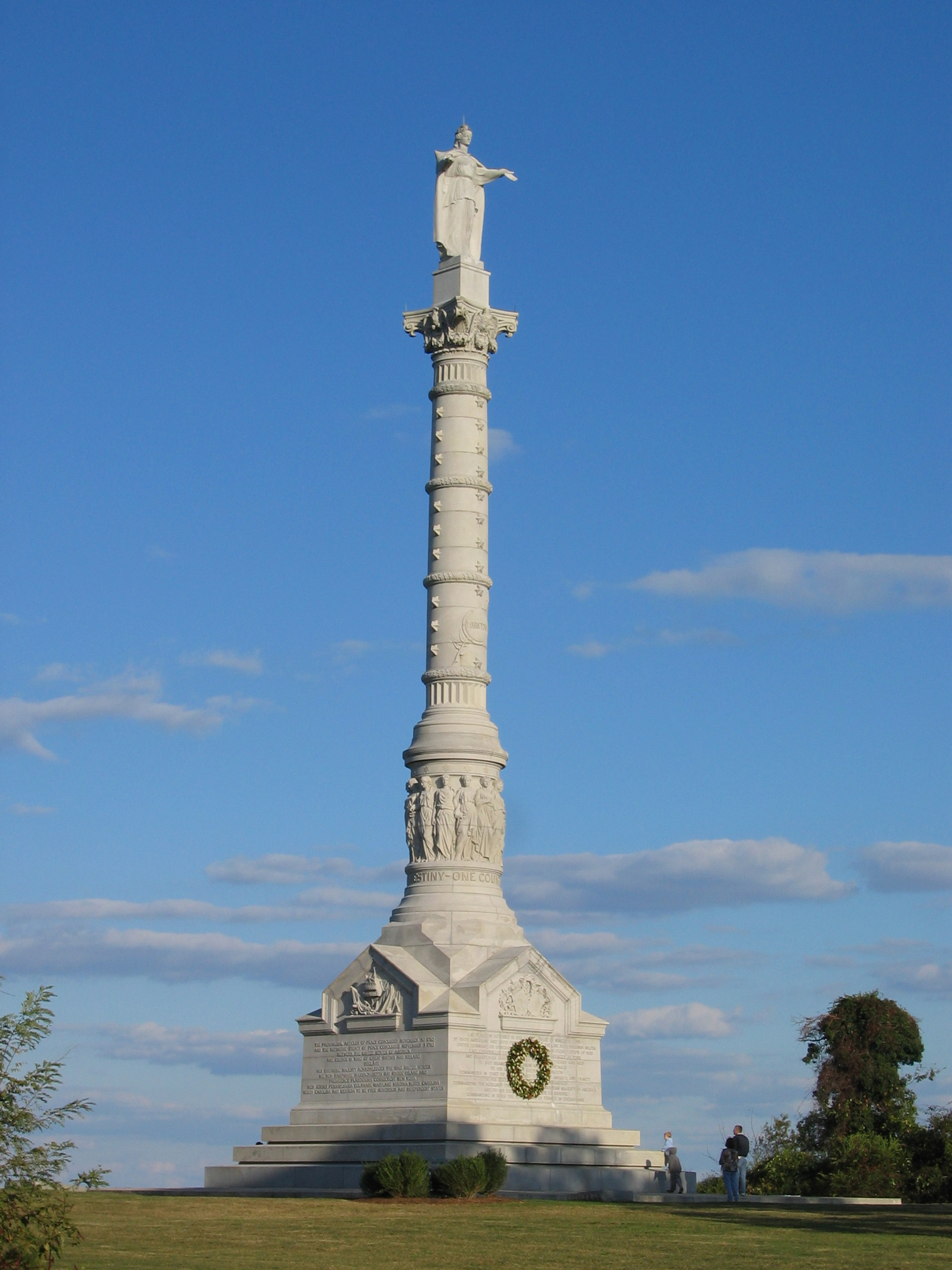
Yorktown is a census-designated place (CDP) in York County, Virginia. It is the county seat of York County, one of the eight original shires formed in colonial Virginia in 1682. Yorktown's population was 195 as of the 2010 census, while York County's population was 66,134 in the 2011 census estimate. The town is most famous as the site of the siege and subsequent surrender of General Charles Cornwallis to General George Washington and the French Fleet during the American Revolutionary War on October 19, 1781. Although the war would last for another year, this British defeat at Yorktown effectively ended the war in North America. Yorktown also figured prominently in the American Civil War (1861–1865), serving as a major port to supply both northern and southern towns, depending upon who held Yorktown at the time. Yorktown is one of three sites of the Historic Triangle, which also includes Jamestown and Williamsburg as important colonial-era settlements. It is the eastern ... [...More Info...] [...Related Items...] OR: [Wikipedia] [Google] [Baidu] |
Peninsula Subdivision
The Peninsula Extension which created the Peninsula Subdivision of the Chesapeake and Ohio Railway (C&O) was the new railroad line on the Virginia Peninsula from Richmond to southeastern Warwick County. Its principal purpose was to provide an important new pathway for coal mined in West Virginia to reach the harbor of Hampton Roads for coastal and export shipping on collier ships. Completed on October 16, 1881, the new double-tracked railroad and the other development visions of industrialist Collis Potter Huntington resulted in a 15-year transition of the rural farm village of Newport News into a new independent city which also became home to the world's largest shipyard. The railroad, one of the later developed in Virginia, became important to many communities, opening transportation options, and stimulating commerce and military operations on the Peninsula throughout the 20th century. Over 125 years after it opened, many of the stations are gone. Spur lines have both come ... [...More Info...] [...Related Items...] OR: [Wikipedia] [Google] [Baidu] |
Carrollton, Virginia
Carrollton is a census-designated place (CDP) in Isle of Wight County, Virginia, United States. The population as of the 2010 census was 4,574. Carrollton is located near the southern end of the James River Bridge across from Newport News. Carrollton has recently experienced growth as a bedroom community. History Carrollton is named for the Carroll family, prominent landowners of the 19th century. The remaining home of the Carroll family is located at the intersection of Reynolds Drive and Norsworthy Drive, and is considered to have been in deteriorating condition for many years. At one time the home also is said to have served as the Carrollton Country Store. The Carroll home is one of only a handful of truly historic Carrollton homes. It predates the original Carrollton Post Office, which is now occupied by a locally owned heating business. The old post office is located about east of the Carroll home on Norsworthy Drive near the western end of the current CDP. Its flagpole ... [...More Info...] [...Related Items...] OR: [Wikipedia] [Google] [Baidu] |
Chuckatuck, Virginia
Chuckatuck is a neighborhood of the independent city of Suffolk, Virginia, United States. It is located at the junction of State Route 10/ State Route 32 and State Route 125, just south of SR 10/32's crossing of Chuckatuck Creek. Its elevation is 36 feet above mean sea level. The neighborhood is relatively small and consists of such businesses as a garden store, general store, automobile repair shop, three churches, two gas stations, a restaurant, a hardware store, and others. It has a fire department, Suffolk station nine, which is operated as the Chuckatuck Volunteer Fire Department. The community is also located near Lone Star Lakes, a recreational park. Former Virginia Governor Mills Godwin Mills Edwin Godwin Jr. (November 19, 1914January 30, 1999) was an American politician who was the 60th and 62nd governor of Virginia for two non-consecutive terms, from 1966 to 1970 and from 1974 to 1978. In his first term, he was a member of ... and jazz guitarist Charlie Byrd gr ... [...More Info...] [...Related Items...] OR: [Wikipedia] [Google] [Baidu] |
Virginia State Route 125
State Route 125 (SR 125) is a primary state highway in the U.S. state of Virginia. Known as Kings Highway, the state highway has two sections that run a total of from SR 10 and SR 32 at Chuckatuck east to SR 337 at Driver within the independent city of Suffolk. SR 125 consists of a western section and a eastern section separated by a gap at the Nansemond River. This gap arose when the Kings Highway Bridge across the river was removed in 2008. Route description SR 125 begins at an intersection with SR 10 and SR 32 (Godwin Boulevard) in the hamlet of Chuckatuck in the city of Suffolk. The state highway heads east as a two-lane undivided road that passes historic St. John's Church then veers south to a dead end at Hollidays Point on the Nansemond River at the former site of the Kings Highway Bridge. SR 125 picks up again at a dead end due south of the western segment's dead end to the north of Nansemond National Wildlife Refuge. The highway veers east and passes th ... [...More Info...] [...Related Items...] OR: [Wikipedia] [Google] [Baidu] |
Partial Cloverleaf Interchange
A partial cloverleaf interchange or parclo is a modification of a cloverleaf interchange. The design has been well received, and has since become one of the most popular freeway-to- arterial interchange designs in North America. It has also been used occasionally in some European countries, such as Germany, Hungary, Italy, the Netherlands, and the United Kingdom. Comparison with other interchanges *A diamond interchange has four ramps. *A cloverleaf interchange has eight ramps, as does a stack interchange. They are fully grade separated, unlike a parclo, and have traffic flow without stops on all ramps and throughways. *A parclo generally has either four or six ramps but less commonly has five ramps. Naming In Ontario, the specific variation is identified by a letter/number suffix after the name. Ontario's naming conventions are used in this article. The letter ''A'' designates that two ramps meet the freeway ''ahead'' of the arterial road, while ''B'' designates that two ram ... [...More Info...] [...Related Items...] OR: [Wikipedia] [Google] [Baidu] |
Nansemond River
The Nansemond River is a U.S. Geological Survey. National Hydrography Dataset high-resolution flowline dataThe National Map accessed April 1, 2011 tributary of the James River in Virginia in the United States. Virginian colonists named the river for the Nansemond tribe of Native Americans, who had long inhabited the area. They continue as a federally recognized tribe in Virginia. The river begins at the outlet of Lake Meade north of downtown Suffolk, which had historically marked the northern boundary of the city. The Nansemond River Light once signaled the river's confluence with the James. The Nansemond River Bridge, once a toll bridge and part of U.S. Route 17, crosses the river near its mouth. Two other bridges cross the river, one from downtown Suffolk and one on Route 58. The Nansemond National Wildlife Refuge is located along the river. See also *List of rivers of Virginia This is a list of rivers in the U.S. state of Virginia. By drainage basin This list is arra ... [...More Info...] [...Related Items...] OR: [Wikipedia] [Google] [Baidu] |
Portsmouth Subdivision
The Portsmouth Subdivision is a railroad line owned by CSX Transportation in Virginia and North Carolina. The line connects CSX's network with the port city of Portsmouth, Virginia. The Portsmouth Subdivision was historically operated by the Seaboard Air Line Railroad, a CSX predecessor. Route Description The eastern terminus of the Portsmouth Subdivision is in its namesake city, Portsmouth, Virginia. From Portsmouth, it runs southwest to Garysburg, North Carolina on the Roanoke River, a distance of 75.8 miles. It passes through Franklin and Boykins and crosses into North Carolina just southwest of Branchville. In North Carolina, it continues southwest to Garysburg, North Carolina. The Portsmouth Subdivision currently terminates between Garysburg and the Roanoke River at a connection with line CSX's A Line ( North End Subdivision). When the Seaboard Air Line operated the line, the Portsmouth Subdivision did not connect with the A Line but instead continued parallel to i ... [...More Info...] [...Related Items...] OR: [Wikipedia] [Google] [Baidu] |
Virginia State Route 337
State Route 337 (SR 337) is a primary state highway in the South Hampton Roads area of the U.S. state of Virginia. It runs east from Suffolk to Portsmouth, where it crosses Jordan Bridge. It continues on the east side of the Southern Branch Elizabeth River in the South Norfolk neighborhood of Chesapeake. There it turns north, through Norfolk, crossing the Berkley Bridge into downtown, and ending at the Naval Station Norfolk at Sewell's Point. Most of its length was formed when other highways were rerouted: U.S. Route 460 from Suffolk to South Norfolk, SR 170 (now SR 168) from South Norfolk to downtown Norfolk, and US 17 from downtown Norfolk to Sewell's Point (the former location of the Newport News Ferry). SR 337 is the only numbered highway to cross all three Branches of the Elizabeth River. It crosses the Western Branch as Portsmouth Boulevard at the Hodges Ferry Bridge, the Southern Branch on the Jordan Bridge, and the Eastern Branch on the Berkley Bridge. The Berkle ... [...More Info...] [...Related Items...] OR: [Wikipedia] [Google] [Baidu] |
Norfolk District
Norfolk () is a ceremonial and non-metropolitan county in East Anglia in England. It borders Lincolnshire to the north-west, Cambridgeshire to the west and south-west, and Suffolk to the south. Its northern and eastern boundaries are the North Sea, with The Wash to the north-west. The county town is the city of Norwich. With an area of and a population of 859,400, Norfolk is a largely rural county with a population density of 401 per square mile (155 per km2). Of the county's population, 40% live in four major built up areas: Norwich (213,000), Great Yarmouth (63,000), King's Lynn (46,000) and Thetford (25,000). The Broads is a network of rivers and lakes in the east of the county, extending south into Suffolk. The area is protected by the Broads Authority and has similar status to a national park. History The area that was to become Norfolk was settled in pre-Roman times, (there were Palaeolithic settlers as early as 950,000 years ago) with camps along the higher land in t ... [...More Info...] [...Related Items...] OR: [Wikipedia] [Google] [Baidu] |

_1.jpg)


