|
R759 Road
The R759 road is a regional road in Ireland running south-east to north-west through the Sally Gap in the Wicklow Mountains, from the R755 near Roundwood in East Wicklow to the N81 in West Wicklow. The other route through the Wicklow Mountains from east to west is the Wicklow Gap which is crossed by the R756. The highest point on the road is at the Sally Gap where it crosses the Military Road ( R115), 503m (1,650 ft) (). The road passes through some spectacular scenery, including the corrie lake of Lough Tay below Luggala mountain, in the Guinness Estate; the road gives access to several woodlands car-parks at Lough Tay, which are used to access the mountains around Djouce. The moorlands of the Sally Gap plateau, the Liffey Head Bog on the slopes of Tonduff, form the source of the River Liffey. The road is in length, and in winter can be dangerous or impassable as it is not treated by the Local Authority. Gallery File:R759 Liffey Bridge.jpg File:Sally Gap (Ex ... [...More Info...] [...Related Items...] OR: [Wikipedia] [Google] [Baidu] |
Sally Gap R115-R759
Sally may refer to: People *Sally (name), a list of notable people with the name Military *Sortie (siege warfare), Sally (military), an attack by the defenders of a town or fortress under siege against a besieging force; see sally port *Sally, the Allied reporting name for the Imperial Japanese Army's World War II Mitsubishi Ki-21 bomber Writings *''Sally'', a detective novel by E.V. Cunningham (aka Howard Fast) *Sally (short story), "Sally" (short story), by Isaac Asimov *"Sally", a poem by Patti Smith from her book ''Seventh Heaven (book), Seventh Heaven'' Music * Sally (band), an indie-rock band from Chicago, Illinois * Sally (Gogol Bordello song), "Sally" (Gogol Bordello song), 2005 * Sally (Gracie Fields song), "Sally" (Gracie Fields song), first performed in the film ''Sally in Our Alley'', 1931 * Sally (Hardwell song), "Sally" (Hardwell song), 2015 * Sally (Kerbdog song), "Sally" (Kerbdog song), 1996 * "Sally", a song by Anthony Phillips from ''Invisible Men'', 1983 * " ... [...More Info...] [...Related Items...] OR: [Wikipedia] [Google] [Baidu] |
Djouce
Djouce () at , is the 74th–highest peak in Ireland on the Arderin scale, and the 91st–highest peak on the Vandeleur-Lynam scale.Mountainviews, (September 2013), "A Guide to Ireland's Mountain Summits: The Vandeleur-Lynams & the Arderins", Collins Books, Cork, Djouce is situated in the northeastern section of the Wicklow Mountains, and dominates the views of the Wicklow Mountains from Roundwood to Newtownmountkennedy. Djouce is one of a few Irish mountains for which the Irish Office of Public Works (OPW) maintain a boarded mountain trail, using railway sleepers, from its base to a point close to its summit; making the mountain even more accessible to the public, but while also protecting the underlying bog and soil from human erosion. Djouce is popular with hill walkers, and it lies along the 131-kilometre Wicklow Way; on its southern slopes at a senic viewpoint is the '' J.B. Malone memorial stone'', dedicated to the creator of the Wicklow Way. Naming According to ... [...More Info...] [...Related Items...] OR: [Wikipedia] [Google] [Baidu] |
Regional Roads In The Republic Of Ireland
In geography, regions, otherwise referred to as zones, lands or territories, are areas that are broadly divided by physical characteristics (physical geography), human impact characteristics (human geography), and the interaction of humanity and the environment ( environmental geography). Geographic regions and sub-regions are mostly described by their imprecisely defined, and sometimes transitory boundaries, except in human geography, where jurisdiction areas such as national borders are defined in law. Apart from the global continental regions, there are also hydrospheric and atmospheric regions that cover the oceans, and discrete climates above the land and water masses of the planet. The land and water global regions are divided into subregions geographically bounded by large geological features that influence large-scale ecologies, such as plains and features. As a way of describing spatial areas, the concept of regions is important and widely used among the many branche ... [...More Info...] [...Related Items...] OR: [Wikipedia] [Google] [Baidu] |
Department Of Transport (Ireland)
The Department of Transport ( ga, An Roinn Iompair) is a department of the Government of Ireland that is responsible for transport policy and overseeing transport services and infrastructure. The department is led by the Minister for Transport who is assisted by one Minister of State. Departmental team The official headquarters and ministerial offices of the department are in Leeson Lane, Dublin. It also has offices in Killarney and Loughrea. The departmental team consists of the following: * Minister for Transport: Eamon Ryan, TD ** Minister of State for International and Road Transport and Logistics: Hildegarde Naughton, TD *Secretary General of the Department: Ken Spratt Affiliated bodies State Agencies Among the State Agencies that report to, are appointed by the Minister, or are otherwise affiliated to the department are: * National Transport Authority * Road Safety Authority * Transport Infrastructure Ireland *Irish Aviation Authority *Irish Coast Guard *Commissio ... [...More Info...] [...Related Items...] OR: [Wikipedia] [Google] [Baidu] |
February 2009 United Kingdom And Ireland Snowstorm
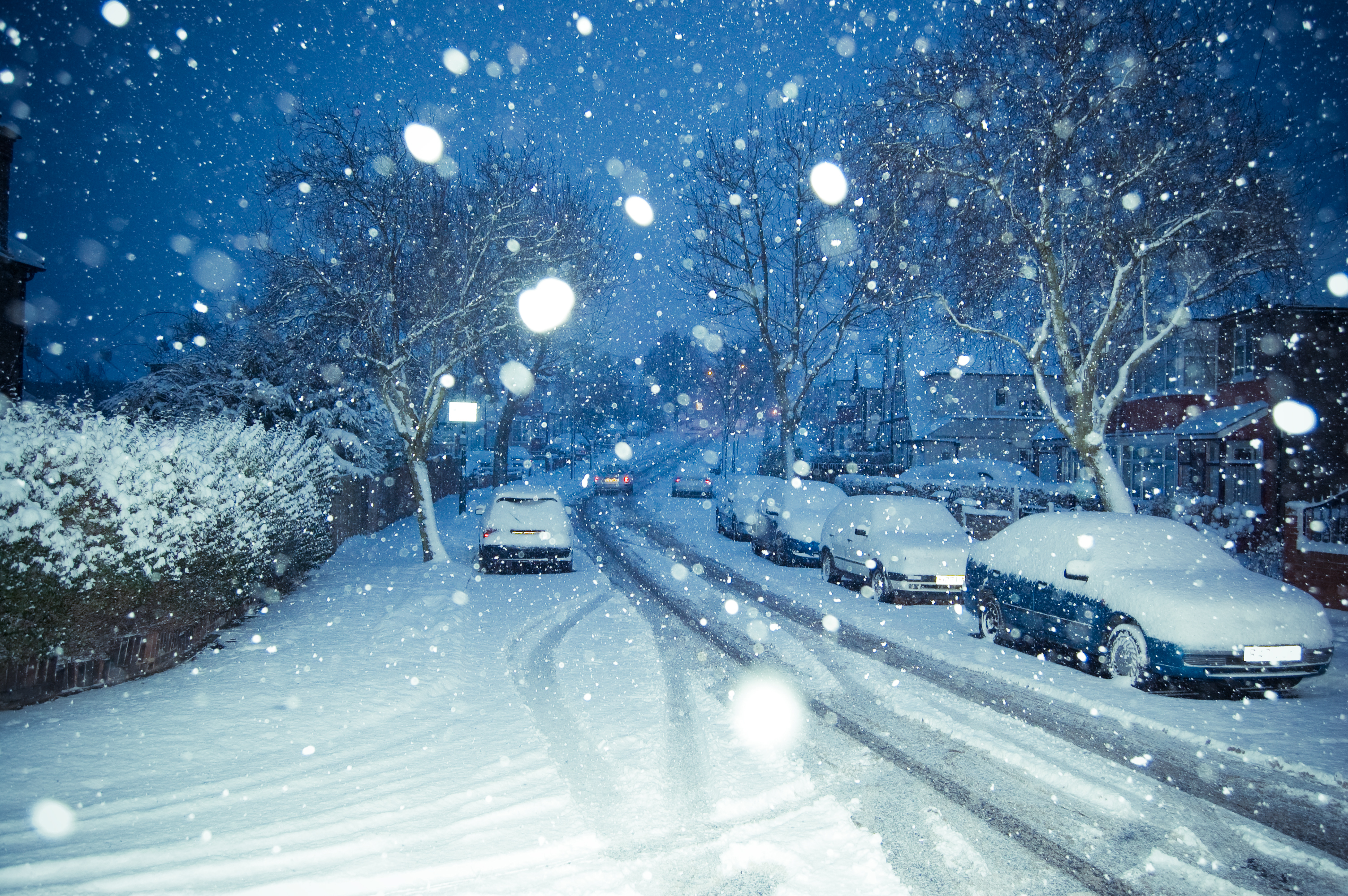
The February 2009 Great Britain and Ireland snowfall was a prolonged period of snowfall that began on 1 February 2009. Some areas experienced their largest snowfall levels in 18 years. Snow fell over much of Western Europe. The United Kingdom's Met Office and Ireland's Met Éireann issued severe weather warnings in anticipation of the snowfall. More than of snow fell on parts of the North Downs and over in parts of the London area. Such snow accumulation is uncommon in London. On the morning of 6 February the majority of Great Britain and Ireland had snow cover, with the area surrounding the Bristol Channel (South Wales (Cardiff area) and South West England (Bristol area)) being most affected – had settled overnight around Okehampton, Devon, South West England with similar depths in South Wales. In Ireland the highest totals were recorded around East Kildare and Wicklow County's were up to fell around Naas, County Kildare and even more along the Wicklow Mountains. The last ... [...More Info...] [...Related Items...] OR: [Wikipedia] [Google] [Baidu] |
Rathfarnham
Rathfarnham () is a Southside suburb of Dublin, Ireland. It is south of Terenure, east of Templeogue, and is in the postal districts of Dublin 14 and 16. It is within the administrative areas of both Dún Laoghaire–Rathdown County Council and South Dublin County Council. Located within the historical baronies of Rathdown and Uppercross, Rathfarnham village originally developed around a fortification overlooking a ford on the River Dodder. From the medieval period, Rathfarnham was on the perimeter of the Pale (the area of Anglo-Norman influence in Ireland, centred on Dublin), and a number of defensive structures were built in the area. Rathfarnham Castle, a fortified house, was built in the late 16th century. Developed around these structures, by the 19th century there were a number of mills operating in the area, and Rathfarnham was still somewhat rural by the early 20th century. During the 20th century, with the expansion of metropolitan Dublin, Rathfarnham became a ... [...More Info...] [...Related Items...] OR: [Wikipedia] [Google] [Baidu] |
National Secondary Road
A national secondary road ( ga, Bóthar Náisiúnta den Dara Grád) is a category of road in Ireland. These roads form an important part of the national route network but are secondary to the main arterial routes which are classified as national primary roads. National secondary roads are designated with route numbers higher than those used for primary roads, but with the same "N" prefix. Routes N51 and higher are all national secondary roads. National secondary roads have a default speed limit of 100 km/h (62.5 mph) as, along with national primary routes, they fall into the speed limit category of ''national roads''. There are 2657 km of national secondary roads in Ireland, making up slightly over 50% of the entire national route (national primary and national secondary) network. TII: ... [...More Info...] [...Related Items...] OR: [Wikipedia] [Google] [Baidu] |
National Primary Road
A national primary road ( ga, Bóthar príomha náisiúnta) is a road classification in Ireland. National primary roads form the major routes between the major urban centres. There are 2649 km of national primary roads. This category of road has the prefix "N" followed by one or two digits. Motorways are prefixed "M" followed by one or two digits. Description The routes numbered N1–N11 radiate anti-clockwise from Dublin, with those in the range N12–N26 being cross-country roads. Routes numbered N27–N33 are much shorter roads than the majority of the network: they link major pieces of infrastructure (such as ports and airports) to the network, such as the N33 being a feeder route to a major motorway (the M1). Finally, the N40 and the M50 are bypass roads of Ireland's two largest cities, Cork and Dublin. National secondary roads (see next section) are numbered under the same scheme with higher numbers (from N51 on). On road signage, destinations served but not on the r ... [...More Info...] [...Related Items...] OR: [Wikipedia] [Google] [Baidu] |
Roads In Ireland
The island of Ireland, comprising Northern Ireland and the Republic of Ireland, has an extensive network of tens of thousands of kilometres of public roads, usually surfaced. These roads have been developed and modernised over centuries, from trackways suitable only for walkers and horses, to surfaced roads including modern motorways. Driving is on the left-hand side of the road. The major routes were established before Irish independence and consequently take little cognisance of the border other than a change of identification number and street furniture. Northern Ireland has had motorways since 1962, and has a well-developed network of primary, secondary and local routes. The Republic started work on its motorway network in the early 1980s; and historically, the road network there was once somewhat less well developed. However, the Celtic Tiger economic boom and an influx of European Union structural funding, saw national roads and regional roads in the Republic come up to inte ... [...More Info...] [...Related Items...] OR: [Wikipedia] [Google] [Baidu] |
Kippure
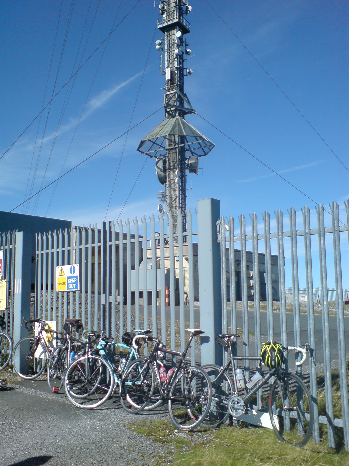
Kippure () at , is the 56th-highest peak in Ireland on the Arderin scale, and the 72nd-highest peak on the Vandeleur-Lynam scale.Mountainviews, (September 2013), "A Guide to Ireland's Mountain Summits: The Vandeleur-Lynams & the Arderins", Collins Books, Cork, Kippure is situated in the far northern sector of the Wicklow Mountains, where it lies on the border of the counties of Dublin and Wicklow in Ireland. Kippure is the County Top for Dublin, and its height and positioning over Dublin city have made its summit an important site for transmission masts, which are highly visible from a distance. Kippure's slopes feed into the Liffey Head Bog which forms the source of the River Liffey. The summit can be easily accessed from the east via a path that lies off the R115 (also called the "Military Road") road along the route to the Sally Gap. Naming According to Irish academic Paul Tempan, "Kippure" is simply a "transliteration of a pronunciation collected locally, but withou ... [...More Info...] [...Related Items...] OR: [Wikipedia] [Google] [Baidu] |
River Liffey
The River Liffey ( Irish: ''An Life'', historically ''An Ruirthe(a)ch'') is a river in eastern Ireland that ultimately flows through the centre of Dublin to its mouth within Dublin Bay. Its major tributaries include the River Dodder, the River Poddle and the River Camac. The river supplies much of Dublin's water and supports a range of recreational activities. Name Ptolemy's ''Geography'' (2nd century AD) described a river, perhaps the Liffey, which he labelled Οβοκα (''Oboka''). Ultimately this led to the name of the River Avoca in County Wicklow. The Liffey was previously named ''An Ruirthech'', meaning "fast (or strong) runner". The word ''Liphe'' (or ''Life'') referred originally to the name of the plain through which the river ran, but eventually came to refer to the river itself. The word may derive from the same root as Welsh ''llif'' (flow, stream), namely Proto-Indo-European ''lē̆i-4'', but Gearóid Mac Eoin has more recently proposed that it may derive from ... [...More Info...] [...Related Items...] OR: [Wikipedia] [Google] [Baidu] |
Tonduff
Tonduff () at , is the 169th–highest peak in Ireland on the Arderin scale, and the 202nd–highest peak on the Vandeleur-Lynam scale.Mountainviews, (September 2013), "A Guide to Ireland's Mountain Summits: The Vandeleur-Lynams & the Arderins", Collins Books, Cork, Tonduff is in the far northeastern section of the Wicklow Mountains, in Wicklow, Ireland. The main flat summit is sometimes listed as Tonduff North, while the subsidiary summit, Tonduff East Top , is sometimes listed as Tonduff South. Tonduff East Top has a prominence of only , which just qualifies it as an Arderin Beg. A bog on the western slopes of Tonduff, the Liffey Head Bog, forms the source of the River Liffey; bogs on the southern slopes of Tonduff, forms the source of the River Dargle. __NOTOC__ Bibliography * * * See also * Wicklow Way *Wicklow Mountains *Lists of mountains in Ireland * List of mountains of the British Isles by height *List of Hewitt mountains in England, Wales and Ireland Referenc ... [...More Info...] [...Related Items...] OR: [Wikipedia] [Google] [Baidu] |


.jpg)

.png)


