|
Personal Navigation Assistant
A Personal Navigation Assistant (PNA) also known as Personal Navigation Device or Portable Navigation Device (PND) is a portable electronic product which combines a positioning capability (such as GPS) and navigation functions. Some PNA devices are PDAs with limited features and can be unlocked. History The earliest PNAs were hand-held GPS units (circa mid-1980s) which were capable of displaying the user's location on an electronic map. These units included simple navigation functions such as course-to-steer and course-made-good. This first generation of PNAs were used by the US military. Market developments According to the analyst firm Berg Insight, there were more than 150 million turn-by-turn navigation systems worldwide in mid-2009, including about 35 million factory installed and aftermarket in-dash navigation systems, over 90 million Personal Navigation Devices (PNDs) and an estimated 28 million navigation-enabled mobile handsets with GPS. The term PNA has come into w ... [...More Info...] [...Related Items...] OR: [Wikipedia] [Google] [Baidu] |
Magellan Navigation
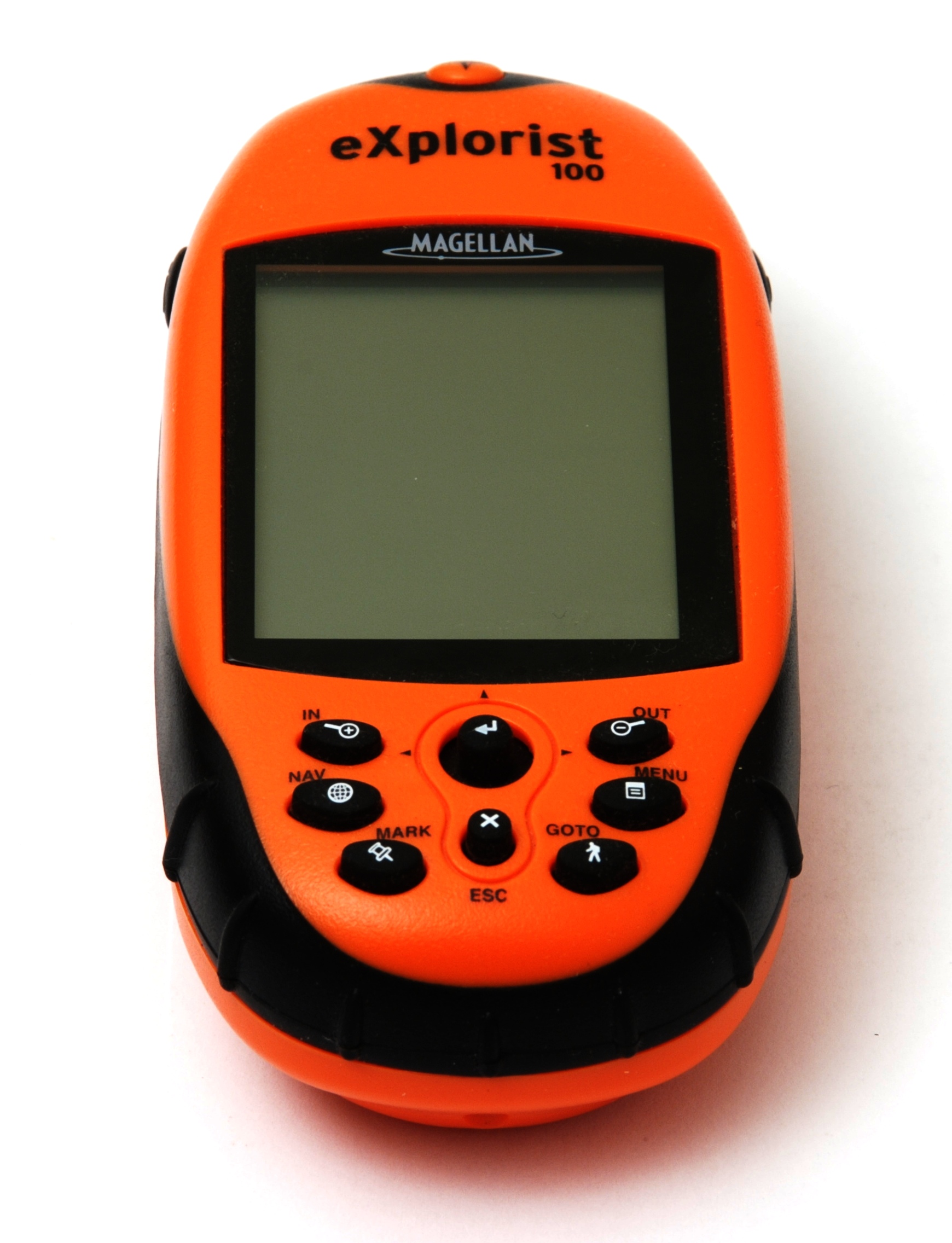
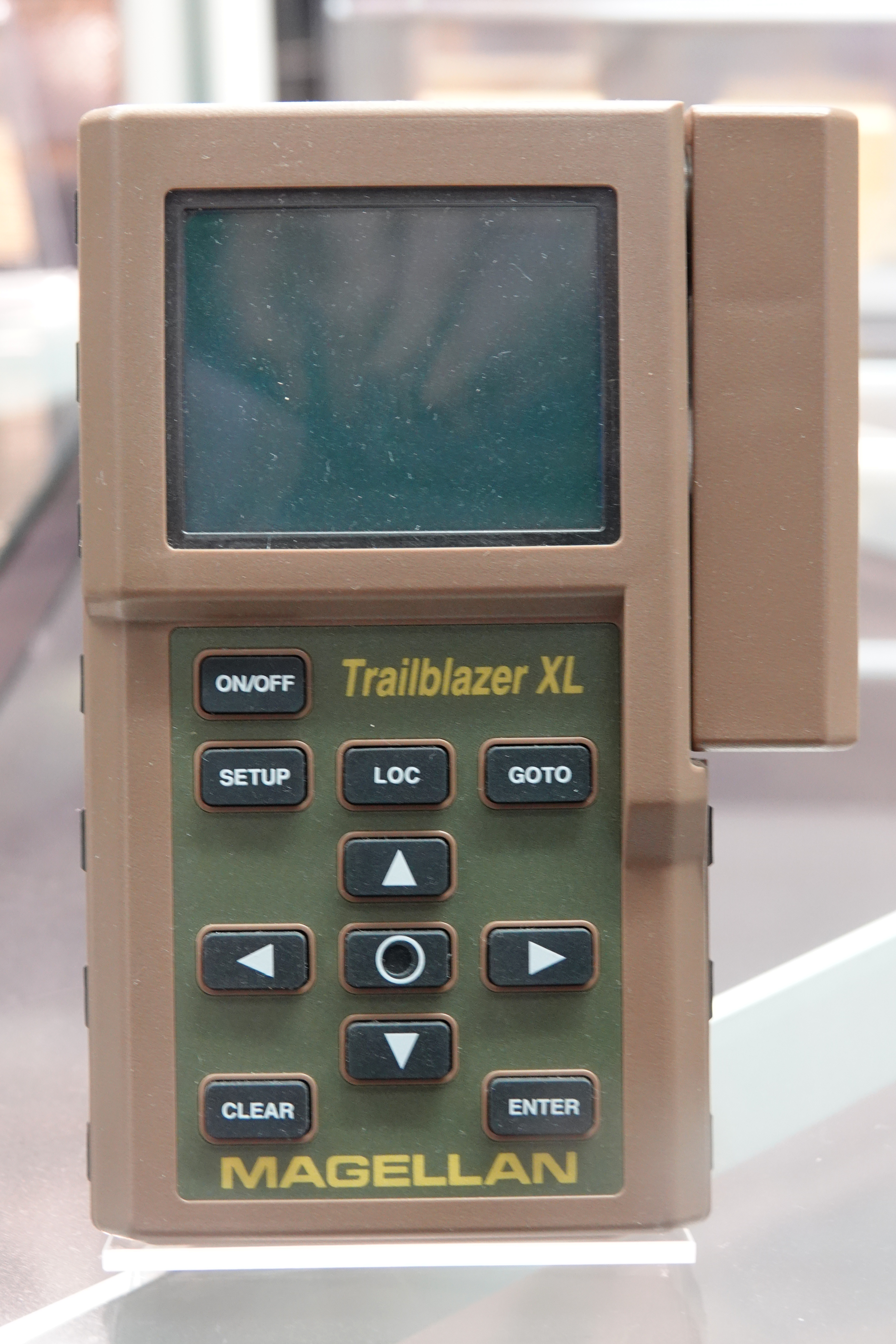
Magellan Navigation, Inc. is an American producer of consumer and professional grade global positioning system receivers, named after Ferdinand Magellan, the first explorer to circumnavigate the globe. Headquartered in San Dimas, California, with European sales and engineering centres in Nantes, France and Moscow, Russia, Magellan also produces aftermarket automotive GPS units, including the Hertz Neverlost system found in Hertz rental cars. The Maestro, RoadMate, Triton, and eXplorist lines are Magellan's current consumer offerings. The company also produces proprietary road maps (DirectRoute), topographic maps (Topo), and marine charts (BlueNav) for use with its consumer GPS receivers. History Magellan started as an independent company. It was once owned by Orbital Sciences Corporation, which purchased it in 1994. In 2001, Thales Group purchased the Magellan division of Orbital Sciences for about $70 million and the company became known as Thales Navigation. Five years later, ... [...More Info...] [...Related Items...] OR: [Wikipedia] [Google] [Baidu] |
Consumer Electronics
Consumer electronics or home electronics are electronic ( analog or digital) equipment intended for everyday use, typically in private homes. Consumer electronics include devices used for entertainment, communications and recreation. Usually referred to as black goods due to many products being housed in black or dark casings. This term is used to distinguish them from " white goods" which are meant for housekeeping tasks, such as washing machines and refrigerators, although nowadays, these would be considered black goods, some of these being connected to the Internet. In British English, they are often called brown goods by producers and sellers. In the 2010s, this distinction is absent in large big box consumer electronics stores, which sell entertainment, communication and home office devices, light fixtures and appliances, including the bathroom type. Radio broadcasting in the early 20th century brought the first major consumer product, the broadcast receiver. Lat ... [...More Info...] [...Related Items...] OR: [Wikipedia] [Google] [Baidu] |
Car Navigation
An automotive navigation system is part of the automobile controls or a third party add-on used to find direction in an automobile. It typically uses a satellite navigation device to get its position data which is then correlated to a position on a road. When directions are needed routing can be calculated. On the fly traffic information (road closures, congestion) can be used to adjust the route. Dead reckoning using distance data from sensors attached to the drivetrain, an accelerometer, a gyroscope, and a magnetometer can be used for greater reliability, as GNSS signal loss and/or multipath can occur due to urban canyons or tunnels. Mathematically, automotive navigation is based on the shortest path problem, within graph theory, which examines how to identify the path that best meets some criteria (shortest, cheapest, fastest, etc.) between two points in a large network. Automotive navigation systems are crucial for the development of self-driving cars. History Automotive na ... [...More Info...] [...Related Items...] OR: [Wikipedia] [Google] [Baidu] |
GPS Navigation Device
A satellite navigation device (satnav device) is a user equipment that uses one or more of several global navigation satellite systems (GNSS) to calculate the device's geographical position and provide navigational advice. Depending on the software used, the satnav device may display the position on a map, as geographic coordinates, or may offer routing directions. As of September 2020, there were four operational GNSS systems, the original United States' Global Positioning System (GPS), the European Union's Galileo, Russia's GLONASS, and China's BeiDou Navigation Satellite System. The Indian Regional Navigation Satellite System (IRNSS) will follow and Japan's Quasi-Zenith Satellite System ( QZSS) scheduled for 2023 will augment the accuracy of a number of GNSS. A satellite navigation device can retrieve location and time information from one or more GNSS systems in all weather conditions, anywhere on or near the Earth's surface. Satnav reception requires an unobstructed ... [...More Info...] [...Related Items...] OR: [Wikipedia] [Google] [Baidu] |
Ovi Maps
Here Technologies (stylised and trading as HERE and here) is an American-Dutch multinational group dealing with mapping, location data and related automotive services to individuals and companies. It is majority-owned by a consortium (an association, typically of several companies) of German automotive companies (namely Audi, BMW, the Mercedes-Benz Group) and American semiconductor company Intel whilst other companies also own minority stakes. Its roots date back to U.S.-based Navteq in 1985, which was acquired by Finland-based Nokia in 2007. Here is currently based in The Netherlands. Here captures location content such as road networks, buildings, parks and traffic patterns. It then sells or licenses that mapping content, along with map related navigation and location services to other businesses such as Alpine Electronics, Garmin, BMW, Oracle Corporation and Amazon.com. This third-party licensing constitutes the core of the firm's business. In addition, Here provide ... [...More Info...] [...Related Items...] OR: [Wikipedia] [Google] [Baidu] |
Motorola Droid
The Motorola Droid (GSM/UMTS version: Motorola Milestone) is an Internet and multimedia-enabled smartphone designed by Motorola, which runs Google's Android operating system. The Droid had been publicized under the codenames ''Sholes'' and ''Tao'' and the model number A855. In Latin America and Europe, the model number is A853 (Milestone), and in Mexico, the model number is A854 (Motoroi). Due to the ambiguity with newer phones with similar names, it is also commonly known as the DROID 1. The brand name Droid is a trademark of Lucasfilm licensed to Verizon Wireless. Features of the phone include Wi-Fi networking, a 5-megapixel low light capable digital camera, a standard 3.5 mm headphone jack, interchangeable battery, 3.7-inch 854×480 touchscreen display. It also includes microSDHC support with bundled 16 GB card, free turn-by-turn navigation from Google Maps, sliding QWERTY keyboard, and Texas Instruments OMAP 3430 processor. The Motorola Droid runs Android version 2. ... [...More Info...] [...Related Items...] OR: [Wikipedia] [Google] [Baidu] |
Android (operating System)
Android is a mobile operating system based on a modified version of the Linux kernel and other open-source software, designed primarily for touchscreen mobile devices such as smartphones and tablets. Android is developed by a consortium of developers known as the Open Handset Alliance and commercially sponsored by Google. It was unveiled in November 2007, with the first commercial Android device, the HTC Dream, being launched in September 2008. Most versions of Android are proprietary. The core components are taken from the Android Open Source Project (AOSP), which is free and open-source software (FOSS) primarily licensed under the Apache License. When Android is installed on devices, the ability to modify the otherwise free and open-source software is usually restricted, either by not providing the corresponding source code or by preventing reinstallation through technical measures, thus rendering the installed version proprietary. Most Android devices ship with addition ... [...More Info...] [...Related Items...] OR: [Wikipedia] [Google] [Baidu] |
Google Maps Navigation
Google Maps Navigation is a mobile application developed by Google for the Android and iOS operating systems that was later integrated into the Google Maps mobile app. The application uses an Internet connection to a GPS navigation system to provide turn-by-turn voice-guided instructions on how to arrive at a given destination. The application requires connection to Internet data (e.g. 3G, 4G, 5G, WiFi, etc.) and normally uses a GPS satellite connection to determine its location. A user can enter a destination into the application, which will plot a path to it. The app displays the user's progress along the route and issues instructions for each turn. History The application’s beta release was released on October 28, 2009, accompanying the release of Android 2.0 (Eclair) on the Motorola Milestone (known as the Motorola Droid). Google Maps Navigation Beta was initially released in the United States. The application (version 4.2) was later released in the UK on April 20, 20 ... [...More Info...] [...Related Items...] OR: [Wikipedia] [Google] [Baidu] |


