|
Pergamon World Atlas
The ''Pergamon World Atlas'' is an English-language world atlas published in 1968 by Pergamon Press. The atlas is based on maps prepared by the Polish Army Topographical Service and published in 1962 as the ''Atlas Świata'' (World Atlas). The atlas contains 380 pages of maps, figures and tables along with an index of 150,000 entries. Each geographic map is accompanied by a selection of thematic maps and city maps. The ''Pergamon'' added extra maps of the United Kingdom and Canada. References External links * Pergamon World Atlas' from the David Rumsey Historical Map Collection The David Rumsey Historical Map Collection is a large private map collection with over 150,000 maps and cartographic items. The collection was created by David Rumsey who, after making his fortune in real estate, focused initially on collecting ... Atlases 1968 non-fiction books {{geo-book-stub ... [...More Info...] [...Related Items...] OR: [Wikipedia] [Google] [Baidu] |
World Atlas
An atlas is a collection of maps; it is typically a bundle of maps of Earth or of a continent or region of Earth. Advances in astronomy have also resulted in atlases of the celestial sphere or of other planets. Atlases have traditionally been bound into book form, but today, many atlases are in multimedia formats. In addition to presenting geographical features and political boundaries, many atlases often feature geopolitical, social, religious, and economic statistics. They also have information about the map and places in it. Etymology The use of the word "atlas" in a geographical context dates from 1595 when the German-Flemish geographer Gerardus Mercator published ("Atlas or cosmographical meditations upon the creation of the universe and the universe as created"). This title provides Mercator's definition of the word as a description of the creation and form of the whole universe, not simply as a collection of maps. The volume that was published posthumously one year aft ... [...More Info...] [...Related Items...] OR: [Wikipedia] [Google] [Baidu] |
Pergamon Press
Pergamon Press was an Oxford-based publishing house, founded by Paul Rosbaud and Robert Maxwell, that published scientific and medical books and journals. Originally called Butterworth-Springer, it is now an imprint of Elsevier. History The core company, Butterworth-Springer, started in 1948 to bring the "Springer know-how and techniques of aggressive publishing in science"Joe Haines (1988) ''Maxwell'', Houghton Mifflin, p. 137. to Britain. Paul Rosbaud was the man with the knowledge. When Maxwell acquired the company in 1951, Rosbaud held a one-quarter share. They changed the house name to Pergamon Press, using a logo that was a reproduction of a Greek coin from Pergamon. Maxwell and Rosbaud worked together growing the company until May 1956, when, according to Joe Haines, Rosbaud was sacked. When Pergamon Press started it had only six serials and two books. Initially the company headquarters was in Fitzroy Square in West End of London. In 1959, the company moved into He ... [...More Info...] [...Related Items...] OR: [Wikipedia] [Google] [Baidu] |
Polish Army
The Land Forces () are the Army, land forces of the Polish Armed Forces. They currently contain some 110,000 active personnel and form many components of the European Union and NATO deployments around the world. Poland's recorded military history stretches back a millennium – since the 10th century (see List of Polish wars and History of the Polish Army). Poland's modern army was formed after Poland Partitions of Poland, regained independence following World War I in 1918. History 1918–1938 When Poland History of Poland (1918–1939), regained independence in 1918, it recreated its military which participated in the Polish–Soviet War of 1919–1921, and in the two smaller conflicts ( Polish–Ukrainian War (1918–1919) and the Polish–Lithuanian War (1919–1920)). Initially, right after the First World War, Poland had five military districts (1918–1921): * Poznań Military District (Poznański Okręg Wojskowy), HQ in Poznań * Kraków Military District (Krakowski ... [...More Info...] [...Related Items...] OR: [Wikipedia] [Google] [Baidu] |
Atlas (cartography)
An atlas is a collection of maps; it is typically a bundle of maps of Earth or of a continent or region of Earth. Advances in astronomy have also resulted in atlases of the celestial sphere or of other planets. Atlases have traditionally been bound into book form, but today, many atlases are in multimedia formats. In addition to presenting geographical features and political boundaries, many atlases often feature geopolitical, social, religious, and economic statistics. They also have information about the map and places in it. Etymology The use of the word "atlas" in a geographical context dates from 1595 when the German-Flemish geographer Gerardus Mercator published ("Atlas or cosmographical meditations upon the creation of the universe and the universe as created"). This title provides Mercator's definition of the word as a description of the creation and form of the whole universe, not simply as a collection of maps. The volume that was published posthumously one year ... [...More Info...] [...Related Items...] OR: [Wikipedia] [Google] [Baidu] |
Thematic Map
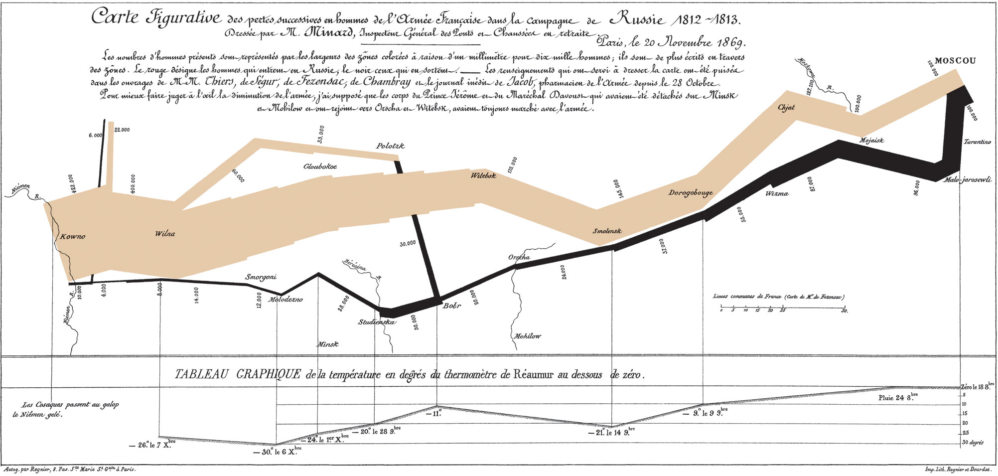
A thematic map is a type of map that portrays the geographic pattern of a particular subject matter (theme) in a geographic area. This usually involves the use of map symbols to Geovisualization, visualize selected properties of geographic features that are not naturally visible, such as temperature, language, or population. In this, they contrast with general reference maps, which focus on the location (more than the properties) of a diverse set of physical features, such as rivers, roads, and buildings. Alternative names have been suggested for this class, such as ''special-subject'' or ''special-purpose maps'', ''statistical maps'', or ''distribution maps'', but these have generally fallen out of common usage. Thematic mapping is closely allied with the field of Geovisualization. Several types of thematic maps have been invented, starting in the 18th and 19th centuries, as large amounts of statistical data began to be collected and published, such as Census, national census ... [...More Info...] [...Related Items...] OR: [Wikipedia] [Google] [Baidu] |
City Map
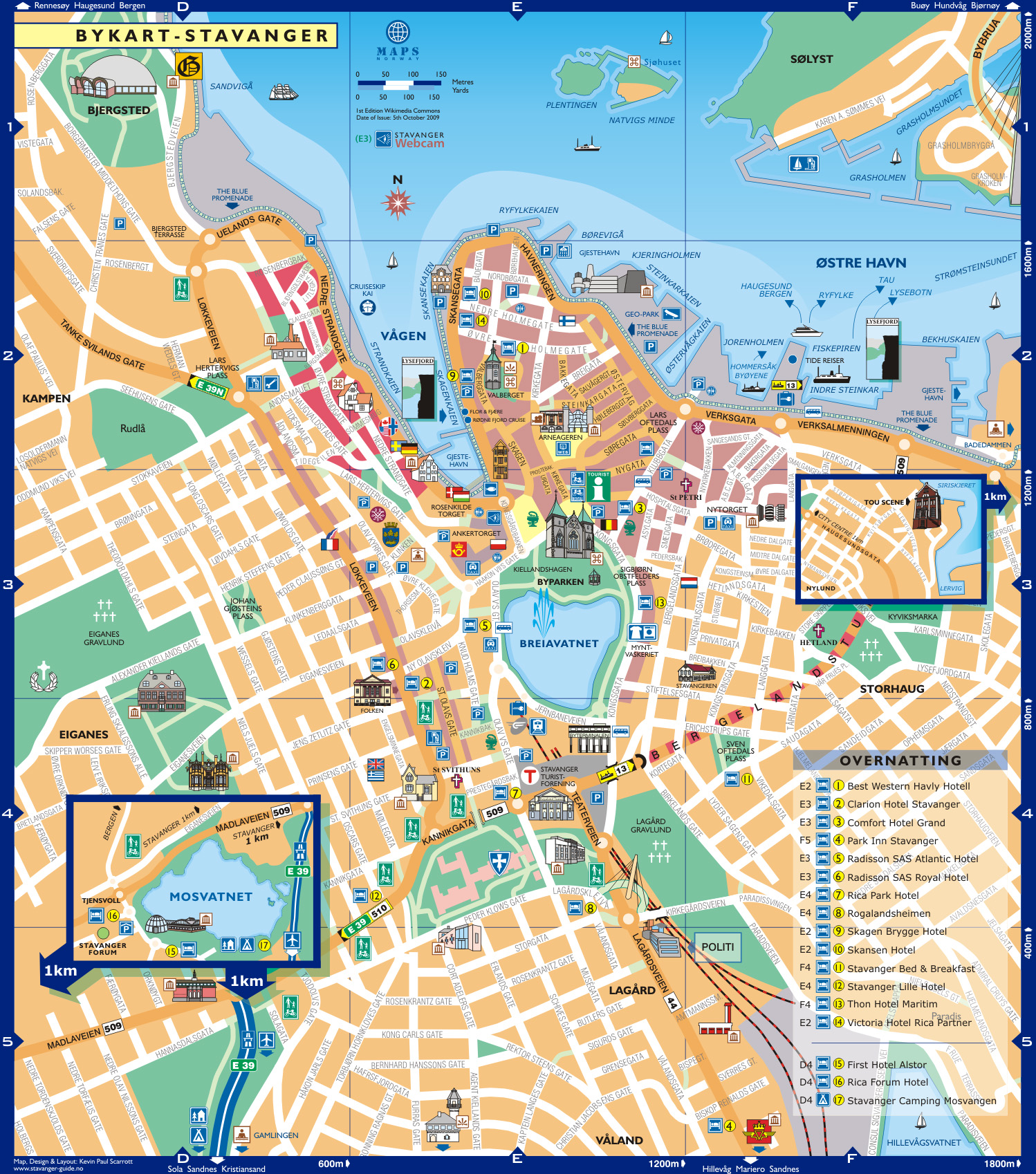
A city map is a large-scale thematic map of a city (or part of a city) created to enable the fastest possible orientation in an urban space. The graphic representation of objects on a city map is therefore usually greatly simplified, and reduced to generally understood symbology. Depending upon its target group or market, a city map will include not only the city's transport network, but also other important information, such as city sights or public institutions. Content and design The scale of a city map is usually between 1:10,000 and 1:25,000. Densely settled downtown areas will sometimes be partly drawn in a larger scale, on a separate detail map. In addition to linear true to scale maps, there are also maps with variable scale, for example where the scale gradually increases towards the city centre (aerial photography, and photogrammetry methods). Central to the information provided by a city map is the street network, including its street names (often supplemented ... [...More Info...] [...Related Items...] OR: [Wikipedia] [Google] [Baidu] |
David Rumsey Historical Map Collection
The David Rumsey Historical Map Collection is a large private map collection with over 150,000 maps and cartographic items. The collection was created by David Rumsey who, after making his fortune in real estate, focused initially on collecting 18th- and 19th century maps of North and South America, as this era "saw the rise of modern cartography." After 2004 Rumsey expanded the collection to include maps from the 16th through 21st centuries, covering more of the world. In 2008 the collection's website was cited as one of only seven websites with freely available "skillfully compiled carto-bibliographic entries with corresponding early-map images."Joel Kovarsky (2008), "Carto-Bibliography on the Web: Links Combining Text and Image", ''Imago Mundi'', vol. 60, no.1, pp. 93–96. . At that time the site comprised 16,000 digital images. In February 2009, David Rumsey announced that the entire collection would be donated to Stanford University, including 150,000 maps and their digit ... [...More Info...] [...Related Items...] OR: [Wikipedia] [Google] [Baidu] |
Atlases
An atlas is a collection of maps; it is typically a bundle of maps of Earth or of a continent or region of Earth. Advances in astronomy have also resulted in atlases of the celestial sphere or of other planets. Atlases have traditionally been bound into book form, but today, many atlases are in multimedia formats. In addition to presenting geographical features and political boundaries, many atlases often feature geopolitical, social, religious, and economic statistics. They also have information about the map and places in it. Etymology The use of the word "atlas" in a geographical context dates from 1595 when the German-Flemish geographer Gerardus Mercator published ("Atlas or cosmographical meditations upon the creation of the universe and the universe as created"). This title provides Mercator's definition of the word as a description of the creation and form of the whole universe, not simply as a collection of maps. The volume that was published posthumously one year af ... [...More Info...] [...Related Items...] OR: [Wikipedia] [Google] [Baidu] |


