|
Oxnam
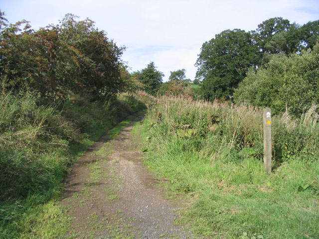
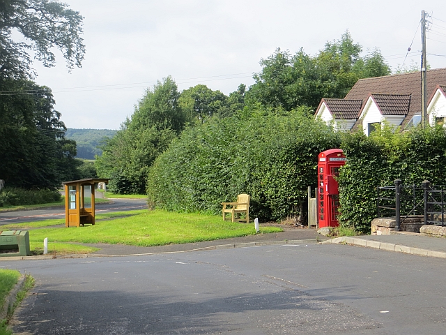
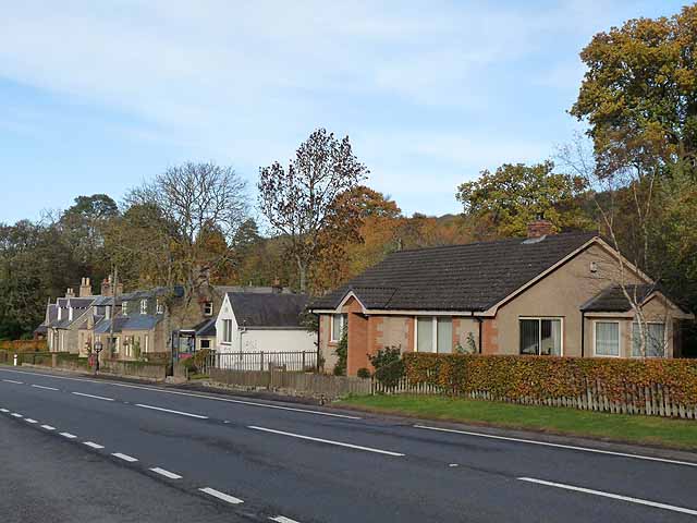
Oxnam ( sco, Owsenam) is a village near Jedburgh, in Roxburghshire in the Scottish Borders area of Scotland. It is a primarily residential village. The placename Oxnam is from Old English ''oxa'' (genitive ''oxan'') "oxen" and ''ham'' "village", the meaning being "village where ox are bred". The name was recorded as ''Oxenamm'' in 1148, and sometimes known as Oxenham. Current local placenames include Oxnam Green, Oxnam Kirk, Oxnam Mains, Oxnam Neuk, Oxnam Pond, Oxnam Row, Oxnam Sawmill, and Oxnam School. Dere Street passes through the village.Margary, I D (1957), 'Roman roads in Britain: north of the Foss Way - Bristol channel (including Wales and Scotland)', London. Other places nearby include Bairnkine, Camptown, Crailing, Crailinghall, Hownam, Kelso, Newbigging. See also *List of places in the Scottish Borders *List of places in Scotland This list of places in Scotland is a complete collection of lists of places in Scotland. *List of burghs in Scotland * List of c ... [...More Info...] [...Related Items...] OR: [Wikipedia] [Google] [Baidu] |
List Of Places In The Scottish Borders
''Map of places in the Scottish Borders compiled from this list'':See the list of places in Scotland for places in other counties. This list of places in the Scottish Borders includes towns, villages, hamlets, castles, golf courses, historic houses, hillforts, lighthouses, nature reserves, reservoirs, rivers, and other places of interest in the Scottish Borders council area of Scotland. A * Abbey Mill * Abbey St. Bathans * Abbotsford Ferry railway station, Abbotsford House *Abbotrule * Addinston * Aikwood Tower * Ale Water *Alemoor Loch * Allanbank * Allanshaugh * Allanshaws * Allanton *Ancrum, Ancrum Old Parish Church *Anglo-Scottish Border * Appletreehall *Ashiestiel * Ashkirk *Auchencrow * Ayton, Ayton Castle, Ayton Parish Church, Ayton railway station B *Baddinsgill, Baddinsgill Reservoir *Bairnkine * Bassendean *Battle of Ancrum Moor * Battle of Humbleton Hill *Battle of Nesbit Moor (1355) *Battle of Nesbit Moor (1402) *Battle of Phil ... [...More Info...] [...Related Items...] OR: [Wikipedia] [Google] [Baidu] |
Roxburghshire
Roxburghshire or the County of Roxburgh ( gd, Siorrachd Rosbroig) is a historic county and registration county in the Southern Uplands of Scotland. It borders Dumfriesshire to the west, Selkirkshire and Midlothian to the north-west, and Berwickshire to the north. To the south-west it borders Cumberland and to the south-east Northumberland, both in England. It was named after the Royal Burgh of Roxburgh, a town which declined markedly in the 15th century and is no longer in existence. Latterly, the county town of Roxburghshire was Jedburgh. The county has much the same area as Teviotdale, the basin drained by the River Teviot and tributaries, together with the adjacent stretch of the Tweed into which it flows. The term is often treated as synonymous with Roxburghshire, but may omit Liddesdale as Liddel Water drains to the west coast.Ordnance Gazetteer of Scotland, by, Francis Groome, publ. 2nd edition 1896. Article on Roxburghshire History The county appears to have ... [...More Info...] [...Related Items...] OR: [Wikipedia] [Google] [Baidu] |
Crailinghall
Crailinghall is a village near Oxnam in the Scottish Borders area of Scotland, in the former Roxburghshire. Crailinghall is on the route of the St. Cuthbert's Way and the Roman Heritage Way. See also *List of places in the Scottish Borders *List of places in Scotland This list of places in Scotland is a complete collection of lists of places in Scotland. *List of burghs in Scotland * List of census localities in Scotland *List of islands of Scotland ** List of Shetland islands **List of Orkney islands **List ... References * Geikie, J (1885) 'List of hill forts, intrenched camps, etc. in Roxburghshire on the Scotch side of the Cheviots', ''Hist Berwickshire Natur Club, vol.10'', page 143 External links CANMORE/RCAHMS record of Crailinghall, Cairn [...More Info...] [...Related Items...] OR: [Wikipedia] [Google] [Baidu] |
Bairnkine
Bairnkine is a hamlet on the Jed Water in the Scottish Borders area of Scotland, on the A68, south of Jedburgh. Other places nearby include Abbotrule, Bedrule, Camptown, Chesters, Langlee, Mervinslaw and Oxnam. See also *List of places in the Scottish Borders *List of places in Scotland This list of places in Scotland is a complete collection of lists of places in Scotland. *List of burghs in Scotland * List of census localities in Scotland *List of islands of Scotland ** List of Shetland islands **List of Orkney islands **List ... External links RCAHMS record for Bairnkine [...More Info...] [...Related Items...] OR: [Wikipedia] [Google] [Baidu] |
Crailing
Crailing is a village on the A698, in Teviotdale, 4m east of Jedburgh in the Scottish Borders area of Scotland, in the historic county of Roxburghshire. Places nearby include Ancrum, Crailinghall, Eckford, Hownam, Kelso, Nisbet, Roxburghshire, the Oxnam Water, the River Teviot. Notable people and events *Robert Aitken (preacher) (1800—1873) * Thomas Oliver (architect) (1791—1857) * Crailing played an important role in the early history of Clan Oliphant. Sir David Olifard, who is commonly held to be the progenitor of the clan, in 1141 got lands at Crailing from King David I of Scotland whose life Olifard had saved. * Rory Bremner bought Crailing House near Jedburgh in September in 2009.Penny ChurchillRory Bremner’s ‘magical Borders retreat’ for sale after 10 happy years and a ‘labour of love’ restoration '' Country Life'', 16 November 2019 See also *List of places in the Scottish Borders *List of places in Scotland This list of places in Scotland is a complete ... [...More Info...] [...Related Items...] OR: [Wikipedia] [Google] [Baidu] |
Jedburgh
Jedburgh (; gd, Deadard; sco, Jeddart or ) is a town and former royal burgh in the Scottish Borders and the traditional county town of the historic county of Roxburghshire, the name of which was randomly chosen for Operation Jedburgh in support of the D-Day invasion. Location Jedburgh lies on the Jed Water, a tributary of the River Teviot. It is from the border with England, and is dominated by the substantial ruins of Jedburgh Abbey. Other notable buildings in the town include Queen Mary's House, Jedburgh Castle Jail, now a museum, and the Jedburgh Library. Other places nearby are Ancrum, Bairnkine, Bonjedward, Camptown, Crailing, Edgerston, Ferniehirst Castle, Nisbet and Oxnam. History Jedburgh began as ''Jedworð'', the "worth" or enclosed settlement on the Jed. Later the more familiar word "burgh" was substituted for this, though the original name survives as Jeddart/Jethart. Bishop Ecgred of Lindisfarne founded a church at Jedburgh in the 9th centu ... [...More Info...] [...Related Items...] OR: [Wikipedia] [Google] [Baidu] |
Dere Street
Dere Street or Deere Street is a modern designation of a Roman road which ran north from Eboracum (York), crossing the Stanegate at Corbridge (Hadrian's Wall was crossed at the Portgate, just to the north) and continuing beyond into what is now Scotland, later at least as far as the Antonine Wall. Portions of its route are still followed by modern roads, including the A1 (south of the River Tees), the B6275 road through Piercebridge, where Dere Street crosses the River Tees, and the A68 north of Corbridge in Northumberland. Name The Roman name for the route is lost. Its English name corresponds with the post-Roman Anglo-Saxon kingdom of Deira, through which the first part of its route lies. That kingdom possibly took its name from the Yorkshire River Derwent. The term "street" derives from its Old English sense (from la, via strata), which referred to any paved road and had no particular association with urban thoroughfares. Portions of the road in Scotland were late ... [...More Info...] [...Related Items...] OR: [Wikipedia] [Google] [Baidu] |
Camptown, Scottish Borders
Camptown is a small settlement on the A68, in the Scottish Borders area of Scotland, 5m (8 km) south of Jedburgh, and the same distance south to Carter Bar. The village lies on the course of the Jed Water, and the remains of a peel tower are close by at Edgerston. The village has a church and village hall at nearby Edgerston, a bus service to Jedburgh and Newcastle, a memorial cairn, and a telephone box. Schooling takes place in Jedburgh. Other places nearby are Bairnkine, Bonchester Bridge, Crailing, Ferniehirst Castle, Hobkirk, the Jed Water, Mossburnford, and Oxnam. Trivia Scottish settlers named the town in Pennsylvania after the Borders settlement, which in turn was the inspiration for the minstrel song Camptown Races by Stephen Foster. The village roadsign has appeared on postcards for comedic effect. See also *List of places in the Scottish Borders *List of places in Scotland This list of places in Scotland is a complete collection of lists of places in Scotla ... [...More Info...] [...Related Items...] OR: [Wikipedia] [Google] [Baidu] |
Roxburgh
Roxburgh () is a civil parish and formerly a royal burgh, in the historic county of Roxburghshire in the Scottish Borders, Scotland. It was an important trading burgh in High Medieval to early modern Scotland. In the Middle Ages it had at least as much importance as Edinburgh, Stirling, Perth, or Berwick-upon-Tweed, for a time acting as ''de facto'' capital (as royal residence of David I). History Its significance lay in its position in the centre of some of Lowland Scotland's most agriculturally fertile areas, and its position upon the River Tweed, which allowed river transport of goods via the main seaport of Berwick-upon-Tweed. Its position also acted as a barrier to English invasion. Standing on a defensible peninsula between the rivers Tweed and Teviot, with Roxburgh Castle guarding the narrow neck of the peninsula, it was a settlement of some importance during the reign of David I who conferred Royal Burgh status upon the town. At its zenith, between the reigns of Willi ... [...More Info...] [...Related Items...] OR: [Wikipedia] [Google] [Baidu] |
List Of Places In Scotland
This list of places in Scotland is a complete collection of lists of places in Scotland. * List of burghs in Scotland * List of census localities in Scotland * List of islands of Scotland ** List of Shetland islands ** List of Orkney islands ** List of Inner Hebrides ** List of Outer Hebrides **List of outlying islands of Scotland ** List of freshwater islands in Scotland * List of rivers of Scotland * List of lochs in Scotland *Waterfalls of Scotland *List of Munros *Extreme points of Scotland Lists of places within Scottish local authorities * List of places in Aberdeen *List of places in Aberdeenshire *List of places in Angus *List of places in Argyll and Bute *List of places in Clackmannanshire *List of places in Dumfries and Galloway *List of places in Dundee *List of places in East Ayrshire *List of places in East Dunbartonshire *List of places in East Lothian *List of places in East Renfrewshire * List of places in na h-Eileanan Siar (Western Isles) *List of places in Fal ... [...More Info...] [...Related Items...] OR: [Wikipedia] [Google] [Baidu] |
Kelso, Scottish Borders
Kelso ( sco, Kelsae gd, Cealsaidh) is a market town in the Scottish Borders area of Scotland. Within the boundaries of the historic county of Roxburghshire, it lies where the rivers Tweed and Teviot have their confluence. The town has a population of 5,639 according to the 2011 census and based on the 2010 definition of the locality. Kelso's main tourist draws are the ruined Kelso Abbey and Floors Castle. The latter is a house designed by William Adam which was completed in 1726. The Kelso Bridge was designed by John Rennie who later built London Bridge. Kelso held the UK record for the lowest January temperature at , from 1881 until 1982. History The town of Kelso came into being as a direct result of the creation of Kelso Abbey in 1128. The town's name stems from the earliest settlement having stood on a chalky outcrop, and the town was known as Calkou (or perhaps Calchfynydd) in those early days, something that is remembered in the modern street name, "Chalkheugh ... [...More Info...] [...Related Items...] OR: [Wikipedia] [Google] [Baidu] |


