|
Mulayit Wildlife Sanctuary
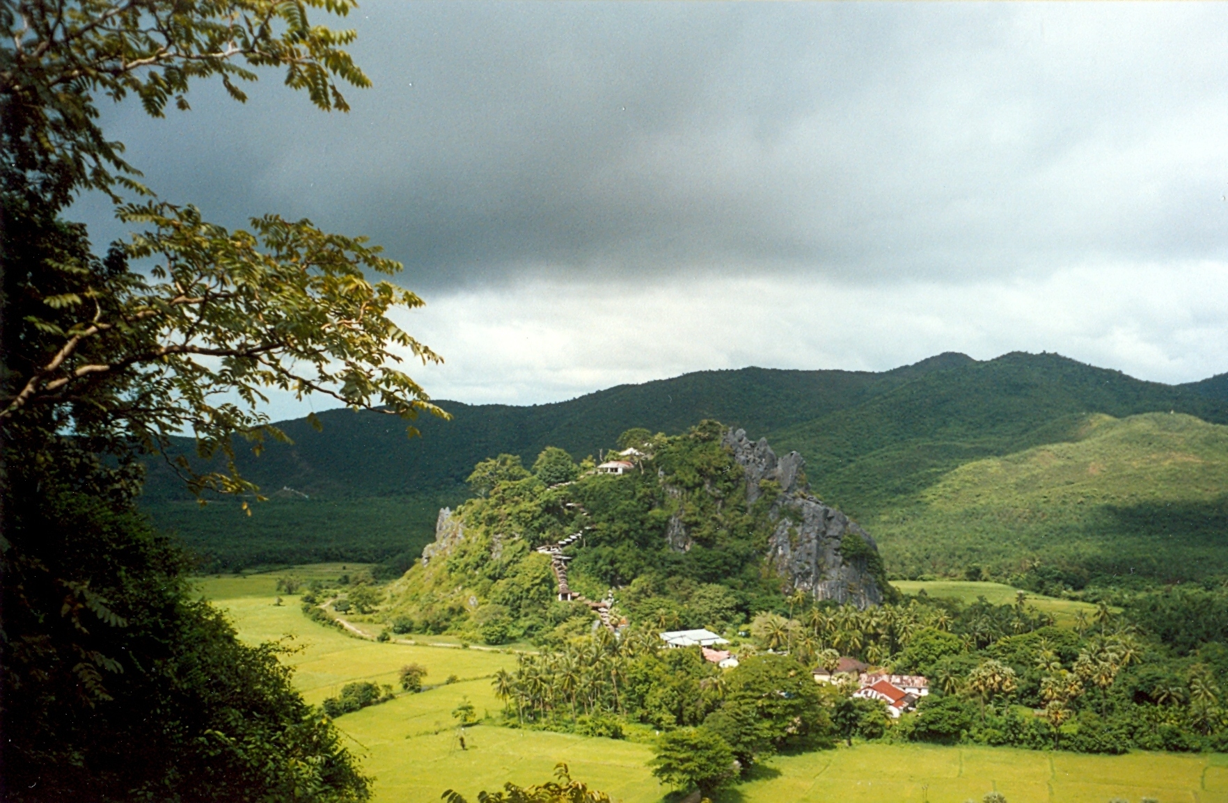
Mulayit Wildlife Sanctuary is a protected area in Myanmar's Kayin State, covering . It ranges in elevation from and encompasses grassland, evergreen forest and mixed deciduous forest in Kyain Seikgyi Township. It was gazetted in 1936. It is located on the western slopes of the Dawna Range and was established with the support of Buddhist monks. The white-fronted scops owl, the silver-eared laughingthrush (''Trochalopteron melanostigma''), the grey-sided thrush (''Turdus feae'') and the Tenasserim white-bellied rat (''Niviventer tenaster'') are found in the Mulayit Taung area. References External linksWhy there is no WWF program in Burma Protected areas of Myanmar Protected areas established in 1936 Dawna Range {{Burma-geo-stub ... [...More Info...] [...Related Items...] OR: [Wikipedia] [Google] [Baidu] |
Dawna Range
The Dawna Range (; th, ÓĖŚÓĖ┤ÓĖ¦Ó╣ĆÓĖéÓĖ▓ÓĖ¢ÓĖÖÓĖÖÓĖśÓĖćÓĖŖÓĖ▒ÓĖóÓĖĢÓĖ░ÓĖ¦ÓĖ▒ÓĖÖÓĖĢÓĖü, ÓĖŚÓĖ┤ÓĖ¦Ó╣ĆÓĖéÓĖ▓ÓĖöÓĖŁÓĖóÓĖĪÓĖŁÓĖÖÓĖüÓĖĖÓĖłÓĖ╣), also known as Dawna Hills, is a mountain range in eastern Burma and northwestern Thailand. Its northern end is located in Kayah State where it meets the Daen Lao Range, a subrange of the Shan Hills. The range runs southwards along Kayin State as a natural border with Mon State in the west forming parallel ranges to the northern end of the Tenasserim Hills further south and southeast. The Dawna Range extends east of the Salween southwards from the Shan Hills for about 350 km, at the western limit of the Thai highlands. Its southern end reaches the Thai-Myanmar border in the Umphang area, entering Thailand west of Kamphaeng Phet. The Thungyai Naresuan Wildlife Sanctuary is in the Thai side of the range. Some geographers include the Dawna Range as the western and the southern part of the Thanon Thong Chai Range (Ó╣ĆÓĖŚÓĖĘÓĖŁÓĖüÓ╣ĆÓĖéÓ ... [...More Info...] [...Related Items...] OR: [Wikipedia] [Google] [Baidu] |
