|
Langwith, Nottinghamshire
Nether Langwith is a village and civil parish, in the Bassetlaw district of Nottinghamshire, England. It is located east of Chesterfield and south west of Worksop. Nether Langwith lies east of the adjoining village, Langwith, which is in the district of Bolsover, Derbyshire, England. It is 527 hectares in size and lies on the banks of the River Poulter. The population at the 2011 census was 526. The local church is St Luke of Whaley Thorns, which was built in 1879 by J.B Mitchell-Withers. Whaley Thorns lies just north of Nether Langwith and of Bolsover. In 1924 it became a separate parish, but before then it was joined with the parish of Bolsover, of which St Mary's was the local church. St Luke's was a daughter church of St Mary's, of which there were three other daughter churches, St Winifred's in New Bolsover, St Peter's in Stanfree, St Laurence's at Shuttlewood. Of all of the daughter parish's, St Luke's is the only one to remain open. The village has two public house ... [...More Info...] [...Related Items...] OR: [Wikipedia] [Google] [Baidu] |
Bassetlaw District
Bassetlaw is a local government district in Nottinghamshire, England. The district has four towns: Worksop, Tuxford, Harworth Bircotes and Retford. It is bounded to the north by the Metropolitan Boroughs of Doncaster and Rotherham, the east by West Lindsey, the west by both the Borough of Chesterfield and North East Derbyshire and the south by Mansfield District and Newark and Sherwood. The district is along with Bolsover District, North East Derbyshire and Borough of Chesterfield is a non-constituent member of the Sheffield City Region. History Bassetlaw was created as a non-metropolitan district in 1974 by the merger of the municipal boroughs of Worksop and East Retford and most of Worksop Rural District and East Retford Rural District following the passage of the Local Government Act 1972. Local Government in Nottinghamshire is organised on a two-tier basis, with local district councils such as Bassetlaw District Council responsible for local services such ... [...More Info...] [...Related Items...] OR: [Wikipedia] [Google] [Baidu] |
Shuttlewood
Shuttlewood is a village situated about 2 miles north of Bolsover, in Bolsover District, Derbyshire, England. It is centred on the crossroads of two main roads; Bolsover-Mastin Moor and Clowne- Chesterfield. Shuttlewood is a former colliery village and thus has a lengthy mining heritage. It is a quiet village with a local shop and had a post office until June 2008. History Population figures in 1846 mentioned 46 inhabitants. A map of Shuttlewood dated 1898 shows the Brick and Tile Yard situated on Woodthorpe Road, now in the vicinity of Woodthorpe Close, the Travellers Rest public house, the chapel and the school that was later in 1918 mentioned as St Laurence's Church. By 1918, rapid expansion of Shuttlewood had taken place due to the mining industry and the Brockley School had been built. Also the football ground is shown behind the Travellers Rest on the side of Chesterfield Road. The terraced houses of Bentinck Road had also been built for miners who worked at the Oxcrof ... [...More Info...] [...Related Items...] OR: [Wikipedia] [Google] [Baidu] |
Villages In Nottinghamshire
A village is a clustered human settlement or community, larger than a hamlet but smaller than a town (although the word is often used to describe both hamlets and smaller towns), with a population typically ranging from a few hundred to a few thousand. Though villages are often located in rural areas, the term urban village is also applied to certain urban neighborhoods. Villages are normally permanent, with fixed dwellings; however, transient villages can occur. Further, the dwellings of a village are fairly close to one another, not scattered broadly over the landscape, as a dispersed settlement. In the past, villages were a usual form of community for societies that practice subsistence agriculture, and also for some non-agricultural societies. In Great Britain, a hamlet earned the right to be called a village when it built a church. [...More Info...] [...Related Items...] OR: [Wikipedia] [Google] [Baidu] |
Occupation Chart
Occupation commonly refers to: *Occupation (human activity), or job, one's role in society, often a regular activity performed for payment *Occupation (protest), political demonstration by holding public or symbolic spaces *Military occupation, the martial control of a territory *Occupancy, use of a building Occupation or The Occupation may also refer to: Arts and entertainment * ''Occupation'' (2018 film), an Australian film *Occupation (2021 film), a Czech comedy drama film * ''Occupation'' (TV series), a 2009 British drama about the Iraq War * "Occupation" (''Battlestar Galactica''), a 2006 television episode * "The Occupation" (''Star Wars Rebels''), a 2017 television episode *''The Occupation'', a 2019 video game *''The Occupation'', a 2019 novel by Deborah Swift See also *Career, a course through life * Employment, a relationship wherein a person serves of another by hire *Job (other) *Occupy (other) *Position (other) *Profession, a vocation *Stan ... [...More Info...] [...Related Items...] OR: [Wikipedia] [Google] [Baidu] |
Occupation For Males And Females In 2011
Occupation commonly refers to: *Occupation (human activity), or job, one's role in society, often a regular activity performed for payment *Occupation (protest), political demonstration by holding public or symbolic spaces *Military occupation, the martial control of a territory *Occupancy, use of a building Occupation or The Occupation may also refer to: Arts and entertainment * ''Occupation'' (2018 film), an Australian film *Occupation (2021 film), a Czech comedy drama film * ''Occupation'' (TV series), a 2009 British drama about the Iraq War * "Occupation" (''Battlestar Galactica''), a 2006 television episode * "The Occupation" (''Star Wars Rebels''), a 2017 television episode *''The Occupation'', a 2019 video game *''The Occupation'', a 2019 novel by Deborah Swift See also *Career, a course through life * Employment, a relationship wherein a person serves of another by hire *Job (other) *Occupy (other) *Position (other) *Profession, a vocation *Stan ... [...More Info...] [...Related Items...] OR: [Wikipedia] [Google] [Baidu] |
Nether Langwith Population Time Series 1881-2011
Nether may refer to: * The Nether, the hell-like dimension in the video game ''Minecraft'' * ''The Nether'', a sci-fi play * ''Nether'' (video game), a first-person multiplayer survival video game for Microsoft Windows See also *Kingdom of the Netherlands, a sovereign state with territory in Western Europe and the Caribbean *Netherlands, a constituent country of the Kingdom of the Netherlands located mostly in Western Europe *Netherlands (other) *Nether region (other) *Netherworld (other) Netherworld (''nether'', ″beneath, lower″) may refer to: *Underworld, a region thought to be beneath the surface of the world in many religions and mythologies Film and television * ''Netherworld'' (film), a 1992 American horror film *''Nethe ... * * * The Netherrealm, a hellish world in '' Mortal Kombat'' fighting game series {{disambig ... [...More Info...] [...Related Items...] OR: [Wikipedia] [Google] [Baidu] |
Heritage At Risk Register
An annual ''Heritage at Risk Register'' is published by Historic England. The survey is used by national and local government, a wide range of individuals and heritage groups to establish the extent of risk and to help assess priorities for action and funding decisions. This heritage-at-risk data is one of the UK government's official statistics. ''Heritage at risk'' is term for cultural heritage assets that are at risk as a result of neglect, decay, or inappropriate development; or are vulnerable to becoming so. England's ''Heritage at Risk Register'' The ''Heritage at Risk Register'' covers: * Grade I and II* listed buildings (the baseline register is 1999); Grade II listed buildings in London only (the baseline register is 1991) * Structural scheduled monuments (base year is 1999) and scheduled monuments (base year is 2009) * Registered parks and gardens (base year is 2009) * Registered historic battlefields (base year is 2008) * Protected wreck sites * Conservation areas ... [...More Info...] [...Related Items...] OR: [Wikipedia] [Google] [Baidu] |
Mansfield
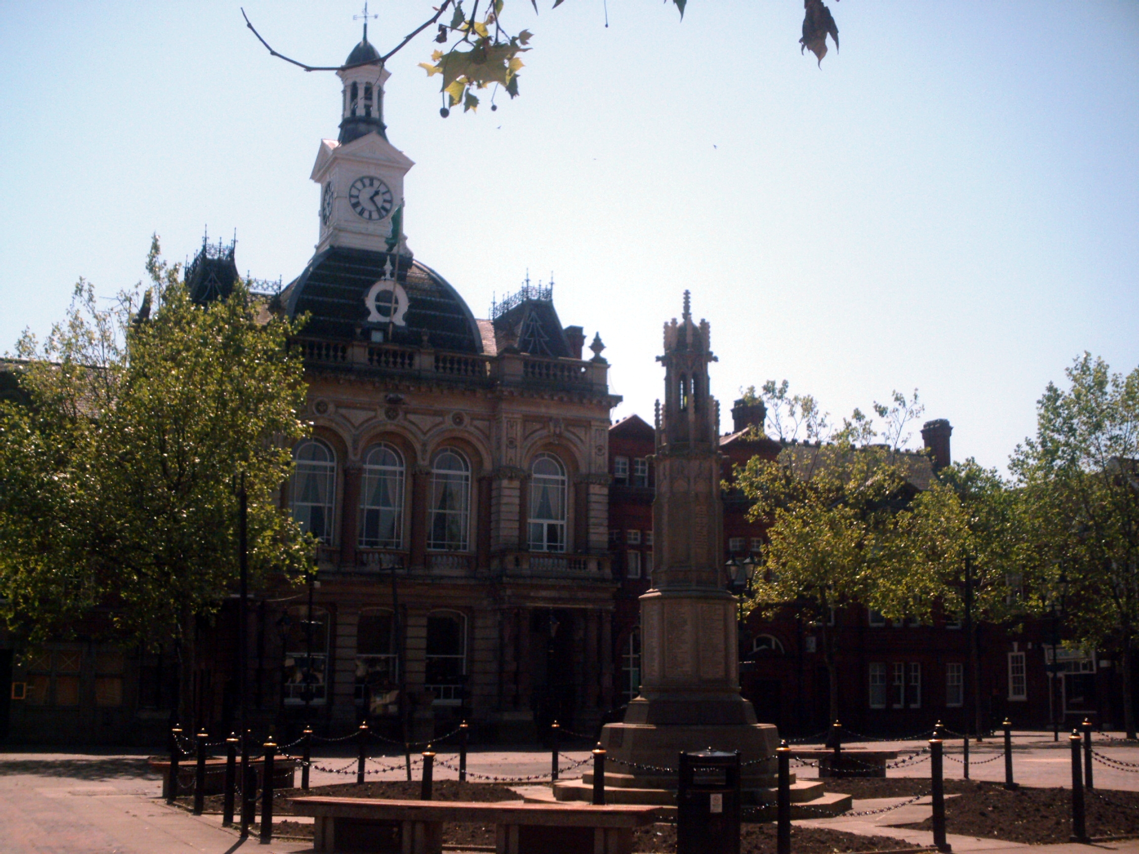
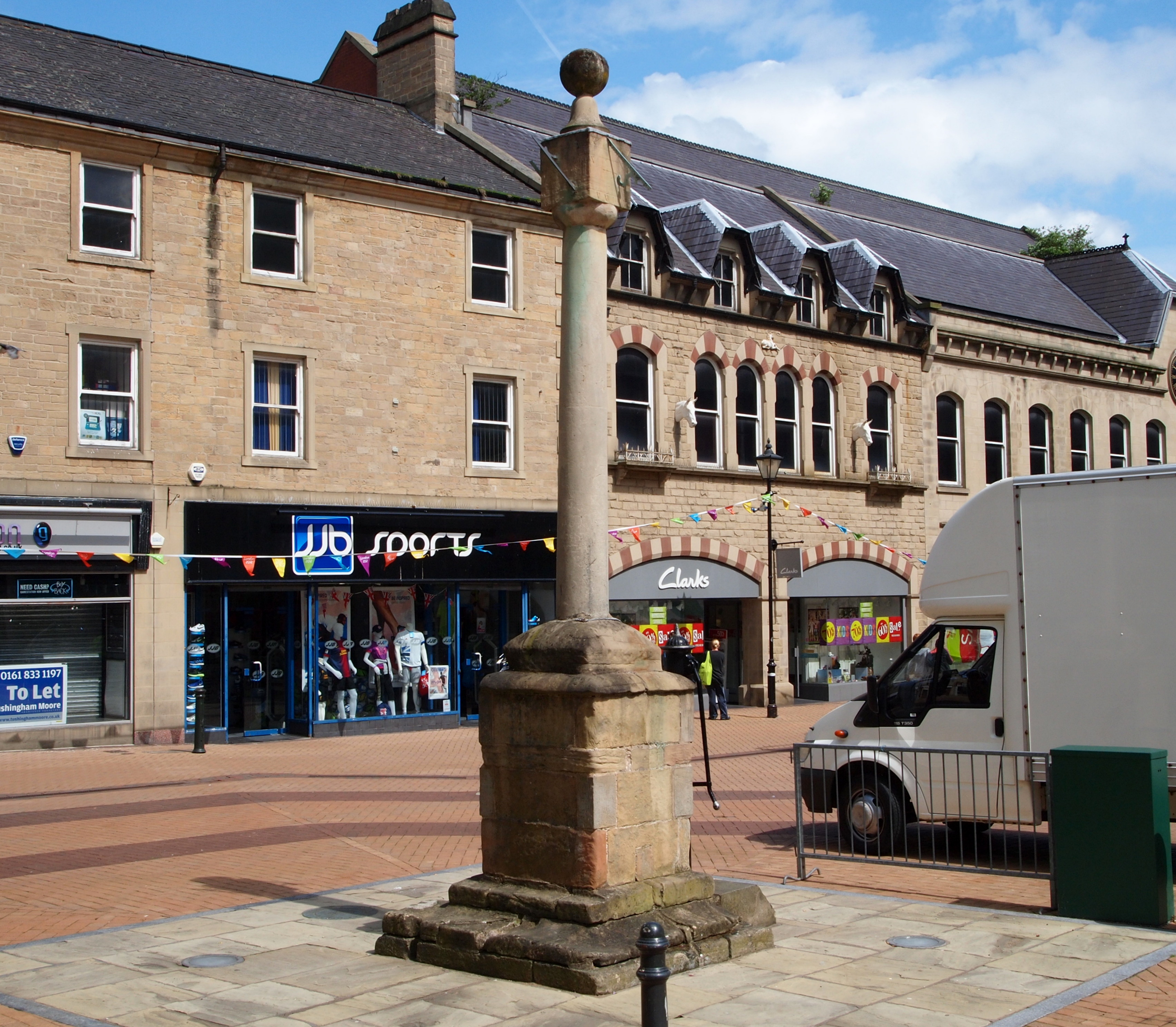
Mansfield is a market town and the administrative centre of Mansfield District in Nottinghamshire, England. It is the largest town in the wider Mansfield Urban Area (followed by Sutton-in-Ashfield). It gained the Royal Charter of a market town in 1227. The town lies in the Maun Valley, north of Nottingham and near Sutton-in-Ashfield. Most of the 109,000 population live in the town itself (including Mansfield Woodhouse), with Warsop as a secondary centre. Mansfield is the one local authority in Nottinghamshire with a publicly elected mayor. History Roman to Mediaeval Period Settlement dates to the Roman period. Major Hayman Rooke in 1787 discovered a villa between Mansfield Woodhouse and Pleasley; a cache of denarii was found near King's Mill in 1849. Early English royalty stayed there; Mercian Kings used it as a base to hunt in Sherwood Forest. The Royal Manor of Mansfield was held by the King. In 1042 Edward the Confessor possessed a manor in Mansfield. Willia ... [...More Info...] [...Related Items...] OR: [Wikipedia] [Google] [Baidu] |
Blidworth
Blidworth is a village and civil parish approximately five miles east of Mansfield, Nottinghamshire, England. The population of the civil parish at the 2011 census was 4,457. Its history can be traced back to the 10th century, although many of the current houses were built in the first half of the 20th century to provide housing for workers at Blidworth Colliery (1926–1989). These are mainly in estates north of Dale Lane, known as New Blidworth. The area around Main Street, west of Beck Lane and including the church, is Old Blidworth, containing some of the oldest buildings. Blidworth Bottoms is a hamlet about 0.5 km south of Old Blidworth. Toponymy Blidworth seems to contain the Old English personal name, ''Blitha + ''worð '' (Old English) an enclosure, so 'Blitha's enclosure'. History and geography The first recorded reference of Blidworth was in the Domesday Book, a national survey which was executed for William I of England in 1086. It is recorded as Blideworde, ... [...More Info...] [...Related Items...] OR: [Wikipedia] [Google] [Baidu] |
Major S W Welfitt
Major (commandant in certain jurisdictions) is a military rank of commissioned officer status, with corresponding ranks existing in many military forces throughout the world. When used unhyphenated and in conjunction with no other indicators, major is one rank above captain, and one rank below lieutenant colonel. It is considered the most junior of the field officer ranks. Background Majors are typically assigned as specialised executive or operations officers for battalion-sized units of 300 to 1,200 soldiers while in some nations, like Germany, majors are often in command of a company. When used in hyphenated or combined fashion, the term can also imply seniority at other levels of rank, including ''general-major'' or ''major general'', denoting a low-level general officer, and ''sergeant major'', denoting the most senior non-commissioned officer (NCO) of a military unit. The term ''major'' can also be used with a hyphen to denote the leader of a military band such ... [...More Info...] [...Related Items...] OR: [Wikipedia] [Google] [Baidu] |
Queen Anne Style Architecture
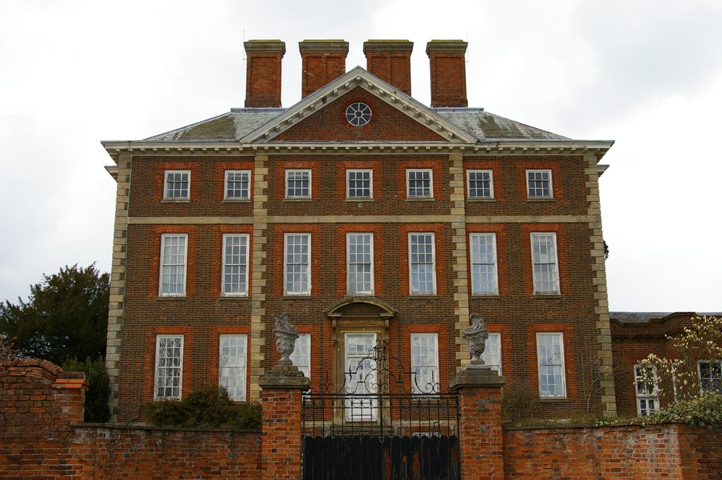
The Queen Anne style of British architecture refers to either the English Baroque architecture of the time of Queen Anne (who reigned from 1702 to 1714) or the British Queen Anne Revival form that became popular during the last quarter of the 19th century and the early decades of the 20th century. In other English-speaking parts of the world, New World Queen Anne Revival architecture embodies entirely different styles. Overview With respect to British architecture, the term is mostly used for domestic buildings up to the size of a manor house, and usually designed elegantly but simply by local builders or architects, rather than the grand palaces of noble magnates. The term is not often used for churches. Contrary to the American usage of the term, it is characterised by strongly bilateral symmetry, with an Italianate or Palladian-derived pediment on the front formal elevation. Colours were made to contrast with the use of carefully chosen red brick for the walls, with ... [...More Info...] [...Related Items...] OR: [Wikipedia] [Google] [Baidu] |
Stanfree
Stanfree is a community/village in Bolsover (district), county of Derbyshire, consisting of a couple of rows of terraced cottages, lying halfway between Shuttlewood and Clowne Clowne is a village and civil parish in the Bolsover district of Derbyshire, England. The population at the 2001 Census was 7,447 increasing to 7,590 (and including Harlesthorpe) at the 2011 Census. It forms part of the Bolsover constituency. .... It is mentioned in Bagshaw's directory of 1846 and states "a hamlet about 2 and a quarter miles north from Bolsover market place". It is thought by some to draw its name from the fact that, though in a stoney neighbourhood, it is free from surface stone, or it may have a Roman or British origin. Iron seems to have been smelted here in primitive ages, and coal was worked some 500 years ago. Remains of the workings of both can be found. The four roads meeting here are said by tradition to have once been the main roads of England and Stanfree to have been a sp ... [...More Info...] [...Related Items...] OR: [Wikipedia] [Google] [Baidu] |


