|
Lake Ontario State Parkway
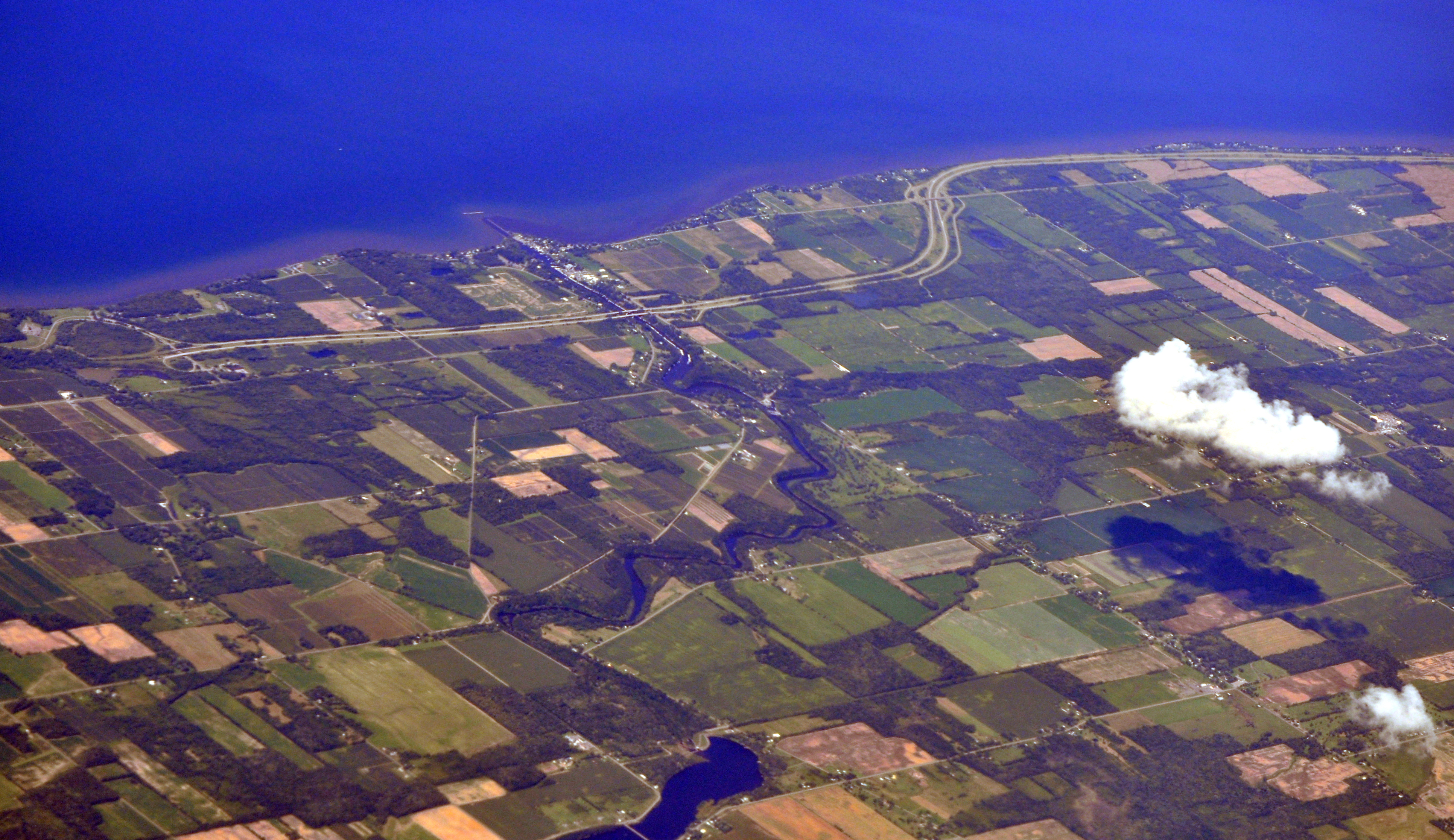
The Lake Ontario State Parkway is a parkway along the southern shore of Lake Ontario in Western New York in the United States. The western end of the highway is at a partial interchange within Lakeside Beach State Park in Carlton, Orleans County. Its eastern terminus is at an intersection with Lake Avenue in the Charlotte neighborhood of the Monroe County city of Rochester. The parkway is internally designated by the New York State Department of Transportation (NYSDOT) as New York State Route 947A (NY 947A), an unsigned reference route. A short, connector between the west end of the parkway and NY 18 is unsigned New York State Route 948A. The parkway mainline and the connector to NY 18 are both part of the Seaway Trail, a National Scenic Byway that extends along the shores of Lake Erie and Lake Ontario from northwestern Pennsylvania to the North Country area of New York. The Lake Ontario State Parkway passes through mostly open and rural areas, exce ... [...More Info...] [...Related Items...] OR: [Wikipedia] [Google] [Baidu] |
NYSDOT
The New York State Department of Transportation (NYSDOT) is the department of the New York state government responsible for the development and operation of highways, railroads, mass transit systems, ports, waterways and aviation facilities in the U.S. state of New York. This transportation network includes: * A state and local highway system, encompassing over 110,000 miles (177,000 km) of highway and 17,000 bridges. * A 5,000 mile (8,000 km) rail network, carrying over 42 million short tons (38 million metric tons) of equipment, raw materials, manufactured goods and produce each year. * Over 130 public transit operators, serving over 5.2 million passengers each day. * Twelve major public and private ports, handling more than 110 million short tons (100 million metric tons) of freight annually. * 456 public and private aviation facilities, through which more than 31 million people travel each year. It owns two airports, Stewart International Airport near Newburgh, ... [...More Info...] [...Related Items...] OR: [Wikipedia] [Google] [Baidu] |
Seaway Trail
The Great Lakes Seaway Trail, formerly named and commonly known as the Seaway Trail, is a National Scenic Byway in the northeastern United States, mostly contained in New York but with a small segment in Pennsylvania. The trail consists of a series of designated roads and highways that travel along the Saint Lawrence Seaway—specifically, Lake Erie, the Niagara River, Lake Ontario, and the Saint Lawrence River. It begins at the Ohio state line in rural Erie County, Pennsylvania, and travels through several cities and villages (including the cities of Buffalo, Niagara Falls, Rochester, Oswego, and Ogdensburg) before ending at the Seaway International Bridge northeast of the village of Massena in St. Lawrence County, New York. It is maintained by the non-profit Seaway Trail, Inc. The Seaway Trail was first designated in 1978 as an byway leading from the Seaway International Bridge to the Thousand Islands Bridge. It was extended southwestward across the state of New York ... [...More Info...] [...Related Items...] OR: [Wikipedia] [Google] [Baidu] |
New York State Office Of Parks, Recreation And Historic Preservation
The New York State Office of Parks, Recreation and Historic Preservation (NYS OPRHP) is a state agency within the New York State Executive DepartmentParks, Recreation and Historic Preservation Law § 3.03. "The office of parks, recreation and historic preservation is hereby continued in the executive department. .. charged with the operation of state parks and historic sites within the U.S. state of New York. As of 2014, the NYS OPRHP manages nearly of public lands and facilities, including 180 state parks and 35 historic sites, that are visited by over 78 million visitors each year. History The agency that would become the New York State Office of Parks, Recreation and Historic Preservation (NYS OPRHP) was created in 1970; however, the history of state parks and historic sites in New York stretches back to the latter part of the 19th century. Management of state-owned parks, and guidance for the entire state park system, was accomplished by various regional c ... [...More Info...] [...Related Items...] OR: [Wikipedia] [Google] [Baidu] |
Unsigned Highway
Road sign along Aurora_to_exit_the_freeway._The_road_at_this_exit_is_officially_designated_ Sigurd_and_Aurora,_Utah">Aurora_to_exit_the_freeway._The_road_at_this_exit_is_officially_designated_Utah_State_Route_259">SR 259,_a_short_connector;_however,_the_sign_instead_shows_Utah_State_Route_24.html" ;"title="Utah_State_Route_259.html" ;"title="Aurora,_Utah.html" ;"title="Sigurd,_Utah.html" "title="Interstate 70 in Utah signaling traffic destined for the towns of Sigurd, Utah">Sigurd and Aurora, Utah">Aurora to exit the freeway. The road at this exit is officially designated Utah State Route 259">SR 259, a short connector; however, the sign instead shows Utah State Route 24">SR 24, the highway at the other end of the connector. An unsigned highway is a highway that has been assigned a route number, but does not bear road markings that would conventionally be used to identify the route with that number. Highways are left unsigned for a variety of reasons, and examples are fo ... [...More Info...] [...Related Items...] OR: [Wikipedia] [Google] [Baidu] |
Lake Ontario State Parkway
The Lake Ontario State Parkway is a parkway along the southern shore of Lake Ontario in Western New York in the United States. The western end of the highway is at a partial interchange within Lakeside Beach State Park in Carlton, Orleans County. Its eastern terminus is at an intersection with Lake Avenue in the Charlotte neighborhood of the Monroe County city of Rochester. The parkway is internally designated by the New York State Department of Transportation (NYSDOT) as New York State Route 947A (NY 947A), an unsigned reference route. A short, connector between the west end of the parkway and NY 18 is unsigned New York State Route 948A. The parkway mainline and the connector to NY 18 are both part of the Seaway Trail, a National Scenic Byway that extends along the shores of Lake Erie and Lake Ontario from northwestern Pennsylvania to the North Country area of New York. The Lake Ontario State Parkway passes through mostly open and rural areas, exce ... [...More Info...] [...Related Items...] OR: [Wikipedia] [Google] [Baidu] |
Fort Niagara
Fort Niagara is a fortification originally built by New France to protect its interests in North America, specifically control of access between the Niagara River and Lake Ontario, the easternmost of the Great Lakes. The fort is on the river's eastern bank at its mouth on Lake Ontario. Youngstown, New York, later developed near here. The British took over the fort in 1759 during the French and Indian War. Although the United States was ostensibly ceded the fort after it gained independence in the American Revolutionary War, the British stayed until 1796. Transfer to the U.S. came after signing of the Jay Treaty that reaffirmed and implemented the legal border with British Canada. Although the US Army deactivated the fort in 1963, the Coast Guard continues to have a presence here. A non-profit group operates the fort and grounds as a state park and preserves it in part as a museum and site for historical re-enactments. It is also a venue for special events related to the region' ... [...More Info...] [...Related Items...] OR: [Wikipedia] [Google] [Baidu] |
Robert Moses State Parkway
The Niagara Scenic Parkway (known as the Robert Moses State Parkway until 2016) is a long north–south highway in western Niagara County, New York, in the United States. Its southern terminus is at the LaSalle Expressway on the east bank of the Niagara River in Niagara Falls. The northern terminus is at New York State Route 18 (NY 18) at Four Mile Creek State Park in Porter near Lake Ontario. Originally, the parkway was one continuous road; however, due to low usage, a portion of the parkway near Niagara Falls was removed, separating the parkway into two sections. The length of the parkway is designated as New York State Route 957A by the New York State Department of Transportation (NYSDOT). A long spur connecting the Niagara Scenic Parkway to Fort Niagara State Park near Youngstown is designated as New York State Route 958A. Both reference route designations are unsigned. The parkway, a divided highway for most of its route, is one of the most unorthodox ... [...More Info...] [...Related Items...] OR: [Wikipedia] [Google] [Baidu] |
Niagara Falls, New York
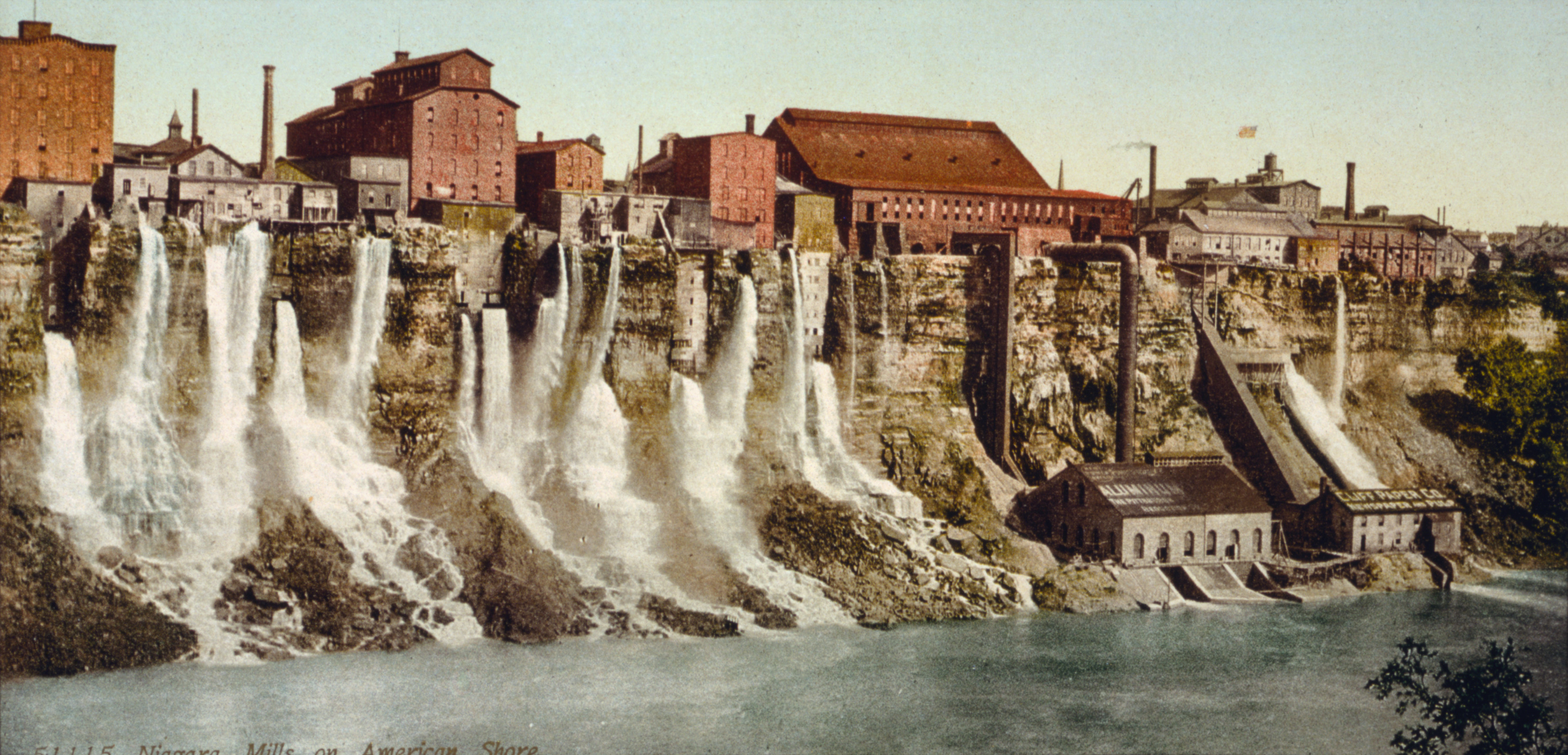
Niagara Falls is a city in Niagara County, New York, United States. As of the 2020 census, the city had a total population of 48,671. It is adjacent to the Niagara River, across from the city of Niagara Falls, Ontario, and named after the famed Niagara Falls which they share. The city is within the Buffalo–Niagara Falls metropolitan area and the Western New York region. While the city was formerly occupied by Native Americans, Europeans who migrated to the Niagara Falls in the mid-17th century began to open businesses and develop infrastructure. Later in the 18th and 19th centuries, scientists and businessmen began harnessing the power of the Niagara River for electricity and the city began to attract manufacturers and other businesses drawn by the promise of inexpensive hydroelectric power. After the 1960s, however, the city and region witnessed an economic decline, following an attempt at urban renewal under then Mayor Lackey. Consistent with the rest of the Rust Belt as ... [...More Info...] [...Related Items...] OR: [Wikipedia] [Google] [Baidu] |
New York State Route 261
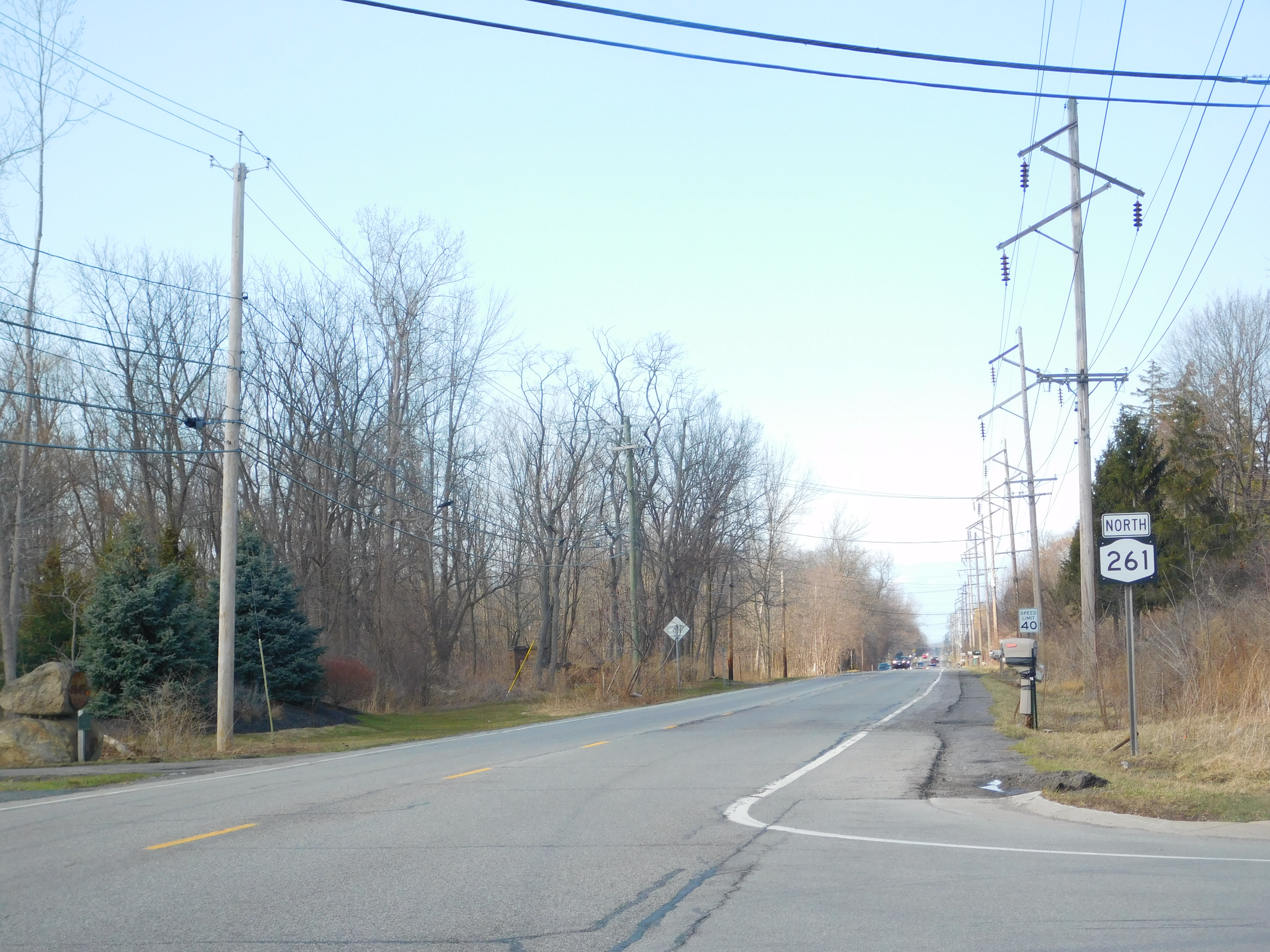
New York State Route 261 (NY 261) is a north–south state highway located west of the city of Rochester in Monroe County, New York, in the United States. It extends for through mostly rural areas from an intersection with NY 104 on the Greece–Parma town line to a dead end at the Lake Ontario shoreline in Greece. The majority of NY 261 is situated on the boundary between the towns of Greece and Parma; however, the last of the route are located solely in Greece. NY 261 meets the Lake Ontario State Parkway southwest of Manitou Beach on the latter stretch. The origins of NY 261 date back to the mid-1910s when the highway was initially taken over by the state. It went unnumbered—in terms of having a posted designation—until , at which time it became NY 261. The portion of NY 261 between the Lake Ontario State Parkway and Manitou Beach was initially state-maintained; however, it has since been transferred to Monroe County, which maintains ... [...More Info...] [...Related Items...] OR: [Wikipedia] [Google] [Baidu] |
Hamlin Beach State Park
Hamlin Beach State Park is a state park located on the shore of Lake Ontario in the Town of Hamlin in Monroe County, New York, United States. The Lake Ontario State Parkway passes through the park. History Hamlin Beach first became a park in 1929, after Monroe County purchased a total of for $169,373. The park, initially known as Northwest Beach Park, consisted of the former Charles Wolf property and surrounding farmland. The park's name was changed to Hamlin Beach Park in 1930. While under county ownership, a Civilian Conservation Corps camp was constructed at the park, and workers lodged at the camp labored to improve the park's facilities between 1935 and 1941. During World War II World War II or the Second World War, often abbreviated as WWII or WW2, was a world war that lasted from 1939 to 1945. It involved the vast majority of the world's countries—including all of the great powers—forming two opposing ..., the site was used as a Prisoner of War ... [...More Info...] [...Related Items...] OR: [Wikipedia] [Google] [Baidu] |
Parkways In New York
The majority of parkways in the US state of New York are part of a statewide parkway system owned by several public and private agencies but mostly maintained by the New York State Department of Transportation (NYSDOT). A handful of other roads in the Hudson Valley and on Long Island are also known as parkways but are not part of the state system. The roads of the state parkway system were among the first limited-access roads to be constructed. These highways were not divided and allowed no driveway cuts, but did have intersections for some of the streets they crossed. A small section of the privately financed Long Island Motor Parkway was the first limited-access road to begin operation as a toll road and the first highway to use bridges and overpasses to eliminate intersections. The individual parkways vary widely in composition. Some, such as the Sprain Brook Parkway, are functionally equivalent to a freeway; others, like Seven Lakes Drive, are two-lane undivided surface roa ... [...More Info...] [...Related Items...] OR: [Wikipedia] [Google] [Baidu] |
North Country, New York
The North Country (french: Pays du Nord) is the northernmost region of the U.S. state of New York, bordered by Lake Champlain to the east, the Adirondack Mountains and the Upper Capital District to the south, the Mohawk Valley region to the southwest, the Canadian border to the north, and Lake Ontario and the Saint Lawrence Seaway to the west. A mostly rural area, the North Country includes seven counties. Fort Drum, a U.S. Army base, is also located in the North Country, as is the Adirondack Park. As of 2009, the population of the region was 429,092. The term "North Country" was first widely popularized within New York by the 1900 novel '' Eben Holden'' by Irving Bacheller. Counties According to the Empire State Development Corporation, the North Country encompasses the following seven counties: *Clinton County * Essex County * Franklin County * Hamilton County * Jefferson County * Lewis County * St. Lawrence County However, according to the Adirondack North Countr ... [...More Info...] [...Related Items...] OR: [Wikipedia] [Google] [Baidu] |


.jpg)


