|
Lake Chao
Chao Lake (), also known by its Chinese name Chao Hu, is a lake wholly situated in Hefei, the capital of Anhui Province. It is the largest lake in Anhui and one of the five largest freshwater lakes in China. Mythology According to legend, the site of the lake was once a prosperous city named Chaozhou. Because of sins of its people, it was cursed by the heavens and ordered to be destroyed by flooding. The task was to be carried out by a white dragon who was only able to find one good person, an old lady ("Lao" in Chinese) surnamed Jiao. After the destruction of Chaozhou, only the old lady and her daughter were saved. They became the two islands emerging from the lake. This legend may be rooted in geological history, since Lake Chao is on the intersection of several major faults, of which the most famous is the Tan-Lu fault, which caused the great 1976 Tangshan earthquake in its northern section. Tourism Tourist sites around the lake include Mushan Island, Zhongmiao Temple, ... [...More Info...] [...Related Items...] OR: [Wikipedia] [Google] [Baidu] |
Hefei
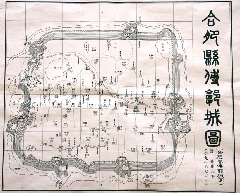
Hefei (; ) is the capital and largest city of Anhui Province, People's Republic of China. A prefecture-level city, it is the political, economic, and cultural center of Anhui. Its population was 9,369,881 as of the 2020 census and its built-up (or ''metro'') area made up of four urban districts plus Feidong, Feixi and Changfeng counties being urbanized, was home to 7,754,481 inhabitants. Located in the central portion of the province, it borders Huainan to the north, Chuzhou to the northeast, Wuhu to the southeast, Tongling to the south, Anqing to the southwest and Lu'an to the west. A natural hub of communications, Hefei is situated to the north of Chao Lake and stands on a low saddle crossing the northeastern extension of the Dabie Mountains, which forms the divide between the Huai and Yangtze rivers. The present-day city dates from the Song dynasty. Before World War II, Hefei remained essentially an administrative centre and the regional market for the fertile plain to t ... [...More Info...] [...Related Items...] OR: [Wikipedia] [Google] [Baidu] |
Anhui
Anhui , (; formerly romanized as Anhwei) is a landlocked province of the People's Republic of China, part of the East China region. Its provincial capital and largest city is Hefei. The province is located across the basins of the Yangtze River and the Huai River, bordering Jiangsu to the east, Zhejiang to the southeast, Jiangxi to the south, Hubei to the southwest, Henan to the northwest, and Shandong for a short section in the north. With a population of 63.65 million, Anhui is the 8th most populous province in China. It is the 22nd largest Chinese province based on area, and the 12th most densely-populated region of all 34 Chinese provincial regions. Anhui's population is mostly composed of Han Chinese. Languages spoken within the province include Jianghuai Mandarin, Wu, Hui, Gan and small portion of Zhongyuan Mandarin Chinese. The name "Anhui" derives from the names of two cities: Anqing and Huizhou (now Huangshan City). The abbreviation for Anhui is "" after the histo ... [...More Info...] [...Related Items...] OR: [Wikipedia] [Google] [Baidu] |
Chinese Language
Chinese (, especially when referring to written Chinese) is a group of languages spoken natively by the ethnic Han Chinese majority and many minority ethnic groups in Greater China. About 1.3 billion people (or approximately 16% of the world's population) speak a variety of Chinese as their first language. Chinese languages form the Sinitic branch of the Sino-Tibetan languages family. The spoken varieties of Chinese are usually considered by native speakers to be variants of a single language. However, their lack of mutual intelligibility means they are sometimes considered separate languages in a family. Investigation of the historical relationships among the varieties of Chinese is ongoing. Currently, most classifications posit 7 to 13 main regional groups based on phonetic developments from Middle Chinese, of which the most spoken by far is Mandarin (with about 800 million speakers, or 66%), followed by Min (75 million, e.g. Southern Min), Wu (74 million, e ... [...More Info...] [...Related Items...] OR: [Wikipedia] [Google] [Baidu] |
Romanization Of Chinese
Romanization of Chinese () is the use of the Latin alphabet to transliterate Chinese. Chinese uses a logographic script and its characters do not represent phonemes directly. There have been many systems using Roman characters to represent Chinese throughout history. Linguist Daniel Kane wrote, "It used to be said that sinologists had to be like musicians, who might compose in one key and readily transcribe into other keys." The dominant international standard for Standard Mandarin since about 1982 has been Hanyu Pinyin, invented by a group of Chinese linguists in the 1950s including Zhou Youguang. Other well-known systems include Wade–Giles (Mandarin) and Yale Romanization (Mandarin and Cantonese). There are many uses for Chinese Romanization. Most broadly, it is used to provide a useful way for foreigners who are not skilled at recognizing Chinese script to read and recognize Chinese. It can also be helpful for clarifying pronunciation among Chinese speakers who speak ... [...More Info...] [...Related Items...] OR: [Wikipedia] [Google] [Baidu] |
Fault (geology)
In geology, a fault is a planar fracture or discontinuity in a volume of rock across which there has been significant displacement as a result of rock-mass movements. Large faults within Earth's crust result from the action of plate tectonic forces, with the largest forming the boundaries between the plates, such as the megathrust faults of subduction zones or transform faults. Energy release associated with rapid movement on active faults is the cause of most earthquakes. Faults may also displace slowly, by aseismic creep. A ''fault plane'' is the plane that represents the fracture surface of a fault. A '' fault trace'' or ''fault line'' is a place where the fault can be seen or mapped on the surface. A fault trace is also the line commonly plotted on geologic maps to represent a fault. A ''fault zone'' is a cluster of parallel faults. However, the term is also used for the zone of crushed rock along a single fault. Prolonged motion along closely spaced faults can blur ... [...More Info...] [...Related Items...] OR: [Wikipedia] [Google] [Baidu] |
Tan-Lu Fault
The Tancheng-Lujiang Fault (referred to as the Tan-Lu Fault) is a large fault in the east China. It was named after it was initially discovered that it starts from Tancheng, Shandong Province in the north and reaches the Lujiang County in Anhui Province in the south. In fact, the northern section of the Tan-Lu fault has been extending along the north-north-east direction through the Bohai Sea and northeast China to the Sea of Okhotsk, with a length of more than 2,400 kilometers in China. In the history of the earth, its southern section also extended to today's Mount Lu for a time. Formation The southern segment of the Tan-Lu Faults (south of Tancheng) was formed at the end of the Triassic period as a strike-slip fault east of the Qinling-Dabie collision zone between the Yangtze plate and the Sino-Korean plate. During the Yanshan period of the Mesozoic Era, due to the westward subduction of the Pacific plate under the Eurasian plate (in a broad sense), the Tanlu fault belt extende ... [...More Info...] [...Related Items...] OR: [Wikipedia] [Google] [Baidu] |
1976 Tangshan Earthquake
The 1976 Tangshan earthquake () was a 7.6 earthquake that hit the region around Tangshan, Hebei, China, at 3:42 a.m. on 28 July 1976. The maximum intensity of the earthquake was XI (''Extreme'') on the Mercalli scale. In minutes, 85 percent of the buildings in Tangshan collapsed or were rendered unusable, all services failed, and most of the highway and railway bridges collapsed or were seriously damaged. The official report claimed 242,769 deaths and 164,851 serious injuries in Tangshan, but when taken into account the missing, the injured who later died and the deaths in nearby Beijing and Tianjin, scholars accepted at least 300,000 died, making it the deadliest earthquake in China and among the top disasters in China by death toll. The earthquakes The Tangshan earthquake was composed of two main shocks. The first struck at 3:42:56 in the morning (local time), approximately 12 km under the southern part of Tangshan.. The was initially estimated at 8.1, subsequen ... [...More Info...] [...Related Items...] OR: [Wikipedia] [Google] [Baidu] |
Mushan Island
Mushan may refer to: * Mushan, Albania * Mushan, Zhejiang (牟山镇), town in Yuyao Yuyao () is a county-level city in the northeast of Zhejiang province, China. It is under the jurisdiction of the sub-provincial city of Ningbo. It is located west of central Ningbo, east of Hangzhou, bordering Hangzhou Bay in the north. Yuyao ..., Zhejiang, China * Mushan, Iran * Mushan, Afghanistan {{geodis ... [...More Info...] [...Related Items...] OR: [Wikipedia] [Google] [Baidu] |
Eutrophication
Eutrophication is the process by which an entire body of water, or parts of it, becomes progressively enriched with minerals and nutrients, particularly nitrogen and phosphorus. It has also been defined as "nutrient-induced increase in phytoplankton productivity". Water bodies with very low nutrient levels are termed oligotrophic and those with moderate nutrient levels are termed mesotrophic. Advanced eutrophication may also be referred to as dystrophic and hypertrophic conditions. Eutrophication can affect freshwater or salt water systems. In freshwater ecosystems it is almost always caused by excess phosphorus. In coastal waters on the other hand, the main contributing nutrient is more likely to be nitrogen, or nitrogen and phosphorus together. This depends on the location and other factors. When occurring naturally, eutrophication is a very slow process in which nutrients, especially phosphorus compounds and organic matter, accumulate in water bodies. These nutrients deri ... [...More Info...] [...Related Items...] OR: [Wikipedia] [Google] [Baidu] |
Silting
Siltation, is water pollution caused by particulate terrestrial clastic material, with a particle size dominated by silt or clay. It refers both to the increased concentration of suspended sediments and to the increased accumulation (temporary or permanent) of fine sediments on bottoms where they are undesirable. Siltation is most often caused by soil erosion or sediment spill. It is sometimes referred to by the ambiguous term "sediment pollution", which can also refer to a chemical contamination of sediments accumulated on the bottom, or to pollutants bound to sediment particles. Although "siltation" is not perfectly stringent, since it also includes particle sizes other than silt, it is preferred for its lack of ambiguity. Causes The origin of the increased sediment transport into an area may be erosion on land or activities in the water. In rural areas, the erosion source is typically soil degradation by intensive or inadequate agricultural practices, leading to soil erosi ... [...More Info...] [...Related Items...] OR: [Wikipedia] [Google] [Baidu] |
Asian Development Bank
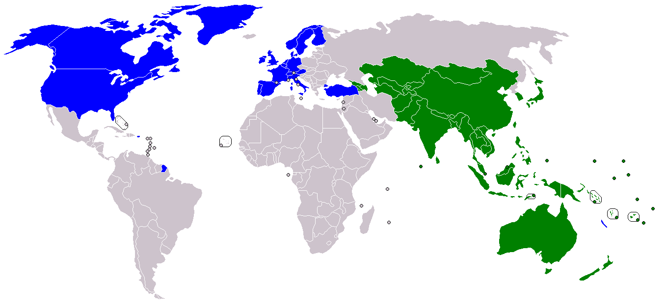
The Asian Development Bank (ADB) is a regional development bank established on 19 December 1966, which is headquartered in the Ortigas Center located in the city of Mandaluyong, Metro Manila, Philippines. The bank also maintains 31 field offices around the world to promote social and economic development in Asia. The bank admits the members of the United Nations Economic and Social Commission for Asia and the Pacific (UNESCAP, formerly the Economic Commission for Asia and the Far East or ECAFE) and non-regional developed countries. From 31 members at its establishment, ADB now has 68 members. The ADB was modeled closely on the World Bank, and has a similar weighted voting system where votes are distributed in proportion with members' capital subscriptions. ADB releases an annual report that summarizes its operations, budget and other materials for review by the public. The ADB-Japan Scholarship Program (ADB-JSP) enrolls about 300 students annually in academic institutions lo ... [...More Info...] [...Related Items...] OR: [Wikipedia] [Google] [Baidu] |


