|
La Fargeville, New York
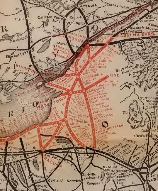
La Fargeville is a hamlet and census-designated place (CDP) in the town of Orleans in Jefferson County, New York, United States. The population was 608 at the 2010 census. The hamlet is named after John Frederick La Farge, one of the early proprietors of the town.Yarnall, James L. ''John La Farge: A Biographical and Critical Study''. Ashgate 2012. La Fargeville was once a village, but dissolved its municipal corporation in 1922. La Fargeville is north of Watertown. The small hamlet has one school, LaFargeville Central School, which serves Pre-K through 12th grade. La Fargeville Central School is ranked the 911th largest public school, 17,312th nationally, and has a total student population of 552. History The hamlet was previously called "Log Mills" when it was first settled around 1816, due to the construction of a sawmill for logs. John Frederick La Farge, a French immigrant who had Americanized his name from Jean Frédéric de la Farge, arrived in 1826. Already wealthy from ... [...More Info...] [...Related Items...] OR: [Wikipedia] [Google] [Baidu] |
Census-designated Place
A census-designated place (CDP) is a Place (United States Census Bureau), concentration of population defined by the United States Census Bureau for statistical purposes only. CDPs have been used in each decennial census since 1980 as the counterparts of incorporated places, such as self-governing city (United States), cities, town (United States), towns, and village (United States), villages, for the purposes of gathering and correlating statistical data. CDPs are populated areas that generally include one officially designated but currently unincorporated area, unincorporated community, for which the CDP is named, plus surrounding inhabited countryside of varying dimensions and, occasionally, other, smaller unincorporated communities as well. CDPs include small rural communities, Edge city, edge cities, colonia (United States), colonias located along the Mexico–United States border, and unincorporated resort and retirement community, retirement communities and their environs. ... [...More Info...] [...Related Items...] OR: [Wikipedia] [Google] [Baidu] |
Watertown (city), New York
Watertown is a city in, and the county seat of, Jefferson County, New York, United States. It is approximately south of the Thousand Islands, along the Black River about east of where it flows into Lake Ontario. The city is bordered by the town of Watertown to the south, east, and west, and is served by the Watertown International Airport and the ''Watertown Daily Times'' newspaper. In the middle of Watertown lies the Public Square Historic District, which was built in 1805 and listed on the National Register of Historic Places (NRHP) in 1984. Watertown is located southwest of the U.S. Army base at Fort Drum; it is the service and shopping destination for personnel there and their families. As of the 2020 United States Census, the city has 24,685 residents. The area was first surveyed in 1796, and was settled in March 1800 due to the abundant hydropower the Black River provided. The city was designated as the county seat of Jefferson County when it was split off from ... [...More Info...] [...Related Items...] OR: [Wikipedia] [Google] [Baidu] |
County Seat
A county seat is an administrative center, seat of government, or capital city of a county or civil parish. The term is in use in Canada, China, Hungary, Romania, Taiwan, and the United States. The equivalent term shire town is used in the US state of Vermont and in some other English-speaking jurisdictions. County towns have a similar function in the Republic of Ireland and the United Kingdom, as well as historically in Jamaica. Function In most of the United States, counties are the political subdivisions of a state. The city, town, or populated place that houses county government is known as the seat of its respective county. Generally, the county legislature, county courthouse, sheriff's department headquarters, hall of records, jail and correctional facility are located in the county seat, though some functions (such as highway maintenance, which usually requires a large garage for vehicles, along with asphalt and salt storage facilities) may also be located or conducted ... [...More Info...] [...Related Items...] OR: [Wikipedia] [Google] [Baidu] |
Clayton (village), New York
Clayton is a village in the town of Clayton in Jefferson County, New York, United States. The village population was 1,978 at the 2010 census. Clayton is the home of the Antique Boat Museum and Clayton Opera House. The village is a summer resort, offering galleries, boutiques and quality services to summer visitors. History The area was originally inhabited by Algonquian tribes, but they were driven out by the Iroquois. Radiocarbon dating of a nearby dig site indicated Clayton was once home to a 2-3 long house, 180 person palisade ringed habitation, ''circa'' 1470. The community was formerly called "French Creek" and "Cornelia". By 1853, the population was 426. Clayton incorporated as a village, by vote of its citizens, in 1872. The arrival of the railroad in 1873 marked a major turning point in the local tourist industry. The Clayton Historic District and Capt. Simon Johnston House are listed on the National Register of Historic Places. Geography According to the United ... [...More Info...] [...Related Items...] OR: [Wikipedia] [Google] [Baidu] |
Theresa (village), New York
Theresa (, ) is a village in the town of Theresa in Jefferson County, New York, United States. The population was 863 at the 2010 census. The village is northeast of Watertown. History The village was planned as early as 1818 at the high falls on the Indian River. The first business at this location was started in 1820, and a post office was established there in 1822. Theresa was incorporated as a village in 1871. Geography According to the United States Census Bureau, the village has a total area of , of which , or 4.64%, are water. The Indian River, part of the Oswegatchie River watershed, flows northward through the village. The village is located on New York State Route 26 (Main Street and Mill Street) and on County Roads 21, 46, 193, and 194. Route 26 leads northwest to Alexandria Bay and southeast to Philadelphia. Watertown, the Jefferson county seat, is to the south. Demographics As of the census of 2000, there were 812 people, 308 households, and 211 famili ... [...More Info...] [...Related Items...] OR: [Wikipedia] [Google] [Baidu] |
Interstate 81
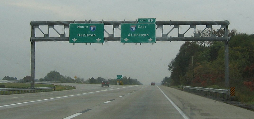
Interstate 81 (I-81) is a north–south (physically northeast–southwest) Interstate Highway in the eastern part of the United States. Its southern terminus is at I-40 in Dandridge, Tennessee; its northern terminus is on Wellesley Island, New York at the Canadian border, where the Thousand Islands Bridge connects it to Highway 137 and ultimately to Highway 401, the main Ontario freeway connecting Detroit via Toronto to Montreal. The major metropolitan areas along the route of I-81 include the Tri-Cities of Tennessee; Roanoke in Virginia; Harrisburg and the Wyoming Valley in Pennsylvania; and Syracuse in New York. I-81 largely traces the paths created down the length of the Appalachian Mountains through the Great Appalachian Valley by migrating animals, indigenous peoples, and early settlers. It also follows a major corridor for troop movements during the Civil War. These trails and roadways gradually evolved into US Route 11 (US 11); I-81 para ... [...More Info...] [...Related Items...] OR: [Wikipedia] [Google] [Baidu] |
Black River (New York)
The Black River is a blackwater river that empties into the eastern end of Lake Ontario on the shore of Jefferson County, New York in the United States. The origin of the name is not clear, but it may stem from the natural tannic acid that darkens the water in places. The river flows in a generally northwest direction, with its valley dividing the Adirondack Mountains on the east from the Tug Hill region to the west. Course The Black River originates at North Lake in the foothills of the Adirondacks, in Herkimer County, about east of Boonville. The river flows west into Oneida County then north, past Forestport and Boonville into Lewis County. At Lyons Falls, it is joined by the Moose River from the east just above the eponymous waterfall, where the river drops over a gneiss cliff. Near Glenfield the Black River receives the smaller tributaries of Otter Creek and the Independence River, also from the east. Further north, it passes Lowville, then receives the Beave ... [...More Info...] [...Related Items...] OR: [Wikipedia] [Google] [Baidu] |
Dexter, New York
Dexter is a village in Jefferson County, New York, United States. The population was 1,052 at the 2010 census. The name is derived from Simon Newton Dexter, one of the village's stockholders. Dexter is in the southern part of the town of Brownville and is west of Watertown. History The village was formerly called Fish Island and was part of the lands belonging to Jacob and John Brown. The village was renamed Dexter after Simon Newton Dexter. Dexter became an incorporated village in 1855, with a population of about 528. The Dexter Universalist Church was listed on the National Register of Historic Places in 2003. Geography Dexter is located in west-central Jefferson County at , in the southern part of the town of Brownville. According to the United States Census Bureau, the village has a total area of , of which are land and , or 8.39%, are water. The village is adjacent to the Black River, near Black River Bay, an arm of Lake Ontario. The village is bordered to the south ... [...More Info...] [...Related Items...] OR: [Wikipedia] [Google] [Baidu] |
Fishers Landing, New York
Fishers Landing is a hamlet and census-designated place (CDP) in the town of Orleans in Jefferson County, New York, United States. It is just southwest of Grass Point State Park in the Thousand Islands region of New York. As of the 2010 census the community had a population of 89. Geography Fishers Landing is in the northern part of the town of Orleans, on the south bank of the St. Lawrence River where it enters the American Narrows, a channel separating the mainland from Wellesley Island (also part of the town of Orleans). There is a local marina where island owners and visitors park their car/boat while traveling to and from the mainland. The Rock Island Light, a New York state park, is out in the channel from Fishers Landing, and the community of Thousand Island Park is directly across the channel on Wellesley Island. New York State Route 12 passes along the southeast edge of the Fishers Landing CDP, leading northeast (downstream along the St. Lawrence) to Interstate 81 ... [...More Info...] [...Related Items...] OR: [Wikipedia] [Google] [Baidu] |
New York State Route 411
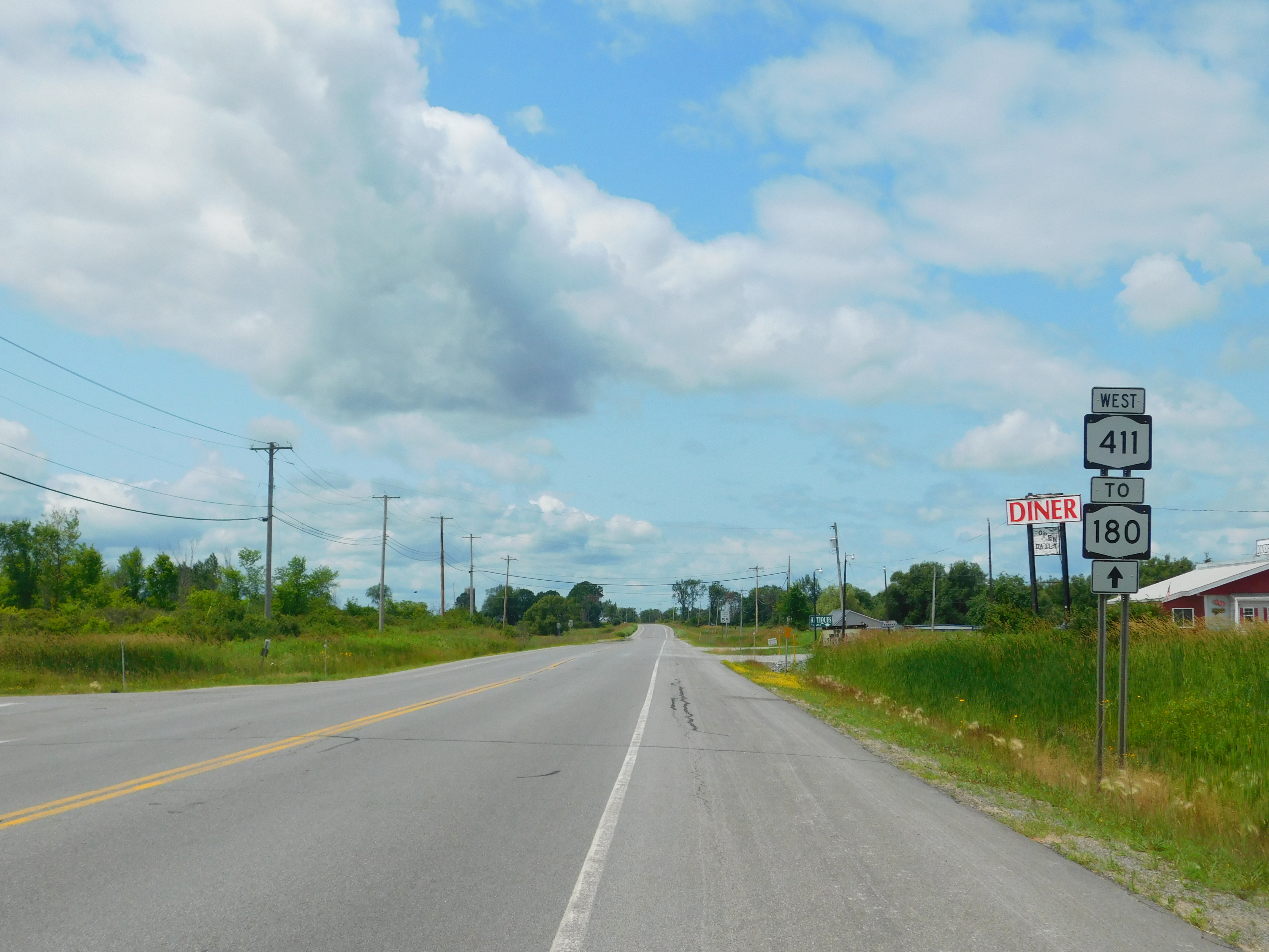
New York State Route 411 (NY 411) is an east–west state highway in Jefferson County, New York, in the United States. The western terminus of the route is at an intersection with NY 180 in the community of La Fargeville in the town of Orleans. Its eastern terminus is at a junction with NY 37 in the adjacent town of Theresa just west of the village of Theresa. Route description NY 411 begins at an intersection with NY 180 (Main and Clayton Streets) in the hamlet of La Fargeville (within the town of Orleans). NY 411 proceeds north on Main Street as a two-lane residential street through La Fargeville. The route quickly bends westward along Plank Road, passing south of Can-Am Speedway as a two-lane rural roadway through Orleans. NY 411 crosses over the Chaumont River as the route bends southeast into the hamlet of Orleans Corners. In Orleans Corners, NY 411 passes several homes and through an intersection with County Route 15 ... [...More Info...] [...Related Items...] OR: [Wikipedia] [Google] [Baidu] |
New York State Route 180
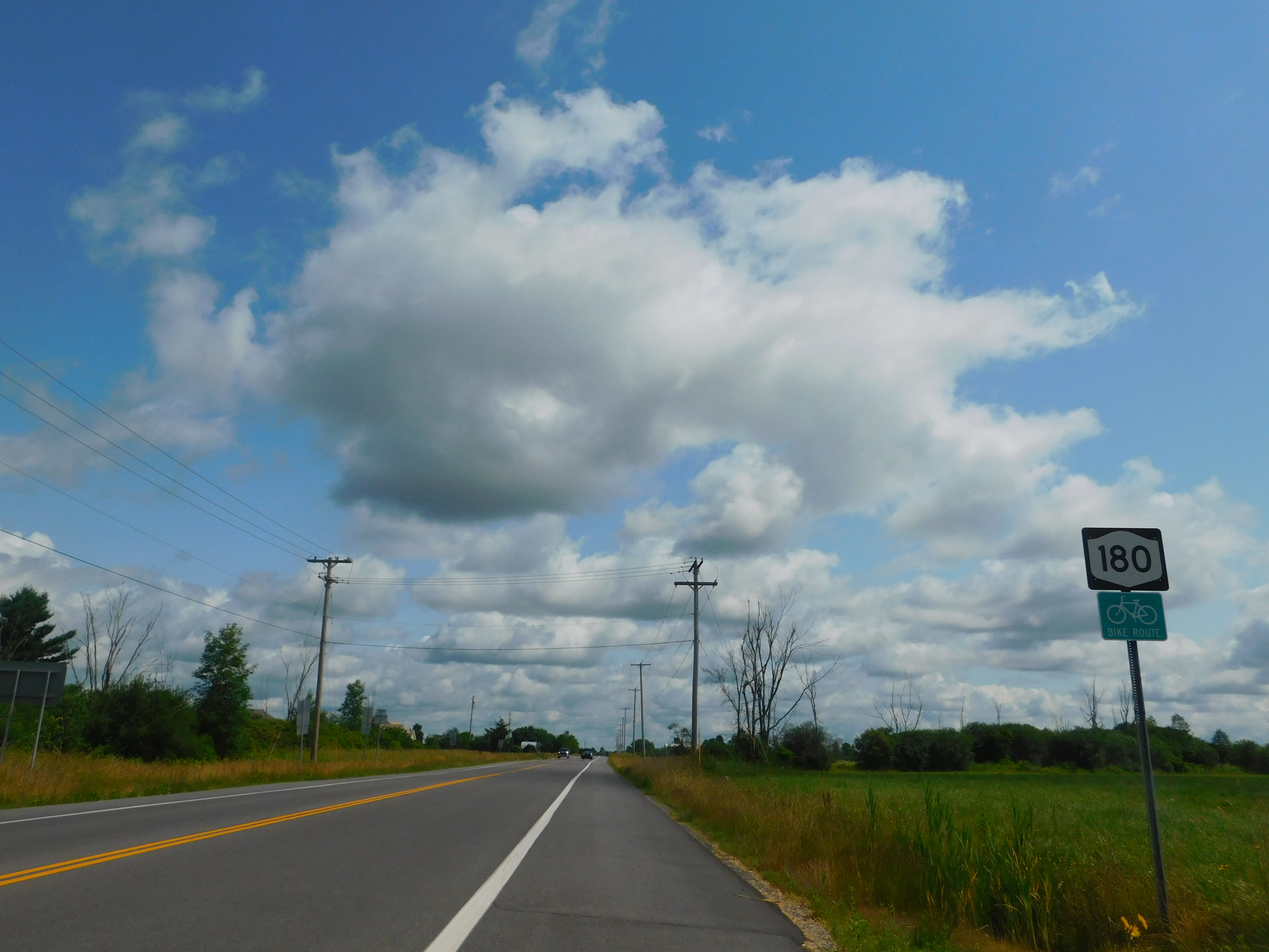
New York State Route 180 (NY 180) is a north–south state highway in the northwestern part of Jefferson County in the U.S. state of New York. The southern terminus of the route is at NY 3 in the Hounsfield hamlet of Baggs Corner, located west of downtown Watertown. The northern terminus is at NY 12 in the Orleans hamlet of Fishers Landing. NY 180 is part of the Seaway Trail from its southern terminus at Baggs Corner to its junction with NY 12E at the Brownville hamlet of Limerick. Route description NY 180 begins at an intersection with NY 3 in the Hounsfield hamlet of Baggs Corner. A state-maintained continuation of County Route 66 (CR 66), NY 180 runs northeast through the wide fields of Hounsfield, passing east of the Black River Bay, and after bending north, the route passes west of Watertown International Airport. NY 180 soon meets at a junction with NY 12F, which runs east past the entrance of ... [...More Info...] [...Related Items...] OR: [Wikipedia] [Google] [Baidu] |
United States Census Bureau
The United States Census Bureau (USCB), officially the Bureau of the Census, is a principal agency of the U.S. Federal Statistical System, responsible for producing data about the American people and economy. The Census Bureau is part of the U.S. Department of Commerce and its director is appointed by the President of the United States. The Census Bureau's primary mission is conducting the U.S. census every ten years, which allocates the seats of the U.S. House of Representatives to the states based on their population. The bureau's various censuses and surveys help allocate over $675 billion in federal funds every year and it assists states, local communities, and businesses make informed decisions. The information provided by the census informs decisions on where to build and maintain schools, hospitals, transportation infrastructure, and police and fire departments. In addition to the decennial census, the Census Bureau continually conducts over 130 surveys and p ... [...More Info...] [...Related Items...] OR: [Wikipedia] [Google] [Baidu] |
.jpg)


