|
Kāneʻohe Bay
Kāneohe Bay, at , is the largest sheltered body of water in the main Hawaiian Islands. This reef-dominated embayment constitutes a significant scenic and recreational feature along the northeast coast of the Island of Oahu. The largest population center on Kāneohe Bay is the town of Kāneohe. The Bay is approximately long and wide, with a mouth opening of about wide and a maximum depth of in the dredged channel. It has one of the two barrier reefs in the archipelago, the other being the barrier reef of Molokai island, and also has extensive development of shoaling coral reefs within a large lagoon. Two navigable channels cut across the northern and southern ends of the barrier reef. The deeper, northern channel, located off Kualoa Regional Park, provides entrance from the North Pacific Ocean to a ship channel dredged the length of the lagoon between 1939 and 1945. The lagoon contains extensive patch and fringing reefs and its southern end is partly enclosed by the ... [...More Info...] [...Related Items...] OR: [Wikipedia] [Google] [Baidu] |
Coconut Island (Oahu Island)
Coconut Island, or Moku o Loe, is a 28- acre (113,000 m²) island in Kāneʻohe Bay off the island of Oʻahu in the state of Hawaiʻi, United States. It is a marine research facility of the Hawaiʻi Institute of Marine Biology (HIMB) of the University of Hawaiʻi. History In 1934–1936, Chris Holmes II, an heir to the Fleischmann yeast fortune, doubled the original island with coral rubble, sand, and earthen landfill. He established a residence with aquaria, kennels, and aviaries for his many pets. The island was converted to a rest and relaxation station for United States Navy flyers during World War II. In 1946 a group of five Los Angeles businessmen, including Edwin W. Pauley, bought the island from the estate of Chris Holmes II with the idea of converting it to the exclusive Coconut Island Club International, 1946-7, and hired architects Paul Williams, A. Quincy Jones, and C.W. Lemmon of Belt Lemmon and Lo, Architects of Honolulu to design a community of cottages, t ... [...More Info...] [...Related Items...] OR: [Wikipedia] [Google] [Baidu] |
Kāneʻohe Bay
Kāneohe Bay, at , is the largest sheltered body of water in the main Hawaiian Islands. This reef-dominated embayment constitutes a significant scenic and recreational feature along the northeast coast of the Island of Oahu. The largest population center on Kāneohe Bay is the town of Kāneohe. The Bay is approximately long and wide, with a mouth opening of about wide and a maximum depth of in the dredged channel. It has one of the two barrier reefs in the archipelago, the other being the barrier reef of Molokai island, and also has extensive development of shoaling coral reefs within a large lagoon. Two navigable channels cut across the northern and southern ends of the barrier reef. The deeper, northern channel, located off Kualoa Regional Park, provides entrance from the North Pacific Ocean to a ship channel dredged the length of the lagoon between 1939 and 1945. The lagoon contains extensive patch and fringing reefs and its southern end is partly enclosed by the ... [...More Info...] [...Related Items...] OR: [Wikipedia] [Google] [Baidu] |
Kamehameha Highway
Kamehameha Highway is one of the main highways serving suburban and rural O‘ahu in the U.S. state of Hawai‘i. Informally known as Kam Highway, it begins at Nimitz Highway near Pearl Harbor and Hickam Air Force Base in Honolulu, serves the island's older western suburbs, and turns north across the O‘ahu Central Valley to the North Shore. At the North Shore, Kamehameha Highway heads northeast around the northern tip of O‘ahu, then southeast to and just beyond Kāne‘ohe Bay on the windward coast. The road was named after King Kamehameha I. A short detached segment of the Kamehameha Highway exists for a few blocks in the Honolulu neighborhood of Kalihi. This segment runs as a short extension of Dillingham Boulevard from Pu‘uhale Road (near the O‘ahu Community Correctional Center) to exit 18B on Interstate H-1. This section was contiguous with the rest of the highway before the construction of the H-1 viaduct. Route description Route 99 (Honolulu to Hale‘iwa) ... [...More Info...] [...Related Items...] OR: [Wikipedia] [Google] [Baidu] |
Landslide
Landslides, also known as landslips, are several forms of mass wasting that may include a wide range of ground movements, such as rockfalls, deep-seated slope failures, mudflows, and debris flows. Landslides occur in a variety of environments, characterized by either steep or gentle slope gradients, from mountain ranges to coastal cliffs or even underwater, in which case they are called submarine landslides. Gravity is the primary driving force for a landslide to occur, but there are other factors affecting slope stability that produce specific conditions that make a slope prone to failure. In many cases, the landslide is triggered by a specific event (such as a heavy rainfall, an earthquake, a slope cut to build a road, and many others), although this is not always identifiable. Causes Landslides occur when the slope (or a portion of it) undergoes some processes that change its condition from stable to unstable. This is essentially due to a decrease in the shear stren ... [...More Info...] [...Related Items...] OR: [Wikipedia] [Google] [Baidu] |
On Stranger Tides
''On Stranger Tides'' is a 1987 historical fantasy novel by American writer Tim Powers. It was nominated for the World Fantasy Award for Best Novel, and placed second in the annual Locus poll for best fantasy novel. ''On Stranger Tides'' takes place during the Golden Age of Piracy. It features real historical figures like Blackbeard, Stede Bonnet, and Woodes Rogers alongside fictional ones, as actors in the fictional John Chandagnac's quest to reclaim his inheritance and rescue an Englishwoman. Vodun magic is an important plot device. The story was also the inspiration for the ''Monkey Island'' video game series by LucasArts and for the fourth installment in the '' Pirates of the Caribbean'' film series, '' Pirates of the Caribbean: On Stranger Tides''. Plot In 1718, French puppeteer John Chandagnac sails to Jamaica on the British ship ''Vociferous Carmichael''. He aims to confront his uncle Sebastian, who has apparently stolen a fortune that rightfully belonged to John's f ... [...More Info...] [...Related Items...] OR: [Wikipedia] [Google] [Baidu] |
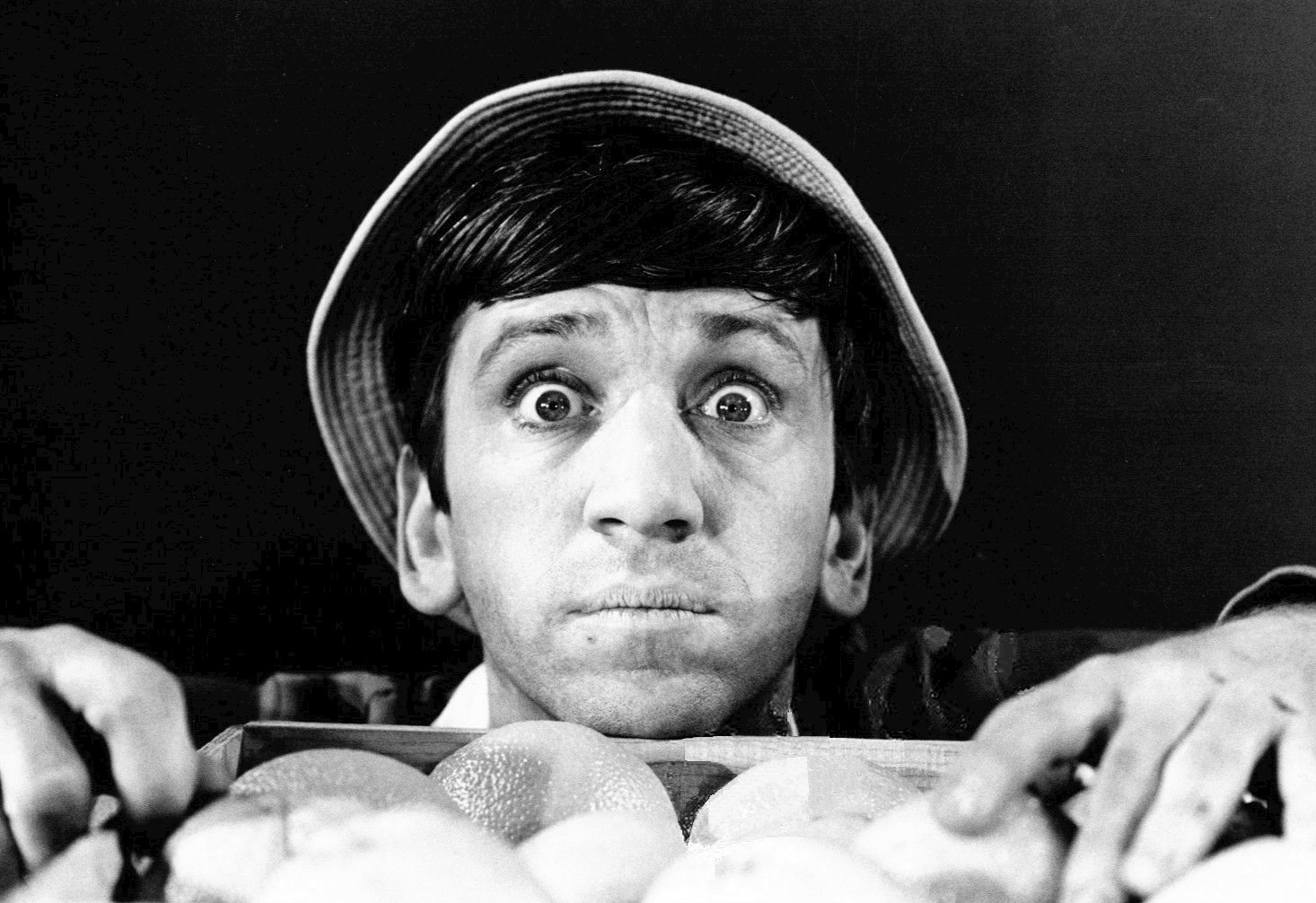
Gilligan's Island
''Gilligan's Island'' is an American sitcom created and produced by Sherwood Schwartz. The show's ensemble cast features Bob Denver, Alan Hale Jr., Jim Backus, Natalie Schafer, Tina Louise, Russell Johnson and Dawn Wells. It aired for three seasons on the CBS network from September 26, 1964, to April 17, 1967. The series follows the comic adventures of seven castaways as they try to survive on an island where they are shipwrecked. Most episodes revolve around the dissimilar castaways' conflicts and their unsuccessful attempts to escape their plight, with Gilligan usually being responsible for the failures. ''Gilligan's Island'' ran for 98 episodes. All 36 episodes of the first season were filmed in black and white and were later colorized for syndication. The show's second and third seasons (62 episodes) and the three television film sequels (aired between 1978 and 1982) were filmed in color. The show received solid ratings during its original run, then grew in popularit ... [...More Info...] [...Related Items...] OR: [Wikipedia] [Google] [Baidu] |
Television Program
Television, sometimes shortened to TV, is a telecommunication medium for transmitting moving images and sound. The term can refer to a television set, or the medium of television transmission. Television is a mass medium for advertising, entertainment, news, and sports. Television became available in crude experimental forms in the late 1920s, but only after several years of further development was the new technology marketed to consumers. After World War II, an improved form of black-and-white television broadcasting became popular in the United Kingdom and the United States, and television sets became commonplace in homes, businesses, and institutions. During the 1950s, television was the primary medium for influencing public opinion.Diggs-Brown, Barbara (2011''Strategic Public Relations: Audience Focused Practice''p. 48 In the mid-1960s, color broadcasting was introduced in the U.S. and most other developed countries. The availability of various types of archival stora ... [...More Info...] [...Related Items...] OR: [Wikipedia] [Google] [Baidu] |
University Of Hawaii
A university () is an institution of higher (or tertiary) education and research which awards academic degrees in several academic disciplines. Universities typically offer both undergraduate and postgraduate programs. In the United States, the designation is reserved for colleges that have a graduate school. The word ''university'' is derived from the Latin ''universitas magistrorum et scholarium'', which roughly means "community of teachers and scholars". The first universities were created in Europe by Catholic Church monks. The University of Bologna (''Università di Bologna''), founded in 1088, is the first university in the sense of: *Being a high degree-awarding institute. *Having independence from the ecclesiastic schools, although conducted by both clergy and non-clergy. *Using the word ''universitas'' (which was coined at its foundation). *Issuing secular and non-secular degrees: grammar, rhetoric, logic, theology, canon law, notarial law.Hunt Janin: "The university ... [...More Info...] [...Related Items...] OR: [Wikipedia] [Google] [Baidu] |
Hawaii
Hawaii ( ; haw, Hawaii or ) is a state in the Western United States, located in the Pacific Ocean about from the U.S. mainland. It is the only U.S. state outside North America, the only state that is an archipelago, and the only state geographically located within the tropics. Hawaii comprises nearly the entire Hawaiian archipelago, 137 volcanic islands spanning that are physiographically and ethnologically part of the Polynesian subregion of Oceania. The state's ocean coastline is consequently the fourth-longest in the U.S., at about . The eight main islands, from northwest to southeast, are Niihau, Kauai, Oahu, Molokai, Lānai, Kahoolawe, Maui, and Hawaii—the last of these, after which the state is named, is often called the "Big Island" or "Hawaii Island" to avoid confusion with the state or archipelago. The uninhabited Northwestern Hawaiian Islands make up most of the Papahānaumokuākea Marine National Monument, the United States' largest protected area a ... [...More Info...] [...Related Items...] OR: [Wikipedia] [Google] [Baidu] |
Waikane, Hawaii
Waikāne or Waikane (), also known as North Koolaupoko (), is an area and census-designated place in the County of Honolulu, Hawaii, United States, on the island of Oahu. It had a population of 778 at the 2010 census. In Hawaiian, ''koolau poko'' means "short windward", referring to the fact that this is the shorter of the two windward districts on the island (''Koolauloa'' or "long windward" is the other). Koolaupoko extends from Makapuu Point on the southeast to Kaōio Point on the north. Included within the district, south of North Koolaupoko, are the largest windward towns of Kāneohe, Kailua, and Waimānalo. Waikāne lies mostly along the coastline of Kāneohe Bay and consists of several lush valleys that extend inland to the steep face of the Koolau ''pali'' (cliff). The first valley north of Kahaluu is Waiāhole. Next is Waikāne, then Hakipuu, and northernmost is Kualoa. This area differs from the towns, valleys, and ''ahupuaa'' of the southern part of Koolaupok ... [...More Info...] [...Related Items...] OR: [Wikipedia] [Google] [Baidu] |
Kualoa Airfield
Kualoa Airfield is a former wartime airfield on Oahu, Hawaii. Part of it is now the Kualoa Regional Park Kualoa Regional Park is located at Kāneʻohe Bay, on the island of Oahu in the U.S. state of Hawaii. The park covers across the road from the Pali-ku (cliffs) of the Koʻolau Range. The beach front is white sand and 1/3 mile offshore is the smal .... See also * Hawaii World War II Army Airfields References External links * Kualoa Regional Park- official site {{authority control Airfields of the United States Army Air Forces in Hawaii History of Oahu Defunct airports in Hawaii 1942 establishments in Hawaii 1945 disestablishments in Hawaii ... [...More Info...] [...Related Items...] OR: [Wikipedia] [Google] [Baidu] |


