|
Karasjohka
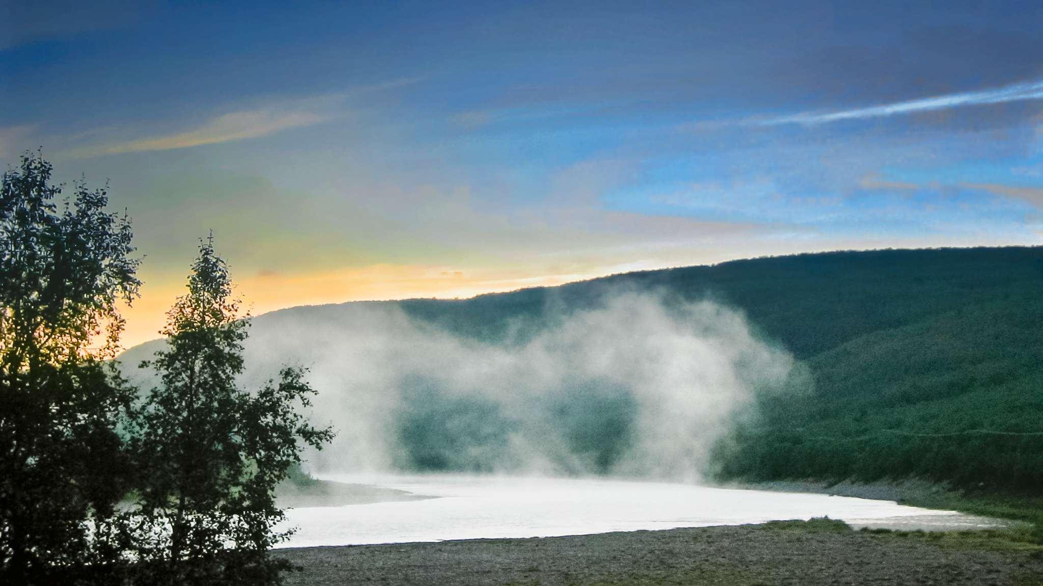
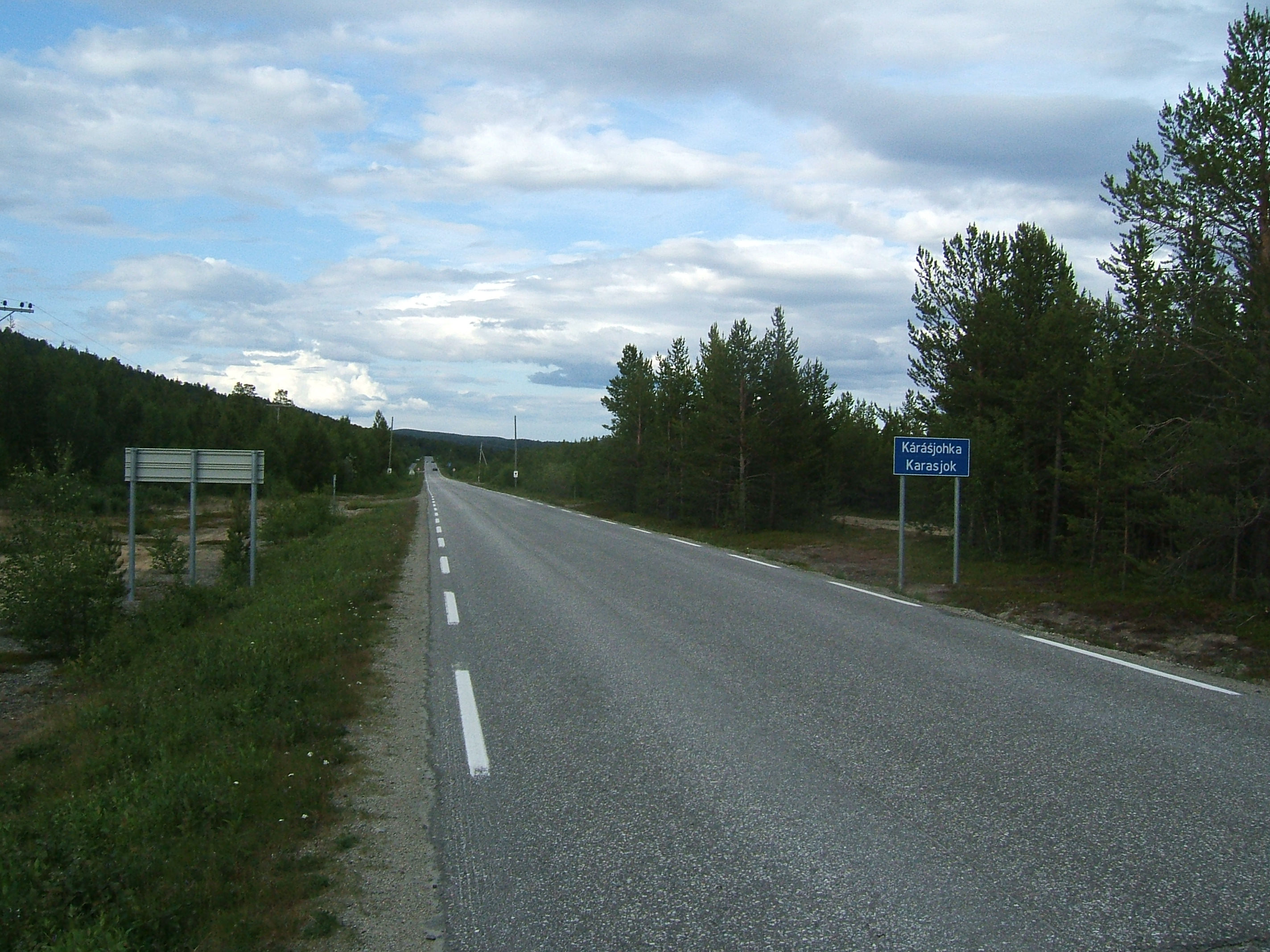
or is a river in Troms og Finnmark county, Norway. The long river runs through Kautokeino Municipality and Karasjok Municipality. The river is one of the most important rivers that drains the Finnmarksvidda plateau. It flows into the famous salmon-fishing Tana River near the Finnish village of Karigasniemi on the Norway-Finland border. The river begins at the small Norwegian lake of Nuorttit Rávdojávri which lies inside the Øvre Anárjohka National Park, just inside the border with Finland. The river begins high on the Finnmarksvidda plateau and then flows north through Kautokeino and Karasjok municipalities. About west of the village of Karasjok, the river turns and heads to the east. At its confluence with the river Anarjohka, the two rivers form the Tana River. The Karasjohka river drains a watershed of . The European route E06 European route E6 ( no, Europavei 6, sv, Europaväg 6, or simply E6) is the main north-south thoroughfare through Norway as well as ... [...More Info...] [...Related Items...] OR: [Wikipedia] [Google] [Baidu] |
Tana River (Norway)
The Tana ( fi, Teno or ; sme, Deatnu ; no, Tana/Tanaelva; sv, Tana älv) is a long river in the Sápmi area of northern Fennoscandia. The river flows through Troms og Finnmark county, Norway and the Lapland region of Finland. The Sámi name means "Great River". The main tributaries of Tana are Anarjohka and Karasjohka. Geography In its upper course it runs for along the Finnish–Norwegian border, between the municipalities of Utsjoki, Finland and Karasjok and Tana, Norway. The river is the fifth longest in Norway. The last of the river run through the municipality of Tana in Norway. The river discharges into the Tanafjorden, one of the largest and most unspoiled river deltas in Europe. The delta is protected and is an important home to wetland birds. There are large deposits of sand in the delta that are exposed sandbars at low tide. Fishing In 2022, authorities in Norway and in Finland will not permit salmon fishing (in the river).https://www.nrk.no/vestland/no-st ... [...More Info...] [...Related Items...] OR: [Wikipedia] [Google] [Baidu] |
Karasjok Municipality
( se, Kárášjohka ; fkv, Kaarasjoki) is a municipality in Troms og Finnmark county, Norway. The administrative centre of the municipality is the village of Karasjok. Other villages include Dorvonjárga, Šuoššjávri, and Váljohka. The municipality is the second largest by area out of the 356 municipalities in Norway. Karasjok is the 247th most populous municipality in Norway with a population of 2,584. The municipality's population density is and its population has decreased by 6.6% over the previous 10-year period. Wildlife: 16 bears are in the municipality (as of Q4 2022). General information The municipality of Karasjok was established on 1 January 1866 when it was separated from the old Kistrand municipality. Initially, the population of Karasjok was 515. The municipal borders have not changed since that time. On 1 January 2020, the municipality became part of the newly formed Troms og Finnmark county. Previously, it had been part of the old Finnmark county. ... [...More Info...] [...Related Items...] OR: [Wikipedia] [Google] [Baidu] |
Karasjok
( se, Kárášjohka ; fkv, Kaarasjoki) is a municipality in Troms og Finnmark county, Norway. The administrative centre of the municipality is the village of Karasjok. Other villages include Dorvonjárga, Šuoššjávri, and Váljohka. The municipality is the second largest by area out of the 356 municipalities in Norway. Karasjok is the 247th most populous municipality in Norway with a population of 2,584. The municipality's population density is and its population has decreased by 6.6% over the previous 10-year period. Wildlife: 16 bears are in the municipality (as of Q4 2022). General information The municipality of Karasjok was established on 1 January 1866 when it was separated from the old Kistrand municipality. Initially, the population of Karasjok was 515. The municipal borders have not changed since that time. On 1 January 2020, the municipality became part of the newly formed Troms og Finnmark county. Previously, it had been part of the old Finnmark county. ... [...More Info...] [...Related Items...] OR: [Wikipedia] [Google] [Baidu] |
Anarjohka
Anarjohka ( se, Anárjohka, no, Anarjokka or ''Anarjohka'', fi, Inarijoki, sv, Enare älv) is a tributary of Tana River. It is about long, with a drainage area of about .NVE Atlas '''' The mean discharge at the mouth is about . The lower part of the river runs along the Finnish–Norwegian border. The border continues along Anarjohkas tributary [...More Info...] [...Related Items...] OR: [Wikipedia] [Google] [Baidu] |
Karigasniemi
Karigasniemi ( se, Gáregasnjárga) is a village in the municipality of Utsjoki in Finland. It lies at the foot of Mount Ailigás. The village is situated on the border between Norway and Finland south-east of the Norwegian village of Karasjok. It lies on the banks of the river Inarijoki (Anarjohka), which, downstream of Karigasniemi, joins the river Karasjohka to form the famous salmon fishing river Tana. Karigasniemi lies on the road between the Finnish town of Ivalo and Lakselv in Norway. Karigasniemi is home to about 300 people, of which more than half are Sámi. There are one grocery store, two petrol stations and three bars and restaurants, mostly because of a lot of border traffic from the Norwegian side. There is also, a school and a small health care center in the village. Karigasniemi is also a junction point where travellers can choose the road to Nordkapp or other places at the Arctic Ocean The Arctic Ocean is the smallest and shallowest of the wor ... [...More Info...] [...Related Items...] OR: [Wikipedia] [Google] [Baidu] |
Karasjok (village)
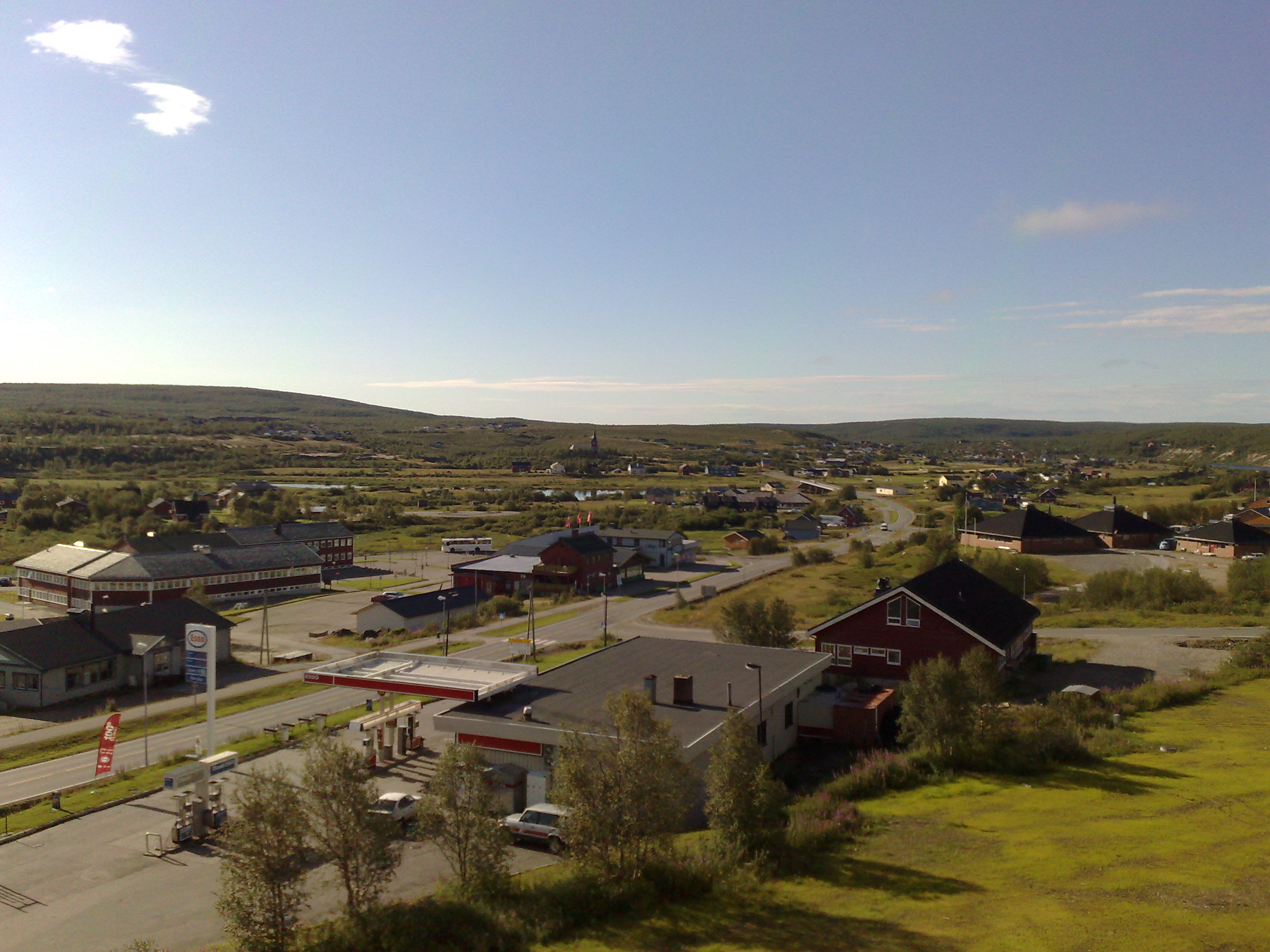
, , or is the administrative centre of Karasjok Municipality in Troms og Finnmark county, Norway. The village is located along both sides of the Karasjohka river, just west of the Norway-Finland border. The European route E06 highway runs through the village on its way from Lakselv to Tana bru and Kirkenes. The village has a population (2017) of 1,844 which gives the village a population density of . The village is an important centre in the municipality and region. About 2/3 of the municipal population lives in the village. The Sami Parliament of Norway is located in the village. It acts as an institution of cultural autonomy for the indigenous Sami people in Norway. The Old Karasjok Church and the newer Karasjok Church are located in the village. The newer church is also the seat of the Indre Finnmark prosti (deanery) of the Church of Norway. History Prior to the beginning of the 1700s, there might not have been a permanent population there but the area was use ... [...More Info...] [...Related Items...] OR: [Wikipedia] [Google] [Baidu] |
Kautokeino Municipality
Kautokeino ( no, Kautokeino; se, Guovdageaidnu ; fkv, Koutokeino; fi, Koutokeino) is a municipality in Troms og Finnmark county, Norway. The administrative centre of the municipality is the village of Guovdageaidnu/Kautokeino. Other villages include Láhpoluoppal and Máze. The municipality is the largest by area out of the 356 municipalities in Norway. Kautokeino is the 235th most populous municipality in Norway with a population of 2,877. The municipality's population density is and its population has decreased by 1.7% over the previous 10-year period. Guovdageaidnu-Kautokeino is one of two cultural centers of Northern Sápmi today (the other being Kárášjohka-Karasjok). The most significant industries are reindeer herding, theatre/movie industry, and the public education system. Kautokeino is one of the coldest places in the Nordics. General information The municipality of Kautokeino was established in 1851 when the southern part of the old Kistrand municipalit ... [...More Info...] [...Related Items...] OR: [Wikipedia] [Google] [Baidu] |
Kautokeino
Kautokeino ( no, Kautokeino; se, Guovdageaidnu ; fkv, Koutokeino; fi, Koutokeino) is a municipality in Troms og Finnmark county, Norway. The administrative centre of the municipality is the village of Guovdageaidnu/Kautokeino. Other villages include Láhpoluoppal and Máze. The municipality is the largest by area out of the 356 municipalities in Norway. Kautokeino is the 235th most populous municipality in Norway with a population of 2,877. The municipality's population density is and its population has decreased by 1.7% over the previous 10-year period. Guovdageaidnu-Kautokeino is one of two cultural centers of Northern Sápmi today (the other being Kárášjohka-Karasjok). The most significant industries are reindeer herding, theatre/movie industry, and the public education system. Kautokeino is one of the coldest places in the Nordics. General information The municipality of Kautokeino was established in 1851 when the southern part of the old Kistrand municipalit ... [...More Info...] [...Related Items...] OR: [Wikipedia] [Google] [Baidu] |
Rivers Of Troms Og Finnmark
A river is a natural flowing watercourse, usually freshwater, flowing towards an ocean, sea, lake or another river. In some cases, a river flows into the ground and becomes dry at the end of its course without reaching another body of water. Small rivers can be referred to using names such as creek, brook, rivulet, and rill. There are no official definitions for the generic term river as applied to geographic features, although in some countries or communities a stream is defined by its size. Many names for small rivers are specific to geographic location; examples are "run" in some parts of the United States, "burn" in Scotland and northeast England, and "beck" in northern England. Sometimes a river is defined as being larger than a creek, but not always: the language is vague. Rivers are part of the water cycle. Water generally collects in a river from precipitation through a drainage basin from surface runoff and other sources such as groundwater recharge, springs, ... [...More Info...] [...Related Items...] OR: [Wikipedia] [Google] [Baidu] |
European Route E06
European route E6 ( no, Europavei 6, sv, Europaväg 6, or simply E6) is the main north-south thoroughfare through Norway as well as the west coast of Sweden. It is long and runs from the southern tip of Sweden at Trelleborg, into Norway and through almost all of the country north to the Arctic Circle and Nordkapp. The route ends in Kirkenes close to the Russian border. Route From south to north, E6 runs through Trelleborg, Malmö, Helsingborg, Halmstad, Gothenburg, Svinesund in Sweden, before crossing the border at the Svinesund Bridge into Norway. It then passes Halden, Sarpsborg, Moss to the capital Oslo. North of this, it passes by Gardermoen, Hamar, Lillehammer, Dombås, Oppdal, Melhus to Trondheim. Beyond Trondheim, the E6 meets Stjørdal, Verdal, Steinkjer, Grong, Mosjøen, Mo i Rana, Saltdal, Fauske and Hamarøy towards Bognes, where there is a ferry crossing over the Tysfjorden to Skarberget. It then runs through on via Narvik, Setermoen, Nordkjosbotn, Sk ... [...More Info...] [...Related Items...] OR: [Wikipedia] [Google] [Baidu] |
Drainage Basin
A drainage basin is an area of land where all flowing surface water converges to a single point, such as a river mouth, or flows into another body of water, such as a lake or ocean. A basin is separated from adjacent basins by a perimeter, the '' drainage divide'', made up of a succession of elevated features, such as ridges and hills. A basin may consist of smaller basins that merge at river confluences, forming a hierarchical pattern. Other terms for a drainage basin are catchment area, catchment basin, drainage area, river basin, water basin, and impluvium. In North America, they are commonly called a watershed, though in other English-speaking places, "watershed" is used only in its original sense, that of a drainage divide. In a closed drainage basin, or endorheic basin, the water converges to a single point inside the basin, known as a sink, which may be a permanent lake, a dry lake, or a point where surface water is lost underground. Drainage basins are simi ... [...More Info...] [...Related Items...] OR: [Wikipedia] [Google] [Baidu] |
Confluence
In geography, a confluence (also: ''conflux'') occurs where two or more flowing bodies of water join to form a single channel. A confluence can occur in several configurations: at the point where a tributary joins a larger river (main stem); or where two streams meet to become the source of a river of a new name (such as the confluence of the Monongahela and Allegheny rivers at Pittsburgh, forming the Ohio); or where two separated channels of a river (forming a river island) rejoin at the downstream end. Scientific study of confluences Confluences are studied in a variety of sciences. Hydrology studies the characteristic flow patterns of confluences and how they give rise to patterns of erosion, bars, and scour pools. The water flows and their consequences are often studied with mathematical models. Confluences are relevant to the distribution of living organisms (i.e., ecology) as well; "the general pattern ownstream of confluencesof increasing stream flow and decreasing ... [...More Info...] [...Related Items...] OR: [Wikipedia] [Google] [Baidu] |


