|
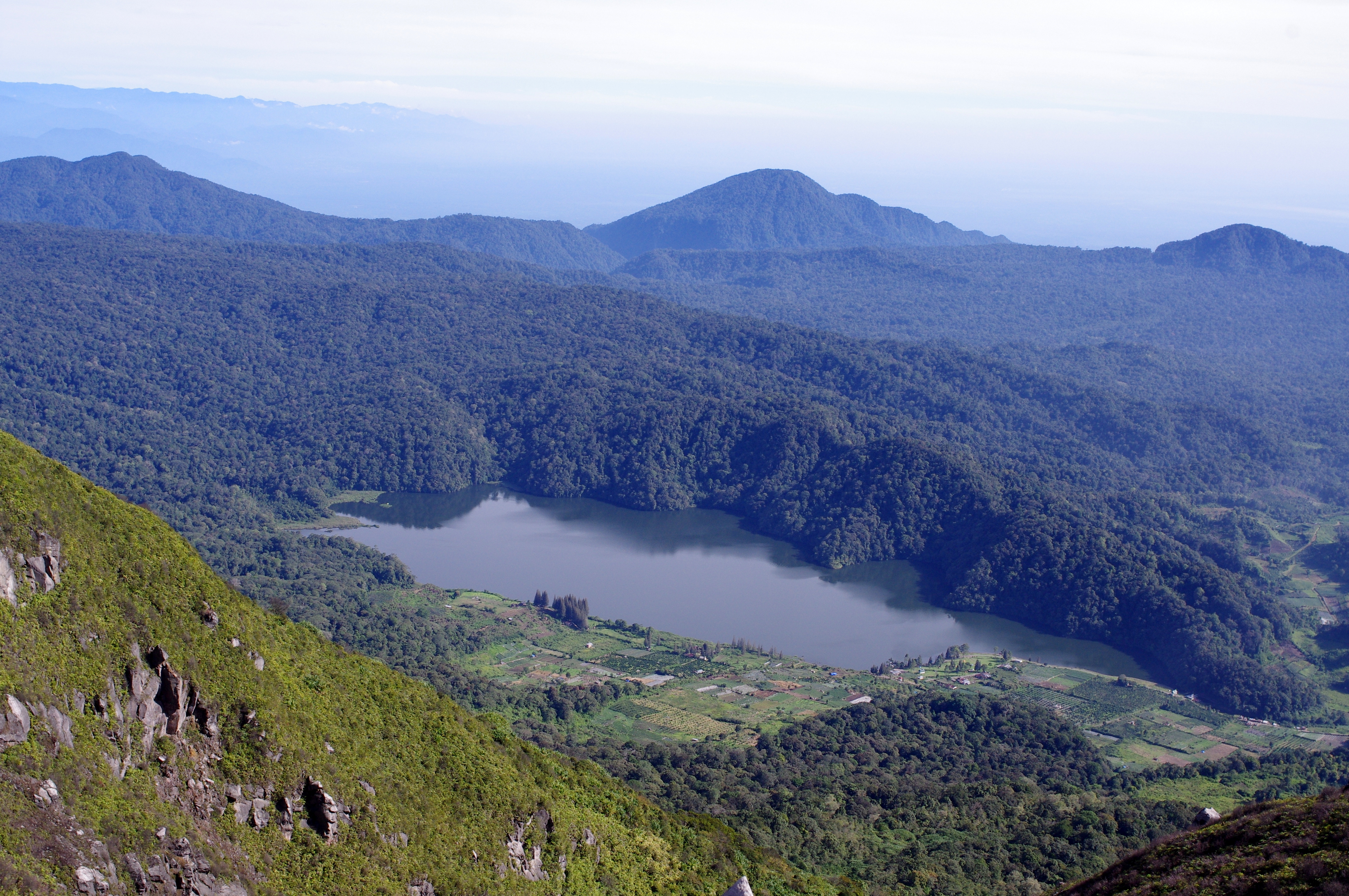
Karo Regency
Karo Regency is a landlocked regency of North Sumatra, Indonesia, situated in the Barisan Mountains. The regency covers an area of and according to the 2010 census it had a population of 350,479, increasing to 404,998 at the 2020 Census. 60.99% of the regency is forested. Its regency seat is Kabanjahe. The Batak Karo language is spoken in the regency, as well as the Indonesian language. It borders Southeast Aceh Regency in Aceh to the west, Deli Serdang Regency and Langkat Regency to the north, Dairi Regency and Toba Samosir Regency to the south, and Deli Serdang Regency and Simalungun Regency to the east. Economy The GDP per capita of Karo Regency in 2005 was 11.65 million rupiah, approximately US$1,200. 74% of the population work in agriculture, which comprises 60% of regional GDP. The second-largest sector is government, which comprises 11% of the regional GDP. Administrative divisions The regency is divided administratively into seventeen districts A district is ... [...More Info...] [...Related Items...] OR: [Wikipedia] [Google] [Baidu] |
Sipisopiso
The Sipiso-piso is a plunge waterfall in the Batak highlands of Sumatra, Indonesia. It is formed by a small underground river of the Karo plateau that falls from a cave in the side of caldera of Lake Toba, some down to lake level. Sipiso-piso is a well-known tourist attraction and a nearby vantage point offers views of the falls and lake. Sipiso-piso waterfall is located in the Tanah Karo regency in North Sumatra, at the northernmost tip of the Lake Toba caldera, near the fishing village of Tongging. The closest municipality is the town of Kabanjahe Kabanjahe is a town approximately 90 minutes from Medan, North Sumatra, Indonesia. Kabanjahe is to the south of Berastagi. Kabanjahe is the largest centre in Karo Regency. It has an area of 44.65 km2 and had a population of 73,581 at the 2020 ..., about away, References Landforms of Sumatra Waterfalls of Indonesia Landforms of North Sumatra Tourist attractions in North Sumatra {{NSumatra-geo-stub ... [...More Info...] [...Related Items...] OR: [Wikipedia] [Google] [Baidu] |
Langkat Regency
Langkat Regency ( id, Kabupaten Langkat) is the northernmost regency of North Sumatra. Its seat is Stabat. Its area is 6,263.29 km2 and its population was 967,535 at the 2010 Census and 1,030,202 at the 2020 Census.Badan Pusat Statistik, Jakarta, 2021. The official estimate as at mid 2021 was 1,034,519. Immediately to the south is Karo Regency, to the east is Deli Serdang Regency (which surrounds the city of Medan) and the city of Binjai (formerly part of Langkat Regency), to the north lies the Strait of Malacca and to the west lies Aceh Province. Administrative districts Langkat Regency is divided into twenty-three administrative districts (Indonesian Indonesian is anything of, from, or related to Indonesia, an archipelagic country in Southeast Asia. It may refer to: * Indonesians, citizens of Indonesia ** Native Indonesians, diverse groups of local inhabitants of the archipelago ** Indonesia ...: '' kecamatan''), tabulated below with their areas and their populatio ... [...More Info...] [...Related Items...] OR: [Wikipedia] [Google] [Baidu] |
Munte (Karo Regency) (North Sumatra)
* Munte (Netherlands), a river located in the province of Groningen; see List of rivers of the Netherlands
{{geodis ...
Munte may refer to: * Munte (Belgium), part of the Belgian municipality of Merelbeke * Munte (Karo Regency), an Karo Karo may refer to: Ethnic groups * Karo people (East Africa), a group of tribes in East Africa * Karo people (Ethiopia), an ethnic group from Ethiopia * Karo people (Indonesia), the indigenous people of the Karo Plateau in North Sumatra Language ... [...More Info...] [...Related Items...] OR: [Wikipedia] [Google] [Baidu] |
Mardingding Subdistrict
Mardingding is an isolated district of Karo Regency in North Sumatra. It lies 95 kilometres by broken road from Kabanjahe, the administrative centre of the Regency. The condition of the roads are so poor that some residents have planted bananas and cassava in the roads. It is not to be confused with Lake Mardingding, or Mardinding village, in Tiganderket district. Mardinding district borders Babul Makmur, Southeast Aceh Regency to the west, Langkat Regency to the north, and Tigabinanga district to the east. There are twelve desa within Mardingding district: * Lau Solu, pop. 1,739 (2020 Census) * Kuta Pengkih, pop. 2,103 * Rimo Bunga, pop. 328 * Lau Mulgap, pop. 1,300 * Tanjung Pamah, pop. 907 * Mardingding (capital), pop. 3,941 (6,208 inclusive of Lau Gurut and Bukit Makmur) * Lau Kusumpat, pop. 1,348 * Bandar Purba, pop. 1,098 * Lau Pengulu, pop. 1,071 * Lau Pakam, pop. 3,852 * Lau Garut, pop. 1,424 * Bukit Makmur, pop. 843 Lau Pakam is on the border with Aceh, and lies 40& ... [...More Info...] [...Related Items...] OR: [Wikipedia] [Google] [Baidu] |
Districts Of Indonesia
The term ''district'', in the context of Indonesia, refers to the third-level administrative subdivision, below regency or city. The local term ' is used in the majority of Indonesian areas, except in Papua, West Papua, and the Special Region of Yogyakarta. The term ' is used in Papua and West Papua. In the Special Region of Yogyakarta, the term ''kapanewon'' is used for districts within the regencies, while the term ' is used for districts within Yogyakarta, the province's only city. According to Statistics Indonesia, there are a total of 7,252 districts in Indonesia as at 2019, subdivided into 83,820 administrative villages (rural ' and urban '). During the Dutch East Indies and early republic period, the term ''district'' referred to ''kewedanan'', a subdivision of regency, while ' was translated as ''subdistrict'' ( nl, onderdistrict). Following the abolition of ''kewedanan'', the term ''district'' began to be associated with ' which has since been directly administered ... [...More Info...] [...Related Items...] OR: [Wikipedia] [Google] [Baidu] |

