|
Jack Mytton Way
The Jack Mytton Way is a long distance footpath and bridleway for horseriders, hillwalkers and mountain bikers in mid and south Shropshire, England. It typically takes a week to ride on horseback. For much of its length it passes through the Shropshire Hills AONB and includes parts of Wenlock Edge. It passes over the Clee Hills, and through the towns of Cleobury Mortimer, Church Stretton, Clun and Much Wenlock, passing close to Bridgnorth, Broseley and Highley. The south-west end is at Llanfair Waterdine. East of Roman Bank, it forms a loop. It is named after John Mytton (1796–1834), also known as Mad Jack, a Shropshire landowner, MP, horseman, foxhunter, gambler and Regency A regent (from Latin : ruling, governing) is a person appointed to govern a state '' pro tempore'' (Latin: 'for the time being') because the monarch is a minor, absent, incapacitated or unable to discharge the powers and duties of the monarchy ... rake. References External links ... [...More Info...] [...Related Items...] OR: [Wikipedia] [Google] [Baidu] |
Cleobury Mortimer
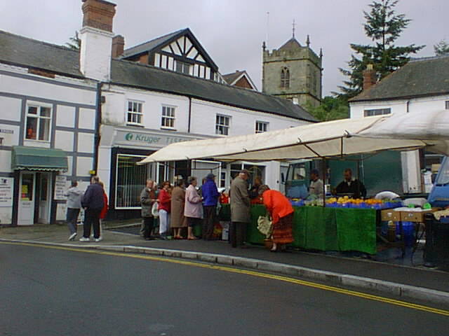
Cleobury Mortimer (, ) is a market town and civil parish in southeast Shropshire, England, which had a population of 3,036 at the 2011 census. It was granted a market charter by Henry III in 1226.''Rotuli Litterarum Clausarum in Turri Londinensi asservati'',volume II, London:Eyre and Spottiswoode, 1844, pp.103, 126, 198 History The name is believed to derive from the contraction of the Old English meaning a steep place and ''bury'' meaning fortified settlement. Mortimer comes from Ranulph de Mortimer of Normandy to whom the land was granted after the Norman conquest. He founded the Mortimer dynasty of Marcher Lords who held power in the Welsh Marches throughout the Middle Ages and were closely involved with power struggles with successive English monarchs and other powerful Lords. Cleobury has a significant entry in the Domesday Book, and the vicinity was the location of at least two castles. Cleobury Castle, which was situated near St Mary's Church, was destroyed in 1155 a ... [...More Info...] [...Related Items...] OR: [Wikipedia] [Google] [Baidu] |
AONB
An Area of Outstanding Natural Beauty (AONB; , AHNE) is an area of countryside in England, Wales, and Northern Ireland, that has been designated for conservation due to its significant landscape value. Areas are designated in recognition of their national importance by the relevant public body: Natural England, Natural Resources Wales, and the Northern Ireland Environment Agency respectively. In place of AONB, Scotland uses the similar national scenic area (NSA) designation. Areas of Outstanding Natural Beauty enjoy levels of protection from development similar to those of UK national parks, but unlike national parks the responsible bodies do not have their own planning powers. They also differ from national parks in their more limited opportunities for extensive outdoor recreation. History The idea for what would eventually become the AONB designation was first put forward by John Dower in his 1945 ''Report to the Government on National Parks in England and Wales''. Dowe ... [...More Info...] [...Related Items...] OR: [Wikipedia] [Google] [Baidu] |
Footpaths In Shropshire
A footpath (also pedestrian way, walking trail, nature trail) is a type of thoroughfare that is intended for use only by pedestrians and not other forms of traffic such as motorized vehicles, bicycles and horses. They can be found in a wide variety of places, from the centre of cities, to farmland, to mountain ridges. Urban footpaths are usually paved, may have steps, and can be called alleys, lanes, steps, etc. National parks, nature preserves, conservation areas and other protected wilderness areas may have footpaths (trails) that are restricted to pedestrians. The term footpath can also describe a pavement/ sidewalk in some English-speaking countries (such as Australia, New Zealand, and Ireland). A footpath can also take the form of a footbridge, linking two places across a river. Origins and history Public footpaths are rights of way originally created by people walking across the land to work, market, the next village, church, and school. This includes Mass pa ... [...More Info...] [...Related Items...] OR: [Wikipedia] [Google] [Baidu] |
Rake (character)
In a historical context, a rake (short for rakehell, analogous to "hellraiser") was a man who was habituated to immoral conduct, particularly womanizing. Often, a rake was also prodigal, wasting his (usually inherited) fortune on gambling, wine, women, and song, and incurring lavish debts in the process. Cad is a closely related term. Comparable terms are "libertine" and "debauchee". The Restoration rake was a carefree, witty, sexually irresistible aristocrat whose heyday was during the English Restoration period (1660–1688) at the court of King Charles II. They were typified by the "Merry Gang" of courtiers, who included as prominent members the John Wilmot; George Villiers; and Charles Sackville, who combined riotous living with intellectual pursuits and patronage of the arts. At this time the rake featured as a stock character in Restoration comedy. After the reign of Charles II, and especially after the Glorious Revolution of 1688, the cultural perception of the ra ... [...More Info...] [...Related Items...] OR: [Wikipedia] [Google] [Baidu] |
Regency Era
The Regency era of British history officially spanned the years 1811 to 1820, though the term is commonly applied to the longer period between and 1837. King George III succumbed to mental illness in late 1810 and, by the Regency Act 1811, his eldest son George, Prince of Wales, was appointed prince regent to discharge royal functions. When George III died in 1820, the Prince Regent succeeded him as George IV. In terms of periodisation, the longer timespan is roughly the final third of the Georgian era (1714–1837), encompassing the last 25 years or so of George III's reign, including the official Regency, and the complete reigns of both George IV and his brother William IV. It ends with the accession of Queen Victoria in June 1837 and is followed by the Victorian era (1837–1901). Although the Regency era is remembered as a time of refinement and culture, that was the preserve of the wealthy few, especially those in the Prince Regent's own social circle. For the masses ... [...More Info...] [...Related Items...] OR: [Wikipedia] [Google] [Baidu] |
John Mytton
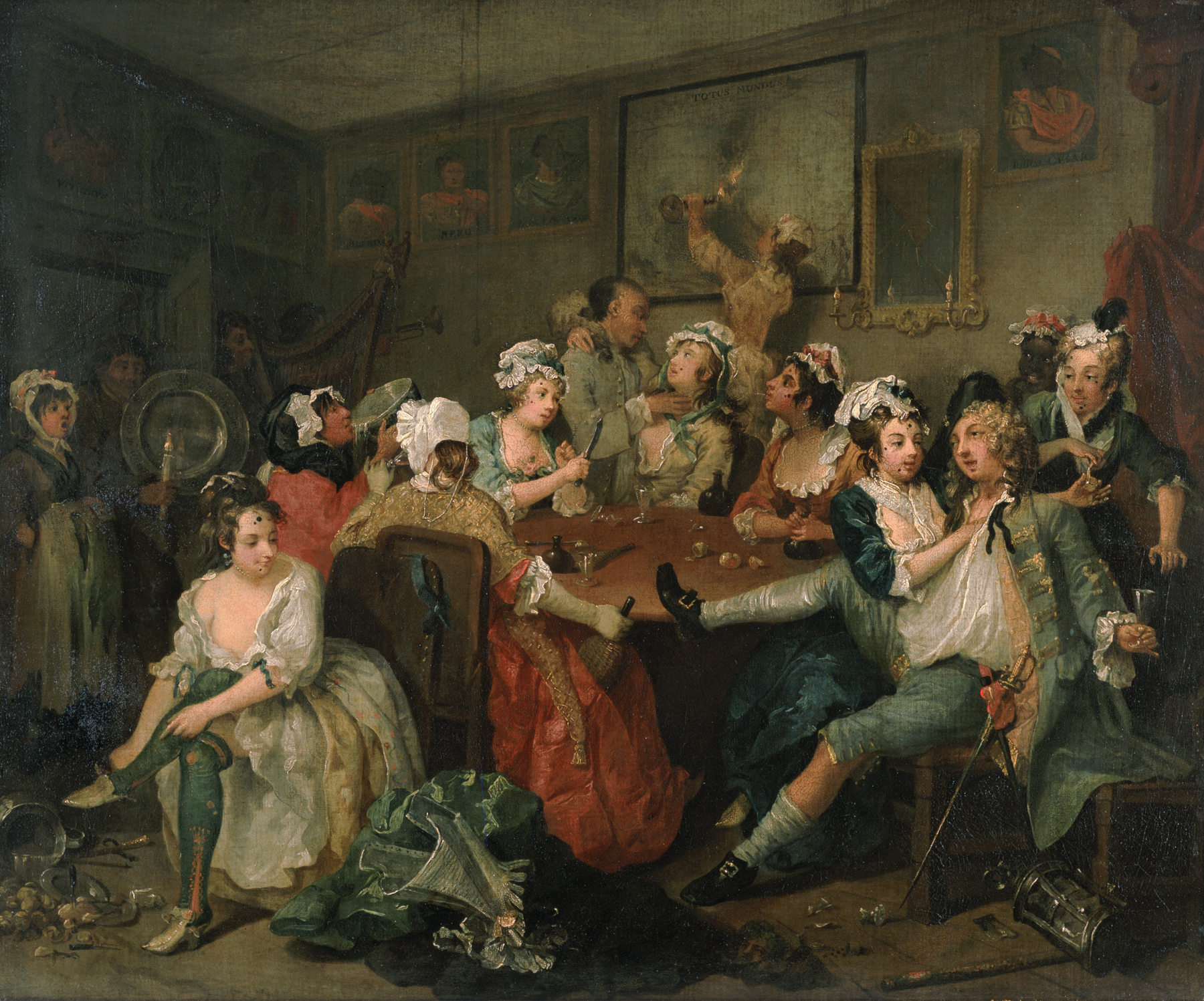
John "Mad Jack" Mytton (30 September 1796 – 29 March 1834) was a British eccentric and rake of the Regency period who was briefly a Tory Member of Parliament. Early life John Mytton was born on 30 September 1796, the son of John Mytton and Sarah Harriet. His family were Shropshire squires with a lineage that stretched back some 500 years. His father died at the age of 30, when Jack was two years old, and he inherited the family seat of Halston Hall, Whittington, near Oswestry, which was worth £60,000 (£4.3 million as of 2006), as well as an annual income of £10,000 (more than £716,000 as of 2006) from rental and agricultural assets generated by estates of more than at Dinas Mawddwy and in Shropshire. Mytton was sent to Westminster School, but was expelled after one year for fighting a master. He was then sent to Harrow School, from which he was also expelled after three terms. He was then educated by a disparate series of private tutors whom he tormented with pr ... [...More Info...] [...Related Items...] OR: [Wikipedia] [Google] [Baidu] |
Llanfair Waterdine
Llanfair Waterdine, sometimes written as Llanvair Waterdine and meaning St Mary's Church Waterdine, is a small village and civil parish in Shropshire, England, on the north side of the Teme valley and adjacent to the Wales-England border. Place name "Llanfair" is a typical Welsh place name - in English it translates as "church(yard) of St Mary". "Waterdine", which means "place by the water" was added to the name to distinguish the village from other places called "Llanfair" (which is a very common place name in Wales). The place name in the Welsh language is ''Llanfair Dyffryn Tefeidiad'' (the 2nd and 3rd words mean "Teme Valley"). Location Llanfair Waterdine is just off the B4355 road, northwest of Knighton and near the village of Knucklas, which has a railway station. The village lies southwest of the small Shropshire town of Clun. Also nearby is the small village of Lloyney (just on the other side of the Teme, in Wales). The village and parish is situated on the sout ... [...More Info...] [...Related Items...] OR: [Wikipedia] [Google] [Baidu] |
Highley
Highley is a large village in Shropshire, England, on the west bank of the River Severn and 7 miles south east of Bridgnorth. The closest cities being Wolverhampton and Birmingham. History Highley began as a rural farming community, including an entry in the Domesday Book, later becoming a significant area for stone quarrying which provided some of the stone for Worcester Cathedral. Coal mining began in the area in the Middle Ages, but in the late 19th century the village was revolutionised by coal mining with large-scale operations beginning in 1878. A period of intense house-building also followed, giving Highley its distinctive red-brick terraced miners' houses. In the 1930s, the mine was extended to the neighbouring village of Alveley across the River Severn and a tunnel and bridge constructed between the two. There are also historical bridging points at Bridgnorth to the north and Bewdley to the south, and in Hampton Loade a private bridge used by the emergency service ... [...More Info...] [...Related Items...] OR: [Wikipedia] [Google] [Baidu] |
Broseley
Broseley is a market town in Shropshire, England, with a population of 4,929 at the 2011 Census and an estimate of 5,022 in 2019. The River Severn flows to its north and east. The first The Iron Bridge, iron bridge in the world was built in 1779 across the Severn, linking Broseley with Coalbrookdale and Madeley, Shropshire, Madeley. This contributed to the Industrial Revolution, early industrial development in the Ironbridge Gorge, which is now part of a World Heritage Site. History There was a settlement existing in 1086, listed as Bosle in the Domesday Book of that year, when it lay in the Hundred of Alnodestreu. That jurisdiction was dismembered in the time of King Henry I of England, Henry I, when Broseley and Willey, Shropshire, Willey were reassigned to the Munslow (hundred), Munslow Hundred. Finally they were transferred to the Liberty of Wenlock on its creation in the time of King Richard I of England, Richard I. The place name appears as ''Burewardeslega'' in 1177, and ... [...More Info...] [...Related Items...] OR: [Wikipedia] [Google] [Baidu] |
Clun
Clun ( cy, Colunwy) is a town in south west Shropshire, England, and the Shropshire Hills Area of Outstanding Natural Beauty. The 2011 census recorded 680 people living in the town.Combined populations for the two output areas covering the towan/ref> Research by the Campaign for the Protection of Rural England suggests that Clun is one of the most tranquil locations in England. History Clun takes its name from the river upon whose banks it stands. Deriving from the Welsh , it shares its very early Brythonic root with the two rivers Colne, in Lancashire and Essex, each of which has a town of the same name on its banks. Clun grew up around the site of an Anglo-Saxon church towards the end of the 7th century AD. However, in the surrounding area there was a scattered population at least as early as the Neolithic period, about 5000 years ago. Clun was on the historic drove road where flocks and herds were driven from Wales to the markets in the Midlands and London. At the time ... [...More Info...] [...Related Items...] OR: [Wikipedia] [Google] [Baidu] |
Church Stretton
Church Stretton is a market town in Shropshire, England, south of Shrewsbury and north of Ludlow. The population in 2011 was 4,671.National Statistics Church Stretton 2011 population area and density The town was nicknamed Little Switzerland in the late Victorian and period for its landscape, and became a health resort. [...More Info...] [...Related Items...] OR: [Wikipedia] [Google] [Baidu] |
Clee Hills
The Clee Hills are a range of hills in Shropshire, England near Ludlow, consisting of Brown Clee Hill , the highest peak in Shropshire, and Titterstone Clee Hill . They are both in the Shropshire Hills Area of Outstanding Natural Beauty. Geography The hills stretch over 15 miles and run north - south, and for about this distance the lowest point along the hills is just under . Titterstone Clee Hill is around five miles south of Brown Clee Hill. The B4364 road from Ludlow to Bridgnorth runs between the two hills, offering good views of both. The hills have been said to form a "gateway" from the built up areas of the West Midlands to the hills and rural landscape of Wales and are at the heart of the Welsh Marches. Much quarrying has taken place on the hills over the years, and there are large air traffic control domes and radar towers on the summits of both hills which can be seen for many miles around. Views Views from the west of the hills spread as far as Snowdonia and Cada ... [...More Info...] [...Related Items...] OR: [Wikipedia] [Google] [Baidu] |


.jpg)
