|
Hayward Regional Shoreline
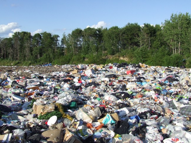
Hayward Regional Shoreline is a regional park located on the shores of the San Francisco Bay in Hayward, California. It is part of the East Bay Regional Park District, East Bay Regional Parks system. The park extends to the shores of San Lorenzo, California, San Lorenzo. Part of the park is former commercial salt flats purchased in 1996. A former landfill, now capped with soil and plants, is located in the park. The park includes the tidal wetland, Cogswell Marsh, and the Oro Loma Marsh (constructed in 1997). Located to the south of the park is the Hayward Shoreline Interpretive Center, which provides information on the Bay shore habitats. The San Francisco Bay Trail runs through the park, which connects the park with San Lorenzo Creek. References External links Hayward Regional Shoreline official web page at the San Francisco Bay Trail Project website East Bay Regional Park District Parks in Hayward, California San Francisco Bay Trail Former landfills in California ... [...More Info...] [...Related Items...] OR: [Wikipedia] [Google] [Baidu] |
Regional Park
A regional park is an area of land preserved on account of its natural beauty, historic interest, recreational use or other reason, and under the administration of a form of local government. Definition A regional park can be a special park district covering a region crossing several jurisdiction boundaries, or a park system of a single jurisdiction, such as a province, county, or city. By country Canada Saskatchewan There are 101 regional parks in Saskatchewan. All parks are operated by volunteer boards. Italy Regional parks in Italy are administered by each region in Italy, a government unit like a U.S. state. Ireland Distinguished from National Parks in the Republic of Ireland, which are owned and run centrally by the state's National Parks and Wildlife Service, Ireland's regional parks are managed and operated by individual local authorities in Ireland. Examples include Ballincollig Regional Park (managed by Cork City Council), Millennium Regional Park ( Fingal County ... [...More Info...] [...Related Items...] OR: [Wikipedia] [Google] [Baidu] |
San Francisco Bay
San Francisco Bay (Chochenyo language, Chochenyo: 'ommu) is a large tidal estuary in the United States, U.S. state of California, and gives its name to the San Francisco Bay Area. It is dominated by the cities of San Francisco, California, San Francisco, San Jose, California, San Jose, and Oakland, California, Oakland. The San Francisco Bay drains water from approximately 40 percent of California. Water from the Sacramento River, Sacramento and San Joaquin River, San Joaquin rivers, and from the Sierra Nevada mountains, flow into Suisun Bay, which then travels through the Carquinez Strait to meet with the Napa River at the entrance to San Pablo Bay, which connects at its south end to San Francisco Bay. It then connects to the Pacific Ocean via the Golden Gate strait. However, this entire group of interconnected bays is often called the ''San Francisco Bay''. The bay was designated a Ramsar Convention, Ramsar Wetland of International Importance on February 2, 2013, and the Port ... [...More Info...] [...Related Items...] OR: [Wikipedia] [Google] [Baidu] |
Hayward, California
Hayward is a city located in Alameda County, California, United States, in the East Bay subregion of the San Francisco Bay Area. With a population of 162,954 as of 2020, Hayward is the sixth largest city in the Bay Area, and the third largest in Alameda County. Hayward was ranked as the 36th most populous List of municipalities in California, municipality in California. It is included in the San Francisco Bay Area Combined Statistical Area, San Francisco–Oakland–San Jose Metropolitan Statistical Area by the US Census. It is located primarily between Castro Valley, California, Castro Valley, San Leandro, California, San Leandro and Union City, California, Union City, and lies at the eastern terminus of the San Mateo-Hayward Bridge, San Mateo–Hayward Bridge. The city was devastated early in its history by the 1868 Hayward earthquake. From the early 20th century until the beginning of the 1980s, Hayward's economy was dominated by its now defunct food canning and salt production ... [...More Info...] [...Related Items...] OR: [Wikipedia] [Google] [Baidu] |
East Bay Regional Park District
The East Bay Regional Park District (EBRPD) is a Special-purpose district, special district operating in Alameda County, California, Alameda County and Contra Costa County, California, within the East Bay (California), East Bay area of the San Francisco Bay Area. It maintains and operates a system of regional parks which is the largest urban regional park district in the United States. The administrative office is located in Oakland. As of 2020, EBRPD spans with 73 parks and over of trails. Some of these parks are wilderness areas; others include a variety of visitor attractions, with opportunities for human swimming, swimming, boating and camping. The trails are frequently used for non-motorized transportation such as biking, hiking, and horse riding. More than of paved trails (identified as Interpark Regional Trails) through urban areas link the parks together. History A destructive grass fire that broke out in Wildcat Canyon blew west into Berkeley on September 17, 1923, a ... [...More Info...] [...Related Items...] OR: [Wikipedia] [Google] [Baidu] |
San Lorenzo, California
San Lorenzo (Spanish language, Spanish for "Saint Lawrence, Saint Laurence") is a census-designated place, census-designated place (CDP) located in the East Bay (San Francisco Bay Area), East Bay of the San Francisco Bay Area in Alameda County, California, Alameda County, California, United States. The population was 29,581 at the 2020 census. It is an Unincorporated area, unincorporated community, located at the banks of San Lorenzo Creek. It was originally named ''Squattersville'' in 1851, but later renamed to San Lorenzo. In 1944, under contract to the U.S. Navy, The David D. Bohannon Company began construction of San Lorenzo Village, which was one of the nation's first planned communities, with parcels designated for schools, churches, parks, and several retail centers. Bohannon's pioneering pre-cutting techniques, referred to as the "California method," were used in later developments, such as the more famous Levittown, Pennsylvania. History San Lorenzo is located on th ... [...More Info...] [...Related Items...] OR: [Wikipedia] [Google] [Baidu] |
Landfill
A landfill is a site for the disposal of waste materials. It is the oldest and most common form of waste disposal, although the systematic burial of waste with daily, intermediate and final covers only began in the 1940s. In the past, waste was simply left in piles or thrown into pits (known in Archaeology, archeology as middens). Landfills take up a lot of land and pose environmental risks. Some landfill sites are used for waste management purposes, such as temporary storage, consolidation and transfer, or for various stages of processing waste material, such as sorting, treatment, or recycling. Unless they are stabilized, landfills may undergo severe shaking or soil liquefaction of the ground during an earthquake. Once full, the area over a landfill site may be Landfill restoration, reclaimed for other uses. Both active and restored landfill sites can have significant environmental impacts which can persist for many years. These include the release of gases that contribute to ... [...More Info...] [...Related Items...] OR: [Wikipedia] [Google] [Baidu] |
Hayward Shoreline Interpretive Center
The Hayward Shoreline Interpretive Center is a natural history and ecology interpretive center, interpretive nature center located in Hayward, California. It is directly adjacent to the north side of California State Route 92, Highway 92 as it approaches the San Mateo–Hayward Bridge, and is accessed from the highway by the last offramp in the westbound direction before the bridge toll gates. The Center was dedicated in 1986, and is operated by the Hayward Area Recreation and Park District. Activities The Center focuses on San Francisco Bay wetland and shoreline ecosystems, and is itself located next to restored wetlands formerly used as salt evaporation pond, salt ponds. The Center operates primarily as a resource center for local schools' educational field trips. It is open to the public on weekends. The center has a small permanent exhibit of native, aquatic life, and rotating exhibits of other related subjects. It is an access point to the San Francisco Bay Trail. Binoculars ... [...More Info...] [...Related Items...] OR: [Wikipedia] [Google] [Baidu] |
San Francisco Bay Trail
The San Francisco Bay Trail is a bicycle and pedestrian trail that when finished will allow continuous travel around the shoreline of San Francisco Bay. As of 2020, of the trail have been completed. When finished, the trail will be over of paved and gravel paths, bike lanes, and sidewalks, linking 47 cities across nine counties and crossing seven toll bridges. It is a project of the Association of Bay Area Governments (ABAG) and the Metropolitan Transportation Commission (San Francisco Bay Area), Metropolitan Transportation Commission (MTC), in collaboration with other agencies, private companies, non-profit organizations, and advocacy groups. The trail is intended to provide recreation for hikers and bicyclists, viewpoints for wildlife, space for environmental education, and corridors for bicycle transportation as well as access to historic, natural and cultural sites, including over 130 parks. Route The Bay Trail is an interconnected trail system that links parks, open sp ... [...More Info...] [...Related Items...] OR: [Wikipedia] [Google] [Baidu] |
San Lorenzo Creek
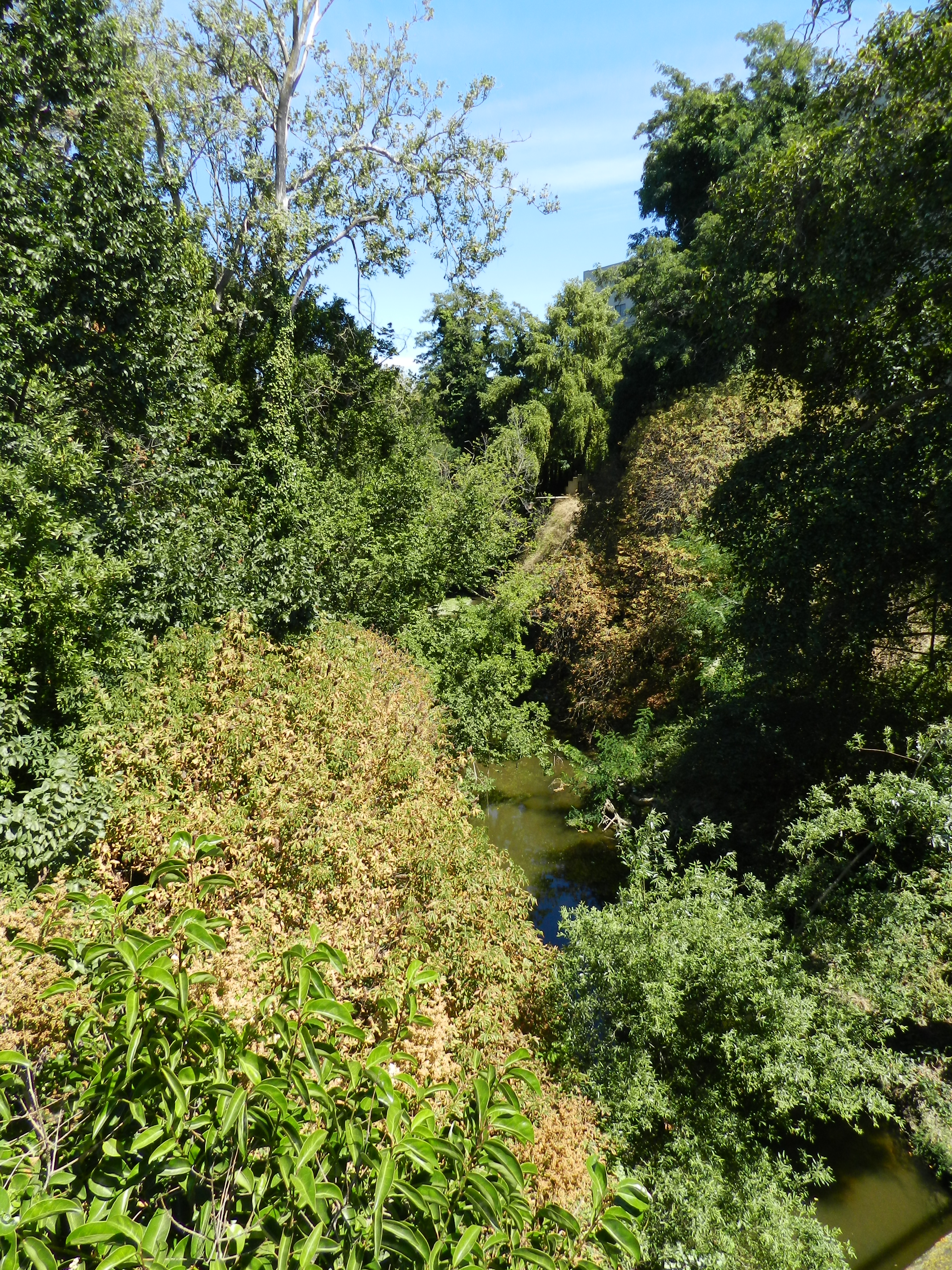
San Lorenzo Creek () is a U.S. Geological Survey. National Hydrography Dataset high-resolution flowline dataThe National Map accessed March 15, 2011 year-round natural stream flowing through Hayward, California and other neighboring unincorporated communities into San Francisco Bay at the Hayward Regional Shoreline. Watershed The creek begins in Castro Valley, and is the main tributary within the San Lorenzo Watershed, including the formerly independent Sulphur Creek, which had most of its flow diverted into San Lorenzo Creek in the 1960s to reduce the risk of flooding in downtown Hayward. Only in large flow events does some of the creek flow follow its old course into the Bay. The creek runs through the City of Hayward and the unincorporated communities of Cherryland, Ashland and San Lorenzo and empties into San Francisco Bay. A portion of the San Francisco Bay Trail runs along the mouth of the creek. The Cull Canyon and Don Castro reservoirs, both located within regional ... [...More Info...] [...Related Items...] OR: [Wikipedia] [Google] [Baidu] |
Parks In Hayward, California
A park is an area of natural, semi-natural or planted space set aside for human enjoyment and recreation or for the protection of wildlife or natural habitats. Urban parks are green spaces set aside for recreation inside towns and cities. National parks and country parks are green spaces used for recreation in the countryside. State parks and provincial parks are administered by sub-national government states and agencies. Parks may consist of grassy areas, rocks, soil and trees, but may also contain buildings and other artifacts such as monuments, fountains or playground structures. Many parks have fields for playing sports such as baseball and football, and paved areas for games such as basketball. Many parks have trails for walking, biking and other activities. Some parks are built adjacent to bodies of water or watercourses and may comprise a beach or boat dock area. Urban parks often have benches for sitting and may contain picnic tables and barbecue grills. The largest ... [...More Info...] [...Related Items...] OR: [Wikipedia] [Google] [Baidu] |


