|
Gulf Of Riga
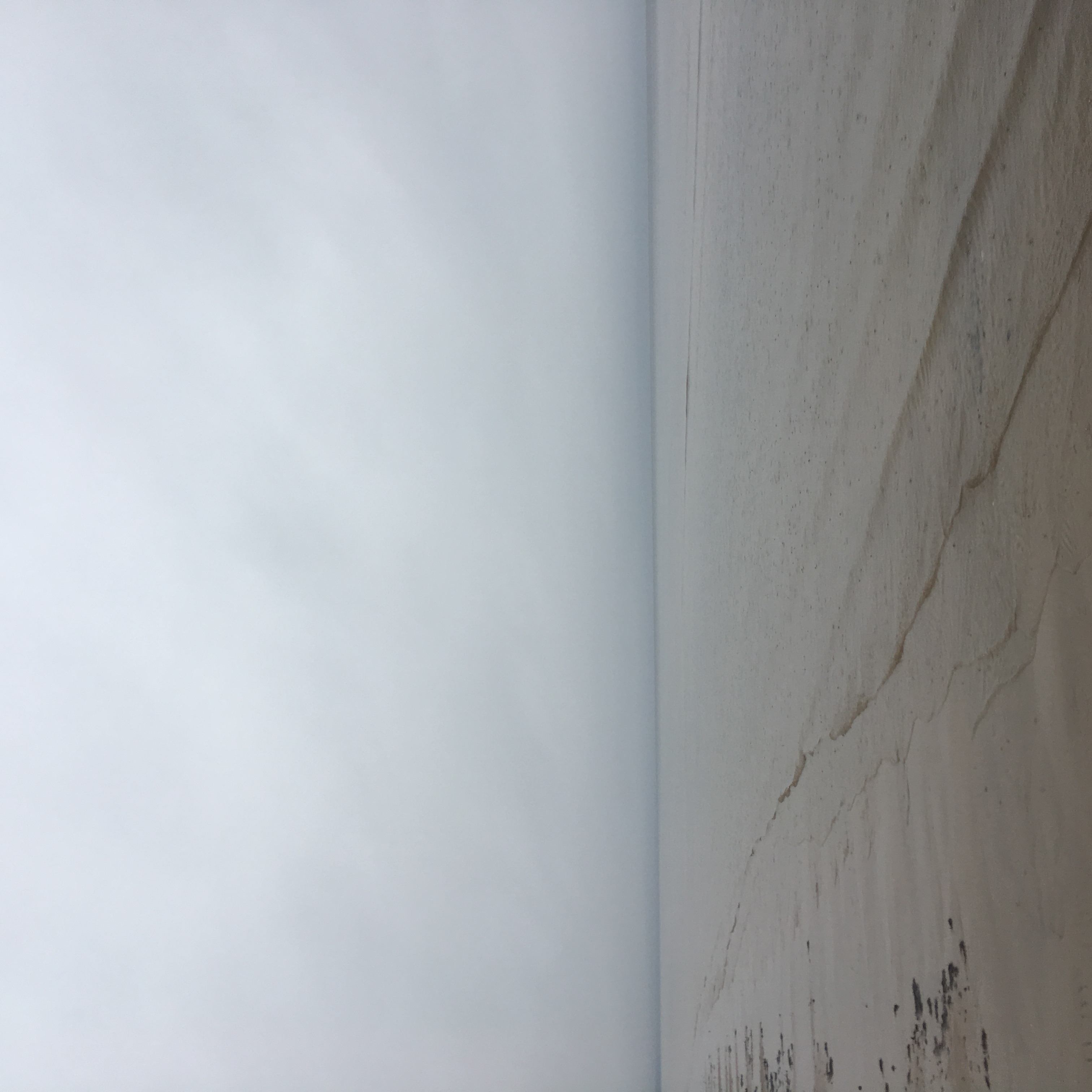
The Gulf of Riga, Bay of Riga, or Gulf of Livonia ( lv, Rīgas līcis, et, Liivi laht) is a bay of the Baltic Sea between Latvia and Estonia. The island of Saaremaa (Estonia) partially separates it from the rest of the Baltic Sea. The main connection between the gulf and the Baltic Sea is the Irbe Strait. The Gulf of Riga, as a sub-basin of the Baltic, also includes the Väinameri Sea in the West Estonian archipelago. Geography Extent The International Hydrographic Organization defines the Gulf of Riga's western limit as "A line running from Lyser Ort (57°34'N), in Latvia, to the South extreme of Œsel Island, through this island to Pammerort (22°34'E), thence to Enmast Point, the S extreme of Dagö, through Dagö to Takhkona Point, the North extreme thereof, and on to Spithamn Point in Estonia". Islands Major islands in the gulf include Saaremaa, Kihnu, and Ruhnu, which are all controlled by Estonia. Kihnu covers an area of . Saaremaa island is responsi ... [...More Info...] [...Related Items...] OR: [Wikipedia] [Google] [Baidu] |
Daugava
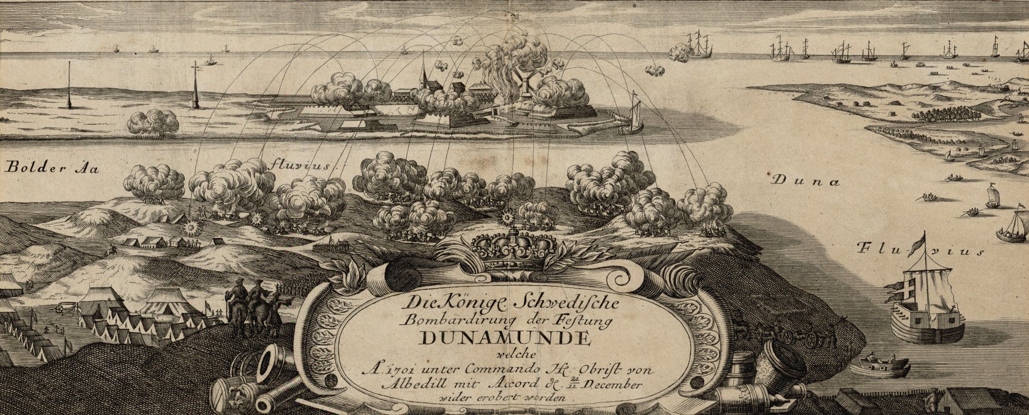
, be, Заходняя Дзвіна (), liv, Vēna, et, Väina, german: Düna , image = Fluss-lv-Düna.png , image_caption = The drainage basin of the Daugava , source1_location = Valdai Hills, Russia , mouth_location = Gulf of Riga, Baltic Sea , mouth_coordinates = , subdivision_type1 = Country , subdivision_name1 = Belarus, Latvia, Russia , length = , source1_elevation = , mouth_elevation = , discharge1_avg = , basin_size = , pushpin_map = , pushpin_map_size = , pushpin_map_caption = , pushpin_map_alt = The Daugava ( ltg, Daugova; german: Düna) or Western Dvina (russian: Западная Двина, translit=Západnaya Dviná; be, Заходняя Дзвіна; et, Väina; fi, Väinäjoki) is a large river rising in the Valdai Hills of Russia that flows through Belarus and Latvia into the Gulf of Riga of the Baltic Sea. It rises close to the source of the Volga. It is in length, of which are in Latvia and are in Russia. It is a westward-flowing r ... [...More Info...] [...Related Items...] OR: [Wikipedia] [Google] [Baidu] |
Väinameri
The Väinameri (Estonian for ''Strait Sea'' or ''Sea of Straits'') or Väinameri Sea is a strait and sub-bay of the Baltic Sea, located between the West Estonian Archipelago and the Estonian mainland, within western Estonia. It is the northern section of the Gulf of Riga The Gulf of Riga, Bay of Riga, or Gulf of Livonia ( lv, Rīgas līcis, et, Liivi laht) is a bay of the Baltic Sea between Latvia and Estonia. The island of Saaremaa (Estonia) partially separates it from the rest of the Baltic Sea. The main c ..., extending north to the eastern Baltic Sea. The area of the Väinameri Sea is about . The Väinameri Sea is home to the Väinameri Conservation area. References Gulf of Riga Straits of the Baltic Sea Straits of Estonia Saaremaa {{Latvia-geo-stub ... [...More Info...] [...Related Items...] OR: [Wikipedia] [Google] [Baidu] |
Brackish
Brackish water, sometimes termed brack water, is water occurring in a natural environment that has more salinity than freshwater, but not as much as seawater. It may result from mixing seawater (salt water) and fresh water together, as in estuaries, or it may occur in brackish fossil aquifers. The word comes from the Middle Dutch root '' brak''. Certain human activities can produce brackish water, in particular civil engineering projects such as dikes and the flooding of coastal marshland to produce brackish water pools for freshwater prawn farming. Brackish water is also the primary waste product of the salinity gradient power process. Because brackish water is hostile to the growth of most terrestrial plant species, without appropriate management it is damaging to the environment (see article on shrimp farms). Technically, brackish water contains between 0.5 and 30 grams of salt per litre—more often expressed as 0.5 to 30 parts per thousand (‰), which is a speci ... [...More Info...] [...Related Items...] OR: [Wikipedia] [Google] [Baidu] |
Pärnu River
Pärnu () is the fourth largest city in Estonia. Situated in southwest Estonia, Pärnu is located south of the Estonian capital, Tallinn, and west of Estonia's second largest city, Tartu. The city sits off the coast of Pärnu Bay, an inlet of the Gulf of Riga, which is a part of the Baltic Sea. In the city, the Pärnu River drains into the Gulf of Riga. Pärnu is a popular summer holiday resort town among Estonians with many hotels, restaurants and large beaches. The city is served by Pärnu Airport. History Perona (german: Alt-Pernau, links=no, et, Vana-Pärnu, links=no), which was founded by the bishop of Ösel–Wiek , suffered heavily under pressure of the concurrent town, and was finally destroyed . Another town, Embeke (later german: Neu-Pernau, links=no, et, Uus-Pärnu, links=no) was founded by the Livonian Order, who began building an Ordensburg nearby in 1265. The latter town, then known by the German name of , was a member of the Hanseatic League and an ... [...More Info...] [...Related Items...] OR: [Wikipedia] [Google] [Baidu] |
Daugava River
, be, Заходняя Дзвіна (), liv, Vēna, et, Väina, german: Düna , image = Fluss-lv-Düna.png , image_caption = The drainage basin of the Daugava , source1_location = Valdai Hills, Russia , mouth_location = Gulf of Riga, Baltic Sea , mouth_coordinates = , subdivision_type1 = Country , subdivision_name1 = Belarus, Latvia, Russia , length = , source1_elevation = , mouth_elevation = , discharge1_avg = , basin_size = , pushpin_map = , pushpin_map_size = , pushpin_map_caption = , pushpin_map_alt = The Daugava ( ltg, Daugova; german: Düna) or Western Dvina (russian: Западная Двина, translit=Západnaya Dviná; be, Заходняя Дзвіна; et, Väina; fi, Väinäjoki) is a large river rising in the Valdai Hills of Russia that flows through Belarus and Latvia into the Gulf of Riga of the Baltic Sea. It rises close to the source of the Volga. It is in length, of which are in Latvia and are in Russia. It is a westward-flowing river, t ... [...More Info...] [...Related Items...] OR: [Wikipedia] [Google] [Baidu] |
Ruhnu
Ruhnu ( sv, Runö; german: Runö; lv, Roņu sala) is an Estonian island in the Gulf of Riga in the Baltic Sea. It is administratively part of Saare County but is geographically closer to the Latvian mainland. At , it has currently fewer than 100, mostly ethnic Estonian, permanent inhabitants. Ruhnu Parish has the smallest population of Estonia's 79 municipalities. Before 1944, it was for centuries populated by ethnic Swedes and traditional Swedish law was used. History The first archaeological artifacts of human activity in Ruhnu, assumed to be related to seasonal seal hunting, date back to around 5000 BC. The time of arrival of the first ancient Scandinavians in Ruhnu and the beginning of a permanent Swedish-speaking settlement is not known. It probably did not precede the Northern Crusades at the beginning of the 13th century, when the indigenous peoples of all the lands surrounding the Gulf of Riga were converted to Christianity and subjugated to the Teutonic Order ... [...More Info...] [...Related Items...] OR: [Wikipedia] [Google] [Baidu] |
Kihnu
Kihnu is an island in the Baltic Sea. With an area of it is the largest island in the Gulf of Riga and the seventh largest island of Estonia. The length of the island is and width , the highest point is at above sea level. The island belongs to the Pärnu County of Estonia. Together with neighbouring islands it forms Kihnu Parish, one of the smallest municipalities of the country with an area of . 604 people live on Kihnu , 69 of whom are primary school pupils. There are four villages: Lemsi, Linaküla, Rootsiküla and Sääre. One can reach Kihnu by a 15-minute plane trip from Pärnu or by ferry, with trips taking 3 hours from Pärnu and 1 hour from Manilaid. When the sea is frozen in winter, it is possible to drive to the island over the ice. The nearby isle of Manilaid (or Manija, ''Manõja'' in the Kihnu dialect) was inhabited by people from Kihnu since 1933 and thus shares its culture. UNESCO proclaimed Kihnu's cultural space and traditions as a Masterpiece of the ... [...More Info...] [...Related Items...] OR: [Wikipedia] [Google] [Baidu] |
Spithami
Spithami ( sv, Spithamn) is a village in Lääne-Nigula Parish, Lääne County, in northwestern Estonia. It was inhabited by Estonian Swedes until World War II World War II or the Second World War, often abbreviated as WWII or WW2, was a world war that lasted from 1939 to 1945. It involved the World War II by country, vast majority of the world's countries—including all of the great power .... During Soviet rule it was a military area in which civilian entry was banned. Earlier forms of the village's name include ''Spithaven'', ''Spithave'', ''Spithaff'' (all mentioned in 1514), ''Spythave'' (1564), ''Spiuthampn'', ''Spithaven'' (both 1565) and ''Spiuthambre'' (1798). In Estonian, the village has been also called ''Põõsaspea'' (mentioned as ''Põesapi'' in 1922) before moving to the current form, which is an Estonian spelling of the original Swedish toponym. Nowadays the name Põõsaspea only indicates a nearby cape situated inside the village's borders. P ... [...More Info...] [...Related Items...] OR: [Wikipedia] [Google] [Baidu] |
Tahkuna
Tahkuna is a village in Hiiumaa Parish, Hiiu County in northwestern Estonia Estonia, formally the Republic of Estonia, is a country by the Baltic Sea in Northern Europe. It is bordered to the north by the Gulf of Finland across from Finland, to the west by the sea across from Sweden, to the south by Latvia, an .... (retrieved 28 July 2021) References Villages in Hiiu County {{Hiiu-geo-stub ... [...More Info...] [...Related Items...] OR: [Wikipedia] [Google] [Baidu] |
Hiiumaa
Hiiumaa (, ) is the second largest island in Estonia and is part of the West Estonian archipelago, in the Baltic Sea. It has an area of 989 km2 and is 22 km from the Estonian mainland. Its largest town is Kärdla. It is located within Hiiu County. Names Hiiumaa is the main island of Hiiu County, called or in Estonian. The Swedish and German name of the island is or ('Day' island) and in Danish. In modern Finnish, it is called , literally ' Hiisi's Land'. In Russian it is known as (). In Old Gutnish, it was ('day isthmus'), from which the local North Germanic name is derived. History Prehistory Hiiumaa emerged from the Baltic Sea 8500 years ago due to isostatic uplift after the retreat of the ice cap. Mesolithic settlements are found on the island's Kõpu Peninsula from about 5500 BC. These settlements seem to be related mostly to seal hunting and extend into the earliest Neolithic. As Hiiumaa is constantly uplifting the local sea level was 20 m high ... [...More Info...] [...Related Items...] OR: [Wikipedia] [Google] [Baidu] |
Emmaste
Emmaste (german: Emmast) is a village in Hiiumaa Parish, Hiiu County Hiiu County ( et, Hiiu maakond or ''Hiiumaa'') is one of 15 counties of Estonia, being the smallest county both in terms of area and population. It consists of Hiiumaa ( German and sv, Dagö), the second largest island of Estonia, and several ... in northwestern Estonia. Emmaste got its village status in 1977. Before it was an Emmaste settlement (), which was formed in 1920s on the basis of Emmaste Manor (). Eastern part of the village is known as ''Nõmme''. In 1920s and 1930s, the Nõmme was a standalone village. In 1977, the nearby village Viiterna was merged with Emmaste village. References Villages in Hiiu County Kreis Wiek {{Hiiu-geo-stub ... [...More Info...] [...Related Items...] OR: [Wikipedia] [Google] [Baidu] |
Pammana
Pammana is a village in Saaremaa Parish, Saare County in western Estonia. Before the administrative reform in 2017, the village was in Leisi Parish Leisi Parish was a municipality in Saare County, Estonia. The parish did consist of one small borough Leisi and 53 villages. The municipality had a population of 2,137 (as of 1 January 2010) and covered an area of 347.91 km². During the .... References Villages in Saare County {{Saare-geo-stub ... [...More Info...] [...Related Items...] OR: [Wikipedia] [Google] [Baidu] |


