|
Fukuchiyama
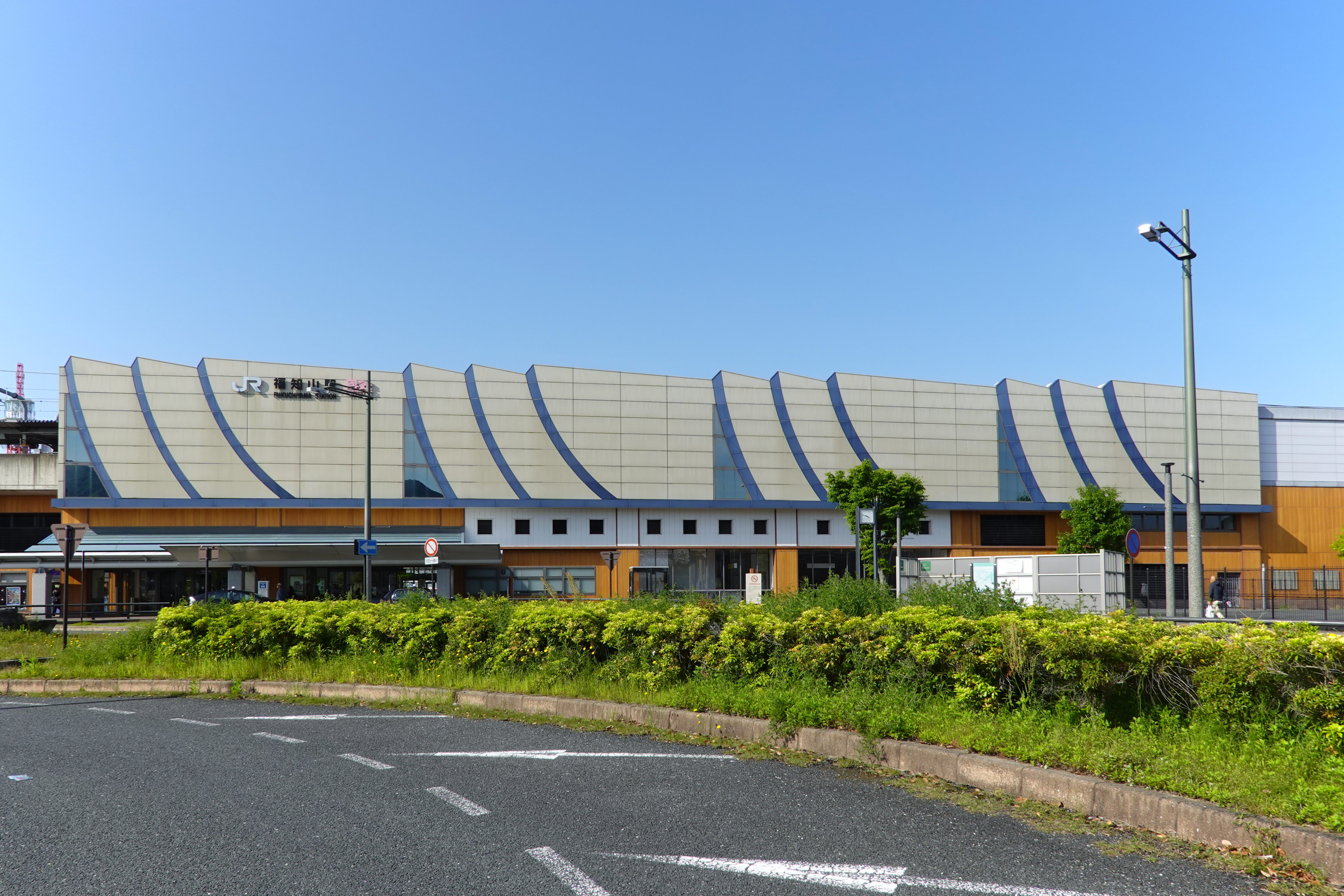
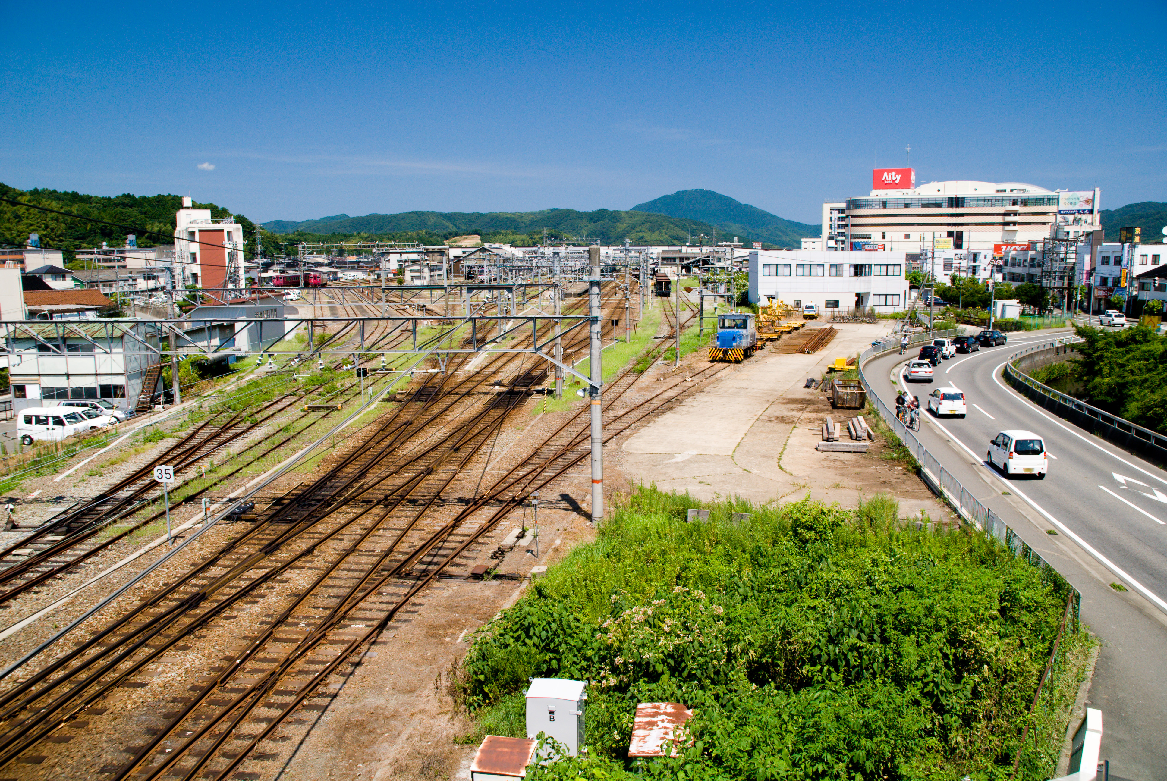
file:Fukuchiyama City Hall.jpg, Fukuchiyama City Hall file:福知山駅プラットフォームより View toward northeast from platform of Fukuchiyama station 2011.1.10 - panoramio.jpg, Fukuchiyama city center is a Cities of Japan, city in northern Kyoto Prefecture, Japan. , the city had an estimated population of 76,037 in 36412 households and a population density of 140 persons per km2. The total area of the city is . Geography Fukuchiyama is located in northwestern Kyoto Prefecture, bordering Hyōgo Prefecture to the west. It is centered on the Fukuchiyama Basin formed by the Yura River (Japan), Yura River, and is surrounded by mountains to the south, west, and east. It is located about 70 kilometers from downtown Osaka, 60 kilometers from Kyoto or Kobe City, and about 30 kilometers from Toyooka or Maizuru. The highest elevation in the city is 839.17 meters above sea level, and the lowest is 7.11 meters. The city center extends along the Yura River. Neighbouring municipal ... [...More Info...] [...Related Items...] OR: [Wikipedia] [Google] [Baidu] |
Fukuchiyama City Hall
Fukuchiyama City Hall Fukuchiyama city center is a city in northern Kyoto Prefecture, Japan. , the city had an estimated population of 76,037 in 36412 households and a population density of 140 persons per km2. The total area of the city is . Geography Fukuchiyama is located in northwestern Kyoto Prefecture, bordering Hyōgo Prefecture to the west. It is centered on the Fukuchiyama Basin formed by the Yura River, and is surrounded by mountains to the south, west, and east. It is located about 70 kilometers from downtown Osaka, 60 kilometers from Kyoto or Kobe City, and about 30 kilometers from Toyooka or Maizuru. The highest elevation in the city is 839.17 meters above sea level, and the lowest is 7.11 meters. The city center extends along the Yura River. Neighbouring municipalities Hyōgo Prefecture * Asago * Sasayama * Tamba * Toyooka Kyoto Prefecture * Ayabe * Kyōtango * Maizuru * Miyazu * Yosano Climate Fukuchiyama has a humid subtropical climate (Köppen ''Cfa ... [...More Info...] [...Related Items...] OR: [Wikipedia] [Google] [Baidu] |
Fukuchiyama Castle
is a castle located in Fukuchiyama, Kyoto Prefecture, Japan. History Fukuchiyama Castle was originally built and ruled by the Yokoyama family. Following the capture of Tanba Province, Tanba in 1576, Akechi Mitsuhide reconstructed the castle on the foundations of the older fortification in 1580. However, the castle buildings, along with many other castle buildings in Japan, were mostly dismantled in 1872 during the Meiji Restoration in the Japanese government's attempts to modernize Japan. Today In 1986, the ''tenshu'', or keep, of Fukuchiyama Castle was re-built following a spirited campaign by residents of the city of Fukuchiyama. It now serves as a local history museum. Also, a well named ''Toyoiwa-no-I'' is located in the castle, and is the deepest Water well, well of any castle in Japan. Many original stone walls still stand. The Castle was listed as one of the Continued Top 100 Japanese Castles in 2017. Sources Welcome to Kyoto website [...More Info...] [...Related Items...] OR: [Wikipedia] [Google] [Baidu] |
Kyōto Prefecture
is a prefecture of Japan located in the Kansai region of Honshu. Kyoto Prefecture has a population of 2,561,358 () and has a geographic area of . Kyoto Prefecture borders Fukui Prefecture to the northeast, Shiga Prefecture to the east, Mie Prefecture to the southeast, Nara Prefecture and Osaka Prefecture to the south, and Hyōgo Prefecture to the west. Kyoto, the capital and largest city, accommodates 57% of the prefecture's total population, with other major cities including Uji, Kameoka, and Maizuru. Kyoto Prefecture is located on the Sea of Japan coast and extends to the southeast towards the Kii Peninsula, covering territory of the former provinces of Yamashiro, Tamba, and Tango. Kyoto Prefecture is centered on the historic Imperial capital of Kyoto, and is one of Japan's two "prefectures" using the designation ''fu'' rather than the standard '' ken'' for prefectures. Kyoto has made Kyoto Prefecture one of the most popular tourism destinations in Japan for national and ... [...More Info...] [...Related Items...] OR: [Wikipedia] [Google] [Baidu] |
Kyoto Prefecture
is a Prefectures of Japan, prefecture of Japan located in the Kansai region of Honshu. Kyoto Prefecture has a population of 2,561,358 () and has a geographic area of . Kyoto Prefecture borders Fukui Prefecture to the northeast, Shiga Prefecture to the east, Mie Prefecture to the southeast, Nara Prefecture and Osaka Prefecture to the south, and Hyōgo Prefecture to the west. Kyoto, the capital and largest city, accommodates 57% of the prefecture's total population, with other major cities including Uji, Kameoka, Kyoto, Kameoka, and Maizuru. Kyoto Prefecture is located on the Sea of Japan coast and extends to the southeast towards the Kii Peninsula, covering territory of the former Provinces of Japan, provinces of Yamashiro Province, Yamashiro, Tamba Province, Tamba, and Tango Province, Tango. Kyoto Prefecture is centered on the historic Imperial Court in Kyoto, Imperial capital of Kyoto, and is one of Japan's two "Fu (administrative division), prefectures" using the designation ' ... [...More Info...] [...Related Items...] OR: [Wikipedia] [Google] [Baidu] |
Sasayama, Hyōgo
, formerly known as , is a city in the central eastern part of Hyōgo Prefecture, Japan. , the city had an estimated population of 40,050 in 17,523 households and a population density of 110 persons per km2. The total area of the city is Geography Tamba-Sasayama is located in an inland basin surrounded by mountains on all sides in the eastern part of the prefecture. It is located in the mountains between the Seto Inland Sea and the Sea of Japan. The city has a slightly rectangular area east–west and north–south. Neighboring municipalities Hyōgo Prefecture * Inagawa * Katō * Nishiwaki * Sanda * Tamba Kyoto Prefecture *Fukuchiyama * Kyōtamba * Nantan Osaka Prefecture *Nose Climate Tamba-Sasayama has a Humid subtropical climate (Köppen ''Cfa'') characterized by warm summers and cool winters with light to no snowfall. The average annual temperature in Tamba-Sasayama is 13.3 °C. The average annual rainfall is 1582 mm with September as the wettest month. The temp ... [...More Info...] [...Related Items...] OR: [Wikipedia] [Google] [Baidu] |
Asago, Hyōgo
is a Cities of Japan, city located in northern Hyōgo Prefecture, Japan. , the city had an estimated population of 28,971 in 12245 households and a population density of 72 persons per km2. The total area of the city is . Geography Asago is located in the north of Hyōgo Prefecture. It is located in the east of Chūgoku Mountains, and the mountains and forests were occupy 93% of the town. The Maruyama River, Maruyama flows from south to north in the town. The Tataragi Dam was built across the Tataragi stream, a tributary of the Maruyama. Neighbouring municipalities Hyōgo Prefecture * Kamikawa, Hyōgo, Kamikawa * Shisō, Hyōgo, Shisō * Taka, Hyōgo, Taka * Tanba, Hyōgo, Tanba * Toyooka, Hyōgo, Toyooka * Yabu, Hyōgo, Yabu Kyoto Prefecture * Fukuchiyama, Kyoto, Fukuchiyama Climate Asago has a humid subtropical climate (Köppen climate classification ''Cfa'') with hot summers and cool to cold winters. Precipitation is significantly higher in summer than in winter, though ... [...More Info...] [...Related Items...] OR: [Wikipedia] [Google] [Baidu] |
Hyōgo Prefecture
is a Prefectures of Japan, prefecture of Japan located in the Kansai region of Honshu. Hyōgo Prefecture has a population of 5,469,762 () and a geographic area of . Hyōgo Prefecture borders Kyoto Prefecture to the east, Osaka Prefecture to the southeast, and Okayama Prefecture, Okayama and Tottori Prefecture, Tottori prefectures to the west. Kobe is the capital and largest city of Hyōgo Prefecture, and the List of cities in Japan, seventh-largest city in Japan, with other List of cities in Hyōgo Prefecture by population, major cities including Himeji, Nishinomiya, and Amagasaki. Hyōgo Prefecture's mainland stretches from the Sea of Japan to the Seto Inland Sea, where Awaji Island and a small archipelago of islands belonging to the prefecture are located. Hyōgo Prefecture is a major economic center, transportation hub, and tourist destination in western Japan, with 20% of the prefecture's land area designated as List of national parks of Japan#History, Natural Parks. Hyōgo ... [...More Info...] [...Related Items...] OR: [Wikipedia] [Google] [Baidu] |
Yura River (Japan)
The is a river in Kyoto Prefecture and Hyōgo Prefecture is a Prefectures of Japan, prefecture of Japan located in the Kansai region of Honshu. Hyōgo Prefecture has a population of 5,469,762 () and a geographic area of . Hyōgo Prefecture borders Kyoto Prefecture to the east, Osaka Prefecture to th ..., Japan. References Rivers of Kyoto Prefecture Rivers of Hyōgo Prefecture Rivers of Japan {{Japan-river-stub ... [...More Info...] [...Related Items...] OR: [Wikipedia] [Google] [Baidu] |
Population Density
Population density (in agriculture: Standing stock (other), standing stock or plant density) is a measurement of population per unit land area. It is mostly applied to humans, but sometimes to other living organisms too. It is a key geographical term.Matt RosenberPopulation Density Geography.about.com. March 2, 2011. Retrieved on December 10, 2011. Biological population densities Population density is population divided by total land area, sometimes including seas and oceans, as appropriate. Low densities may cause an extinction vortex and further reduce fertility. This is called the Allee effect after the scientist who identified it. Examples of the causes of reduced fertility in low population densities are: * Increased problems with locating sexual mates * Increased inbreeding Human densities Population density is the number of people per unit of area, usually transcribed as "per square kilometre" or square mile, and which may include or exclude, for example, ar ... [...More Info...] [...Related Items...] OR: [Wikipedia] [Google] [Baidu] |
Population
Population is a set of humans or other organisms in a given region or area. Governments conduct a census to quantify the resident population size within a given jurisdiction. The term is also applied to non-human animals, microorganisms, and plants, and has specific uses within such fields as ecology and genetics. Etymology The word ''population'' is derived from the Late Latin ''populatio'' (a people, a multitude), which itself is derived from the Latin word ''populus'' (a people). Use of the term Social sciences In sociology and population geography, population refers to a group of human beings with some predefined feature in common, such as location, Race (human categorization), race, ethnicity, nationality, or religion. Ecology In ecology, a population is a group of organisms of the same species which inhabit the same geographical area and are capable of Sexual reproduction, interbreeding. The area of a sexual population is the area where interbreeding is possi ... [...More Info...] [...Related Items...] OR: [Wikipedia] [Google] [Baidu] |
Japan
Japan is an island country in East Asia. Located in the Pacific Ocean off the northeast coast of the Asia, Asian mainland, it is bordered on the west by the Sea of Japan and extends from the Sea of Okhotsk in the north to the East China Sea in the south. The Japanese archipelago consists of four major islands—Hokkaido, Honshu, Shikoku, and Kyushu—and List of islands of Japan, thousands of smaller islands, covering . Japan has a population of over 123 million as of 2025, making it the List of countries and dependencies by population, eleventh-most populous country. The capital of Japan and List of cities in Japan, its largest city is Tokyo; the Greater Tokyo Area is the List of largest cities, largest metropolitan area in the world, with more than 37 million inhabitants as of 2024. Japan is divided into 47 Prefectures of Japan, administrative prefectures and List of regions of Japan, eight traditional regions. About three-quarters of Geography of Japan, the countr ... [...More Info...] [...Related Items...] OR: [Wikipedia] [Google] [Baidu] |


