|
East Flanders
East Flanders ( ; ; ; ) is a Provinces of Belgium, province of Belgium. It borders (clockwise from the North) the Netherlands, Dutch province of Zeeland and the Belgian provinces of Antwerp (province), Antwerp, Flemish Brabant, Hainaut (province), Hainaut and West Flanders. It has an area of , divided into six administrative districts containing 60 municipalities, and a population of over 1.57 million as of January 2024. The capital is Ghent, home to the Ghent University and the Port of Ghent. History During the short-lived Napoleonic Empire, most of the area of the modern province was part of the Escaut (department), Department of Escaut, named after the River Scheldt. Following the defeat of Napoleon, the entity was Geographical renaming, renamed after its geographical location in the eastern part of the historic County of Flanders (now in the western portion of the current Flemish Region). The provincial flag has a black lion with red tongue and claws, on a background of h ... [...More Info...] [...Related Items...] OR: [Wikipedia] [Google] [Baidu] |
Provinces Of Belgium
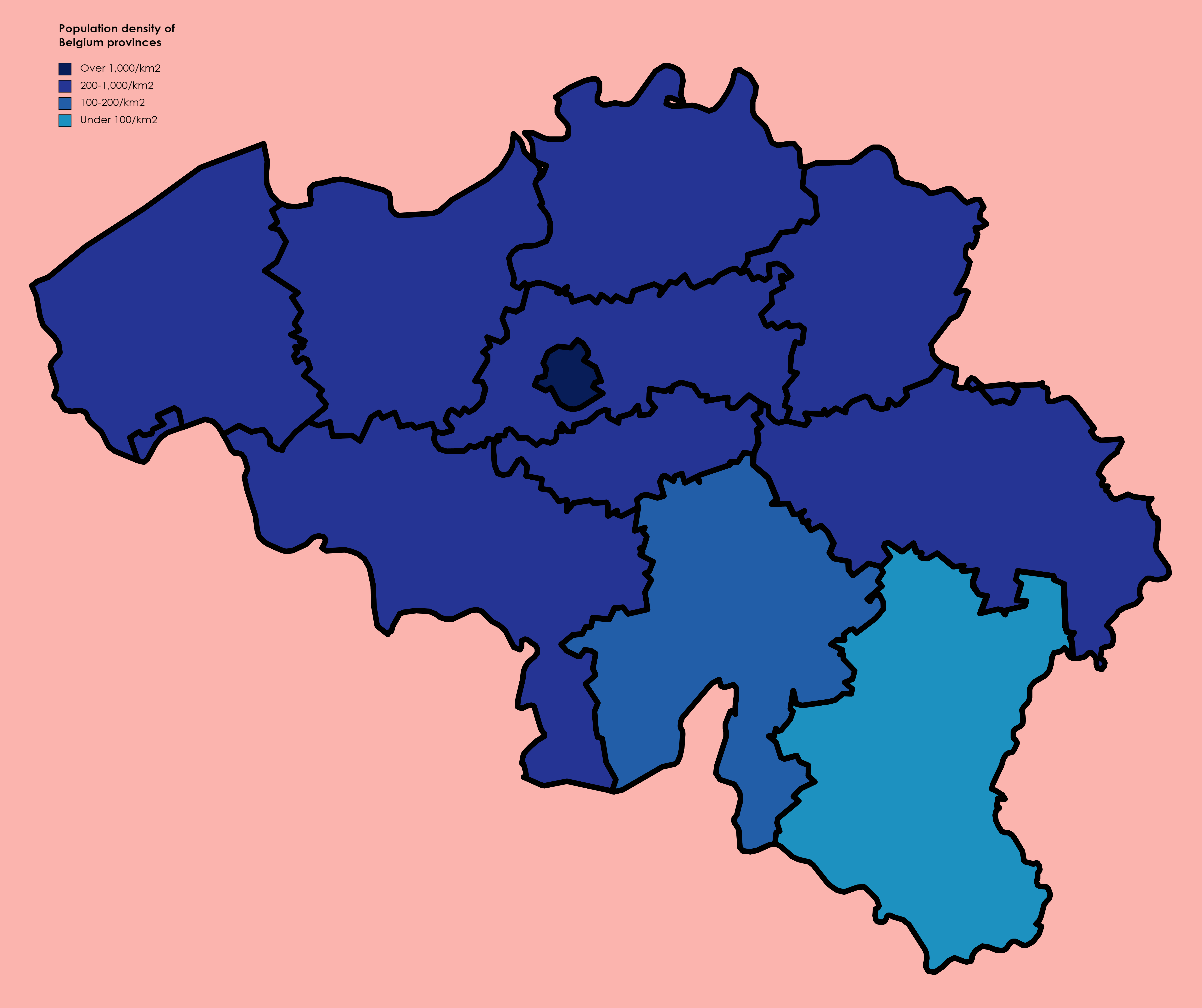
The Kingdom of Belgium is divided into three Communities, regions, and language areas of Belgium, regions. Two of these regions, Flanders and Wallonia, are each subdivided into five provinces. The third region, Brussels, does not belong to any province, nor is it subdivided into provinces. Instead, it has amalgamated both regional and provincial functions into a single "Capital Region" administration. Most of the provinces take their name from earlier duchy, duchies and county, counties of similar location, while their territory is mostly based on the 130 departments of the First French Empire, departments installed during French annexation. At the time of the Independence of Belgium, creation of Belgium in 1830, only nine provinces existed, including the province of Brabant, which held the City of Brussels. In 1995, Brabant was split into three areas: Flemish Brabant, which became a part of the region of Flanders; Walloon Brabant, which became part of the region of Wallonia; an ... [...More Info...] [...Related Items...] OR: [Wikipedia] [Google] [Baidu] |
Escaut (department)
Escaut (, ) was a department of the French First Republic and French First Empire in present-day Belgium and Netherlands. It was named after the river Scheldt (Escô, Schelde), which is called the Escaut in French. It was created on 1 October 1795, when the Austrian Netherlands and the Prince-Bishopric of Liège were officially annexed by the French Republic. Before annexation by France, its territory was part of the County of Flanders and the Dutch Republic ( Staats-Vlaanderen). The Chef-lieu of the department was Ghent (''Gand'' in French). The department was subdivided into the following four arrondissements and cantons (as of 1812): * Gand: Cruyshouthem, Deynse, Evergem, Gand (4 cantons), Loochristi, Nazareth, Nevèle, Oosterzeele, Sommergem and Waerschoot. * Termonde: Alost (2 cantons), Beveren, Hamme, Lockeren, Saint-Gillis, Saint-Nicolas, Tamise, Termonde, Wetteren and Zèle. * Eccloo: Assenède, Axel, Capryck, Eccloo, L'Écluse, Hulst, Oostbourg ... [...More Info...] [...Related Items...] OR: [Wikipedia] [Google] [Baidu] |
Dender
The Dender () or Dendre () is a long river in Belgium, the right tributary of the river Scheldt. The confluence of the two rivers is in the Belgian town of Dendermonde. The Western or Little Dender is long and begins in Barry near Leuze-en-Hainaut at an elevation of about above sea level. It begins as several canals in the fields merging together to form the Little Dender. As such, it does not have any one specific source. The source of the Eastern Dender, which is long, is near Jurbise at a height of above sea level. The two rivers meet in the town of Ath. From that confluence, the river is called the Dender proper. From Ath, the Dender passes into the Denderstreek through the cities and towns of Geraardsbergen, south of which its tributary, the Mark, flows into it. From this confluence, the river continues to flow through Ninove, Denderleeuw, and Aalst, before ending in Dendermonde. The Dender is navigable up to Aalst for small ships up to 600 tons and further upstream ... [...More Info...] [...Related Items...] OR: [Wikipedia] [Google] [Baidu] |
Leie
The Lys () or Leie () is a river in France and Belgium, and a left-bank tributary of the Scheldt. Its source is in Pas-de-Calais, France, and it flows into the river Scheldt, with the confluence in the city of Ghent, Belgium. Its total length is . Historically a very polluted river from the high population density and industrialisation in both Northern France and Belgium, it has seen substantial improvements in recent years, partly due to the decline of the principal industry, the spinning and weaving of flax. The region of the Leie (between Deinze and Ghent) was known as a favourite place for numerous painters in the first half of the 20th century. The source of the Lys is in a village, Lisbourg, east of Fruges, in the Pas-de-Calais department of France. It flows generally northeast through the following departments of France, provinces of Belgium and towns and municipalities: * Pas-de-Calais (F): Thérouanne, Aire-sur-la-Lys * Nord (F): Merville, Armentières, Halluin ... [...More Info...] [...Related Items...] OR: [Wikipedia] [Google] [Baidu] |
Scheldt
The Scheldt ( ; ; ) is a river that flows through northern France, western Belgium, and the southwestern part of Netherlands, the Netherlands, with its mouth at the North Sea. Its name is derived from an adjective corresponding to Old English ("shallow"), Modern English ''shoal'', Low German , West Frisian language, West Frisian , and obsolete Swedish language, Swedish ("thin"). Course The headwaters of the Scheldt are in Gouy, Aisne, Gouy, in the Aisne department of northern France. It flows north through Cambrai and Valenciennes, and enters Belgium near Tournai. Ghent developed at the confluence of the Lys (river), Lys, one of its main tributaries, and the Scheldt, which then turns east. Near Antwerp, the largest city on its banks, the Scheldt flows west into the Netherlands toward the North Sea. Originally there were two branches from that point: the Oosterschelde (Eastern Scheldt); and the Westerschelde (Western Scheldt). In the 19th century, however, the Dutch built a ... [...More Info...] [...Related Items...] OR: [Wikipedia] [Google] [Baidu] |
Flemish Ardennes
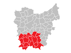
The Flemish Ardennes (Dutch language, Dutch: ''Vlaamse Ardennen'') is an informal name given to a hilly region in the south of the province of East Flanders, Belgium. Highest summit is the Hotondberg (151 m). Main characteristics of the region are rural hilly landscapes with hilltop bluebell woodlands (Muziekbos, Brakelbos, Kluisbos), windmills and watermills. The area is distinct and not adjacent to the larger Ardennes, which is further to the south east of the country in Wallonia, France, Germany and Luxembourg. Among the largest towns in the area are Oudenaarde, Ronse, Zottegem and Geraardsbergen. Cycling is particularly popular in the Flemish Ardennes. Many major bike races are held here, including a large part of the Tour of Flanders (other), Tour of Flanders. Most of its toughest climbs (Koppenberg, Taaienberg, Molenberg (Zwalm), Molenberg, Paterberg, Oude Kwaremont, Muur van Geraardsbergen, Eikenberg) and most of its cobblestone-street sections (Paddestraat) are ... [...More Info...] [...Related Items...] OR: [Wikipedia] [Google] [Baidu] |
Waasland
The Waasland (, archaically "Waesland") or Land van Waas () is a historic region in northern Belgium. It is part of the Belgian province of East Flanders. The other borders are with the Scheldt and Durme rivers (east and south) and, to the north, the border with the Dutch region of Zeelandic Flanders. The (informal) capital and major city of the region is Sint-Niklaas. Waas most likely refers to the soggy soil of the region although the exact etymology is unknown. One possibility is a connection to the English word "wasteland". The swamps that characterized it have long been drained although many fields are still noticeably convex; the result of many years of plowing the topsoil towards the center to improve drainage. Historically, on account of its waterlogged, poor soils the region was thinly populated in comparison to the rest of Belgium and agriculture was by necessity based on holder farms using innovative techniques not usually applied elsewhere even if the farmers had re ... [...More Info...] [...Related Items...] OR: [Wikipedia] [Google] [Baidu] |
Meetjesland
The Meetjesland () is a historical region in the north-west of the province East Flanders in Belgium. Etymology There are many legends surrounding the origin of the name. The most known is the one of Emperor Charles V (Charles V) who was known for his sexual appetite. The story goes that when he traveled through the region people hid their daughters and their attractive young women, making emperor Charles think this region was full of old women (meetjes). Geography Due to its historical nature, "Meetjesland" is not a fixed region as such. Even so, it is widely accepted to comprise the following municipalities: * Aalter * Assenede *Eeklo * Evergem *Kaprijke * Knesselare * Lovendegem *Maldegem *Nevele * Sint-Laureins * Waarschoot * Wachtebeke * Zelzate * Zomergem Eeklo Eeklo () is a Belgium, Belgian Municipalities in Belgium, municipality in the Flemish Region, Flemish Provinces of Belgium, province of East Flanders. The municipality comprises only the city of Eeklo proper. The n ... [...More Info...] [...Related Items...] OR: [Wikipedia] [Google] [Baidu] |
Denderstreek
The Denderstreek or Denderland is a region in Belgium. It is named after the river Dender. Though the river stretches over three provinces, Hainaut (province), Hainaut, East Flanders and Flemish Brabant, the region called after the river is situated in East Flanders. Most of the Denderstreek is part of the Scheldeland (Scheldtland), the rest is part of the Flemish Ardennes. Etymology The Dutch language, Dutch word ''streek'' means "region". Thus, Denderstreek means "Dender Region". Towns and communities The Denderstreek includes the following towns and communities: * Aalst, Belgium, Aalst contains: Aalst, Baardegem, Erembodegem, Gijzegem, Herdersem, Hofstade (Aalst), Hofstade, Meldert (East Flanders), Meldert, Moorsel, Nieuwerkerken-Aalst, Nieuwerkerken and Terjoden * Buggenhout contains: Briel (parish), Briel, Buggenhout, Opdorp and Opstal * Denderleeuw contains: Denderleeuw, Iddergem and Welle * Dendermonde contains: Appels, Baasrode, Dendermonde, Grembergen, Mespelare, Oud ... [...More Info...] [...Related Items...] OR: [Wikipedia] [Google] [Baidu] |
Flag Of Flanders
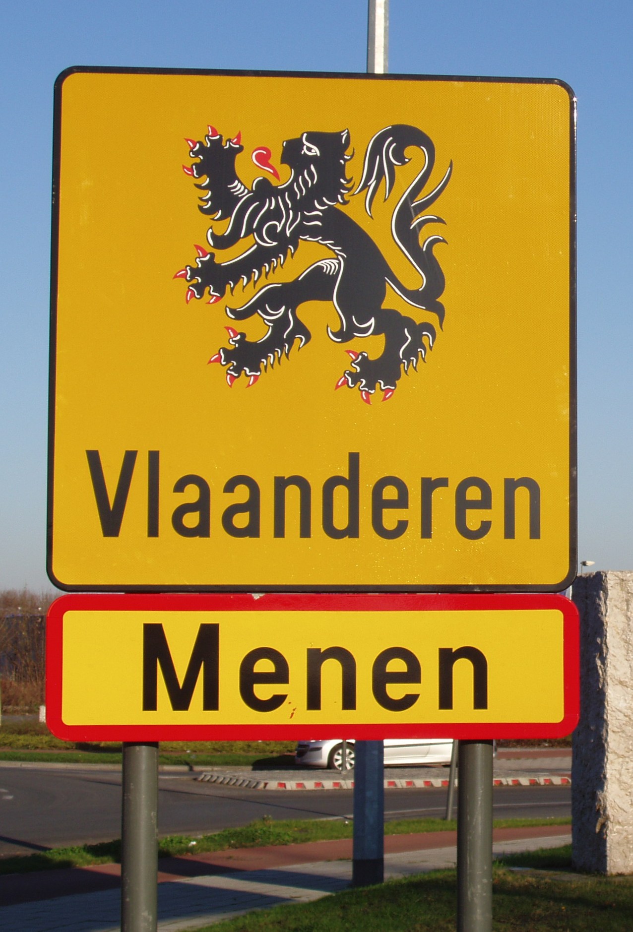
The flag of Flanders, sometimes called the ''Vlaamse Leeuw'' ("Flemish Lion") or ''leeuwenvlag'' ("Lion flag"), is the flag of the Flemish Community and Flemish Region in Belgium. The flag was officially adopted by the Cultural Council for the Dutch Cultural Community (''Cultuurraad voor de Nederlandse Cultuurgemeenschap'') in 1973, and later, in 1985, by its successor, the Flemish Parliament. In 1990, the coat of arms was also adopted as an official symbol. The flag of Flanders is described as ''Or, a lion rampant armed and langued Gules.'' History History of the lion The Flemish lion derives from the arms of the Counts of Flanders. Their first appearance is on a seal of Count Philip, Count of Flanders, Philip of Alsace, dating from 1163. As such they constitute the oldest of the many territorial arms bearing a lion in the Low Countries. Still, Count Philip was not the first of his line to bear a lion, for his cousin, William of Ypres, already used a seal with a lion passa ... [...More Info...] [...Related Items...] OR: [Wikipedia] [Google] [Baidu] |
Flemish Region
The Flemish Region (, ), usually simply referred to as Flanders ( ), is one of the three communities, regions and language areas of Belgium, regions of Belgium—alongside the Wallonia, Walloon Region and the Brussels, Brussels-Capital Region. Covering the northern portion of the country, the Flemish Region is primarily Dutch language, Dutch-speaking. With an area of , it accounts for only 45% of Belgium's territory, but 58% of its population. It is one of the most densely populated regions of Europe with around . The Flemish Region is distinct from the Flemish Community: the latter encompasses both the inhabitants of the Flemish Region and the Dutch-speaking minority living in the Brussels, Brussels-Capital Region. It borders the Netherlands and France. Politics Immediately after its establishment in 1980, the region transferred all its constitutional competencies to the Flemish Community. Thus, the current Flemish authorities (Flemish Parliament and Flemish Government) repre ... [...More Info...] [...Related Items...] OR: [Wikipedia] [Google] [Baidu] |
County Of Flanders
The County of Flanders was one of the most powerful political entities in the medieval Low Countries, located on the North Sea coast of modern-day Belgium and north-eastern France. Unlike the neighbouring states of Duchy of Brabant, Brabant and County of Hainaut, Hainaut, it was within the territory of the France in the Middle Ages, Kingdom of France. The counts of Flanders held the most northerly part of the kingdom, and were among the original twelve Peerage of France#Under the Monarchy: feudal period and Ancien Régime, peers of France. For centuries, the economic activity of the Flemish cities, such as Ghent, Bruges and Ypres, made Flanders one of the most affluent regions in Europe, and also gave them strong international connections to trading partners. Up to 1477, the core area under French suzerainty was west of the Scheldt and historians call this "Royal Flanders" (Dutch: ''Kroon-Vlaanderen'', French: ''Flandre royale''). Aside from this, the counts, from the 11th centu ... [...More Info...] [...Related Items...] OR: [Wikipedia] [Google] [Baidu] |


