|
County Borough Of West Ham
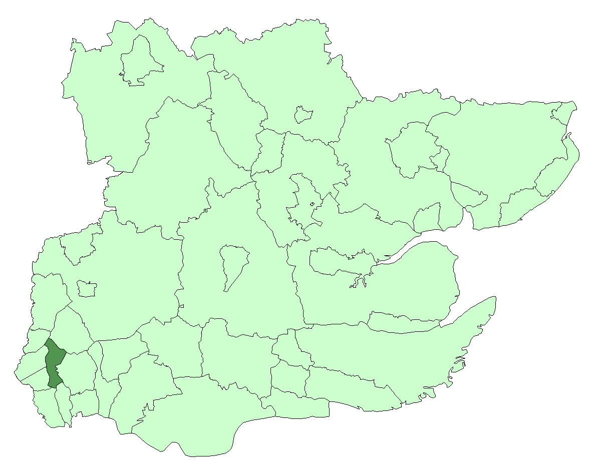
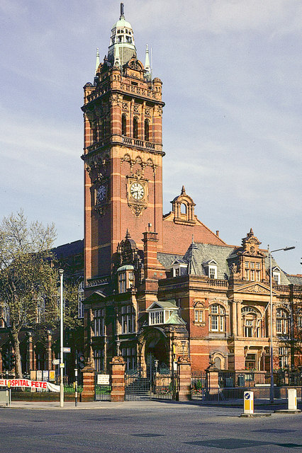
West Ham was a local government district in the extreme south west of Essex from 1886 to 1965, forming part of the built-up area of London, although outside the County of London. It was immediately north of the River Thames and east of the River Lea. Area and boundaries The borough included Plaistow, West Ham, Stratford, Canning Town and Silvertown – all of the current-day London Borough of Newham west of Green Street. At the time of the 1901 census it was the ninth most populous town or district in England with a population of 267,308. The borough formed part of London's built-up area, was part of the London postal district and the Metropolitan Police District. From 1934 to 1965 it was surrounded by the County Borough of East Ham to the east, the municipal boroughs of Wanstead and Woodford and Leyton to the north, and the metropolitan boroughs of Poplar to the west and Greenwich to the south. Predecessors West Ham underwent rapid growth from 1844 following the Metropoli ... [...More Info...] [...Related Items...] OR: [Wikipedia] [Google] [Baidu] |
Stratford, London
Stratford is a town in east London, England, within the ceremonial county of Greater London. Until 1965 it was within the historic county of Essex. Part of the Lower Lea Valley, Stratford is situated 6 miles (10 km) east-northeast of Charing Cross, and includes the localities of Maryland and East Village. Part of the London Borough of Newham, a local government district of Greater London, it was previously part of the parish of West Ham, which historically formed an ancient parish in the hundred of Becontree. Following reform of local government in London in 1965, the parish and borough of West Ham was abolished, becoming part of the borough of Newham in the newly formed Greater London administrative area and ceremonial county. Stratford grew rapidly in the 19th century following the introduction of the railway to the area in 1839, forming part of the conurbation of London, similar to much of south-west Essex. The late 20th century was a period of severe economic dec ... [...More Info...] [...Related Items...] OR: [Wikipedia] [Google] [Baidu] |
Canning Town
Canning Town is a district in the London Borough of Newham, East London. The district is located to the north of the Royal Victoria Dock, and has been described as the "Child of the Victoria Docks" as the timing and nature of its urbanisation was largely due to the creation of the dock. The area was part of the ancient parish of West Ham, in the hundred of Becontree, and part of the historic county of Essex. It forms part of the London E16 postcode district. The area, the location of the Rathbone Market, is undergoing significant regeneration . According to Newham Council: "The Canning Town and Custom House Regeneration Programme includes the building of up to 10,000 new homes, creation of thousands of new jobs and two improved town centres. This £3.7 billion project aims to transform the area physically, socially and economically." History Prior to the 19th century, the district was largely marshland, and accessible only by boat, or a toll bridge. In 1809, an Act o ... [...More Info...] [...Related Items...] OR: [Wikipedia] [Google] [Baidu] |
Royal Docks
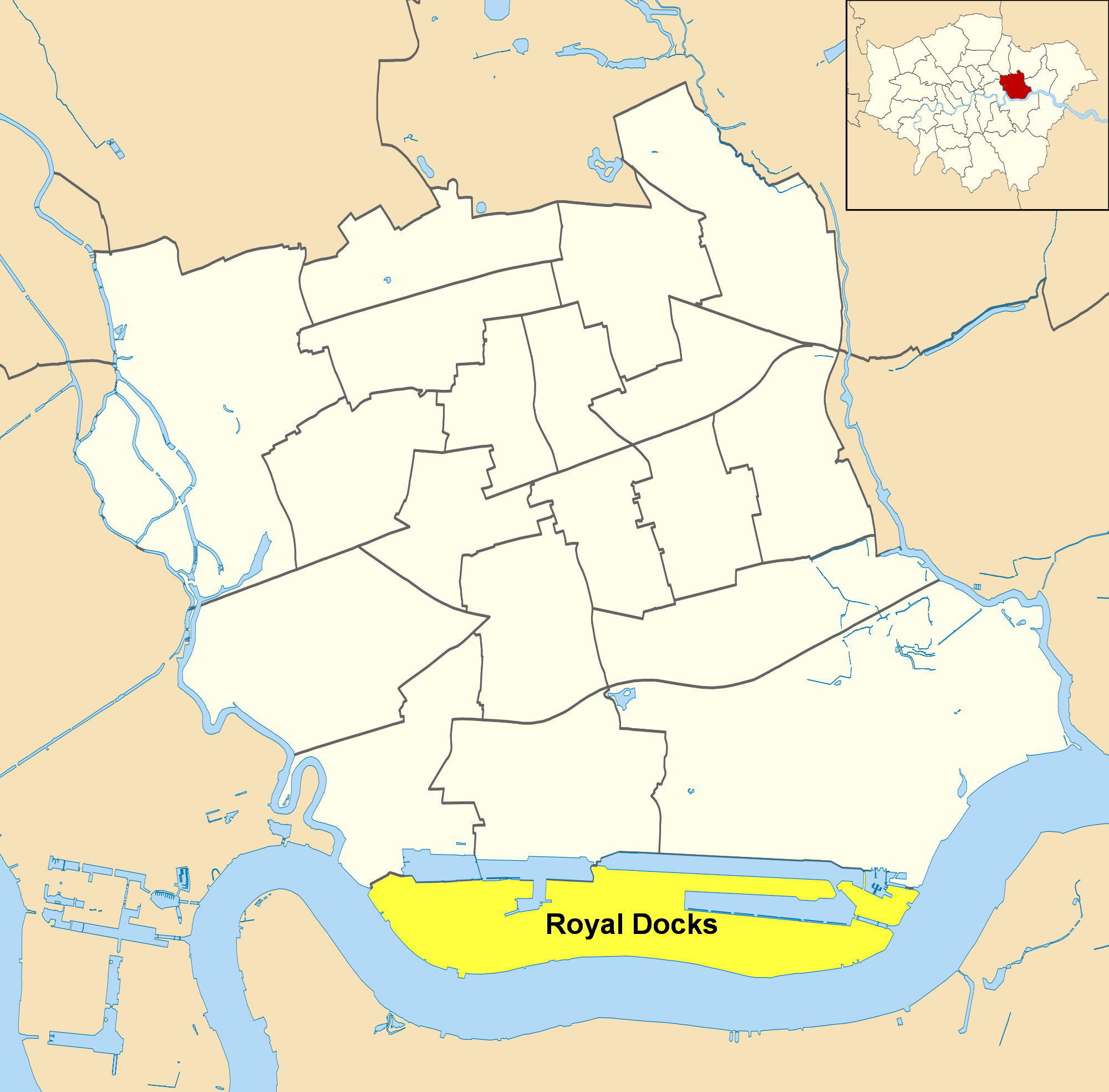
Royal Docks is an area and a ward in the London Borough of Newham in the London Docklands in East London, England. The area is named after three docks – the Royal Albert Dock, the Royal Victoria Dock and the King George V Dock. They are more correctly called the Royal Group of Docks to distinguish them from the Royal Dockyards, Royal being due to their naming after members of the royal family rather than Crown ownership. The three docks collectively formed the largest enclosed docks in the world, with a water area of nearly and an overall estate of . This is equivalent to the whole of central London from Hyde Park to Tower Bridge. The area was designated a special enterprise zone in 2012. North Woolwich is part of Royal Docks ward. Royal Docks is also a ward of the London Borough of Newham. At the 2011 Census it had a population of 10,679. History The three docks were completed between 1855 and 1921 on riverside marshes in East Ham and West Ham (now the London Borou ... [...More Info...] [...Related Items...] OR: [Wikipedia] [Google] [Baidu] |
The Times
''The Times'' is a British daily national newspaper based in London. It began in 1785 under the title ''The Daily Universal Register'', adopting its current name on 1 January 1788. ''The Times'' and its sister paper '' The Sunday Times'' (founded in 1821) are published by Times Newspapers, since 1981 a subsidiary of News UK, in turn wholly owned by News Corp. ''The Times'' and ''The Sunday Times'', which do not share editorial staff, were founded independently and have only had common ownership since 1966. In general, the political position of ''The Times'' is considered to be centre-right. ''The Times'' is the first newspaper to have borne that name, lending it to numerous other papers around the world, such as ''The Times of India'', ''The New York Times'', and more recently, digital-first publications such as TheTimesBlog.com (Since 2017). In countries where these other titles are popular, the newspaper is often referred to as , or as , although the newspaper is of nat ... [...More Info...] [...Related Items...] OR: [Wikipedia] [Google] [Baidu] |
All Saints Church, West Ham
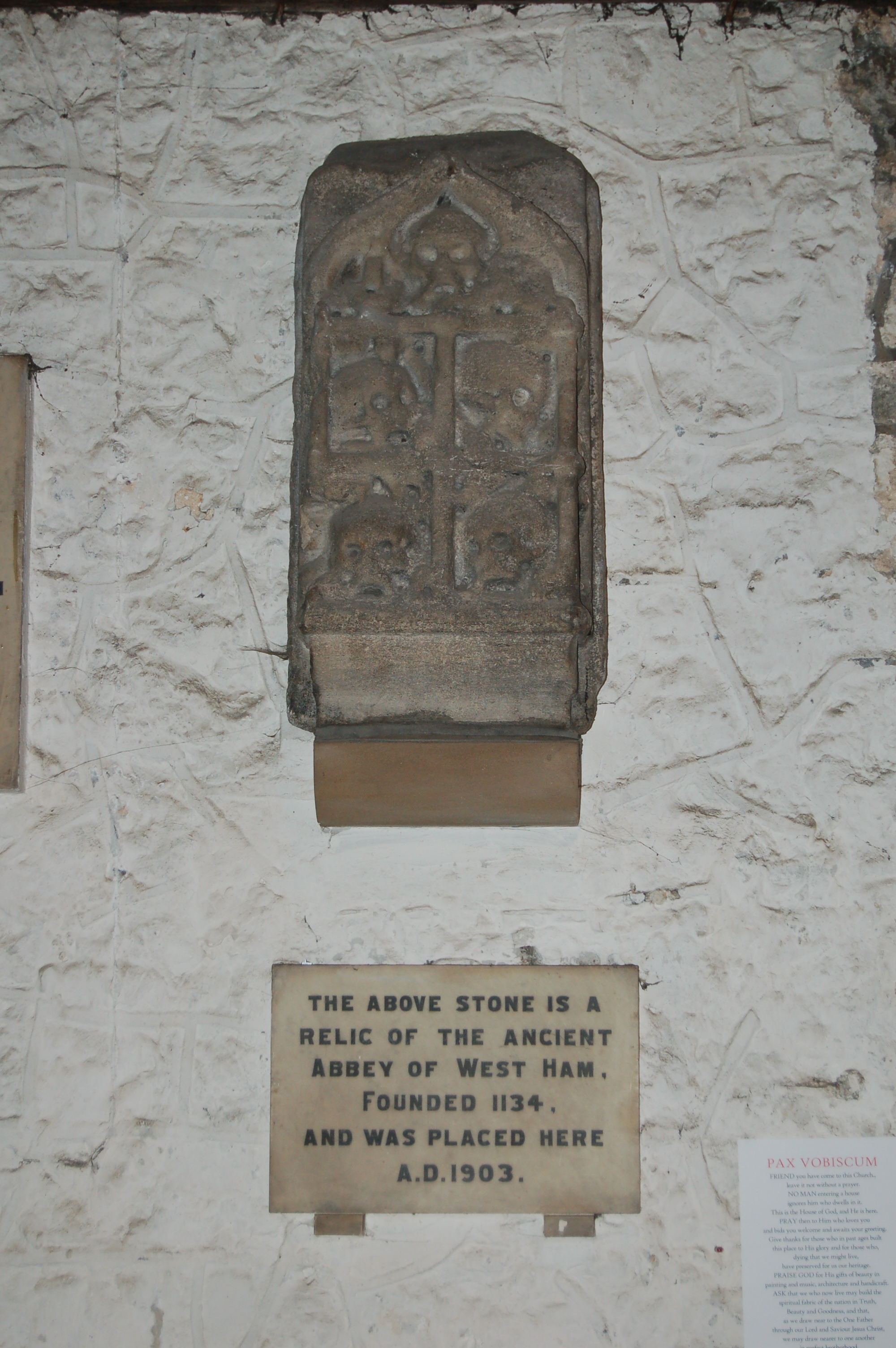
All Saints Church is a parish church in West Ham, an area in east London. It has been a Grade I listed building since 1984. History Medieval and Tudor In the medieval era the church's parish included all of West Ham, with the one exception of the 24 acres within Stratford Langthorne Abbey's precincts, which formed a separate parish of St Mary and All Saints until the abbey was dissolved, that parish's church was destroyed and the parish itself merged into All Saints. There has been a building on the site since at least the late 12th century - the three blocked clerestory windows on either side of the present building's nave date to that time. One of the founding endowments for the Abbey was land that had belonged to "Ranulph the priest", implying the existence of a parish church. The first concrete reference is a charter of 1181-82 by Henry II of England which confirmed the church of West Ham to the abbey. Gilbert Foliot, bishop of London also assigned a vicar to the parish chu ... [...More Info...] [...Related Items...] OR: [Wikipedia] [Google] [Baidu] |
Metropolitan Building Act
The Metropolitan Buildings Office was formed in 1845 to regulate the construction and use of buildings in the metropolitan area of London, England. Surveyors were empowered to enforce building regulations which sought to improve the standard of houses and business premises, and to regulate activities that might threaten public health. In 1855 the assets, powers and responsibilities of the office passed to the Metropolitan Board of Works. Formation The office was established by the Metropolitan Buildings Act 1844 (7 & 8 Vict., c.84 with the following purposes: * Improvement of drainage * Securing sufficient width of streets to ensure adequate ventilation * Regulation of explosive works * Regulation of "deleterious" works * To appoint officers to superintend the Act Places under the Act The limits in which the Act were to operate were defined as: * On the north side of the River Thames the area within the external boundaries of the parishes of Fulham, Hammersmith, Kensington, Paddi ... [...More Info...] [...Related Items...] OR: [Wikipedia] [Google] [Baidu] |
Metropolitan Borough Of Greenwich
The Metropolitan Borough of Greenwich was a metropolitan borough in the County of London between 1900 and 1965. It bordered the boroughs of Woolwich, Lewisham and Deptford and, across the River Thames, the borough of Poplar and the County Borough of West Ham in Essex. Within the area of the borough were the Royal Naval College (now the National Maritime Museum), the Royal Observatory and Greenwich Park. The borough was abolished in 1965, and its area was merged with that of the borough of Woolwich to form the London Borough of Greenwich within the new ceremonial county of Greater London. Formation and boundaries The borough was formed from four civil parishes: Charlton-next-Woolwich, Deptford St Nicholas, Greenwich and Kidbrooke. In 1901 Charlton-next-Woolwich and Kidbrooke were merged to form Charlton and Kidbrooke. In 1930 the remaining three civil parishes were combined into a single civil parish called Borough of Greenwich, which was conterminous with the metropolitan ... [...More Info...] [...Related Items...] OR: [Wikipedia] [Google] [Baidu] |
Metropolitan Borough Of Poplar
Poplar was a local government district in the metropolitan area of London, England. It was formed as a district of the Metropolis in 1855 and became a metropolitan borough in the County of London in 1900. It comprised Poplar, Millwall, Bromley-by-Bow and Bow. Formation and boundaries The borough bordered the metropolitan boroughs of Hackney, Stepney, and Bethnal Green to the west and north, and the county of Essex to the east. To the south, the River Thames formed borders with the metropolitan boroughs of Bermondsey, Deptford and Greenwich. It was formed from three civil parishes: St Mary Stratford-le-Bow, St Leonard Bromley and All Saints Poplar. In 1907 these three were combined into a single civil parish called Poplar Borough, which was conterminous with the metropolitan borough. In 1965 the parish and borough were abolished, with their former area becoming part of the newly formed London Borough of Tower Hamlets. It included the districts of (from north to south ... [...More Info...] [...Related Items...] OR: [Wikipedia] [Google] [Baidu] |
Municipal Borough Of Leyton
A municipality is usually a single administrative division having corporate status and powers of self-government or jurisdiction as granted by national and regional laws to which it is subordinate. The term ''municipality'' may also mean the governing body of a given municipality. A municipality is a general-purpose administrative subdivision, as opposed to a special-purpose district. The term is derived from French and Latin . The English word ''municipality'' derives from the Latin social contract (derived from a word meaning "duty holders"), referring to the Latin communities that supplied Rome with troops in exchange for their own incorporation into the Roman state (granting Roman citizenship to the inhabitants) while permitting the communities to retain their own local governments (a limited autonomy). A municipality can be any political jurisdiction, from a sovereign state such as the Principality of Monaco, to a small village such as West Hampton Dunes, New York. The ... [...More Info...] [...Related Items...] OR: [Wikipedia] [Google] [Baidu] |
Municipal Borough Of Wanstead And Woodford
Wanstead and Woodford was a local government district from 1934 to 1965 in southwest Essex, England. A merger of two former urban districts, it was suburban to London and part of the Metropolitan Police District. Background A local board of health was set up for the parish of Wanstead in 1854. The Local Government Act 1894 reconstituted its area as Wanstead Urban District, governed by Wanstead Urban District Council. Woodford parish adopted the Local Government Act 1858 in 1873, setting up a local board. In 1894 it became Woodford Urban District, governed by Woodford Urban District Council. In 1934, as part of a county review order, a new urban district was created as a merger of their areas. District and borough The urban district became a municipal borough in 1937. In 1956 the municipal borough was enlarged by gaining from the Municipal Borough of Ilford while were transferred the other way. Abolition In 1965, under the London Government Act 1963, the municipal borough wa ... [...More Info...] [...Related Items...] OR: [Wikipedia] [Google] [Baidu] |
County Borough Of East Ham
East Ham was a local government district in the far south west of Essex from 1878 to 1965. It extended from Wanstead Flats in the north to the River Thames in the south and from Green Street in the west to Barking Creek in the east. It was part of the London postal district and Metropolitan Police District. Local board and urban district East Ham Local Government District was created in 1878, when the parish of East Ham adopted the Local Government Act 1858, and formed a local board of nine members to govern the area. In 1886 the local government district was extended to include the civil parish of Little Ilford, and the board was increased to 12 in number. The Local Government Act 1894 reconstituted the area as an urban district, with an elected urban district council of 15 members replacing the board. In 1900 Little Ilford parish was abolished and its area absorbed into an enlarged East Ham. Incorporation On 27 August 1904 East Ham was granted a charter of incorporation cons ... [...More Info...] [...Related Items...] OR: [Wikipedia] [Google] [Baidu] |
Metropolitan Police District
The Metropolitan Police District (MPD) is the police area which is policed by the Metropolitan Police Service in London. It currently consists of the Greater London region, excluding the City of London. The Metropolitan Police District was created by the Metropolitan Police Act 1829 as an ad hoc area of administration because the built-up area of London spread at the time into many parishes and counties without an established boundary. The district expanded as the built up area grew and stretched some distance into rural land. When county police forces were set up in England, those of Essex, Hertfordshire, Kent and Surrey did not cover the parts of the counties within the MPD, while Middlesex did not have a county force. Similarly, boroughs in the MPD that elsewhere would have been entitled to their own police force did not have them. The MPD was originally defined in reference to civil parishes and in 1946 was altered to correspond to local government districts. The MPD has been ... [...More Info...] [...Related Items...] OR: [Wikipedia] [Google] [Baidu] |
.jpg)
_p18b_-_Bow_Bridge.jpg)


