|
Coalinga Field
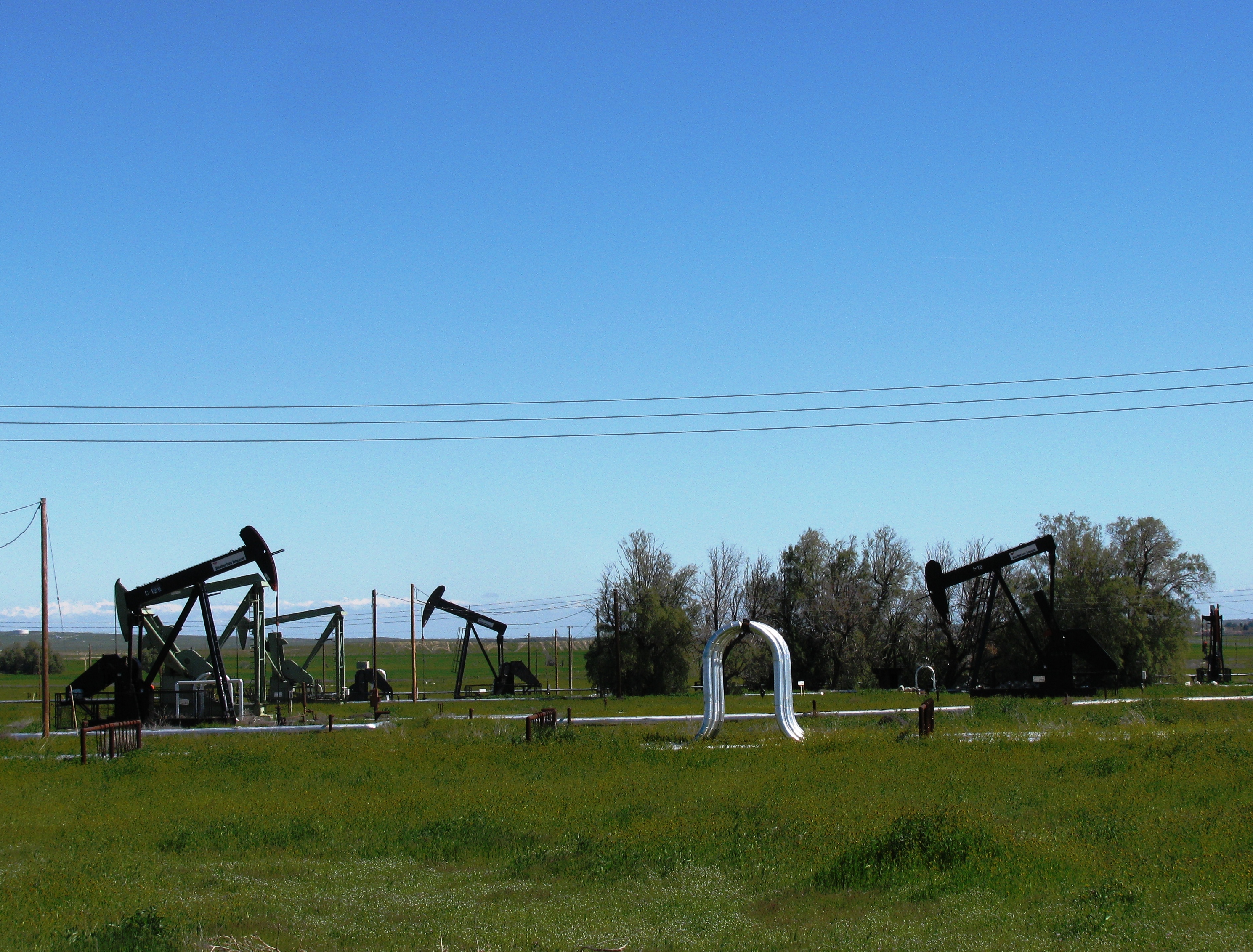
The Coalinga Oil Field is a large oil field in western Fresno County, California, in the United States. It surrounds the town of Coalinga, about halfway between Los Angeles and San Francisco, to the west of Interstate 5, at the foot of the Diablo Range. Discovered in the late 19th century, it became active around 1890, and is now the eighth-largest oil field in California, with reserves totaling approximately , and over 1,600 active oil wells.California Department of Conservation, Oil and Gas Statistics, Annual Report, December 31, 2006 p. 2 The principal operators on the field, as of 2008, were |
Coalinga
Coalinga ( or ) is a city in Fresno County and the western San Joaquin Valley, in central California about 80 miles (128 km) southeast of Salinas. It was formerly known as ''Coaling Station A'', ''Coalingo'', and ''Coalinga Station''. The population was 13,380 as of the 2010 census, up from 11,668 at the 2000 census. It is the site of both Pleasant Valley State Prison and Coalinga State Hospital. History 19th century Legendary bandit Joaquin Murrieta was killed in 1853 at his headquarters, Arroyo de Cantua, north of Coalinga. California Historical Landmark #344 marks the approximate site of where he was slain, near the junction of present-day State Route 33 and Route 198. Before 20th-century diesel locomotives, steam locomotives were used, and powered in the San Joaquin Valley by burning coal mined from the northern foothills of Mount Diablo to the north. The Southern Pacific Railroad Company established the site as a coaling station in 1888, and it was called simpl ... [...More Info...] [...Related Items...] OR: [Wikipedia] [Google] [Baidu] |
Guijarral Hills Oil Field
The Guijarral Hills Oil Field is a formerly-productive oil and gas field near Coalinga on the western side of the Central Valley in central California in the United States. Discovered in 1948, and having produced of oil during its peak year in 1950, it now has but one active oil well producing a little over a barrel of oil a day, and is very near to exhaustion, with only 343,000 recoverable barrels of oil remaining throughout its extent according to the official California State Department of Conservation estimate. p. 101-2. As of 2010, the only active operator was Longview Production Company. Setting The Guijarral Hills are a low range of hills, rising a little more than a hundred feet above the floor of the San Joaquin Valley to the east, and scarcely noticeable in the shadow of the nearby Coast Range of central California. These low hills are the surface expression of the southern portion of the Coalinga Anticline, which separates the smaller, largely agricultural Pleas ... [...More Info...] [...Related Items...] OR: [Wikipedia] [Google] [Baidu] |
Structural Trap
In petroleum geology, a trap is a geological structure affecting the reservoir rock and caprock of a petroleum system allowing the accumulation of hydrocarbons in a reservoir. Traps can be of two types: stratigraphic or structural. Structural traps are the most important type of trap as they represent the majority of the world's discovered petroleum resources. Structural traps A structural trap is a type of geological trap that forms as a result of changes in the structure of the subsurface, due to tectonic, diapiric, gravitational and compactional processes. Anticlinal trap An anticline is an area of the subsurface where the strata have been pushed into forming a domed shape. If there is a layer of impermeable rock present in this dome shape, then hydrocarbons can accumulate at the crest until the anticline is filled to the ''spill point'' - the highest point where hydrocarbons can escape the anticline. This type of trap is by far the most significant to the hydrocarbon ... [...More Info...] [...Related Items...] OR: [Wikipedia] [Google] [Baidu] |
Eocene
The Eocene ( ) Epoch is a geological epoch that lasted from about 56 to 33.9 million years ago (mya). It is the second epoch of the Paleogene Period in the modern Cenozoic Era. The name ''Eocene'' comes from the Ancient Greek (''ēṓs'', " dawn") and (''kainós'', "new") and refers to the "dawn" of modern ('new') fauna that appeared during the epoch. The Eocene spans the time from the end of the Paleocene Epoch to the beginning of the Oligocene Epoch. The start of the Eocene is marked by a brief period in which the concentration of the carbon isotope 13C in the atmosphere was exceptionally low in comparison with the more common isotope 12C. The end is set at a major extinction event called the ''Grande Coupure'' (the "Great Break" in continuity) or the Eocene–Oligocene extinction event, which may be related to the impact of one or more large bolides in Siberia and in what is now Chesapeake Bay. As with other geologic periods, the strata that define the start and ... [...More Info...] [...Related Items...] OR: [Wikipedia] [Google] [Baidu] |
Midway-Sunset Oil Field
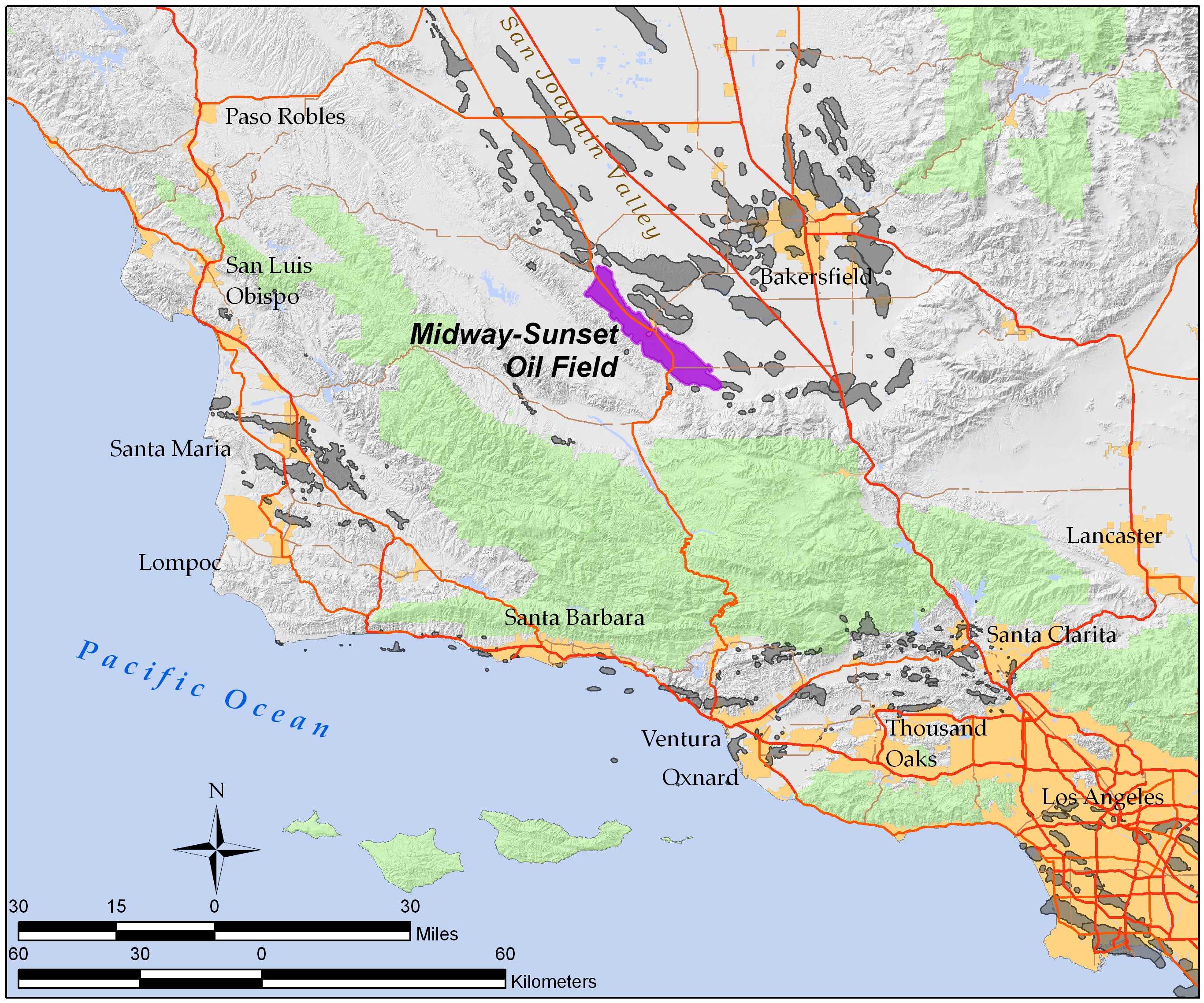
The Midway-Sunset Oil Field is a large oil field in Kern County, San Joaquin Valley, California in the United States. It is the largest known oilfield in California and the third largest in the United States. The field was discovered in 1894, and through the end of 2006 had produced close to of oil. At the end of 2008 its estimated reserves amounted to approximately , 18% of California's estimated total. p. 63 Setting The oil field runs southeast to northwest, with a length of approximately and a width of , from east of Maricopa to south of McKittrick, paralleling the Temblor Range to the southwest. Most of the oil field is in the Midway Valley and the northeastern foothills of the Temblor Range. To the northeast are the Buena Vista Hills, paralleling the Midway Valley and the Temblors; the mostly exhausted, and partially abandoned Buena Vista Oil Field lies beneath this adjacent low range of hills. State Route 33 runs along the axis of the Midway-Sunset for much of ... [...More Info...] [...Related Items...] OR: [Wikipedia] [Google] [Baidu] |
Cymric Oil Field
The Cymric Oil Field is a large oil field in Kern County, California, in the United States. While only the 14th-largest oil field in California in total size, in terms of total remaining reserves it ranks fifth, with the equivalent of over still in the ground. Production at Cymric has been increasing faster than at any other California oil field.California Department of Conservation, Oil and Gas Statistics, Annual Report, December 31, 2006 p. 2 Setting The Cymric field is in the Temblor Valley, along the west side of State Route 33, between that hi ...[...More Info...] [...Related Items...] OR: [Wikipedia] [Google] [Baidu] |
Kettleman Hills Oil Field
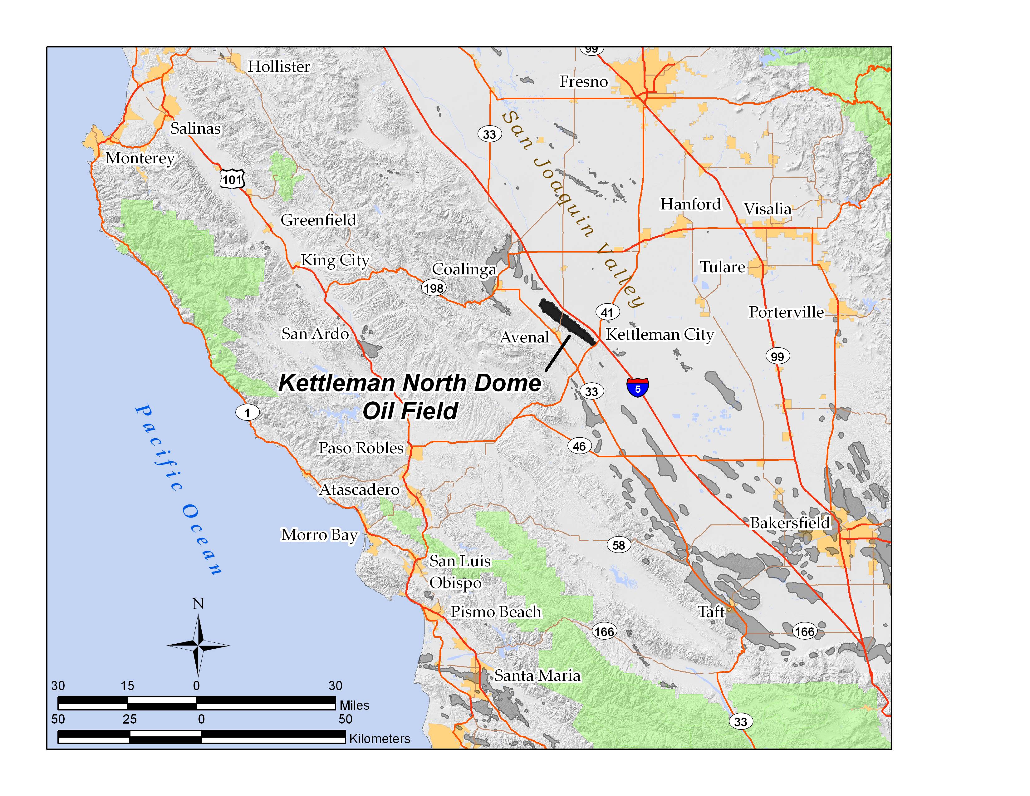
The Kettleman North Dome Oil Field is a large oil and gas field in Kings and Fresno counties, California. Discovered in 1928, it is the fifteenth largest field in the state by total ultimate oil recovery, and of the top twenty oil fields, it is the closest to exhaustion, with less than one-half of one percent of its original oil remaining in place.California Department of Conservation, Oil and Gas Statistics, Annual Report, 31 December 2006 p. 67 Setting The Kettleman North Dome occupies the northernmost portion of the[...More Info...] [...Related Items...] OR: [Wikipedia] [Google] [Baidu] |
South Belridge Oil Field
The South Belridge Oil Field is a large oil field in northwestern Kern County, San Joaquin Valley, California, about forty miles west of Bakersfield. Discovered in 1911, and having a cumulative production of over of oil at the end of 2008, it is the fourth-largest oil field in California, after the Midway-Sunset Oil Field, Kern River Oil Field, and Wilmington Oil Field, and is the sixth-most productive field in the United States. Its estimated remaining reserves, as of the end of 2008, were around , the second-largest in the state, and it had 6,253 active wells. p. 63. The principal operator on the field was Aera Energy LLC, a joint venture between Royal Dutch Shell and ExxonMobil. Additionally, the field included the only onshore wells in California owned and operated by ExxonMobil. Setting The oil field is located along State Route 33, between the junctions with State Route 58 on the south and State Route 46 on the north. The field is in an area of gentle slope to ... [...More Info...] [...Related Items...] OR: [Wikipedia] [Google] [Baidu] |
Lost Hills Oil Field
The Lost Hills Oil Field is a large oil field in the Lost Hills Range, north of the town of Lost Hills in western Kern County, California, in the United States. Production While only the 18th-largest oil field in California in size, in total remaining reserves it ranks sixth, with the equivalent of over producible reserves still in the ground, according to the California Division of Oil, Gas and Geothermal Resources (Chevron Corp., the principal operator, estimates considerably more oil in the ground). Production at Lost Hills has been increasing steadily: as of the end of 2006, it was California's second fastest-growing oil field, exceeded only by the nearby Cymric Field. The Lost Hills field also contains considerable reserves of natural gas. In 1998, one of the field's gas wells was the site of a spectacular blowout, producing a pillar of fire which burned for 14 days and was visible more than away. Setting The Lost Hills Field underlies a long, low range of southeast-t ... [...More Info...] [...Related Items...] OR: [Wikipedia] [Google] [Baidu] |


