|
Chernihivska (Kyiv Metro)
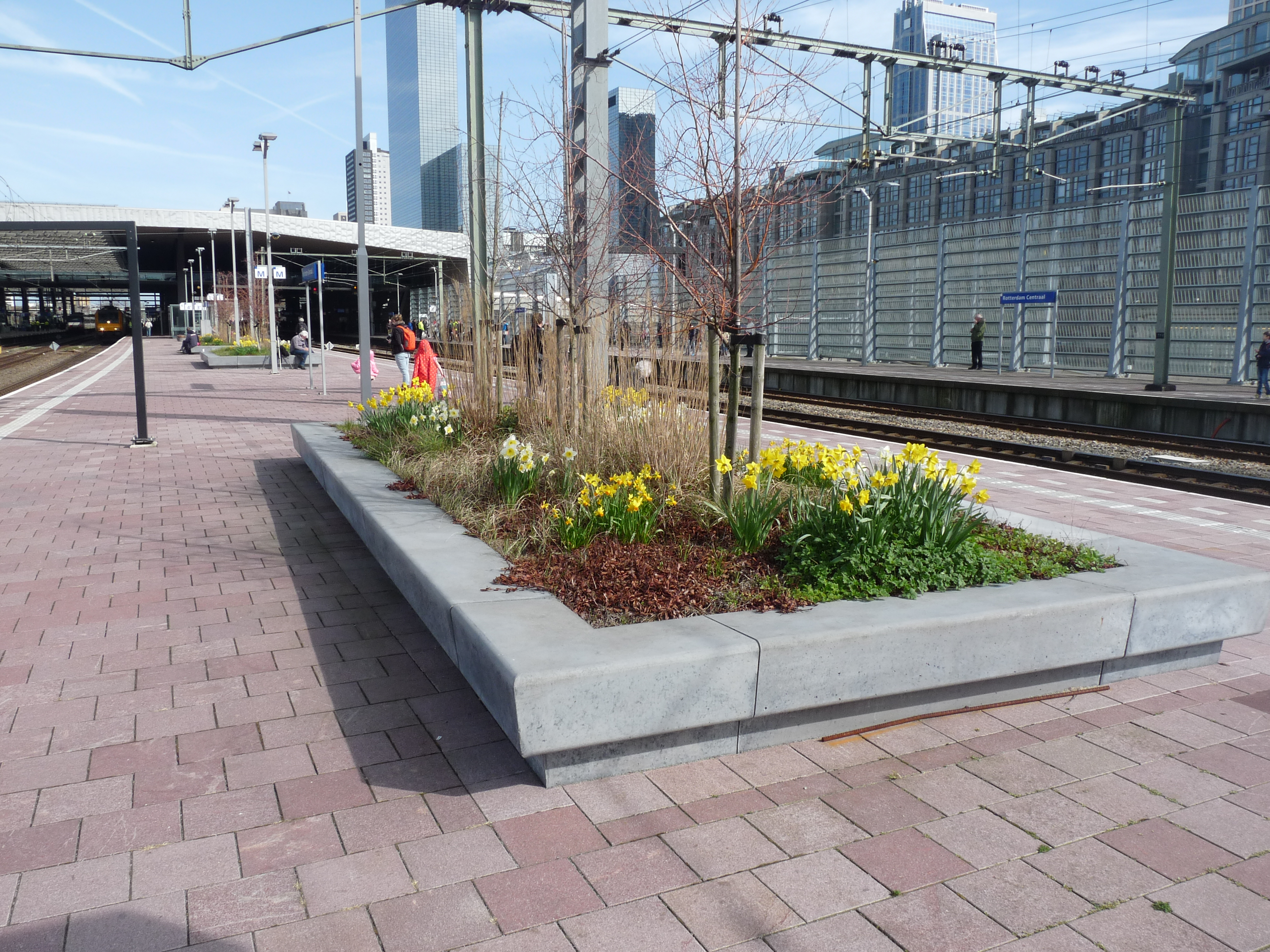
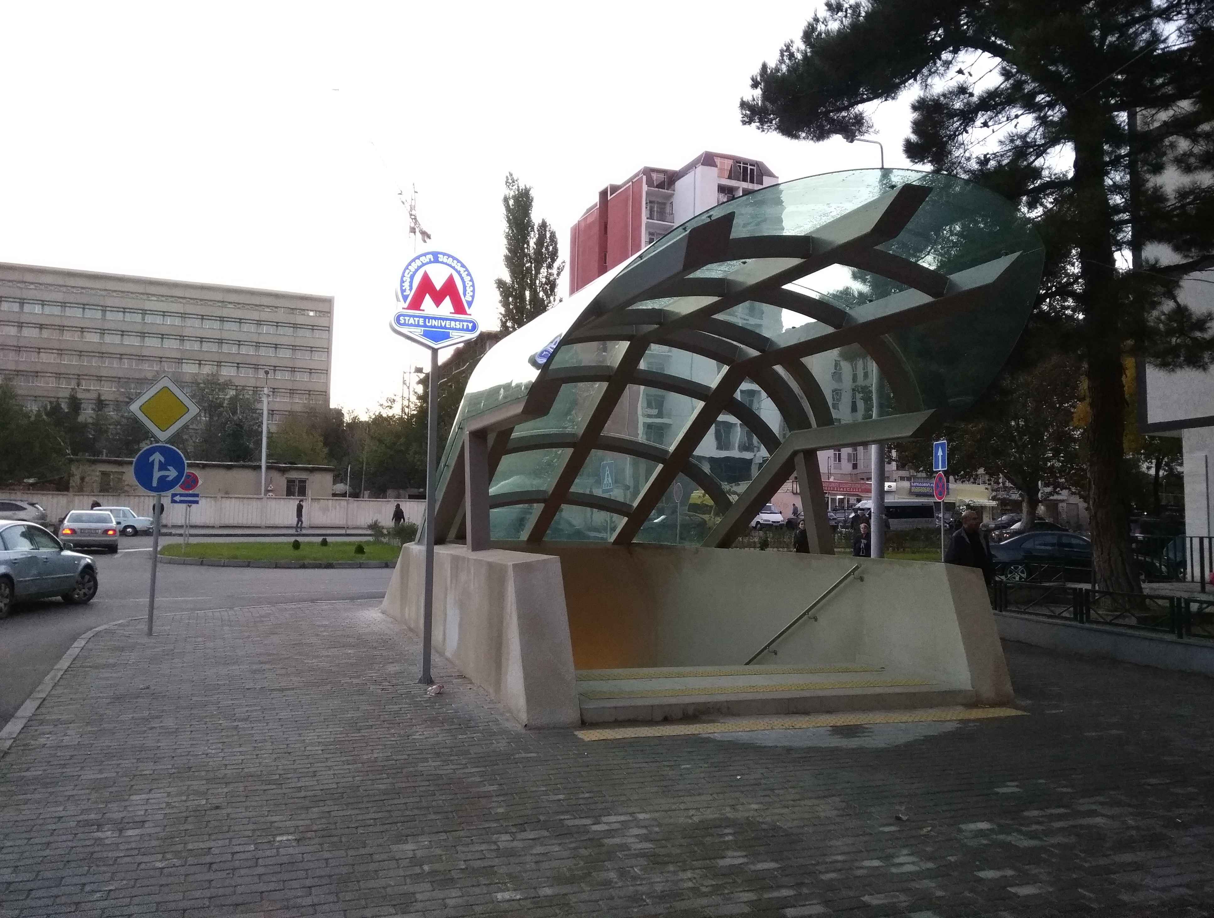
Chernihivska ( uk, Чернiгiвська, ) is a Kyiv Metro station on the Sviatoshynsko-Brovarska Line. The station was built as a single extension to the newer housing massifs built on the eastern edge of Kyiv. Located next to the intersection of Brovary Avenue and Bratislava Street, it is a surface station built to the identical design that was popular throughout the Soviet Union at the time, matching five stations on the Moscow Metro (such as Bagrationovskaya Bagrationovskaya (russian: Багратионовская) is a Moscow Metro station, located on the surface portion of the Filyovskaya Line The Filyovskaya line (russian: Филёвская ли́ния, ), or Line 4 and 4A, is a line of the ...) and one on Tbilisi Metro ( Dibube). Chernihivska's design (architects I. Maslenikov, V. Bogdanovskaya, T. Tselikovskaya) consists of two levels, a lower platform level and an upper street level. The latter is made with two square glazed vestibules ... [...More Info...] [...Related Items...] OR: [Wikipedia] [Google] [Baidu] |
Desnianskyi District, Kyiv
Desnianskyi District ( uk, Деснянський район, translit. Desnians’kyi raion) is an administrative raion (district or borough) of the city of Kyiv, the capital of Ukraine. It is located in the north-eastern part of the city on the Left Bank of the Dnieper River and is the most populous district of Kyiv. It is also the second largest district, with the total area of ca. 14.2 ha. Desnianskyi District mainly consists of two microdistricts – Troieshchyna and Lisovyi – making it predominantly residential in nature. There is only one clear-cut, (yet small) industrial zone called Kulykove on the border with Dniprovskyi Raion. This fact explains why the district has the lowest number of registered business entities among Kyiv raions. Much like commuter town, therefore, Desnianskyi District has very little commercial or industrial activity beyond a small amount of retail, oriented toward serving the locals. However, it differs from commuter towns in that it form ... [...More Info...] [...Related Items...] OR: [Wikipedia] [Google] [Baidu] |
Didube (Tbilisi Metro)
Didube ( ka, დიდუბე) is a metro station in Tbilisi, Georgia. It is located on the Akhmeteli–Varketili Line. Didube is three stations from the central station, and five from the city's main street (Rustaveli Avenue metro station, Tbilisi Rustaveli Avenue), in between Gotsiridze and Grmagele stations. The station is above ground. The Didube markets are located nearby, and the city's main bus station lies adjacent to the metro station. As buses to a number of locations, such as Vladikavkaz and the ski-fields at Bakuriani depart from there, it is common for people to catch the metro to Didube, and then change to the buses. If the planned third line for the Tbilisi Metro goes ahead, it will interlink with the Akhmeteli–Varketili Line at this station. On 9 October 1997, a former policeman blew himself up with a homemade bomb at the station. No one else was injured. See also * List of Tbilisi metro stations The following is a list of the 23 stations of the Tbilisi ... [...More Info...] [...Related Items...] OR: [Wikipedia] [Google] [Baidu] |
Kyiv Metro Stations
Kyiv, also spelled Kiev, is the capital and most populous city of Ukraine. It is in north-central Ukraine along the Dnieper River. As of 1 January 2021, its population was 2,962,180, making Kyiv the seventh-most populous city in Europe. Kyiv is an important industrial, scientific, educational, and cultural center in Eastern Europe. It is home to many high-tech industries, higher education institutions, and historical landmarks. The city has an extensive system of public transport and infrastructure, including the Kyiv Metro. The city's name is said to derive from the name of Kyi, one of its four legendary founders. During its history, Kyiv, one of the oldest cities in Eastern Europe, passed through several stages of prominence and obscurity. The city probably existed as a commercial center as early as the 5th century. A Slavic settlement on the great trade route between Scandinavia and Constantinople, Kyiv was a tributary of the Khazars, until its capture by the Varangia ... [...More Info...] [...Related Items...] OR: [Wikipedia] [Google] [Baidu] |
Independence Of Ukraine
The Act of Declaration of Independence of Ukraine ( uk, Акт проголошення незалежності України, Akt proholoshennya nezalezhnosti Ukrayiny) was adopted by the Supreme Soviet of the Ukrainian SSR on 24 August 1991.A History of Ukraine: The Land and Its Peoples by , , 2010, (page ... [...More Info...] [...Related Items...] OR: [Wikipedia] [Google] [Baidu] |
Komsomol
The All-Union Leninist Young Communist League (russian: link=no, Всесоюзный ленинский коммунистический союз молодёжи (ВЛКСМ), ), usually known as Komsomol (; russian: Комсомол, links=no ()), a syllabic abbreviation of the Russian ), was a political youth organization in the Soviet Union. It is sometimes described as the youth division of the Communist Party of the Soviet Union (CPSU), although it was officially independent and referred to as "the helper and the reserve of the CPSU". The Komsomol in its earliest form was established in urban areas in 1918. During the early years, it was a Russian organization, known as the Russian Young Communist League, or RKSM. During 1922, with the unification of the USSR, it was reformed into an all-union agency, the youth division of the All-Union Communist Party. It was the final stage of three youth organizations with members up to age 28, graduated at 14 from the Young Pione ... [...More Info...] [...Related Items...] OR: [Wikipedia] [Google] [Baidu] |
European Route E101
European route E 101 is a road part of the International E-road network. It begins in Moscow, Russia, and ends in Kyiv, Ukraine. It is long. Route *: Moscow - Kaluga - Bryansk - border with Ukraine *: border with Russia - Hlukhiv - Kipti *: Kipti - Kyiv References External links UN Economic Commission for Europe: Overall Map of E-road Network (2007) 101 101 may refer to: * 101 (number), the number * AD 101, a year in the 2nd century AD * 101 BC, a year in the 2nd century BC It may also refer to: Entertainment * ''101'' (album), a live album and documentary by Depeche Mode * "101" (song), ... European routes in Ukraine E101 {{Europe-road-stub ... [...More Info...] [...Related Items...] OR: [Wikipedia] [Google] [Baidu] |
Chernihiv
Chernihiv ( uk, Черні́гів, , russian: Черни́гов, ; pl, Czernihów, ; la, Czernihovia), is a city and municipality in northern Ukraine, which serves as the administrative center of Chernihiv Oblast and Chernihiv Raion within the oblast. Chernihiv's population is The city was designated as a Hero City during the 2022 Russian Invasion of Ukraine. Geography Chernihiv stands on the Desna River to the north-north-east of Kyiv. The area was served by Chernihiv Shestovytsia Airport prior to 2002, and during the Cold War it was the site of Chernihiv air base. History Etymology The name "Chernihiv" is a compound name, which begins with the root 'Cherni/Cherno,' which means "black" in Slavic. Scholars vary with interpretations of the second part of the name ("hiv"/gov", "говъ") though scholars such as Dr. Martin Dimnik, Professor of Medieval History at University of Toronto, connect Cerhnihov with the worship of "the black god" Chernibog. Early histor ... [...More Info...] [...Related Items...] OR: [Wikipedia] [Google] [Baidu] |
Lisova (Kyiv Metro)
Lisova ( uk, Лісова, ) is the terminus station of the Sviatoshynsko-Brovarska Line on the Kyiv Metro. It opened on 5 December 1979. It is also the last surface station in Kyiv. The extension to Lisova was built for reasons of Chernihivska's 1960s design proving incapable of handling mass crowds as a terminus, rather than the systematic expansion of Kyiv eastwards. Although for ease of construction the station was built on the surface, its architectural composition is nonetheless significantly different from the surface stations that precede it. The architecture (work of I.Maslenikov, T.Tselikovskaya, A.Krushinsky, N.Chuprina and others) feature innovations such as using escalators for ascending from an underground subway onto the platform. Decorations to the station include two rows of white marble faced pillars and between them a series of metallic artworks with ceramic and glass fillings (work of I.Levitskaya, Yu.Kislichenko and A.Sharay). Red and grey granite is used ... [...More Info...] [...Related Items...] OR: [Wikipedia] [Google] [Baidu] |
Railway Platform
A railway platform is an area alongside a railway track providing convenient access to trains. Almost all stations have some form of platform, with larger stations having multiple platforms. The world's longest station platform is at Hubbali Junction in India at .Gorakhpur gets world's largest railway platform ''The Times of India'' The Appalachian Trail station in the United States, at the other extreme, has a platform which is only long enough for a single bench. Among some United States train conductors the word "platform" has entered [...More Info...] [...Related Items...] OR: [Wikipedia] [Google] [Baidu] |
Tbilisi Metro
The Tbilisi Metro ( ka, თბილისის მეტროპოლიტენი) is a rapid transit system in the Georgian capital Tbilisi. Opened on 11 January 1966, it was the fourth metro system in the former Soviet Union. Like other ex-Soviet metros, most of the stations are very deep and vividly decorated. At present the system consists of two lines, in total length, serving 23 stations. In 2017, the Metro transported 113.827 million passengers. The Metro is operated by the Tbilisi Transport Company, which began operation the same year as the Tbilisi Metro, in 1966. History Tbilisi (officially known as Tiflis until 1936), the capital of Georgia, was considered historically to be one of the most important cities of the Soviet Union, particularly because of its political position as being the most significant city in the Caucasus and the capital of the Transcaucasian Socialist Federative Soviet Republic which lasted until 1936. The city grew quite rapidly during ... [...More Info...] [...Related Items...] OR: [Wikipedia] [Google] [Baidu] |
Dniprovskyi District, Kyiv
The Dniprovskyi District ( uk, Дніпровський район, ) is an Urban districts of Ukraine, urban district of the city of Kyiv, the capital of Ukraine. It is named after the Dnieper River, Dnipro River and is located on its Left-bank Ukraine, left-bank. Geography The Dniprovskyi District's area consists of a total of , which is approximately 8 percent of the city's total area. History On 23 May 1969, the Dniprovskyi District was established out of a portion of the city's Darnytskyi District based on a decree of the Presidium of the Supreme Soviet of the Ukrainian Soviet Socialist Republic, Presidium of the Verkhovna Rada of the Ukrainian Soviet Socialist Republic. See also * Subdivisions of Kyiv References External links * Urban districts of Kyiv States and territories established in 1969 1969 establishments in Ukraine Dniprovskyi District, Kyiv, {{KyivCity-geo-stub ... [...More Info...] [...Related Items...] OR: [Wikipedia] [Google] [Baidu] |

.jpg)


.jpg)

