|
Chat Moss
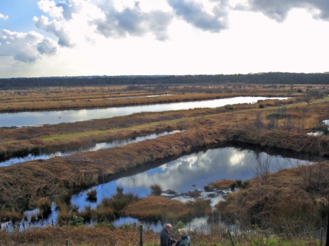
Chat Moss is a large area of peat bog that makes up part of the City of Salford, Metropolitan Borough of Wigan and Trafford in Greater Manchester, England. It also makes up part of Metropolitan Borough of St Helens in Merseyside and Warrington in Cheshire. North of the Manchester Ship Canal and River Mersey, to the west of Manchester, it occupies an area of about . As it might be recognised today, Chat Moss is thought to be about 7,000 years old, but peat development seems to have begun there with the ending of the last ice age, about 10,000 years ago. The depth of peat ranges from . A great deal of reclamation work has been carried out, particularly during the 19th century, but a large-scale network of drainage channels is still required to keep the land from reverting to bog. In 1958 workers extracting peat discovered the severed head of what is believed to be a Romano-British Celt, possibly a sacrificial victim, in the eastern part of the bog near Worsley. Much of ... [...More Info...] [...Related Items...] OR: [Wikipedia] [Google] [Baidu] |
City Of Salford
The City of Salford () is a metropolitan borough within Greater Manchester, England. The borough is named after its main settlement, Salford. The borough covers the towns of Eccles, Swinton, Walkden and Pendlebury, as well as the villages and suburbs of Monton, Little Hulton, Boothstown, Ellenbrook, Clifton, Cadishead, Pendleton, Winton and Worsley. The borough has a population of 270,000, and is administered from the Salford Civic Centre in Swinton. Salford is the historic centre of the Salford Hundred an ancient subdivision of Lancashire. The City of Salford is the 5th-most populous district in Greater Manchester. The city's boundaries, set by the Local Government Act 1972, include five former local government districts. It is bounded on the southeast by the River Irwell, which forms part of its boundary with Manchester to the east, and by the Manchester Ship Canal to the south, which forms its boundary with Trafford. The metropolitan boroughs of Wigan, Bo ... [...More Info...] [...Related Items...] OR: [Wikipedia] [Google] [Baidu] |
Romano-British
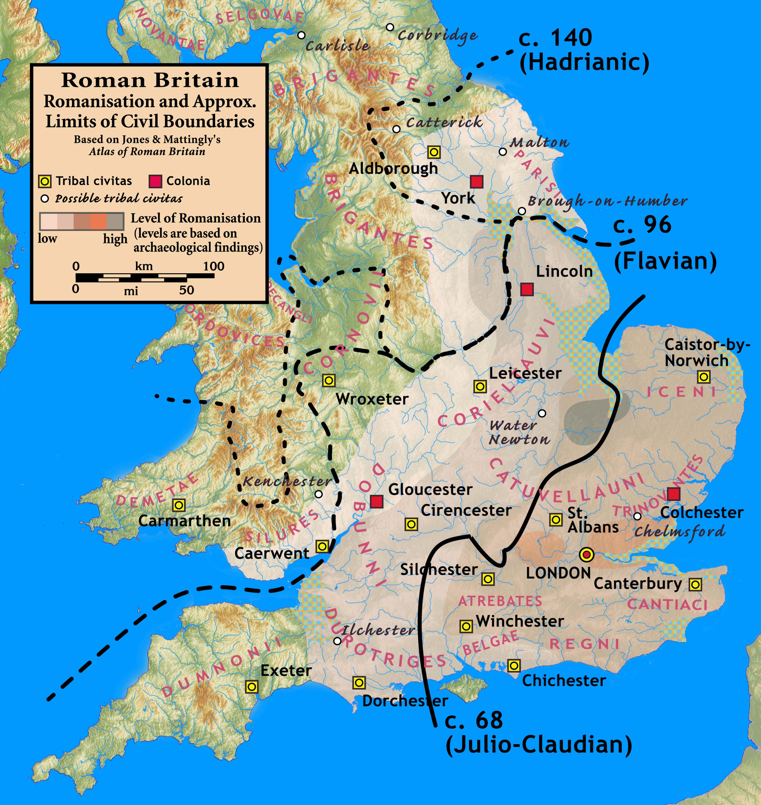
The Romano-British culture arose in Britain under the Roman Empire following the Roman conquest in AD 43 and the creation of the province of Britannia. It arose as a fusion of the imported Roman culture with that of the indigenous Britons, a people of Celtic language and custom. Scholars such as Christopher Snyder believe that during the 5th and 6th centuries – approximately from 410 when the Roman legions withdrew, to 597 when St Augustine of Canterbury arrived – southern Britain preserved an active sub-Roman culture that survived the attacks from the Anglo-Saxons and even used a vernacular Latin when writing. Arrival of the Romans Roman troops, mainly from nearby provinces, invaded in AD 43, in what is now part of England, during the reign of Emperor Claudius. Over the next few years the province of Britannia was formed, eventually including the whole of what later became England and Wales and parts of Scotland.Kinder, H. & Hilgemann W. ''The Penguin Atlas of World ... [...More Info...] [...Related Items...] OR: [Wikipedia] [Google] [Baidu] |
Lowton
Lowton is a suburban village within the Metropolitan Borough of Wigan, in Greater Manchester, England. It is around from Leigh, south of Wigan and west of Manchester city centre. The settlement lies across the A580 East Lancashire Road. Within the boundaries of the historic county of Lancashire, Lowton's history is closely connected with Byrom Manor, the ancestral home of the Byroms, a family which included poet John Byrom; the inventor of a system of shorthand. During the Industrial Revolution Lowton was associated with coal mining and manufacturing, given its proximity to several nearby collieries and factories. At the 2011 census, the population of Lowton was split between two wards, Lowton East, and Golborne and Lowton West. The latter partially counted the entire population of Golborne, and partially the population of Lowton's western half, with the boundary between them roughly being at Scott Road to the north and Windsor Road to the south. History Lowton has an ... [...More Info...] [...Related Items...] OR: [Wikipedia] [Google] [Baidu] |
A580 Road (England)
The A580 (officially the Liverpool–East Lancashire Road, colloquially the East Lancs Road) is the United Kingdom's first purpose-built inter-city highway. The road, which remains a primary A road, was officially opened by King George V on 18 July 1934. It links Liverpool to Salford, 3 miles west of Manchester city centre. Purpose The road was built to provide better access between the Port of Liverpool and the industrial areas of East Lancashire around Manchester. The new high-quality trunk road would supersede the indirect and heavily built-up A57 through Prescot, Warrington and Eccles. Journey times for road haulage would be reduced to under an hour. This road was built with a 1930s Dutch-style cycle path running its entire length. Many roads at this time were built with cycle paths but most have been lost due to road widening schemes. History First phase (completed) The first part, which was completed within three years, was from Walton, Liverpool, to the juncti ... [...More Info...] [...Related Items...] OR: [Wikipedia] [Google] [Baidu] |
Irlam
Irlam is a suburb in the City of Salford, Greater Manchester, England. In 2011, it had a population of 19,933. It lies on flat ground on the south side of the M62 motorway and the north bank of the Manchester Ship Canal, southwest of Salford, southwest of Manchester and northeast of Warrington. Irlam forms a continuous urban area with Cadishead to the southwest, and is divided from Flixton and the Metropolitan Borough of Trafford to the southeast by the Manchester Ship Canal. The main road through Irlam, linking it to Cadishead and Eccles, is the A57. Irlam railway station also serves the district. Irlam was anciently known as Irwellham, an outlying area of Chat Moss, a large peat bog which straddled the River Irwell. Work was carried out in the 19th century to reclaim large areas to enable the completion of the Liverpool and Manchester Railway in 1829. In 1894, the Irwell was adjusted so that its waters were united with the Manchester Ship Canal, stimulating the gro ... [...More Info...] [...Related Items...] OR: [Wikipedia] [Google] [Baidu] |
M62 Motorway
The M62 is a west–east trans-Pennine motorway in Northern England, connecting Liverpool and Hull via Manchester, Bradford, Leeds and Wakefield; of the route is shared with the M60 orbital motorway around Manchester. The road is part of the unsigned Euroroutes E20 ( Shannon to Saint Petersburg) and E22 (Holyhead to Ishim). The motorway, which was first proposed in the 1930s, and conceived as two separate routes, was opened in stages between 1971 and 1976, with construction beginning at Pole Moor near Huddersfield and finishing at that time in Tarbock on the outskirts of Liverpool. The motorway absorbed the northern end of the Stretford- Eccles bypass, which was built between 1957 and 1960. Adjusted for inflation to 2007, its construction cost approximately £765 million. The motorway has an average daily traffic flow of 144,000 vehicles in West Yorkshire, and has several sections prone to gridlock, in particular, between Leeds and Huddersfield and the M60 sectio ... [...More Info...] [...Related Items...] OR: [Wikipedia] [Google] [Baidu] |
George Stephenson
George Stephenson (9 June 1781 – 12 August 1848) was a British civil engineer and mechanical engineer. Renowned as the "Father of Railways", Stephenson was considered by the Victorians In the history of the United Kingdom and the British Empire, the Victorian era was the period of Queen Victoria's reign, from 20 June 1837 until her death on 22 January 1901. The era followed the Georgian period and preceded the Edwardian ... a great example of diligent application and thirst for improvement. Self-help advocate Samuel Smiles particularly praised his achievements. His chosen Track gauge#The Stockton and Darlington Railway, rail gauge, sometimes called "Stephenson gauge", was the basis for the standard gauge used by most of the world's railways. Pioneered by Stephenson, rail transport was one of the most important technological inventions of the 19th century and a key component of the Industrial Revolution. Built by George and his son Robert Stephenson, Robert's comp ... [...More Info...] [...Related Items...] OR: [Wikipedia] [Google] [Baidu] |
Liverpool And Manchester Railway
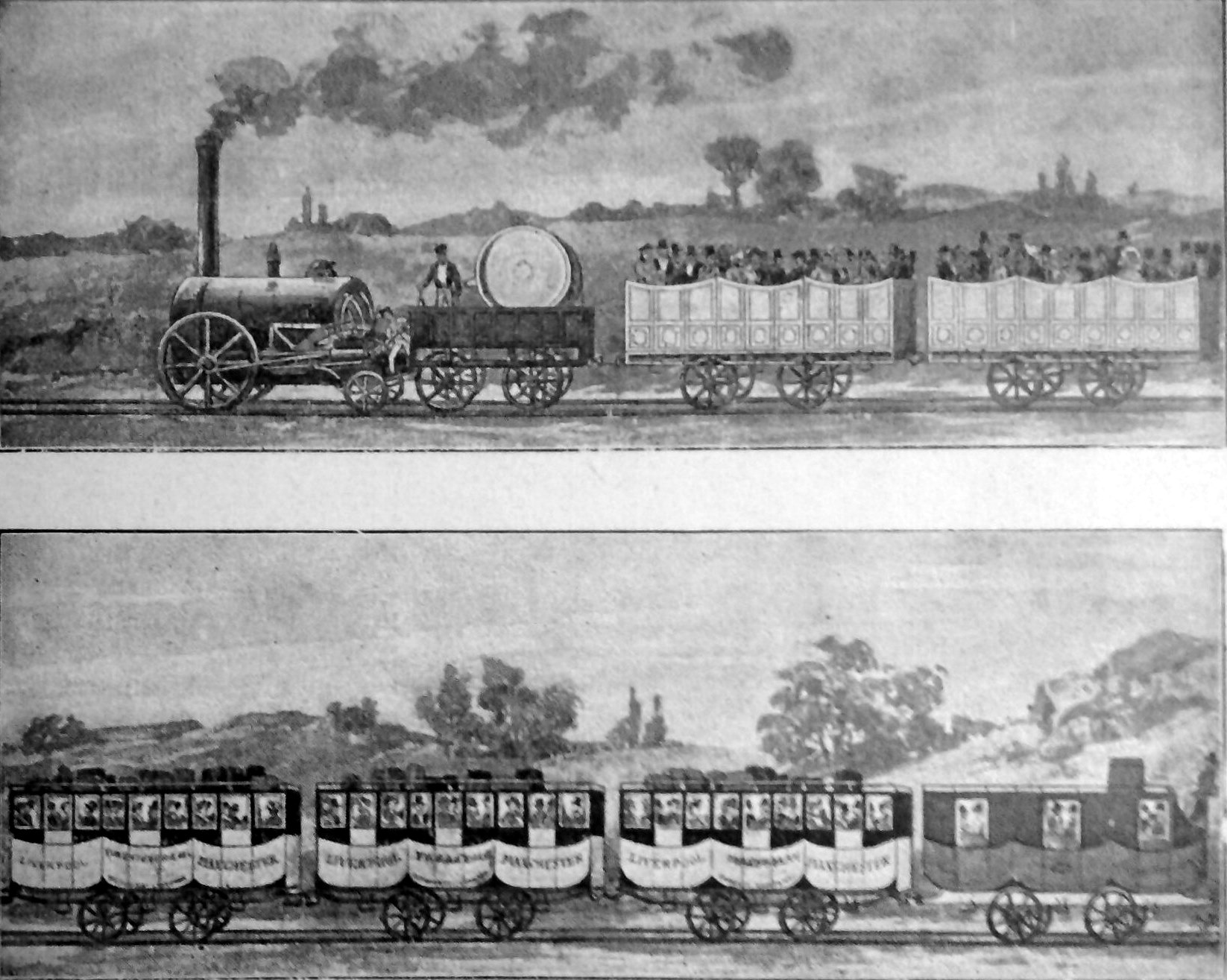
The Liverpool and Manchester Railway (L&MR) was the first inter-city railway in the world. It opened on 15 September 1830 between the Lancashire towns of Liverpool and Manchester in England. It was also the first railway to rely exclusively on locomotives driven by steam power, with no horse-drawn traffic permitted at any time; the first to be entirely double track throughout its length; the first to have a true signalling system; the first to be fully timetabled; and the first to carry mail. Trains were hauled by company steam locomotives between the two towns, though private wagons and carriages were allowed. Cable haulage of freight trains was down the steeply-graded Wapping Tunnel to Liverpool Docks from Edge Hill junction. The railway was primarily built to provide faster transport of raw materials, finished goods and passengers between the Port of Liverpool and the cotton mills and factories of Manchester and surrounding towns. Designed and built by George Step ... [...More Info...] [...Related Items...] OR: [Wikipedia] [Google] [Baidu] |
Special Area Of Conservation
A Special Area of Conservation (SAC) is defined in the European Union's Habitats Directive (92/43/EEC), also known as the ''Directive on the Conservation of Natural Habitats and of Wild Fauna and Flora''. They are to protect the 220 habitats and approximately 1,000 species listed in annex I and II of the directive which are considered to be of European interest following criteria given in the directive. They must be chosen from the Sites of Community Importance by the member states and designated SAC by an act assuring the conservation measures of the natural habitat. SACs complement Special Protection Areas and together form a network of protected sites across the European Union called Natura 2000. This, in turn, is part of the Emerald network of Areas of Special Conservation Interest (ASCIs) under the Berne Convention. Assessment methodology in the United Kingdom Prior to being designated as a Special Area of Conservation (SAC), sites have been assessed under a two-stage pro ... [...More Info...] [...Related Items...] OR: [Wikipedia] [Google] [Baidu] |
European Union
The European Union (EU) is a supranational political and economic union of member states that are located primarily in Europe. The union has a total area of and an estimated total population of about 447million. The EU has often been described as a ''sui generis'' political entity (without precedent or comparison) combining the characteristics of both a federation and a confederation. Containing 5.8per cent of the world population in 2020, the EU generated a nominal gross domestic product (GDP) of around trillion in 2021, constituting approximately 18per cent of global nominal GDP. Additionally, all EU states but Bulgaria have a very high Human Development Index according to the United Nations Development Programme. Its cornerstone, the Customs Union, paved the way to establishing an internal single market based on standardised legal framework and legislation that applies in all member states in those matters, and only those matters, where the states have agreed to ac ... [...More Info...] [...Related Items...] OR: [Wikipedia] [Google] [Baidu] |
Risley Moss
Risley Moss is an area of peat bog situated near Birchwood in Warrington, England. It is a country park, Site of Special Scientific Interest and a Local Nature Reserve. It covers an area of and is one of the last remaining fragments of the raised bogs that once covered large areas of South Lancashire and North Cheshire. History Natural depressions in the glacial drift left by the ice sheets which covered the Cheshire–Shropshire plain during the last ice age, 10,000–15,000 years ago, filled with water, forming the meres and mosses characteristic of the area today. In some cases, like Risley Moss, peat accumulation filled the depression, allowing colonisation by bog mosses such as the ''Sphagnum'' varieties, thus giving rise to the name "moss". Risley Moss is one of only two mosses in Cheshire where the water level has been deliberately raised in an attempt to encourage the regeneration of an active bog surface. The long-term restoration project to re-wet the moss bega ... [...More Info...] [...Related Items...] OR: [Wikipedia] [Google] [Baidu] |
List Of Sites Of Special Scientific Interest In Greater Manchester
This is a list of the Sites of Special Scientific Interest (SSSIs) in Greater Manchester, a metropolitan county in North West England. In England the body responsible for designating SSSIs is Natural England, which chooses a site because of its fauna, flora, geological or physiographical features. , there are 21 sites designated within this Area of Search, of which 14 have been designated due to their biological interest, 5 due to their geological interest, and 2 for both biological and geological interest. Natural England took over the role of designating and managing SSSIs from English Nature in October 2006 when it was formed from the amalgamation of English Nature, parts of the Countryside Agency and the Rural Development Service. Natural England, like its predecessor, uses the 1974–1996 county system and as such the same approach is followed here, rather than splitting these sites between the Lancashire and Cheshire lists. The data in the table is taken from English Natu ... [...More Info...] [...Related Items...] OR: [Wikipedia] [Google] [Baidu] |


