|
Cape Jourimain, New Brunswick
Cape Jourimain is an area comprising two islands and a section of mainland along the southwestern shore of the Northumberland Strait, three kilometres west of New Brunswick's easternmost point at Cape Tormentine. The two islands, Jourimain and Trenholm, have been connected to the mainland since 1966 by an artificial causeway. Cape Jourimain is the historic crossing point from New Brunswick (NB) to Prince Edward Island (PEI) and is host to the western end of the Confederation Bridge, Canada's longest fixed-link crossing. In 1980, the two islands, including a section of mainland, were designated as a National Wildlife Area (NWA) and in 2001 the Cape Jourimain Nature Centre, operated by a charitable nonprofit organization, was opened to the public. Early history The Cape Jourimain area has been visited by humans, in some capacity, for at least 4,000 years. Evidence suggests that the Mi'kmaq hunted walrus, seal, and a variety of other species along the coast and that they used ... [...More Info...] [...Related Items...] OR: [Wikipedia] [Google] [Baidu] |
Bayfield, New Brunswick
Bayfield is a local service district in Westmorland County, New Brunswick, Canada, near the intersection of Route 955 and Route 16. History Located on the Northumberland Strait, 2.57 km W of Cape Tormentine: Botsford Parish, Westmorland County: named for Admiral Henry Wolsey-Bayfield (1795-1885), who was responsible for surveying much of the New Brunswick, Nova Scotia and Prince Edward Island coastline in the 1840s and 1850s: PO from 1866: in 1871 it had a population of 175: in 1898 Bayfield was a farming settlement with 1 post office, 2 stores, 1 hotel, 1 carriage factory, 1 church and a population of 200: by 1904 the population had increased to 300.Government of New Brunswick official Website. Notable people {{Main, List of people from Westmo ...[...More Info...] [...Related Items...] OR: [Wikipedia] [Google] [Baidu] |
New England
New England is a region comprising six states in the Northeastern United States: Connecticut, Maine, Massachusetts, New Hampshire, Rhode Island, and Vermont. It is bordered by the state of New York to the west and by the Canadian provinces of New Brunswick to the northeast and Quebec to the north. The Atlantic Ocean is to the east and southeast, and Long Island Sound is to the southwest. Boston is New England's largest city, as well as the capital of Massachusetts. Greater Boston is the largest metropolitan area, with nearly a third of New England's population; this area includes Worcester, Massachusetts (the second-largest city in New England), Manchester, New Hampshire (the largest city in New Hampshire), and Providence, Rhode Island (the capital of and largest city in Rhode Island). In 1620, the Pilgrims, Puritan Separatists from England, established Plymouth Colony, the second successful English settlement in America, following the Jamestown Settlement in Virgini ... [...More Info...] [...Related Items...] OR: [Wikipedia] [Google] [Baidu] |
Catoptrics
Catoptrics (from grc-gre, κατοπτρικός ''katoptrikós'', "specular", from grc-gre, κάτοπτρον ''katoptron'' "mirror") deals with the phenomena of reflected light and image-forming optical systems using mirrors. A catoptric system is also called a ''catopter'' (''catoptre''). Ancient texts ''Catoptrics'' is the title of two texts from ancient Greece: *The Pseudo-Euclidean ''Catoptrics''. This book is attributed to Euclid, although the contents are a mixture of work dating from Euclid's time together with work which dates to the Roman period., accessed 31 January 2013 It has been argued that the book may have been compiled by the 4th century mathematician Theon of Alexandria. The book covers the mathematical theory of mirrors, particularly the images formed by plane and spherical concave mirrors. *Hero's ''Catoptrics''. Written by Hero of Alexandria, this work concerns the practical application of mirrors for visual effects. In the Middle Ages, this work was fa ... [...More Info...] [...Related Items...] OR: [Wikipedia] [Google] [Baidu] |
Lighthouse
A lighthouse is a tower, building, or other type of physical structure designed to emit light from a system of lamps and lenses and to serve as a beacon for navigational aid, for maritime pilots at sea or on inland waterways. Lighthouses mark dangerous coastlines, hazardous shoals, reefs, rocks, and safe entries to harbors; they also assist in aerial navigation. Once widely used, the number of operational lighthouses has declined due to the expense of maintenance and has become uneconomical since the advent of much cheaper, more sophisticated and effective electronic navigational systems. History Ancient lighthouses Before the development of clearly defined ports, mariners were guided by fires built on hilltops. Since elevating the fire would improve the visibility, placing the fire on a platform became a practice that led to the development of the lighthouse. In antiquity, the lighthouse functioned more as an entrance marker to ports than as a warning signal for reef ... [...More Info...] [...Related Items...] OR: [Wikipedia] [Google] [Baidu] |
Acadian
The Acadians (french: Acadiens , ) are an ethnic group descended from the French who settled in the New France colony of Acadia during the 17th and 18th centuries. Most Acadians live in the region of Acadia, as it is the region where the descendants of a few Acadians who escaped the Expulsion of the Acadians (aka The Great Upheaval / ''Le Grand Dérangement'') re-settled. Most Acadians in Canada continue to live in majority French-speaking communities, notably those in New Brunswick where Acadians and Francophones are granted autonomy in areas such as education and health. Acadia was one of the 5 regions of New France. Acadia was located in what is now Eastern Canada's Maritime provinces, as well as parts of Quebec and present-day Maine to the Kennebec River. It was ethnically, geographically and administratively different from the other French colonies and the French colony of Canada (modern-day Quebec). As a result, the Acadians developed a distinct history and culture. ... [...More Info...] [...Related Items...] OR: [Wikipedia] [Google] [Baidu] |
Canned Fish
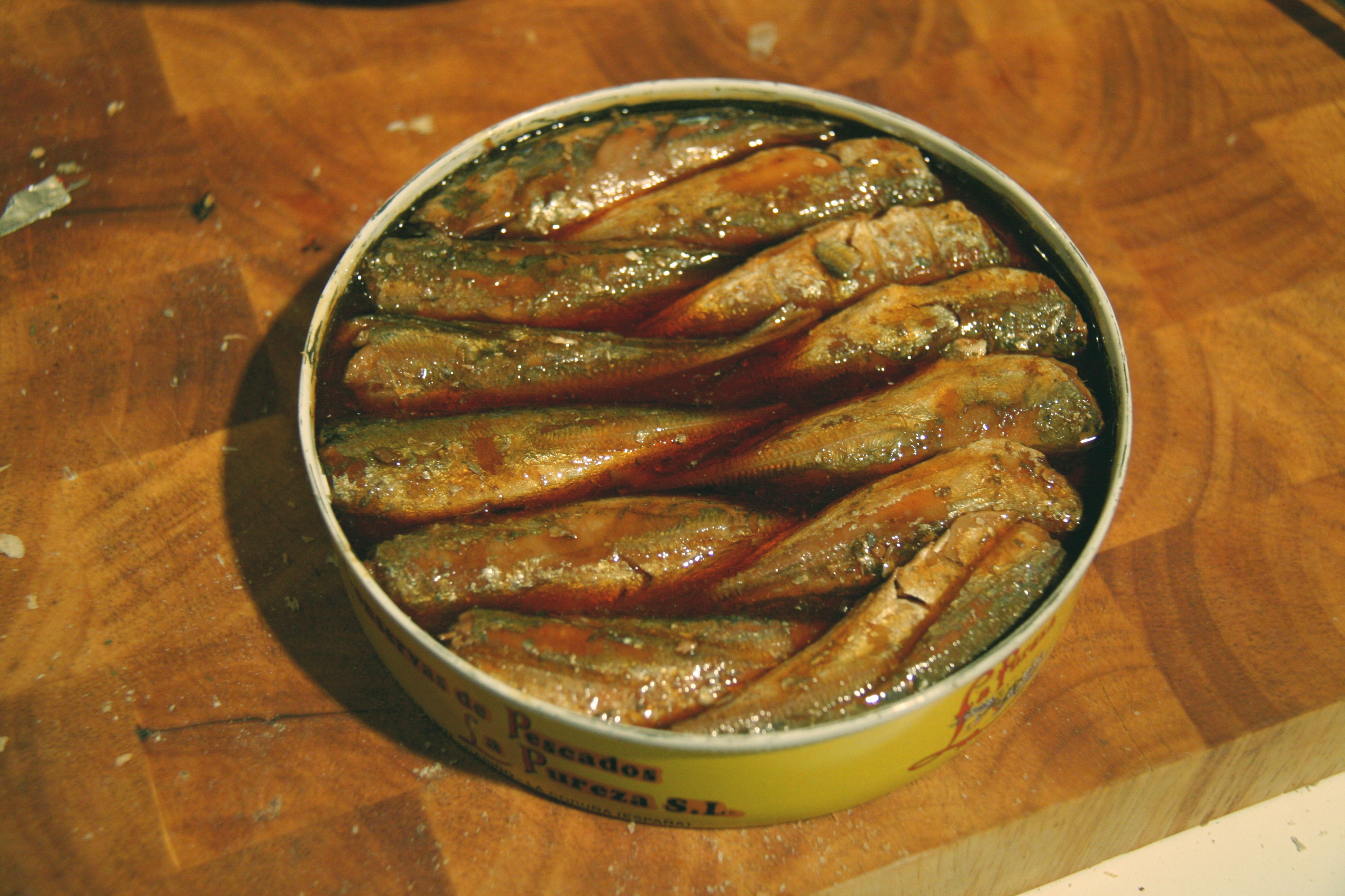
Canned or tinned fish are food fish which have been processed, sealed in an airtight container such as a sealed tin can, and subjected to heat. Canning is a method of preserving food, and provides a typical shelf life ranging from one to five years. Fish have low acidity levels at which microbes can flourish. From a public safety point of view, foods with low acidity ( pH greater than 4.6) need sterilization at high temperatures (116–130°C). Achieving temperatures above the boiling point requires pressurized cooking. After sterilization, the containing can prevents microorganisms from entering and proliferating inside. Other than sterilization, no other method is dependable as a preservative. For example, the microorganism ''Clostridium botulinum'' (which causes botulism) can only be eliminated at temperatures above the boiling point. Preservation techniques are needed to prevent fish spoilage and lengthen shelf life. They are designed to inhibit the activity of spoilage ... [...More Info...] [...Related Items...] OR: [Wikipedia] [Google] [Baidu] |
Ferries
A ferry is a ship, watercraft or amphibious vehicle used to carry passengers, and sometimes vehicles and cargo, across a body of water. A passenger ferry with many stops, such as in Venice, Italy, is sometimes called a water bus or water taxi. Ferries form a part of the public transport systems of many waterside cities and islands, allowing direct transit between points at a capital cost much lower than bridges or tunnels. Ship connections of much larger distances (such as over long distances in water bodies like the Mediterranean Sea) may also be called ferry services, and many carry vehicles. History In ancient times The profession of the ferryman is embodied in Greek mythology in Charon, the boatman who transported souls across the River Styx to the Underworld. Speculation that a pair of oxen propelled a ship having a water wheel can be found in 4th century Roman literature "''Anonymus De Rebus Bellicis''". Though impractical, there is no reason why it could not wo ... [...More Info...] [...Related Items...] OR: [Wikipedia] [Google] [Baidu] |
Pictou
Pictou ( ; Canadian Gaelic: ''Baile Phiogto'') is a town in Pictou County, in the Canadian province of Nova Scotia. Located on the north shore of Pictou Harbour, the town is approximately 10 km (6 miles) north of the larger town of New Glasgow. Once an active shipping port and the shire town of the county, today Pictou is primarily a local service centre for surrounding rural communities and the primary tourist destination in this region of Nova Scotia. The name Pictou derives from the Mi'kmaq name , meaning "explosive place", a reference to the river of pitch that was found in the area, or perhaps from methane bubbling up from coal seams below the harbour. History Pictou Town had been the location of an annual Mi'kmaq summer coastal community prior to European settlement. Pictou was part of the Epekwitk aq Piktuk Mi'kmaq District, which included present-day Prince Edward Island and Pictou. Pictou Town was a receiving point for many Scottish immigrants moving to a new ... [...More Info...] [...Related Items...] OR: [Wikipedia] [Google] [Baidu] |
Wood Islands, Prince Edward Island
Wood Islands is a rural farming and fishing community located in southeastern Queens County, Prince Edward Island on the Northumberland Strait. It takes its name from several small forested islands, then located several hundred metres offshore in the Northumberland Strait. The community of Wood Islands falls within the larger PEI Township of Lot 62, which had a population in 2011 of 470 residents, a 13% decrease from the 2006 census count of 540. While the named islands are located on maps by Jacques-Nicolas Bellin: Karte Bellin, 1744: 'I a Bova' and Louis Franquet: Cartes Franquet, 1751: 'Isle a Bois', it was Samuel Johannes Holland who correctly surveyed and depicted the islands, about their basin. The 'European' settlement of Wood Islands began in 1803, but saw its most noted arrivals in 1807 with the arrival, after wintering in Pinette, of a large party of Scottish settlers from the ''Spencer''. The Harbour and The Lighthouse Wood Islands Harbour. Previously denoted as V ... [...More Info...] [...Related Items...] OR: [Wikipedia] [Google] [Baidu] |
Cape Traverse, Prince Edward Island
Cape Traverse ( ) is a community in Prince County, Prince Edward Island, Canada. A winter iceboat service crossed the Abegweit Passage between Cape Traverse to Cape Tormentine, New Brunswick for many decades during the 19th century and early 20th century. Notable residents *Ephraim Bell Muttart, physician and political figure *John Howatt Bell John Howatt Bell (December 13, 1846 – January 29, 1929) was a lawyer and politician who served as the 14th premier of Prince Edward Island. Bell was born in Cape Traverse, the son of Walter Bell and Elizabeth Howatt. He was educated at P ..., 14th premier of Prince Edward Island Highways Cape Traverse is served by Route 10. References * * * Communities in Prince County, Prince Edward Island {{PEI-geo-stub ... [...More Info...] [...Related Items...] OR: [Wikipedia] [Google] [Baidu] |
Agriculture
Agriculture or farming is the practice of cultivating plants and livestock. Agriculture was the key development in the rise of sedentary human civilization, whereby farming of domesticated species created food surpluses that enabled people to live in cities. The history of agriculture began thousands of years ago. After gathering wild grains beginning at least 105,000 years ago, nascent farmers began to plant them around 11,500 years ago. Sheep, goats, pigs and cattle were domesticated over 10,000 years ago. Plants were independently cultivated in at least 11 regions of the world. Industrial agriculture based on large-scale monoculture in the twentieth century came to dominate agricultural output, though about 2 billion people still depended on subsistence agriculture. The major agricultural products can be broadly grouped into foods, fibers, fuels, and raw materials (such as rubber). Food classes include cereals (grains), vegetables, fruits, cooking oils, meat, m ... [...More Info...] [...Related Items...] OR: [Wikipedia] [Google] [Baidu] |


