|
Cirrostratus Cloud
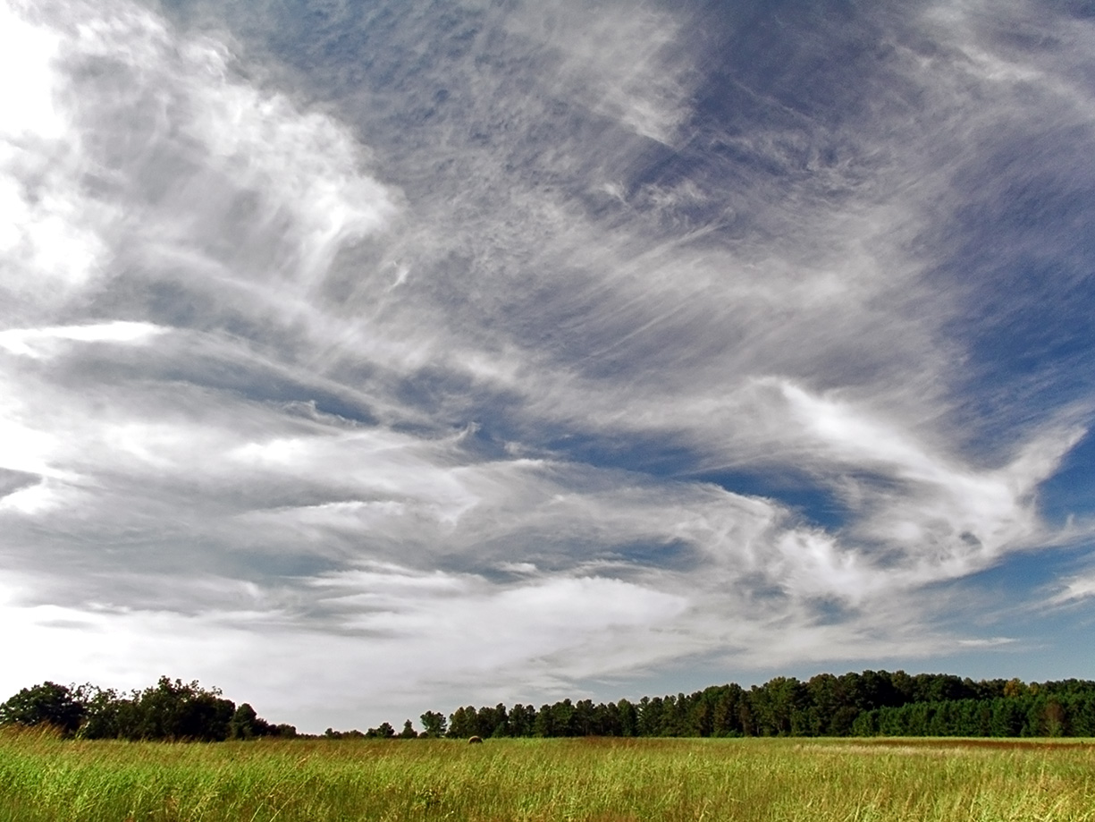
Cirrostratus () is a high-altitude, very thin, and generally uniform stratiform genus-type of cloud. It is composed of ice crystals, which are particles of frozen water. Cirrostratus is difficult to see and can produce halos. These optical effects are caused when the cloud takes the form of thin cirrostratus nebulosus. The cloud has a fibrous texture with no halos if it is thicker cirrostratus fibratus. On the approach of a frontal system, the cirrostratus often begins as nebulous and turns to fibratus. If the cirrostratus begins as fragmented of clouds in the sky it often means the front is weak. Cirrostratus usually lies above . Its presence indicates a large amount of moisture in the upper troposphere. Clouds resembling cirrostratus occasionally form in the lower stratosphere over the polar regions of Earth. Polar stratospheric clouds can take on this appearance when composed of tiny supercooled droplets of water or nitric acid. Cirrostratus clouds sometimes sig ... [...More Info...] [...Related Items...] OR: [Wikipedia] [Google] [Baidu] |
Cirrus Cloud
Cirrus ( cloud classification symbol: Ci) is a genus of high cloud made of ice crystals. Cirrus clouds typically appear delicate and wispy with white strands. In the Earth's atmosphere, cirrus are usually formed when warm, dry air rises, causing water vapor deposition onto mineral dust and metallic particles at high altitudes. Globally, they form anywhere between above sea level, with the higher elevations usually in the tropics and the lower elevations in more polar regions. Cirrus clouds can form from the tops of thunderstorms and tropical cyclones and sometimes predict the arrival of rain or storms. Although they are a sign that rain and maybe storms are on the way, cirrus themselves drop no more than falling streaks of ice crystals. These crystals dissipate, melt, and evaporate as they fall through warmer and drier air and never reach ground. The word ''cirrus'' comes from the Latin prefix ''cirro-'', meaning "tendril" or "curl". Cirrus clouds warm the earth, potentially c ... [...More Info...] [...Related Items...] OR: [Wikipedia] [Google] [Baidu] |
Mist
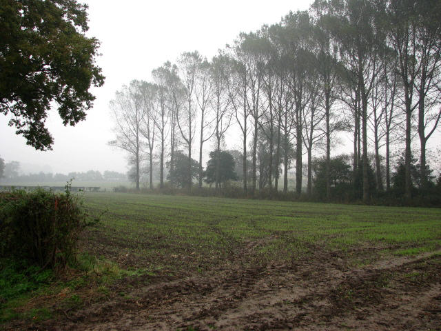
Mist is a phenomenon caused by small droplets of water suspended in the cold air, usually by condensation. Physically, it is an example of a Dispersion (chemistry), dispersion. It is most commonly seen where water vapor in warm, moist air meets sudden cooling, such as in Exhalation, exhaled air in the winter, or when throwing water onto the hot stove of a sauna. It can be created artificially with aerosol canisters if the humidity and temperature conditions are right. It can also occur as part of natural weather, when humid air cools rapidly, notably when the air comes into contact with surfaces that are much cooler than the air (e.g. mountains). The formation of mist, as of other Suspension (chemistry), suspensions, is greatly aided by the presence of nucleation sites on which the suspended water phase can congeal. Thus even such unusual sources of nucleation as small particulates from volcanic eruptions, releases of strongly polar gases, and even the magnetospheric ions associa ... [...More Info...] [...Related Items...] OR: [Wikipedia] [Google] [Baidu] |
Haze
Haze is traditionally an atmospheric phenomenon in which dust, smoke, and other dry particulates suspended in air obscure visibility and the clarity of the sky. The World Meteorological Organization manual of codes includes a classification of particulates causing horizontal obscuration into categories of fog, ice fog, steam fog, mist, haze, smoke, volcanic ash, dust, sand, and snow. Sources for particles that cause haze include farming ( stubble burning, ploughing in dry weather), traffic, industry, windy weather, volcanic activity and wildfires. Seen from afar (e.g. an approaching airplane) and depending on the direction of view with respect to the Sun, haze may appear brownish or bluish, while mist tends to be bluish grey instead. Whereas haze often is considered a phenomenon occurring in dry air, mist formation is a phenomenon in saturated, humid air. However, haze particles may act as condensation nuclei that leads to the subsequent vapor condensation and formatio ... [...More Info...] [...Related Items...] OR: [Wikipedia] [Google] [Baidu] |
Contrail
Contrails (; short for "condensation trails") or vapour trails are line-shaped clouds produced by aircraft engine exhaust or changes in air pressure, typically at aircraft cruising altitudes several kilometres/miles above the Earth's surface. They are composed primarily of water, in the form of ice crystals. The combination of water vapor in aircraft engine exhaust and the low ambient temperatures at high altitudes causes the trails' formation. Impurities in the engine exhaust from the fuel, including soot and sulfur compounds (0.05% by weight in jet fuel) provide some of the particles that serve as cloud condensation nuclei for water droplet growth in the exhaust. If water droplets form, they can freeze to form ice particles that compose a contrail. Their formation can also be triggered by changes in air pressure in wingtip vortices, or in the air over the entire wing surface. Contrails, and other clouds caused directly by human activity, are called ''homogenitus''. The va ... [...More Info...] [...Related Items...] OR: [Wikipedia] [Google] [Baidu] |
Inversion (meteorology)
In meteorology, an inversion (or temperature inversion) is a phenomenon in which a layer of warmer air overlies cooler air. Normally, atmospheric temperature, air temperature gradually decreases as altitude increases, but this relationship is reversed in an inversion. An inversion traps air pollution, such as smog, near the ground. An inversion can also suppress atmospheric convection, convection by acting as a "cap". If this cap is broken for any of several reasons, convection of any humidity can then erupt into violent thunderstorms. Temperature inversion can cause freezing rain in polar climate, cold climates. Normal atmospheric conditions Usually, within the lower atmosphere (the troposphere) the air near the surface of the Earth is warmer than the air above it, largely because the atmosphere is heated from below as solar radiation warms the Earth's surface, which in turn then warms the layer of the atmosphere directly above it, e.g., by thermals (Convection (heat tran ... [...More Info...] [...Related Items...] OR: [Wikipedia] [Google] [Baidu] |
Stratocumulus
A stratocumulus cloud, occasionally called a cumulostratus, belongs to a genus-type of clouds characterized by large dark, rounded masses, usually in groups, lines, or waves, the individual elements being larger than those in altocumulus, and the whole being at a lower height, usually below . Weak convective currents create shallow cloud layers (see also: sea of clouds) because of drier, stable air above preventing continued vertical development. Historically, in English, this type of cloud has been referred to as a twain cloud for being a combination of two types of clouds. Description Stratocumulus clouds are rounded clumps or patches of white to dark gray clouds that normally form in groups. The individual cloud elements, which cover more than 5 degrees of arc each, can connect with each other and are sometimes arranged in a regular pattern. Occurrence Vast areas of subtropical and polar oceans are covered with massive sheets of stratocumulus. These may organize into distinc ... [...More Info...] [...Related Items...] OR: [Wikipedia] [Google] [Baidu] |
Cumulus Humilis
Cumulus humilis are cumuliform clouds with little vertical extent, common in the summer, that are often referred to as "fair weather cumulus". If they develop into cumulus mediocris or cumulus congestus, thunderstorms could form later in the day. They generally form at lower altitudes (500–3000 m (1,500–10,000 ft)), but in hot countries or over mountainous terrain these clouds can occur at an altitude of up to . They show no significant vertical development, indicating that the temperature in the atmosphere above them either drops off very slowly or not at all with altitude; that is, the environmental lapse rate is small or negative. Cumulus humilis clouds often have little variance in their depths due to their constrained vertical development. Cumulus humilis may be accompanied by other cloud types. Air below the cloud base can be quite turbulent due to the thermals that formed the clouds, giving occupants of light aircraft an uncomfortable ride. To avoid turbulence w ... [...More Info...] [...Related Items...] OR: [Wikipedia] [Google] [Baidu] |
Snow Grains
Snow grains are a form of precipitation. Snow grains are characterized as very small (<1 mm), white, opaque grains of ice that are fairly flat or elongated. Unlike snow pellets, snow grains do not bounce or break up on impact. Usually, very small amounts fall, mostly from s or fog, and never fall in the form of a shower. The METAR
METAR is a format for reporting weather information. A METAR weather report is predominantly used by aircraft pilots, and by meteorologists, who use aggregated METAR information to assist in weather forecasting.
...
[...More Info...] [...Related Items...] OR: [Wikipedia] [Google] [Baidu] |
Drizzle
Drizzle is a light precipitation which consists of liquid water drops that are smaller than those of rain – generally smaller than in diameter. Drizzle is normally produced by low stratiform clouds and stratocumulus clouds. Precipitation rates from drizzle are on the order of a millimetre (0.04 in) per day or less at the ground. Owing to the small size of drizzle drops, under many circumstances drizzle largely evaporates before reaching the surface, and so may be undetected by observers on the ground. The METAR code for drizzle is DZ and for freezing drizzle is FZDZ. Effects While most drizzle has only a minor immediate impact upon humans, freezing drizzle can lead to treacherous conditions. Freezing drizzle occurs when supercooled drizzle drops land on a surface whose temperature is below freezing. These drops immediately freeze upon impact, leading to the buildup of sheet ice (sometimes called black ice) on the surface of roads. Occurrence Drizzle tends to ... [...More Info...] [...Related Items...] OR: [Wikipedia] [Google] [Baidu] |
Nimbostratus
A nimbostratus cloud is a multilevel, amorphous, nearly uniform, and often dark-grey cloud that usually produces continuous rain, snow, or sleet, but no lightning or thunder. in the Oxford Dictionaries Online. Although it is usually a low-based stratiform cloud, it actually forms most commonly in the middle level of the troposphere and then spreads vertically into the low and high levels. Nimbostratus usually produces precipitation over a wide area. The prefix '' nimbo-'' comes from the Latin word ', which means "rain bearing cloud" Downward-growing nimbostratus can have the same vertical extent as most large upward-growing [...More Info...] [...Related Items...] OR: [Wikipedia] [Google] [Baidu] |


