|
Bertoua
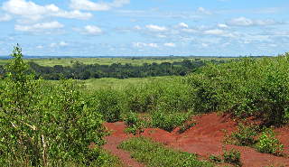
Bertoua is the capital of the Eastern Region of Cameroon and of the Lom-et-Djerem Department. It has a population of 88,462 (at the 2005 Census), and is the traditional home of the Gbaya people. It is home to an airport and Mission Cameroon (in Polish: Misja Kamerun) of Polish Dominican Order. In 2014, the hospital in Bertoua became known for its work serving the medical needs of refugees from the Central African Republic crossing into Cameroon at border towns such as Gbiti. See also *Communes of Cameroon The Arrondissements of Cameroon are the third-level units of administration in Cameroon. The arrondissements are organised by divisions and sub divisions of each province (now Regions). As of 2005 (and since 1996) there are 2 urban commu ... References External linksMisja Kamerun Populated places in East Region (Cameroon) Provincial capitals in Cameroon Communes of Cameroon {{Cameroon-geo-stub ... [...More Info...] [...Related Items...] OR: [Wikipedia] [Google] [Baidu] |
East Region (Cameroon)
The East Region (french: Région de l'Est) occupies the southeastern portion of the Republic of Cameroon. It is bordered to the east by the Central African Republic, to the south by Congo, to the north by the Adamawa Region, and to the west by the Centre and South Regions. With 109,002 km2 of territory, it is the largest region in the nation as well as the most sparsely populated. Historically, the peoples of the East have been settled in Cameroonian territory for longer than any other of the country's many ethnic groups, the first inhabitants being the Baka (or Babinga) pygmies. The East Region has very little industry, its main commerce consisting of logging, timber, and mining. Instead, the bulk of its inhabitants are subsistence farmers. The region is thus of little political import and is often ignored by Cameroonian politicians. This coupled with the low level of development in the province have led to its being dubbed "the forgotten province". The southwest r ... [...More Info...] [...Related Items...] OR: [Wikipedia] [Google] [Baidu] |
Lom-et-Djerem
Lom-et-Djerem is a department of East Province in Cameroon. The department covers an area of 26,345 km and as of 2001 had a total population of 228,691. The capital of the department lies at Bertoua. Subdivisions The department is divided administratively into 8 communes and in turn into villages. Communes * Bélabo * Bertoua * Bétaré-Oya * Diang * Garoua-Boulaï Garoua-Boulaï (or Garoua-Boulay) is a town and commune in Cameroon. The town is on the border with the Central African Republic. Across the border, the nearest CAR settlement accessible by road is Baboua. Refugees In 2014, the town was severe ... * Mandjou * Ngoura References Departments of Cameroon East Region (Cameroon) {{Cameroon-geo-stub ... [...More Info...] [...Related Items...] OR: [Wikipedia] [Google] [Baidu] |
Gbaya People
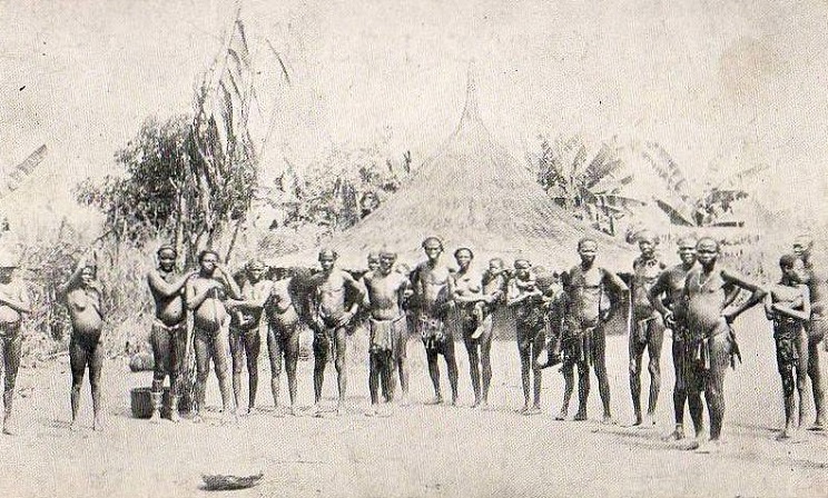
The Gbaya, also Gbeya or Baya, are a people of western region of Central African Republic, east-central Cameroon, the north of the Republic of Congo, and the northwest of the Democratic Republic of Congo. In the first half of the 20th century, the Gbaya were involved in several revolt attempts against German and then French colonial rule. In rural areas, the Gbaya cultivate mainly maize, cassava, yams, peanuts, tobacco, coffee and rice, the latter two of which were introduced by the French. Today, many of the Gbaya people are Christians, though witchcraft is practiced, known as ''dua''. History Gbaya people have been present in Central Africa since at least the 16th century. Archaeological researches have determined their place of origin to be located somewhere in the lower valley of the Lobaye River. During the early 19th century, several Gbaya tribes migrated toward the Eastern area of whats is now Cameroon. During the 19th century, a series of wars opposed Gbaya tribes to Ful ... [...More Info...] [...Related Items...] OR: [Wikipedia] [Google] [Baidu] |
Regions Of Cameroon
The Republic of Cameroon is divided into ten regions. In 2008, the President of the Republic of Cameroon, President Paul Biya signed decrees abolishing "provinces" and replacing them with "regions". Hence, all of the country's ten provinces are now known as regions. Most of these provinces were designated in the 1960s alongside Centre-South Province (split into Centre and South in 1983). At the same time, Adamawa and Far North Provinces were split from North Province. See summary of administrative history in Zeitlyn 2018. See also * List of regions of Cameroon by Human Development Index * ISO 3166-2:CM * Communes of Cameroon * Departments of Cameroon The Regions of Cameroon are divided into 58 divisions or departments. The divisions are further sub-divided into sub-divisions (''arrondissements'') and districts. The divisions are listed below, by province. The constitution divides Camero ... * Subdivisions of Cameroon * List of municipalities of Cameroon Refer ... [...More Info...] [...Related Items...] OR: [Wikipedia] [Google] [Baidu] |
Communes Of Cameroon
The Arrondissements of Cameroon are the third-level units of administration in Cameroon. The arrondissements are organised by divisions and sub divisions of each province (now Regions). As of 2005 (and since 1996) there are 2 urban communities (Douala and Yaoundé) divided into 11 urban districts (5 in Douala and 6 in Yaounde), 9 towns with special status ( Nkongsamba, Bafoussam, Bamenda, Limbe, Edéa Edéa is a city located along the Sanaga River in Cameroon's Littoral Region. It lies on the Douala–Yaoundé railway line. Its population was estimated at 122,300 in 2001. There are bauxite facilities, aluminium processing facility, stee ..., Ebolowa, Garoua, Maroua and Kumba), 11 urban communes and 305 rural communes. The councils are headed by mayors and municipal councillors who are elected. The councils have a responsibility in principle for the management of local affairs under the supervision of the State. Under Cameroonian law, the councils provide ... [...More Info...] [...Related Items...] OR: [Wikipedia] [Google] [Baidu] |
Gbiti
Gbiti is a border town in the East Province in Cameroon. Border post On 16 November 2013, "unidentified gunmen from the Central African Republic (CAR)" attacked the Cameroonian border post at Gbiti. "Seven people died in the attack." In 2013, the Kimberly Process’ Permanent Secretariat conducted an awareness campaign in the town about the importance of stopping the trade in blood diamonds, which could be used to finance Cameroonian gangs or political violence in the Central African Republic. Refugee transit center The town has been impacted by the refugees escaping the Central African Republic. As of May 26, 2014, 21,451 refugees from have crossed into Cameroon, and been received at the Gbiti transit center. Refugees assemble at the Gbiti transit center, and are transported to other locations, such as the refugee camp at Mbilé, located "four hours away by bus." A YouTube video shot on a mobile phone by a relief worker in April 2014 documents a group of exhausted, mal ... [...More Info...] [...Related Items...] OR: [Wikipedia] [Google] [Baidu] |
Dominican Order
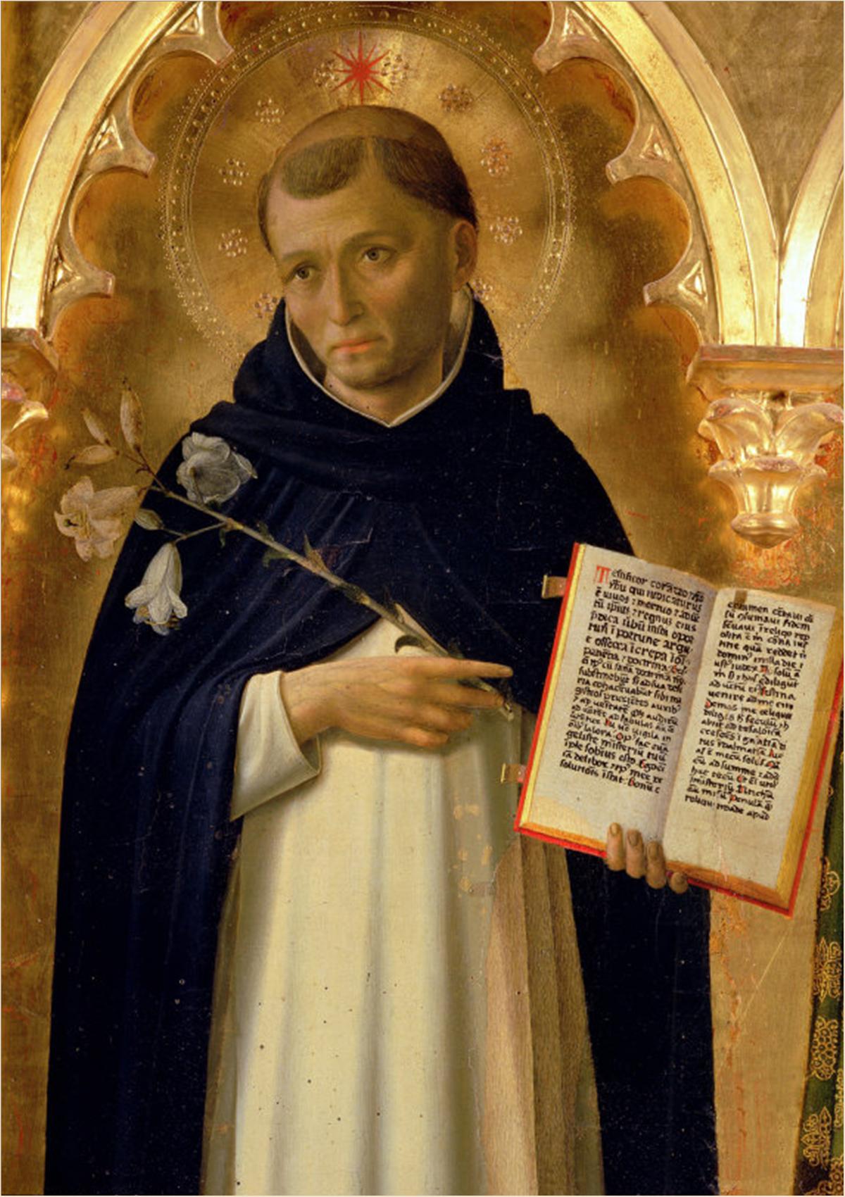
The Order of Preachers ( la, Ordo Praedicatorum) abbreviated OP, also known as the Dominicans, is a Catholic mendicant order of Pontifical Right for men founded in Toulouse, France, by the Spanish priest, saint and mystic Dominic of Caleruega. It was approved by Pope Honorius III via the papal bull '' Religiosam vitam'' on 22 December 1216. Members of the order, who are referred to as ''Dominicans'', generally carry the letters ''OP'' after their names, standing for ''Ordinis Praedicatorum'', meaning ''of the Order of Preachers''. Membership in the order includes friars, nuns, active sisters, and lay or secular Dominicans (formerly known as tertiaries). More recently there has been a growing number of associates of the religious sisters who are unrelated to the tertiaries. Founded to preach the Gospel and to oppose heresy, the teaching activity of the order and its scholastic organisation placed the Preachers in the forefront of the intellectual life of the M ... [...More Info...] [...Related Items...] OR: [Wikipedia] [Google] [Baidu] |
Populated Places In East Region (Cameroon)
Population typically refers to the number of people in a single area, whether it be a city or town, region, country, continent, or the world. Governments typically quantify the size of the resident population within their jurisdiction using a census, a process of collecting, analysing, compiling, and publishing data regarding a population. Perspectives of various disciplines Social sciences In sociology and population geography, population refers to a group of human beings with some predefined criterion in common, such as location, race, ethnicity, nationality, or religion. Demography is a social science which entails the statistical study of populations. Ecology In ecology, a population is a group of organisms of the same species who inhabit the same particular geographical area and are capable of interbreeding. The area of a sexual population is the area where inter-breeding is possible between any pair within the area and more probable than cross-breeding with in ... [...More Info...] [...Related Items...] OR: [Wikipedia] [Google] [Baidu] |
Central African Republic
The Central African Republic (CAR; ; , RCA; , or , ) is a landlocked country in Central Africa. It is bordered by Chad to the north, Sudan to the northeast, South Sudan to the southeast, the DR Congo to the south, the Republic of the Congo to the southwest, and Cameroon to the west. The Central African Republic covers a land area of about . , it had an estimated population of around million. , the Central African Republic is the scene of a civil war, ongoing since 2012. Most of the Central African Republic consists of Sudano-Guinean savannas, but the country also includes a Sahelo- Sudanian zone in the north and an equatorial forest zone in the south. Two-thirds of the country is within the Ubangi River basin (which flows into the Congo), while the remaining third lies in the basin of the Chari, which flows into Lake Chad. What is today the Central African Republic has been inhabited for millennia; however, the country's current borders were established by Fran ... [...More Info...] [...Related Items...] OR: [Wikipedia] [Google] [Baidu] |
Flag Of Cameroon
The national flag of Cameroon (french: drapeau du Cameroun) was adopted in its present form on 20 May 1975 after Cameroon became a unitary state. It is a vertical tricolour of green, red and yellow, with a five-pointed star in its center. There is a wide variation in the size of the central star, although it is always contained within the inside stripe. Description The colour scheme uses the traditional Pan-African colours (Cameroon was the second state to adopt them). The centre stripe is thought to stand for unity: red is the colour of unity, and the star is referred to as "the star of unity". The yellow stands for the sun, and also the savannas in the northern part of the country, while the green is for the forests in the southern part of Cameroon. The previous flag of Cameroon, used from 1961 to 1975, had a similar colour scheme, but with two gold (darker than the third stripe by comparison) stars in the upper half of the green. It was adopted after British Southern Came ... [...More Info...] [...Related Items...] OR: [Wikipedia] [Google] [Baidu] |
Poland
Poland, officially the Republic of Poland, , is a country in Central Europe. Poland is divided into Voivodeships of Poland, sixteen voivodeships and is the fifth most populous member state of the European Union (EU), with over 38 million people, and the List of European countries by area, seventh largest EU country, covering a combined area of . It extends from the Baltic Sea in the north to the Sudetes and Carpathian Mountains in the south, bordering seven countries. The territory is characterised by a varied landscape, diverse ecosystems, and Temperate climate, temperate transitional climate. The capital and List of cities and towns in Poland, largest city is Warsaw; other major cities include Kraków, Wrocław, Łódź, Poznań, and Gdańsk. Prehistory and protohistory of Poland, Humans have been present on Polish soil since the Lower Paleolithic, with continuous settlement since the end of the Last Glacial Period over 12,000 years ago. Culturally diverse throughout ... [...More Info...] [...Related Items...] OR: [Wikipedia] [Google] [Baidu] |
Airport
An airport is an aerodrome with extended facilities, mostly for commercial air transport. Airports usually consists of a landing area, which comprises an aerially accessible open space including at least one operationally active surface such as a runway for a plane to take off and to land or a helipad, and often includes adjacent utility buildings such as control towers, hangars and terminals, to maintain and monitor aircraft. Larger airports may have airport aprons, taxiway bridges, air traffic control centres, passenger facilities such as restaurants and lounges, and emergency services. In some countries, the US in particular, airports also typically have one or more fixed-base operators, serving general aviation. Operating airports is extremely complicated, with a complex system of aircraft support services, passenger services, and aircraft control services contained within the operation. Thus airports can be major employers, as well as important hubs for tou ... [...More Info...] [...Related Items...] OR: [Wikipedia] [Google] [Baidu] |


