|
Autopista AP-9
The AP-9 or ''Autoestrada do Atlántico'' is a toll motorway in Galicia, Spain. It starts in A Coruña and runs south past the cities of Santiago de Compostela, Pontevedra and Vigo, before ending at the town of Tui, a few kilometres north of the Portuguese border at the Minho River. The AP-9 is 178 km (111 miles) in length. The first 16 km (10 miles), from A Coruña to the A-6 ''autovía'' near the towns of Guísamo and Betanzos, form part of European route E70, while the remainder forms part of European route E01. Between A Coruña and Vigo, the motorway runs parallel to the N-550 road, and between Vigo and Tui it runs parallel to the A-55 ''autovía'' . The AP-9 has two spurs: the 36 km (22.5 mile) long AP-9F from Guísamo to Ferrol, which runs parallel to the N-651 road and also forms part of European route E01; and the 4 km (2.5 mile) long AP-9V, which runs into the centre of Vigo. History Construction of the motorway, originally known as the A-9, bega ... [...More Info...] [...Related Items...] OR: [Wikipedia] [Google] [Baidu] |
Ferrol, Galicia
Ferrol () is a city in the Province of A Coruña in Galicia, on the Atlantic coast in north-western Spain, in the vicinity of Strabo's Cape Nerium (modern day Cape Prior). According to the 2021 census, the city has a population of 64,785, making it the seventh largest settlement in Galicia. With Eume to the south and Ortegal the north, Ferrol forms the Ferrolterra comarca, and together with A Coruña forms the second largest conurbation in Galicia, with a total population of 640,000 in 2016. The harbour, for depth, capacity and safety, is not equalled by many in Europe. The entrance is very narrow, commanded by forts, and may even be shut by a steccado. The city has been a major naval shipbuilding centre for most of its history, being the capital of the Spanish Navy's Maritime Department of the North since the time of the early Bourbons. Before that, in the 17th century, Ferrol was the most important arsenal in Europe. Today, the city contains some of the major shipbuildin ... [...More Info...] [...Related Items...] OR: [Wikipedia] [Google] [Baidu] |
Portugal
Portugal, officially the Portuguese Republic, In recognized minority languages of Portugal: :* mwl, República Pertuesa is a country located on the Iberian Peninsula, in Southwestern Europe, and whose territory also includes the Macaronesian archipelagos of the Azores and Madeira. It features the westernmost point in continental Europe, its mainland west and south border with the North Atlantic Ocean and in the north and east, the Portugal-Spain border, constitutes the longest uninterrupted border-line in the European Union. Its archipelagos form two autonomous regions with their own regional governments. On the mainland, Alentejo region occupies the biggest area but is one of the least densely populated regions of Europe. Lisbon is the capital and largest city by population, being also the main spot for tourists alongside Porto, the Algarve and Madeira. One of the oldest countries in Europe, its territory has been continuously settled and fought over since prehistoric tim ... [...More Info...] [...Related Items...] OR: [Wikipedia] [Google] [Baidu] |
Highways In Spain
The Spanish motorway (highway) network is the third largest in the world, by length. , there are of High Capacity Roads ( es, Vías de Gran Capacidad) in the country. There are two main types of such roads, autopistas and autovías, which differed in the strictness of the standards they are held up to. History Between 1990 and 2012 Spain had one of the highest rates of motorway growth in Europe.https://www.racfoundation.org/wp-content/uploads/2017/11/Roads-Reform-An-International-Perspective-John-Smith-July-2016.pdf The first motorways named ''autopista'' were financed using sovereign debt. At the end of the 1980s, and before Olympic Games in 1992 in Barcelona, the autonomous Catalan government was interested in increasing the speed limit on new motorways. Between 1987 and 1990, the operations at four new motorways were transferred to private companies, three by the Catalan region and one by the national government. Building of new sections of ''autovia'' was increased be ... [...More Info...] [...Related Items...] OR: [Wikipedia] [Google] [Baidu] |
Rande Bridge
The Rande Bridge ( gl, Ponte de Rande, es, Puente de Rande) is a cable-stayed bridge 9 kilometres from the city of Vigo and 18 kilometres from the city of Pontevedra, in the Province of Pontevedra, Spain. It spans Vigo bay across the Rande Strait, linking the municipalities of Redondela and Moaña. History It was designed by Italian engineer Fabrizio de Miranda, the Spaniard Florencio del Pozo (who was also in charge of its foundations), and Alfredo Passaro. The bridge was built in 1978 and opened in 1981, just over a year before start of the 1982 FIFA World Cup. It forms part of the AP-9 motorway. It was exclusively a toll bridge until 2006, when it became a shadow toll stretch. It has a length of 1,604 metres, its pillars have a height of 148 metres and its main span measures 401 metres. Although it was not the biggest (cable-stayed) span in the world when it opened, it was the longest span with more than two lanes. It currently carries around 50,000 vehicles per day. It is ... [...More Info...] [...Related Items...] OR: [Wikipedia] [Google] [Baidu] |
Autovía A-55
The Autovía A-55 (also known as ''Autovía del Atlántico'') is an autovía in Galicia (Spain). It is 32 km (20 miles) long and runs from the centre of Vigo to the Portugal–Spain border, on the Minho River at Tui, where it connects to the A3 motorway (Portugal). The A-55 runs parallel to the Autopista AP-9 for much of its length, and also connects with the Autovía A-52 at the town of O Porriño. Between Vigo and O Porriño, the autovía is an upgrade of the N-120 road, and between O Porriño and the Portuguese border it is an upgrade of the N-550. For the final 5 km (3 miles) of its length, from the end of the AP-9 north of Tui to the Portuguese border and the A3 autoestrada, the A-55 forms part of European route E01 European route E1 is a series of roads in Europe, part of the United Nations International E-road network, running from Larne, Northern Ireland to Seville, Spain. There is a sea crossing between Rosslare Harbour, in Ireland, and Ferr .... S ... [...More Info...] [...Related Items...] OR: [Wikipedia] [Google] [Baidu] |
European Route E01
European route E1 is a series of roads in Europe, part of the United Nations International E-road network, running from Larne, Northern Ireland to Seville, Spain. There is a sea crossing between Rosslare Harbour, in Ireland, and Ferrol, but no ferry service. The road also passes through Portugal – past the city of Porto, through the capital, Lisbon, and then south to the Algarve, passing Faro before reaching the Spanish border west of Huelva. United Kingdom Larne ()(Start of concurrency with ) *: Larne – Newtownabbey **Corr's Corner () *: Newtownabbey **Sandyknowes Roundabout () *: Newtownabbey – Belfast(Concurrency with ) **York Street () *: Belfast **Broadway () *: Belfast – Lisburn **Sprucefield ()(End of concurrency with ) *: Lisburn – Newry Killean () As with all E-roads in the United Kingdom, the E1 is not signed. It begins in Larne, County Antrim as the A8. A short section of the A8 at Newtownabbey is under motorway regulat ... [...More Info...] [...Related Items...] OR: [Wikipedia] [Google] [Baidu] |
European Route E70
European route E70 is an A-Class West-East European route, extending from A Coruña in Spain in the west to the Georgian city of Poti in the east. Itinerary The E 70 routes through ten European countries, and includes one sea-crossing, from Varna in Bulgaria to Samsun in Turkey. *: A Coruña () - Baamonde *: Baamonde - Gijón - Torrelavega - Bilbao *: Bilbao () - Eibar () *: Eibar (Start of Concurrency with ) - Donostia/San Sebastián - Irún *: Hendaye - Bayonne (End of Concurrency with ) - Bordeaux *: Bordeaux () *: Bordeaux (End of Concurrency with ) *: Bordeaux () - Libourne *: Libourne - Brive-la-Gaillarde () *: Brive-la-Gaillarde () - Saint-Germain-les-Vergnes () *: Saint-Germain-les-Vergnes ( - Combronde () *: Combronde () - Clermont-Ferrand () *: Clermont-Ferrand () - Balbigny *: Balbigny - Saint-Étienne *: Saint-Étienne - Saint-Chamond *: Saint-Chamond - Givors () *: Givors () - Saint-Priest ( ) *: Lyon (Start of Concurrency with ) - ... [...More Info...] [...Related Items...] OR: [Wikipedia] [Google] [Baidu] |
Betanzos
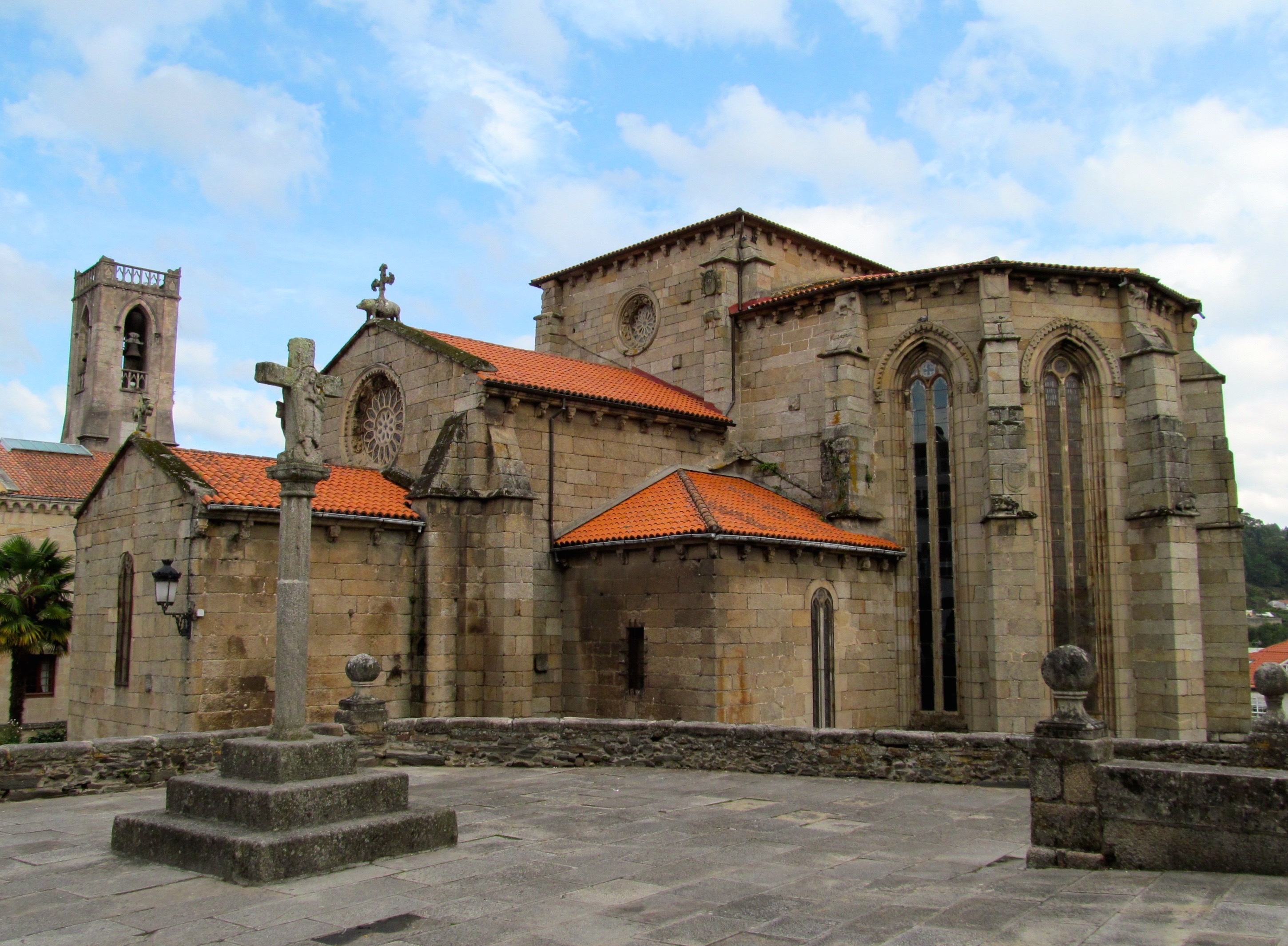
Betanzos () is a municipality in the autonomous community of Galicia in northwestern Spain in the province of A Coruña. It belongs to the comarca of Betanzos. In Roman times Betanzos was called Flauvium Brigantium or ''Brigantium''. During the Medieval period the settlement was known as ''Carunio''. The town is located in a fertile valley close to the Atlantic Ocean, and it has one of the best preserved old quarters in Galicia. Noteworthy is the Igrexa de San Francisco (St Francis Church), erected in 1387 by order of count Fernán Pérez de Andrade, whose tomb, decorated with hunting scenes, is inside of the church. The Igrexa de Santiago (St James Church), built in the 15th century by the guild of tailors, has a main portal decorated with a horseback statue of Saint James. The town is on the English Way path of the Camino de Santiago The Camino de Santiago ( la, Peregrinatio Compostellana, "Pilgrimage of Compostela"; gl, O Camiño de Santiago), known in English as the ... [...More Info...] [...Related Items...] OR: [Wikipedia] [Google] [Baidu] |
Autovía A-6
The Autovía A-6 or Autopista AP-6 (also called ''Autovía del Noroeste'') ( gl, Autovía do Noroeste) is a Spanish autovía and autopista route that starts in Madrid and ends in Arteixo (A Coruña). The tolled Autopista AP-6, from Villalba to Adanero, has a total length of 72.19 km. It includes one of the most important engineering works in the whole motorway, a tri-tube tunnel under the Sierra de Guadarrama. Sections Major cities crossed *Madrid *Collado Villalba *Medina del Campo *Tordesillas * Benavente * Astorga *Ponferrada *Lugo *Betanzos *A Coruña *Arteixo Arteixo () is a municipality in the Province of A Coruña, part of the autonomous community of Galicia in northwestern Spain. Its area is 93.76 km2 and its population is 31,005 (2013). Its population density is 317.43 people/km2. It is a ... External linksAutopista AP-6 Concessionaire [...More Info...] [...Related Items...] OR: [Wikipedia] [Google] [Baidu] |
Minho River
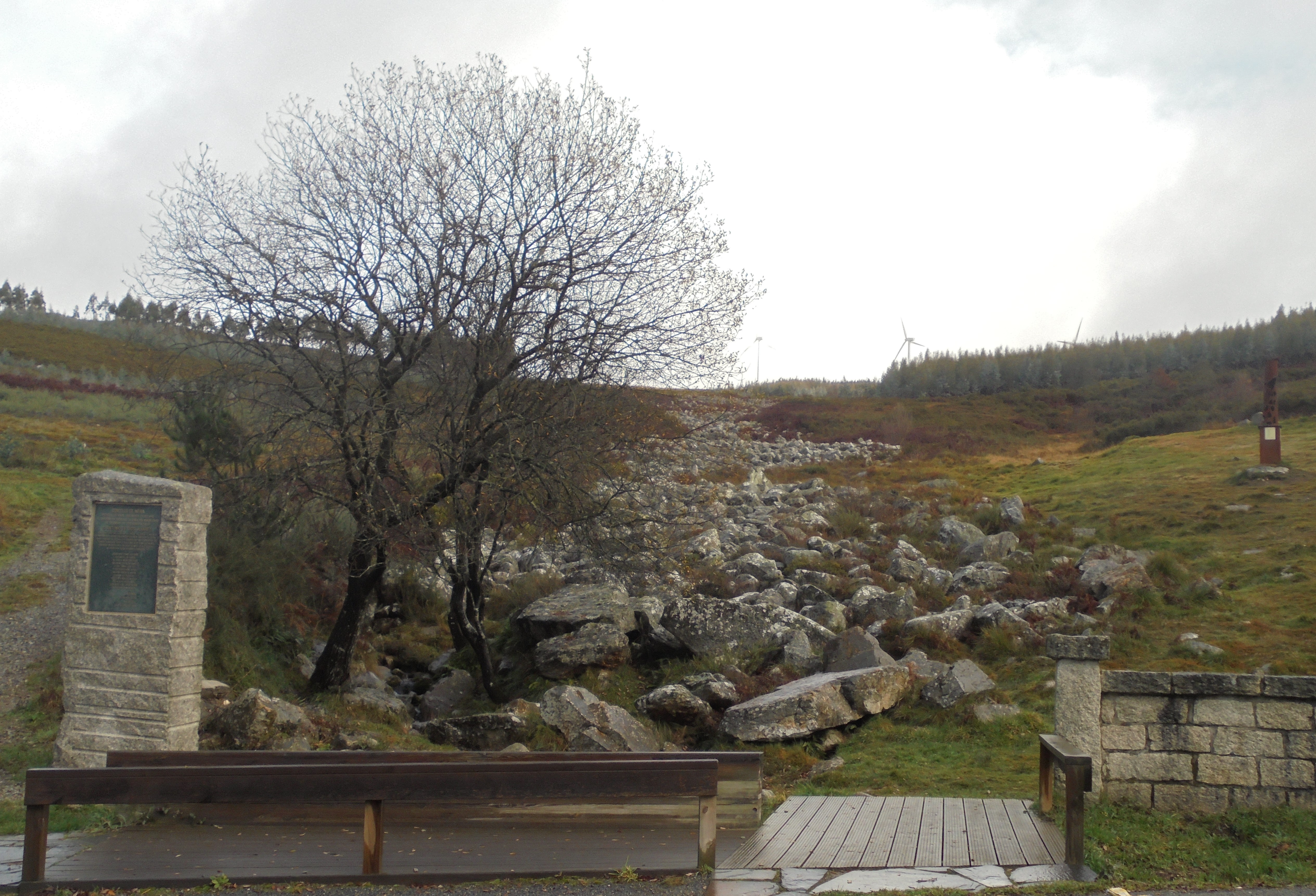
The Minho ( , ) or Miño ( , , ; cel-x-proto, Miniu) is the longest river in Galicia, sharing the border with Portugal, with a length of . By discharge, it is the fourth river of the Iberian peninsula, after the Douro, Ebro, and Tagus. The Minho waters vineyards and farmland, is used to produce hydroelectric power, and also delineates a section of the Spanish– Portuguese border. In ancient English maps, it appears as Minno. The source of the Minho lies north of Lugo in Galicia, in a place called ''Pedregal de Irimia''. After about , the river passes just south of the walls of this old Roman city, discharging in average 42 m3/s, and flows south through canyons until the valley widens north of Ourense. The river has been harnessed in reservoirs from Portomarín to Frieira. Along its length, it has the following reservoirs: Belesar with , Peares with , Velle with , Castrelo with and Frieira with . About north of Ourense at Os Peares, the Minho, with a discharge of 102 ... [...More Info...] [...Related Items...] OR: [Wikipedia] [Google] [Baidu] |
Vigo
Vigo ( , , , ) is a city and municipality in the province of Pontevedra, within the autonomous community of Galicia, Spain. Located in the northwest of the Iberian Peninsula, it sits on the southern shore of an inlet of the Atlantic Ocean, the Ria de Vigo, the southernmost of the Rías Baixas. The municipality, with an area of and a population of 299,321 on June 15, 2022 including rural parishes, is the most populous municipality in Galicia. The area of the municipality includes the Cíes Islands, part of the Atlantic Islands of Galicia National Park. Vigo is one of the region's primary economic agents, owing to the French Stellantis Vigo Plant and to its port. Close to the Portugal–Spain border, Vigo is part of the Galicia–North Portugal Euroregion. The European Fisheries Control Agency is headquartered in Vigo. History In the Early Middle Ages, the small village of Vigo was part of the territory of Galician-speaking neighbouring towns, particularly Tui, and suffered ... [...More Info...] [...Related Items...] OR: [Wikipedia] [Google] [Baidu] |
Tui, Pontevedra
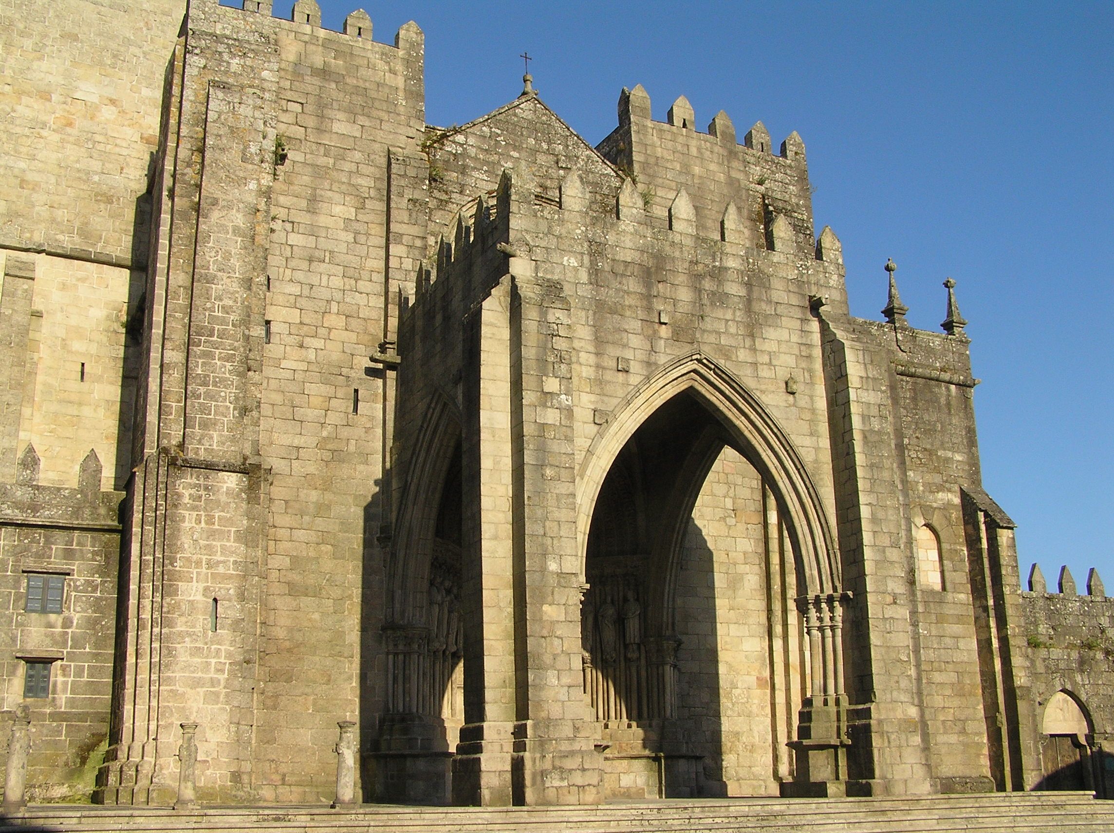
Tui (; Spanish: ''Tuy'') is a municipality in the province of Pontevedra in the autonomous community of Galicia (Spain), Galicia, in Spain. It is situated in the ''comarca'' of O Baixo Miño. It is located on the right bank of the Miño River, facing the Portugal, Portuguese town of Valença, Portugal, Valença. The municipality of Tui is composed of 11 parishes: Randufe, Malvas, Pexegueiro, Areas, Pazos de Reis, Rebordáns, Ribadelouro, Guillarei, Paramos, Baldráns and Caldelas. Two bridges connect Tui and Valença: Tui International Bridge (known in Portugal as ''Valença International Bridge'' or "Friendship Bridge"), completed in 1878 under the direction of Pelayo Mancebo, and a modern one from the 1990s. Both countries being signatories of the Schengen Treaty, there are normally no formalities in crossing what is the busiest border-point in northern Portugal. History Prehistory The Tui area was inhabited since prehistoric times. Evidence of this are the sites found during ... [...More Info...] [...Related Items...] OR: [Wikipedia] [Google] [Baidu] |


