|
2018 Wakefield Metropolitan District Council Election
The 2018 Wakefield Metropolitan Borough Council election took place on 3 May 2018 to elect members of Wakefield Metropolitan District Council in England. The election was held on the same day as other local elections. The Labour Party and the Conservative Party fielded a full slate of 21 candidates, as well as 12 Liberal Democrats, 6 Yorkshire Party candidates, 4 Green Party candidates, 3 UK Independence Party candidates, 1 Trade Unionist and Socialist Coalition candidate and 1 Democrats and Veteran's Party candidate. Council make-up The make up of the Council following the election was: Summary * +/- compared with Wakefield Council election 2016. Results by ward Changes compared to 2014. ''Farmer was first elected as a UKIP Councillor for Ossett in 2014, but resigned his membership in 2017 and later joined the Conservatives.'' ''Harrison stood as Labour candidate for ... [...More Info...] [...Related Items...] OR: [Wikipedia] [Google] [Baidu] |
Wakefield UK Ward Map 2018
Wakefield is a cathedral city in West Yorkshire, England located on the River Calder. The city had a population of 99,251 in the 2011 census.https://www.nomisweb.co.uk/census/2011/ks101ew Census 2011 table KS101EW Usual resident population, West Yorkshire – Wakefield BUASD, code E35000474 The city is the administrative centre of the wider City of Wakefield metropolitan district, which had a population of , the most populous district in England. It is part of the West Yorkshire Built-up Area and the Yorkshire and The Humber region. In 1888, it was one of the last group of towns to gain city status due to having a cathedral. The city has a town hall and county hall, as the former administrative centre of the city's county borough and metropolitan borough as well as county town to both the West Riding of Yorkshire and West Yorkshire, respectively. The Battle of Wakefield took place in the Wars of the Roses, and the city was a Royalist stronghold in the Civil War. ... [...More Info...] [...Related Items...] OR: [Wikipedia] [Google] [Baidu] |
Airedale And Ferry Fryston
Airedale and Ferry Fryston is an electoral ward of the City of Wakefield district used for elections to Wakefield Metropolitan District Council. Overview The ward is one of 21 in the Wakefield district, and has been held by Labour since the current boundaries were formed for the 2004 Council election. As of 2015, the electorate stands at 12,495 of which 97.2% identify as " White British" and 64.9% of who identify as Christian. The ward is situated in the north east of the District and forms the eastern part of the settlement of Castleford. The ward is relatively small in area terms, being fairly densely populated. The ward includes a number of different neighbourhoods, including Airedale, Ferry Fryston, Townville and Fryston Village. The northern edge of the ward is defined by the course of the River Aire, while to the east and south the ward is bounded by the A1(M) and M62 motorways. Representation Like all wards in the Wakefield district, Pontefract North has 3 cou ... [...More Info...] [...Related Items...] OR: [Wikipedia] [Google] [Baidu] |
Pontefract North
Pontefract North is an electoral ward of the City of Wakefield district, used for elections to Wakefield Metropolitan District Council. Overview The ward is one of 21 in the Wakefield district, and has been held by Labour since the current boundaries were formed for the 2004 Council election. As of 2015, the electorate stands at 12,495 of which 94.4% identify as "White British" and 69.3% of who identify as Christian. Notable landmarks in the ward include Pontefract Racecourse, Pontefract Castle and Valeo Confectionery, with the main areas being Monkhill and Pontefract Town centre. Representation Like all wards in the Wakefield district, Pontefract North has 3 councillors, whom are elected on a 4-year-rota. This means elections for new councillors are held for three years running, with one year every four years having no elections. The current councillors are Clive Tennant, Patricia Garbutt and Lorna Malkin, all of whom are Labour. The last time a Conservative councillor ... [...More Info...] [...Related Items...] OR: [Wikipedia] [Google] [Baidu] |
Ossett
Ossett is a market town in the City of Wakefield metropolitan borough in West Yorkshire, England. Historically part of the West Riding of Yorkshire, it is situated between Dewsbury, Horbury and Wakefield. At the 2011 Census, the population was 21,231.https://www.nomisweb.co.uk/census/2011/ks101ew Census 2011 table KS101EW Usual resident population, West Yorkshire – Ossett BUASD, code E35000387 Ossett forms part of the Heavy Woollen District. History Toponymy The name ''Ossett'' derives from the Old English and is either "the fold of a man named Osla" or " a fold frequented by blackbirds". Ossett is sometimes misspelled as "Osset". In Ellis' ''On Early English Pronunciation'', one of the founding works of British linguistics, the incorrect spelling is used. The British Library has an online dialect study that uses the spelling. One new alternative theory is that it is the place where King Osbehrt died after receiving fatal wounds when fighting the Great Heathen Army of the Vi ... [...More Info...] [...Related Items...] OR: [Wikipedia] [Google] [Baidu] |
Normanton (electoral Ward)
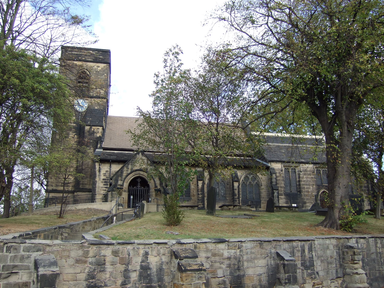
Normanton is an electoral ward of the City of Wakefield district used for elections to Wakefield Metropolitan District Council. Overview The ward is one of 21 in the Wakefield district, and has been held by Labour since the current boundaries were formed for the 2004 Council election. The predecessor ward was Normanton and Sharlston. As of 2019, the electorate stands at 12,315 of which 92.7% identify as "White British" and 67.9% of who identify as Christian. The ward comprises Normanton, Kirkthorpe, Woodhouse, Warmfield cum Heath and Ashfield with the key landmarks being Normanton railway station, All Saints' Church and Kirkthorpe Hydro. Representation Like all wards in the Wakefield district, Normanton has 3 councillors, whom are elected on a 4-year-rota. This means elections for new councillors are held for three years running, with one year every four years having no elections. The current councillors are Elaine Blezzard and David Dagger, both of whom are Labour. Th ... [...More Info...] [...Related Items...] OR: [Wikipedia] [Google] [Baidu] |
Knottingley (electoral Ward)
Knottingley is an electoral ward of the City of Wakefield district used for elections to Wakefield Metropolitan District Council. Overview The ward is one of 21 in the Wakefield district and has had the same boundaries since the 2004 Council election. As of 2015, the electorate stands at 12,495 of which 96.2% identify as "White British" and 69.4% of who identify as Christian. Notable parts of the ward include Knottingley and Ferrybridge with notable landmarks including Ferrybridge Power Stations, Kellingley Colliery and Willow Garth Nature Reserve. Representation Like all wards in the Wakefield district, Knottingley has 3 councillors, whom are elected on a 4-year-rota. This means elections for new councillors are held for three years running, with one year every four years having no elections. The current councillors are Harry Ellis from Labour and the Liberal Democrats' Tom Gordon and Adele Hayes. Knottingley is the only ward with a Liberal Democrat councillor in Wa ... [...More Info...] [...Related Items...] OR: [Wikipedia] [Google] [Baidu] |
South Ossett
South Ossett is the south part of the town of Ossett, in West Yorkshire, England. The north part is known as 'Ossett and Gawthorpe'. South Ossett is just north of Horbury with the main road of Storrs Hill Road. It is historically the least industrialised part of the town. Much of the new building growth in Ossett has been concentrated in the South Ossett area. About 25% of Ossett's population is within the South Ossett area. The town is next to countryside and is part of the Wakefield constituency and "Horbury and South Ossett" ward for elections. Two schools are located on Storrs Hill Road: Ossett Comprehensive High School and St. Ignatius Catholic Primary School. The former is Ossett's only remaining high school. Previously there was a ''North Ossett School''. The current Ossett school was previously ''Ossett Grammar School'', where the author Stan Barstow educated during the war. South Ossett contains St Ignatius Church and parish centre. The parish centre provides for mo ... [...More Info...] [...Related Items...] OR: [Wikipedia] [Google] [Baidu] |
Horbury
Horbury is a town in the City of Wakefield in West Yorkshire, England. Historically in the West Riding of Yorkshire, it is situated north of the River Calder about three miles (5 km) south west of Wakefield and two miles (3 km) to the south of Ossett. It includes the outlying areas of Horbury Bridge and Horbury Junction. At the 2001 census the Horbury and South Ossett ward of Wakefield Metropolitan District Council had a population of 10,002. At the 2011 census the population was 15,032. Old industries include woollens, engineering and building wagons for the railways. Horbury forms part of the Heavy Woollen District. History Toponymy The name Horbury is attested in 1086 as ''(H)orberie''. It is derived from Old English ''horu'' 'dirty land' and ''burh'' (in its dative form ''byrig''), which translates as 'filthy fortification' or 'stronghold on muddy land'. Other spellings include Orberie, Horbiry and Horberie. The name possibly referred to a fortification near ... [...More Info...] [...Related Items...] OR: [Wikipedia] [Google] [Baidu] |
Hemsworth
Hemsworth is a town and civil parish in the City of Wakefield, West Yorkshire, England. Historically within the West Riding of Yorkshire and had a population of 13,311 at the 2001 census, with it increasing to 13,533 at the 2011 Census. History While Hemsworth's recent history and reputation are dominated by the coal mining industry that developed in the latter part of the nineteenth century, it had long existed as an agricultural village. Hemsworth, meaning “Hymel’s enclosure” is mentioned in Domesday as Hemeleswrde and in the twelfth century as Hymelswrde. Into the Middle Ages it was a township in the Wapentake of Staincross and is also thought to have been in the honour, or feudal barony, of Pontefract. From the Middle Ages to Tudor times it would have seen little change to the manorial features, open fields, woods, commons, enclosed holdings, manor house, scattered farmsteads and the church, dedicated to St Helen, which dates to the eleventh or twelfth century. T ... [...More Info...] [...Related Items...] OR: [Wikipedia] [Google] [Baidu] |
Featherstone
Featherstone is a town and civil parish in the City of Wakefield, West Yorkshire, England, two miles south-west of Pontefract. Historically part of the West Riding of Yorkshire, in 2011 it had a population of 15,244. Featherstone railway station is on the Pontefract Line. History Despite most population growth taking place around the Industrial Revolution, Featherstone traces its history back much further than this. The Domesday Book (1086) records "In Ferestane eatherstoneand Prestone urstonand Arduwic ardwickand Osele ostell Ligulf had 16 carucates of land for geld, and 6 ploughs may be there." It is thought that a local public house, the Traveller's Rest, can trace its origins to the 17th century whilst the former Jubilee Hotel, a listed building now converted to apartments, once provided a resting place for wealthy Victorians and their horses. Standing stone's just outside the village indicate that there is evidence of an ancient druid grove. The original village is n ... [...More Info...] [...Related Items...] OR: [Wikipedia] [Google] [Baidu] |
Walton, Wakefield
Walton is a village and civil parish in the City of Wakefield in the county of West Yorkshire, England, 3.5 miles south-east of Wakefield. At the time of the 2011 Census, the parish had a population of 3,231. At the time of the 2011 Census the parish was part of the City of Wakefield's ward of Crofton, Ryhill and Walton. The population of this ward at the Census was 15,144. Historically part of the West Riding of Yorkshire, the village lies on the Barnsley Canal and is home to Walton Hall, once the residence of Charles Waterton, known as 'Squire' Waterton. He was a naturalist and explorer who, in 1820, transformed the grounds of the Walton Hall estate the world's first nature reserve. The estate is also often referred to on Ordnance Survey maps, etc., as Walton Park and, less frequently, as Walton Hall Park. More recently, it has become widely known as Waterton Park. Walton Hall is now Waterton Park Hotel. The park is now largely given over to a golf course, also named Wate ... [...More Info...] [...Related Items...] OR: [Wikipedia] [Google] [Baidu] |
Ryhill
Ryhill is a small village and civil parish situated on the B6428 road in West Yorkshire, England approximately south-east of the city of Wakefield. It has a population of 2,628, increasing to 2,894 at the 2011 census. Like many of the surrounding villages, it is still recovering from the effects of pit closures which has seen the demise of the many collieries which once surrounded the village. The local economy is currently enjoying a return to prosperity as new housing developments have made the village popular with commuters to nearby towns. The first mention of Ryhill in recorded history is an entry in the 1086 Domesday Book Domesday Book () – the Middle English spelling of "Doomsday Book" – is a manuscript record of the "Great Survey" of much of England and parts of Wales completed in 1086 by order of King William I, known as William the Conqueror. The manusc ... which describes 'Rihella' as having 4 ploughlands and an area of pasturable woodland. The name "Ry ... [...More Info...] [...Related Items...] OR: [Wikipedia] [Google] [Baidu] |


