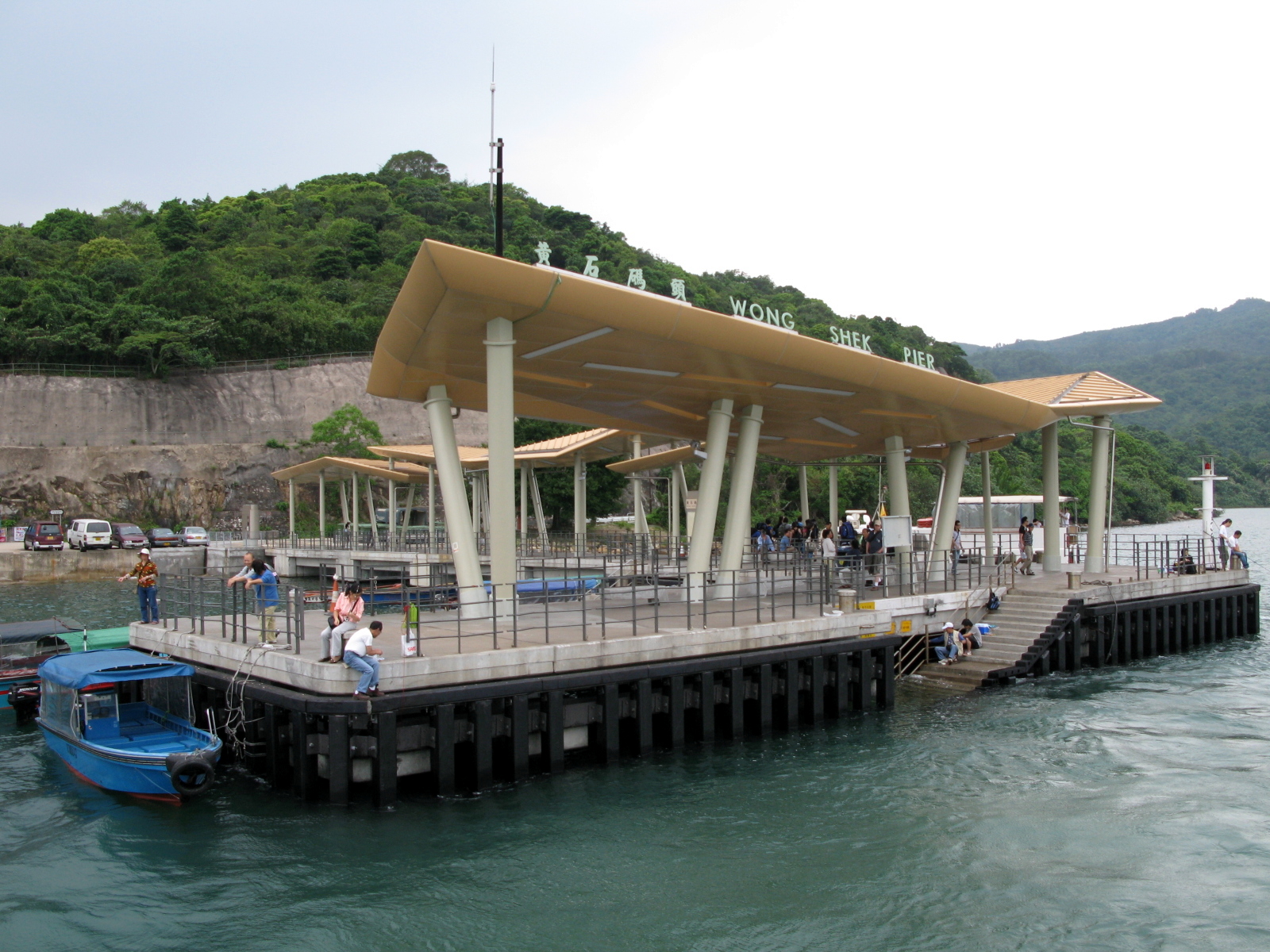
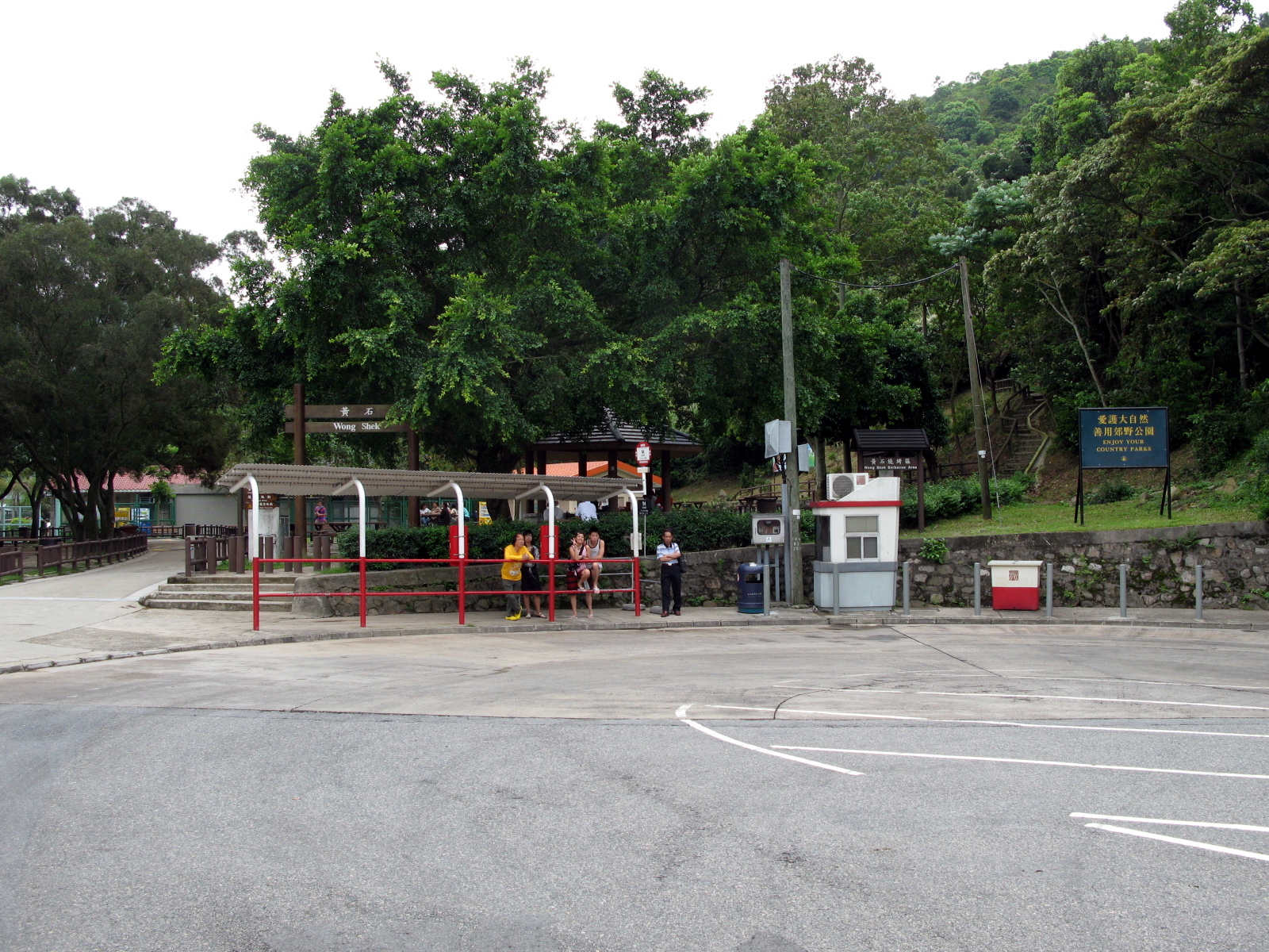
Wong Shek Pier on:
[Wikipedia]
[Google]
[Amazon]


 Wong Shek Pier () is a public


 Wong Shek Pier () is a public
 pier
A pier is a raised structure that rises above a body of water and usually juts out from its shore, typically supported by piling, piles or column, pillars, and provides above-water access to offshore areas. Frequent pier uses include fishing, b ...
on the shore of Long Harbour () in the north-east of Hong Kong
Hong Kong)., Legally Hong Kong, China in international treaties and organizations. is a special administrative region of China. With 7.5 million residents in a territory, Hong Kong is the fourth most densely populated region in the wor ...
's New Territories
The New Territories (N.T., Traditional Chinese characters, Chinese: ) is one of the three areas of Hong Kong, alongside Hong Kong Island and Kowloon. It makes up 86.2% of Hong Kong's territory, and contains around half of the population of H ...
. It is situated in the Wong Shek () area of the Sai Kung Peninsula
The Sai Kung Peninsula () is a peninsula in the easternmost part of the New Territories in Hong Kong. Its name comes from Sai Kung Town in the central southern area of the peninsula. The southern part of the peninsula is administered by Sai ...
. Administratively it is in Tai Po District
Tai Po District is one of the 18 districts of Hong Kong. The suburban district covers the areas of Tai Po New Town (including areas such as Tai Po Market, , Tai Po Industrial Estate, Tai Wo Estate), Tai Po Tau, Tai Po Kau, Hong Lok Yue ...
.
The pier serves kai-to
The kai-to, sometimes kaito or kaido () is a type of small, motorised ferry that operates in Hong Kong. They are usually used to serve remote coastal settlements in the territory's outlying islands.
There are currently 78 fixed kai-to routes ...
ferry routes to remote settlements on the peninsular and its outlying islands, such as Tap Mun
Grass Island or Tap Mun is an island in Hong Kong, located in the northeastern part of the territory. Its area is . Administratively, it is part of the Tai Po District. There are about 100 people living on the island, and feral cattle are kno ...
(), Wan Tsai
Wan Tsai () is a peninsula at the northern extremity of the north-western Sai Kung Peninsula, Hong Kong, with Hoi Ha Wan to its west and Long Harbour (Hong Kong), Long Harbour on its east. Tap Mun, Grass Island lies east of the peninsula.
Geog ...
() and Chek Keng
Chek Keng () is an area and village of Sai Kung North in Hong Kong. It is administratively part of Tai Po District.
Location
Chek Keng is located within Sai Kung East Country Park, on the northern coast of Sai Kung Peninsula and facing the C ...
(), and provides their principal connection to the rest of Hong Kong. It was reconstructed in 2006.
Transportation
Kowloon Motor Bus
The Kowloon Motor Bus Company (1933) Limited (KMB) is a bus company operating Bus services in Hong Kong, franchised services in Hong Kong. It is the largest bus company in Hong Kong by fleet size and number of bus routes, with over 4,000 buses ...
* Route #94 - from Sai Kung Bus Terminus
* Route #96R - from Diamond Hill MTR Station
* Route #289R - from Sha Tin Central (New Town Plaza) Bus Terminus
Note: All routes ending in “R” run only on weekends and public holidays.
Kai-to
The kai-to, sometimes kaito or kaido () is a type of small, motorised ferry that operates in Hong Kong. They are usually used to serve remote coastal settlements in the territory's outlying islands.
There are currently 78 fixed kai-to routes ...
* Ma Liu Shui
Ma Liu Shui is an area in Sha Tin District, in the New Territories, Hong Kong.
The area faces Tide Cove (Sha Tin Hoi) and Tolo Harbour. The Chinese University of Hong Kong and the Hong Kong Science Park are located in Ma Liu Shui.
Name et ...
- Sham Chung
Sham Chung () is a Hakka villageAntiquities Advisory Board. Historic Building AppraisalOld House, Ha Wai, Sham Chung Tsuen/ref> and an area of Neolithic settlement in Hong Kong. It is located in the south of Tolo Channel, beside Three Fath ...
- Lai Chi Chong
Lai Chi Chong () is a village and an area of Hong Kong, located on the southeastern shore of Tolo Channel, and on the northern shore of the Sai Kung Peninsula, in the Eastern New Territories. Administratively, it is part of Tai Po District.
A ...
- Tap Mun
Grass Island or Tap Mun is an island in Hong Kong, located in the northeastern part of the territory. Its area is . Administratively, it is part of the Tai Po District. There are about 100 people living on the island, and feral cattle are kno ...
- Ko Lau Wan - Chek Keng
Chek Keng () is an area and village of Sai Kung North in Hong Kong. It is administratively part of Tai Po District.
Location
Chek Keng is located within Sai Kung East Country Park, on the northern coast of Sai Kung Peninsula and facing the C ...
- Wong Shek Pier
* Wong Shek Pier - Chek Keng - Tap Mun
* Wong Shek Pier - Wan Tsai
Wan Tsai () is a peninsula at the northern extremity of the north-western Sai Kung Peninsula, Hong Kong, with Hoi Ha Wan to its west and Long Harbour (Hong Kong), Long Harbour on its east. Tap Mun, Grass Island lies east of the peninsula.
Geog ...
- Chek Keng
References
{{coord, 22.435590, 114.337319, display=title Piers in Hong Kong Sai Kung Peninsula