Tlapanaloya on:
[Wikipedia]
[Google]
[Amazon]
Tlapanaloya is a town in the municipality of
 The town of Tlapanaloya, is an urban area in the municipality of Tequixquiac. The town is divided in four ''
Tequixquiac
Tequixquiac is a municipalities of Mexico, municipality located in the Zumpango Region of the State of Mexico in Mexico. The municipality is located north of Mexico City within the valley that connects the Valley of Mexico with the Mezquital Vall ...
in Mexico State
The State of Mexico, officially just Mexico, is one of the administrative divisions of Mexico, 32 federal entities of the United Mexican States. Colloquially known as Edomex (from , the abbreviation of , and ), to distinguish it from the name o ...
in Mexico
Mexico, officially the United Mexican States, is a country in North America. It is the northernmost country in Latin America, and borders the United States to the north, and Guatemala and Belize to the southeast; while having maritime boundar ...
. The town is bordered on the north La Heredad Ranch ranching The Homestead, south to the Tajo de Tequixquiac, east village Hueypoxtla
Hueypoxtla or Villa de San Bartolomé Hueypoxtla is a town in the State of Mexico, in Mexico. It serves as the municipal seat of the surrounding municipality of the same name. In 2010, the town had a total population of 3,989. The name comes from ...
and west by the town of Santiago Tequixquiac
Santiago Tequixquiac (or Tequixquiac in Nahuatl and Nthehe in Otomi language, Otomi), is a town and municipal seat from Municipalities of Mexico, municipality of Tequixquiac in the State of Mexico, in Mexico. As of 2010, the village had a total po ...
. The name Tlapanaloya is a Nahuatl toponymy, means ''Place where is broken stones'', ''te-'' is stone, is to brake, is place.
Geography
barrio
''Barrio'' () is a Spanish language, Spanish word that means "Quarter (urban subdivision), quarter" or "neighborhood". In the modern Spanish language, it is generally defined as each area of a city delimited by functional (e.g. residential, comm ...
s'' (neighborhood.) and two colonias ejidales (Agricultural colony).
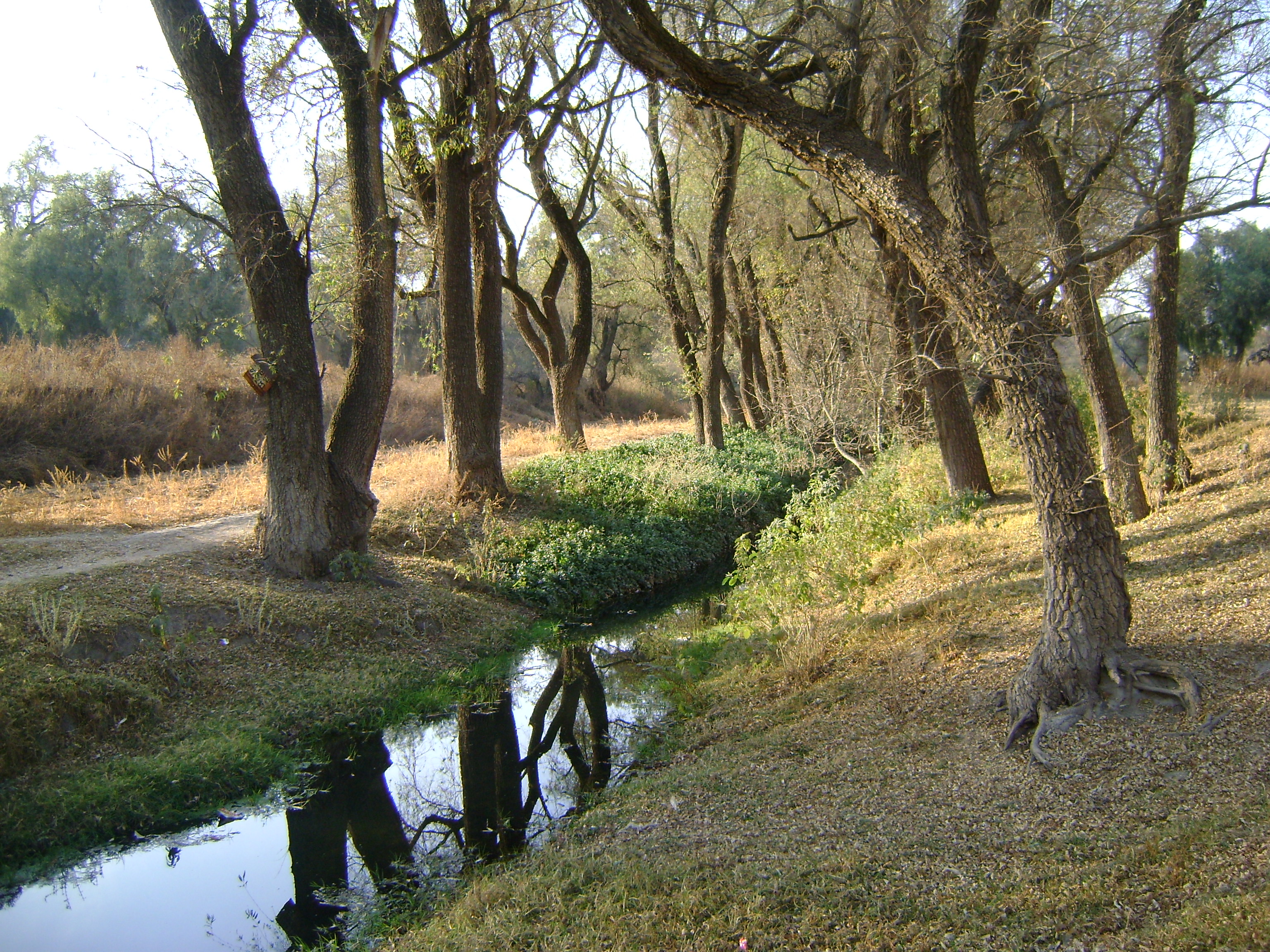
In Tlapanaloya cross a river ''Salado de Hueypoxtla'', the water most important by irrigation; over hills there are many ''arroyos'' and ''jagueyes''.
The orography is formed by hills and plains; the biggest hill is Monte Alto, the Tlapanaloya territory is dry plains of limestone.
History
Tetlapanaloyan was an eleven places of Hueypoxtla province that made a tax payment for the Aztec empire. This site was an Aztec ''altepetl'' (village) inhabited by otomi and nahua people.Spanish period
In 1542, Tlapanaloya was given in encomienda to Spanish Juan Díaz de Lo Real, he built haciendas over Indian's agricultural lands and pay taxes to Hueypoxtla for Mexico City bishop.Government and administrative divisions
Tlapanaloya is a town inside Tequixquiac municipality, the government known as ''Delegación'', this town has got '' regidores'' (councils) governing with municipal president.Neighborhoods
Agricultural colonies
Culture
Historical monuments
* La Asunción parish is a most important monument in Tlapanaloya town, is located at main square. It is a Baroque church subject to Cuautitlan Diocese. * Salado River bridge is a colonial construction by camino real way to Santiago Tequixquiac. * La Esperanza hacienda is a Spanish building connecting with other haciendas and old towns.References
{{Reflist Neighborhoods in the State of Mexico Populated places in the Teotlalpan Tequixquiac Otomi settlements Nahua settlements