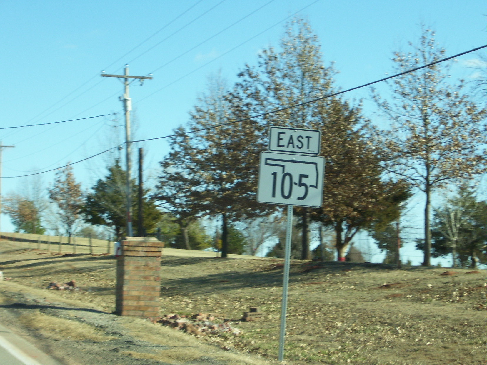
State Highway 105 (Oklahoma) on:
[Wikipedia]
[Google]
[Amazon]
State Highway 105 (abbreviated SH-105) is a
 The highway begins at State Highway 33 just east of Guthrie, just east of
SH-105 at Roadklahoma
state highway
A state highway, state road, or state route (and the equivalent provincial highway, provincial road, or provincial route) is usually a road that is either Route number, numbered or maintained by a sub-national state or province. A road numbered ...
in the north-central part of the U.S. state
In the United States, a state is a constituent political entity, of which there are 50. Bound together in a political union, each state holds governmental jurisdiction over a separate and defined geographic territory where it shares its so ...
of Oklahoma
Oklahoma ( ; Choctaw language, Choctaw: , ) is a landlocked U.S. state, state in the South Central United States, South Central region of the United States. It borders Texas to the south and west, Kansas to the north, Missouri to the northea ...
. It runs for across Logan
Logan may refer to:
Places
* Mount Logan (disambiguation)
Australia
* Logan (Queensland electoral district), an electoral district in the Queensland Legislative Assembly
* Logan, Victoria, small locality near St. Arnaud
* Logan City, local gove ...
and Lincoln
Lincoln most commonly refers to:
* Abraham Lincoln (1809–1865), the 16th president of the United States
* Lincoln, England, cathedral city and county town of Lincolnshire, England
* Lincoln, Nebraska, the capital of Nebraska, U.S.
* Lincoln (na ...
Counties. It has no lettered spur routes.
SH-105 was formed over the course of 1955. The eastern half of the road was added to the state highway system first, in January of that year, followed by the western half, added in June.
Route description
 The highway begins at State Highway 33 just east of Guthrie, just east of
 Interstate 35
Interstate 35 (I-35) is a major Interstate Highway in the central United States. As with most primary Interstates that end in a five, it is a major cross-country, north–south route. It stretches from Laredo, Texas, near the Mexican bo ...
. It heads due east from here, passing just north of the northernmost tip of Country Club Lake. Just after this lake, the highway turns southeast, then back to the east, bringing it onto the section line
In U.S. land surveying under the Public Land Survey System (PLSS), a section is an area nominally , containing , with 36 sections making up one survey township on a rectangular grid.
The legal description of a tract of land under the PLSS incl ...
that it will follow for the remainder of its route. The highway crosses the Indian Meridian
The Indian meridian, in longitude 97° 14′ 30″ west from Greenwich, extends from Red River to the south boundary of Kansas, and, with the base line in latitude 34° 30′ north, governs the surveys in Oklahoma east of 100° west longitude fr ...
north of the town of Meridian
Meridian or a meridian line (from Latin ''meridies'' via Old French ''meridiane'', meaning “midday”) may refer to
Science
* Meridian (astronomy), imaginary circle in a plane perpendicular to the planes of the celestial equator and horizon
* ...
. The highway continues east, crossing from Logan into Lincoln County.
At the unincorporated place of Four Corners
Four Corners is a region of the Southwestern United States consisting of the southwestern corner of Colorado, southeastern corner of Utah, northeastern corner of Arizona, and northwestern corner of New Mexico. Most of the Four Corners regio ...
, the highway intersects US-177 north of Carney, its first highway junction in . Three miles (4.8 km) later it runs through the small town of Tryon. Five miles (8 km) later it ends at State Highway 18, two miles (3.2 km) south of Agra
Agra ( ) is a city on the banks of the Yamuna river in the Indian state of Uttar Pradesh, about south-east of the national capital Delhi and 330 km west of the state capital Lucknow. With a population of roughly 1.6 million, Agra is the ...
.
History
SH-105 was first commissioned on January 26, 1955. At this time, the highway began at SH-40 (present-day US-177) west of Tryon, and ended at SH-18 south of Agra. The highway was extended west to its current western terminus east of Guthrie on June 4, 1955. The highway has no further alterations to its extent since. SH-105 was originally gravel-surfaced. By 1959, the eastern half of the highway had been paved. The western half of the highway was not shown on the official state map at all until the 1981 edition, which showed it as paved.Junction list
References
External links
{{Attached KML, display=title,inlineSH-105 at Roadklahoma
105 105 may refer to:
*105 (number), the number
* AD 105, a year in the 2nd century AD
* 105 BC, a year in the 2nd century BC
* 105 (telephone number), the emergency telephone number in Mongolia
* 105 (MBTA bus), a Massachusetts Bay Transport Authority ...
Transportation in Logan County, Oklahoma
Transportation in Lincoln County, Oklahoma