Siddhartha Highway on:
[Wikipedia]
[Google]
[Amazon]
Siddhartha Highway (), or NH47 (previously: H10)is a major highway in
 The length of highway is . The major settlements on the highway are Siddharthanagar, Butwal, Tansen,
File:Butwal city.jpg, Butwal
File:Tansen-32-Butval-Rast-2013-gje.jpg, Near Tansen
File:Siddharta Highway Near Galyang.jpg, Near Galyang
File:Waling Municipality.jpg, Waling
File:Kaligandaki River, Ramdi, Syangja.jpg, Bridge over Kaligandaki river
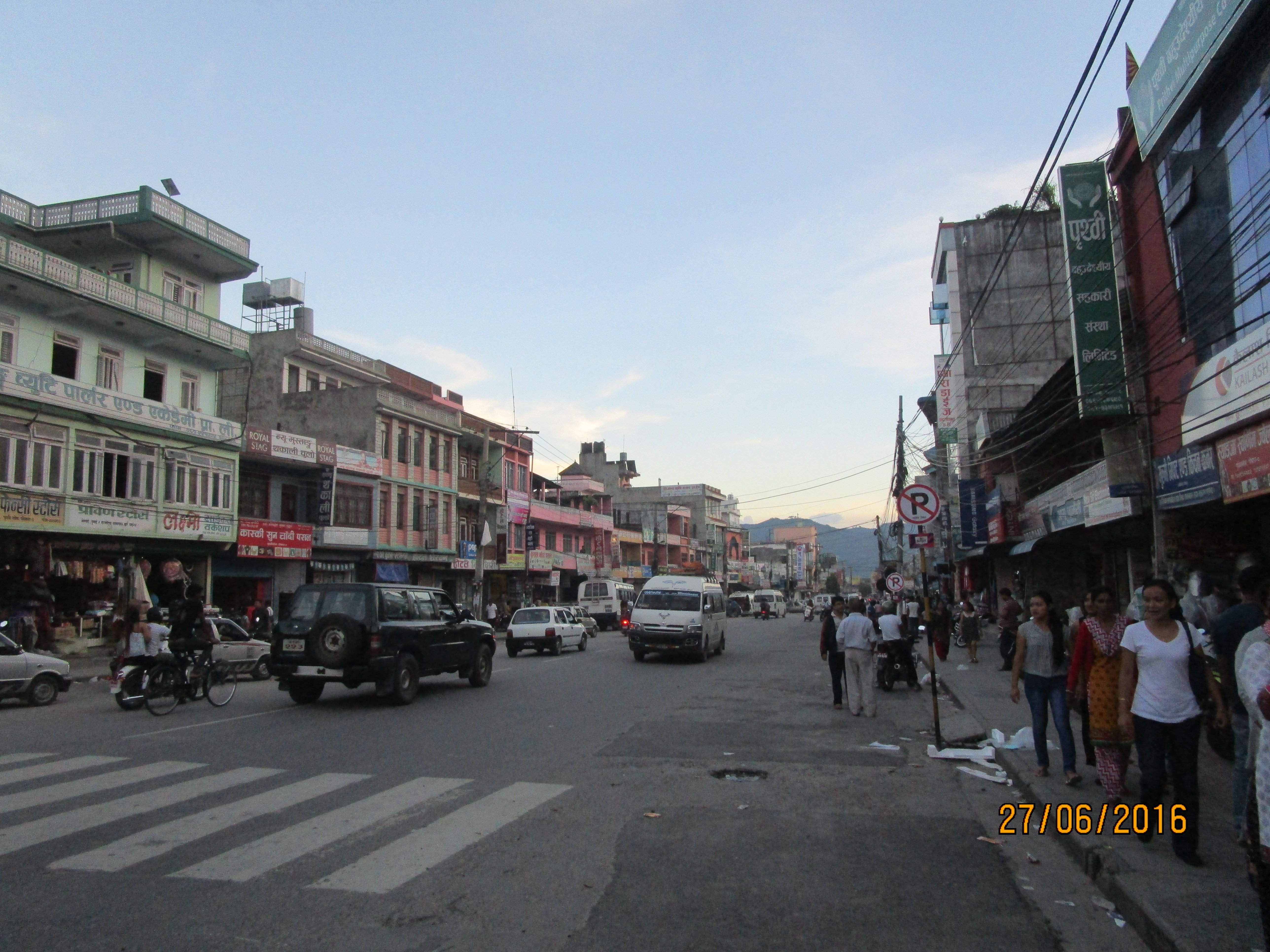
File:Nayabazar Road at Prithvi Chowk.jpg, Pokhara
Nepal
Nepal, officially the Federal Democratic Republic of Nepal, is a landlocked country in South Asia. It is mainly situated in the Himalayas, but also includes parts of the Indo-Gangetic Plain. It borders the Tibet Autonomous Region of China Ch ...
that connects the Terai
The Terai or Tarai is a lowland region in parts of southern Nepal and northern India that lies to the south of the outer foothills of the Himalayas, the Sivalik Hills and north of the Indo-Gangetic Plain.
This lowland belt is characterised by ...
region in southern Nepal with the mountain region in northern Nepal. The highway starts at the Nepal–India border near Siddharthanagar
Siddharthanagar (), formerly and colloquially still called Bhairahawa (), is a municipality and the administrative headquarter of Rupandehi District in Lumbini Province of Nepal, west of Nepal's capital Kathmandu. It is the closest city to Lumb ...
and terminates at Pokhara
Pokhara ( ) is a metropolis, metropolitan city located in central Nepal, which serves as the capital of Gandaki Province. Named the country's "capital of tourism" it is the List of cities in Nepal, second largest city after Kathmandu, with 599,5 ...
. This highway intersects with the east–west Mahendra Highway at Butwal
Butwal (), officially Butwal Sub-Metropolitan City (), previously known as Khasyauli (Nepali: खस्यौली), is a sub-metropolitan city and economic hub in Lumbini Province in West Nepal. Butwal has a city population of 195,054 as per t ...
.
The highway construction was started in 1964 and completed in 1971. It was inaugurated by King Birendra on 9 May 1972 (25 Baisakh 2029 BS) in Pokhara. Constructed with Indian financial assistance, the highway consists of about 34 bridges with the longest bridge over the Kali Gandaki River
The Gandaki River, also known as the Narayani and Gandak, is one of the major rivers in Nepal and a left-bank tributary of the Ganges in India. Its total catchment area is , most of it in Nepal. In the Nepal Himalayas, the Gandaki is notable f ...
in Ramdi. The highway takes its name from Siddhartha Gautam (Gautama Buddha
Siddhartha Gautama, most commonly referred to as the Buddha (),*
*
*
was a śramaṇa, wandering ascetic and religious teacher who lived in South Asia during the 6th or 5th century BCE and founded Buddhism. According to Buddhist lege ...
).
Route description
 The length of highway is . The major settlements on the highway are Siddharthanagar, Butwal, Tansen,
 Waling
Waling List of cities in Nepal#Alphabetical list, Municipality (वालिङ नगरपालिका), located in the heart of Syangja District, Syangja, is a town and municipality in the western hilly region of Nepal. It was formed ...
, Putalibazar, Syangja
Syangja District (; ) is a part of Gandaki Province, and is one of the seventy-seven districts of Nepal. Its headquarter is Putalibazar with a diverse population including Brahmin, Magar, Chhetri, Dalit and Gurung communities. Syangja is home ...
and Pokhara.
The Butwal–Palpa section of this road consists of rocky terrain and frequent rock-fall which sometimes causes fatal accidents.
The road is considered among top five busiest highways in Nepal. The road is mainly used for transportation of food and agricultural products. People who want to travel to Pokhara generally do not use this highway because of large number of narrow curves and the poor quality of the road.
References
Highways in Nepal 1971 establishments in Nepal Roads in Gandak Province Roads in Lumbini Province {{Nepal-road-stub