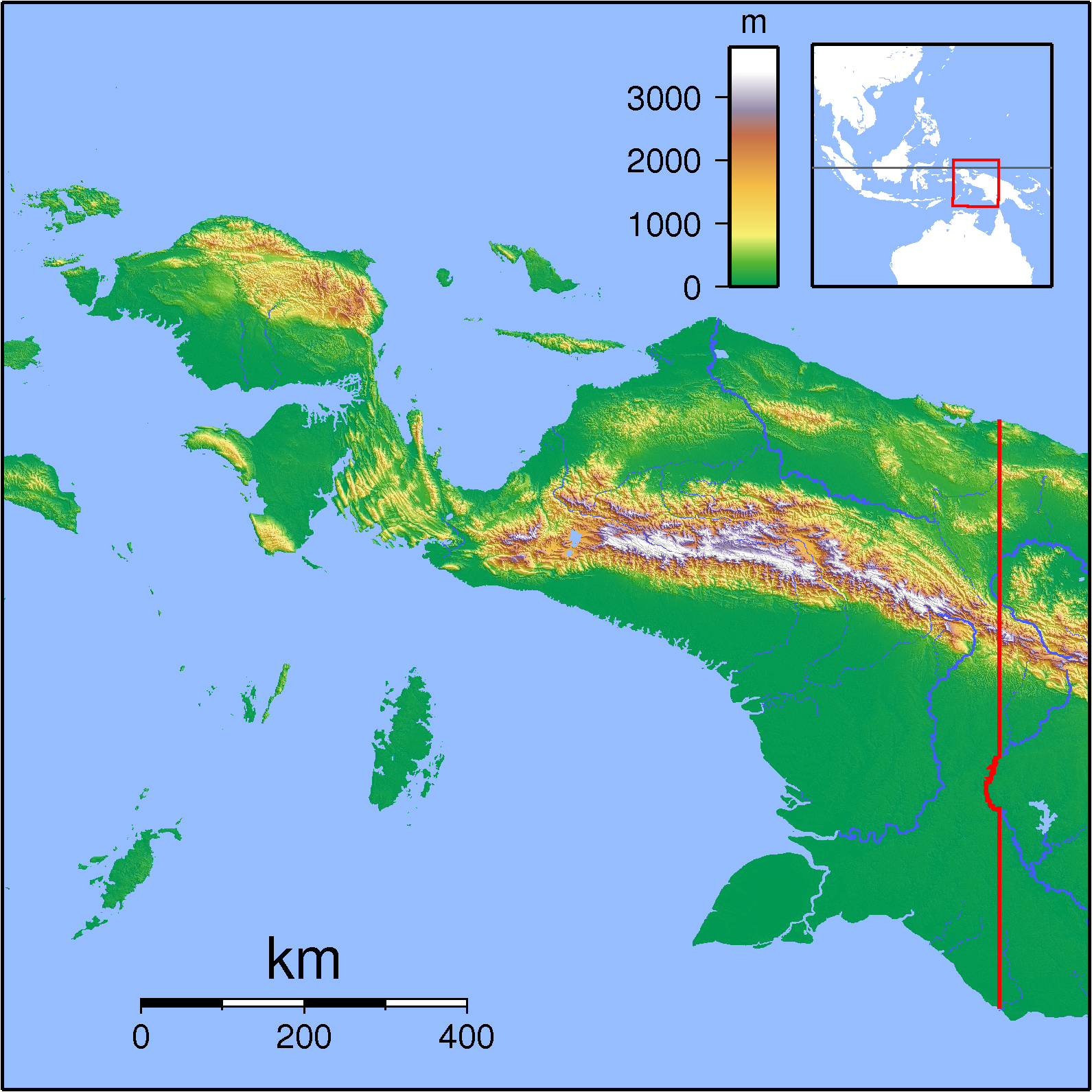
Rouffaer River on:
[Wikipedia]
[Google]
[Amazon]
 The Tariku or Rouffaer River is a river in the northern part of the
 Sungai Tariku
- Geonames.org.
 The Tariku or Rouffaer River is a river in the northern part of the
 Indonesia
Indonesia, officially the Republic of Indonesia, is a country in Southeast Asia and Oceania, between the Indian Ocean, Indian and Pacific Ocean, Pacific oceans. Comprising over List of islands of Indonesia, 17,000 islands, including Sumatra, ...
n province of Papua. It is one of the major tributary of Mamberamo River
The Mamberamo (''Indonesian: Sungai Mamberamo'') is the second-longest river on the island of New Guinea, after Sepik River (1,126 km) and the second largest in Oceania by discharge volume after Fly River, Fly. It is located in the Indonesia ...
with a total length of .- Geonames.org.
Name
During the Dutch colonial era it was known as the Rouffaer River.Hydrology
The Tariku River flows generally eastward in the basin north of the island's central mountainous cordillera. Eventually it meets theTaritatu River
The Taritatu or Idenburg River, also called Baliem River, is a river in the northern part of the Indonesian province of Papua. It is the largest tributary of Mamberamo River with a total length of .
Name
During the Dutch colonial era it was kno ...
, and at this confluence the two rivers become the Mamberamo River
The Mamberamo (''Indonesian: Sungai Mamberamo'') is the second-longest river on the island of New Guinea, after Sepik River (1,126 km) and the second largest in Oceania by discharge volume after Fly River, Fly. It is located in the Indonesia ...
, one of the largest rivers on the island of New Guinea (Papua).
Geography
The river flows in the northern area of Papua with predominantlytropical rainforest climate
A tropical rainforest climate or equatorial climate is a tropical climate sub-type usually found within 10 to 15 degrees latitude of the equator. There are some other areas at higher latitudes, such as the coast of southeast Florida, United States ...
(designated as ''Af'' in the Köppen-Geiger climate classification). The annual average temperature in the area is 22 °C. The warmest month is October, when the average temperature is around 23 °C, and the coldest is March, at 21 °C. The average annual rainfall is 4269 mm. The wettest month is April, with an average of 487 mm rainfall, and the driest is July, with 278 mm rainfall.
See also
*List of drainage basins of Indonesia
This is a list of river catchment areas, also known as drainage basins, in Indonesia.
Based on the National River Basin Classification map, Indonesia has a total of 42,210 river basins organized as a basis for determining watershed management poli ...
*List of rivers of Indonesia
This is a list of rivers in Indonesia.''Map of Indonesia''. Peta Indonesia. Wawasan Nusantara. CV. Indo Prima Sarana. Accessed 29 Juli 2017.
By island
This list is arranged by island in alphabetical order, with respective tributaries indented un ...
*List of rivers of Western New Guinea
This is a partial list of rivers of Western New Guinea in Indonesia.''Map of Indonesia''. Peta Indonesia. Wawasan Nusantara. CV. Indo Prima Sarana. Accessed 29 Juli 2017.
In alphabetical order
By mouth location
From west to east:
North coast ...
* Tariku River languages
References
{{Rivers of Western New Guinea Rivers of Papua (province) Mamberamo basin