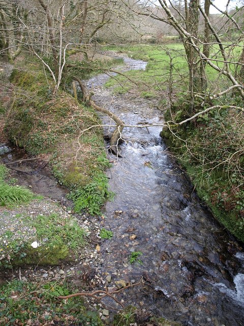
River Allen, Cornwall on:
[Wikipedia]
[Google]
[Amazon]

 The River Allen (, meaning ''slate river'') in north Cornwall is one of two rivers in

 The River Allen (, meaning ''slate river'') in north Cornwall is one of two rivers in
 Cornwall
Cornwall (; or ) is a Ceremonial counties of England, ceremonial county in South West England. It is also one of the Celtic nations and the homeland of the Cornish people. The county is bordered by the Atlantic Ocean to the north and west, ...
which share this name. In this case the name is the result of a mistake made in 1888 by Ordnance Survey, replacing the name ''Layne'' with ''Allen'' which is the old name for the lower reaches of the Camel. The other River Allen runs through Truro.
The River Allen is a major tributary of the River Camel
The River Camel (, meaning ''crooked river'') is a river in Cornwall, England. It rises on the edge of Bodmin Moor and with its tributaries its catchment area covers much of North Cornwall. The river flows into the eastern Celtic Sea between ...
. It springs northeast of Camelford
Camelford () is a town and civil parish in north Cornwall, England, United Kingdom, situated in the River Camel valley northwest of Bodmin Moor. The town is approximately north of Bodmin and is governed by Camelford Town Council. The ward pop ...
and flows south-southwest through the Allen Valley passing St Teath
St Teath (; ) is a civil parishes in Cornwall, civil parish and Churchtown, Cornwall, village in north Cornwall, England, in the United Kingdom.
Geography
The village is situated approximately southwest of Camelford and northeast of Wadebrid ...
and to join the Camel near Sladesbridge
Sladesbridge () is a village located near Wadebridge in Cornwall, England. It is situated at the confluence of the River Allen and the Croan Stream about 1 km upstream of the confluence with the River Camel. The surrounding area is in the ...
.
References
External links
* Rivers of Cornwall Cornish Killas 1Allen {{Cornwall-geo-stub