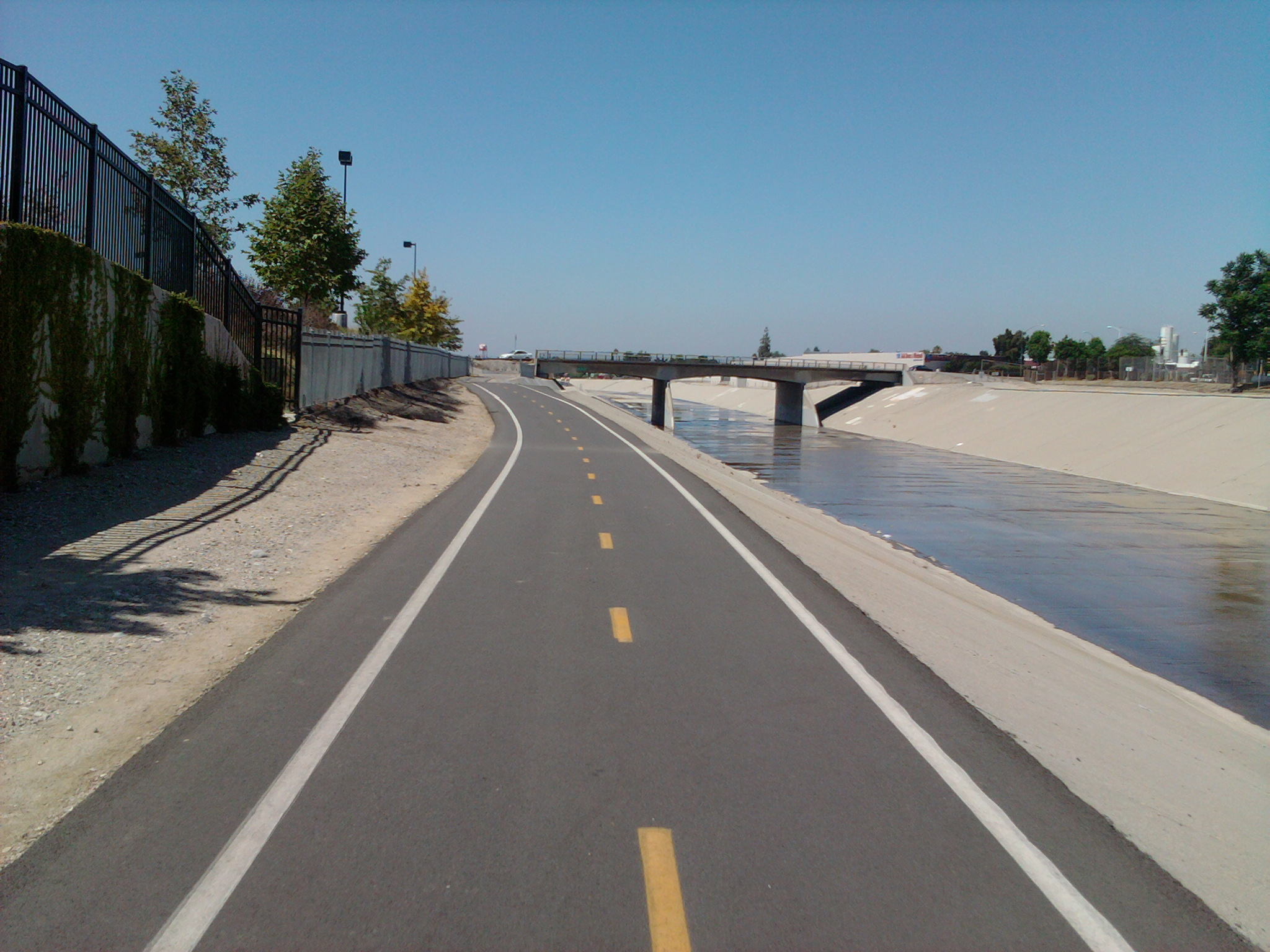
Rio Hondo Bicycle Path on:
[Wikipedia]
[Google]
[Amazon]
 The Rio Hondo Bike Path is a
. accessed 6.16.2012 The path is gently graded, and has sections with more greenery and mature trees than other bicycle paths in the area. ''Rio Hondo'' means ''deep river'' in Spanish. The proximity of the Rio Hondo Bike Path to the central regional transit hub at the
Bike Paths — Rio Hondo bicycle path
{{DEFAULTSORT:Rio Hondo Bicycle Path Bike paths in Los Angeles San Gabriel Valley Parks in Los Angeles County, California
 The Rio Hondo Bike Path is a
 bicycle path
A bicycle, also called a pedal cycle, bike, push-bike or cycle, is a human-powered or motor-assisted, pedal-driven, single-track vehicle, with two wheels attached to a frame, one behind the other. A is called a cyclist, or bicyclist.
...
that parallels the Rio Hondo (creek) through the San Gabriel Valley
The San Gabriel Valley (), sometimes referred to by its initials as SGV, is one of the principal valleys of Southern California, with the city of Los Angeles directly bordering it to the west and occupying the vast majority of the southeastern ...
, in eastern Los Angeles County
Los Angeles County, officially the County of Los Angeles and sometimes abbreviated as LA County, is the most populous county in the United States, with 9,663,345 residents estimated in 2023. Its population is greater than that of 40 individua ...
, California.L.A. Bikepaths-R.Hondo. accessed 6.16.2012 The path is gently graded, and has sections with more greenery and mature trees than other bicycle paths in the area. ''Rio Hondo'' means ''deep river'' in Spanish. The proximity of the Rio Hondo Bike Path to the central regional transit hub at the
El Monte Station
El Monte Station is a large regional bus station in the city of El Monte, California, United States, adjacent to Interstate 10, serving the Metro J Line, Foothill Transit, Greyhound Lines, and El Monte Transit. It is the Metro J Line's east ...
, including the MetroLink J Line, makes it one of the most accessible routes to access a variety of bike paths and local parks.
Route
The northern start of the Rio Hondo Bike Path is at thePeck Road Water Conservation Park
A peck is an imperial and United States customary unit of dry volume, equivalent to 8 dry quarts or 16 dry pints. An imperial peck is equivalent to 9.09218 liters and a US customary peck is equivalent to 8.80976754172 liters. Four pecks make a ...
in the southern Monrovia
Monrovia () is the administrative capital city, capital and largest city of Liberia. Founded in 1822, it is located on Cape Mesurado on the Atlantic Ocean, Atlantic coast and as of the 2022 census had 1,761,032 residents, home to 33.5% of Liber ...
area.
From there, the southbound path follows along a rural stream bed through the Whittier Narrows Recreation Area
The Whittier Narrows is a narrows or water gap in the San Gabriel Valley of Los Angeles County, California, United States, between the Puente Hills to the east and the Montebello Hills to the west. The gap is located at the southern boundary of t ...
. One can connect to the San Gabriel River bicycle path
The San Gabriel River Trail (also known as SGRT) is a bike path along the San Gabriel River through El Dorado Regional Park and onto street bike trails near the Alamitos Bay Marina in Los Angeles County, California. The South end is Seal Be ...
via the Legg Lake bicycle path here. The Rio Hondo bike path continues south and joins Los Angeles River bicycle path
The Los Angeles River bicycle path is a Los Angeles bike paths, Class I bicycle and pedestrian path in the Greater Los Angeles area running from north to east along the Los Angeles River through Griffith Park in an area known as the Glendale Narro ...
at the confluence
In geography, a confluence (also ''conflux'') occurs where two or more watercourses join to form a single channel (geography), channel. A confluence can occur in several configurations: at the point where a tributary joins a larger river (main ...
of the Rio Hondo and Los Angeles River
The Los Angeles River (), historically known as by the Tongva and the by the Spanish, is a major river in Los Angeles County, California. Its headwaters are in the Simi Hills and Santa Susana Mountains, and it flows nearly from Canoga Park ...
in South Gate. The L.A. River bike path continues to downtown Long Beach
Long Beach is a coastal city in southeastern Los Angeles County, California, United States. It is the list of United States cities by population, 44th-most populous city in the United States, with a population of 451,307 as of 2022. A charter ci ...
, ending by the Pacific Ocean.
References
External links
Bike Paths — Rio Hondo bicycle path
{{DEFAULTSORT:Rio Hondo Bicycle Path Bike paths in Los Angeles San Gabriel Valley Parks in Los Angeles County, California