Rhiangoll on:
[Wikipedia]
[Google]
[Amazon]
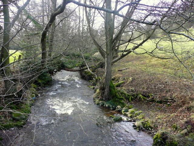
 The Rhiangoll is a river in the
images of the Rhiangoll valley and surrounding area on Geograph website
 The Rhiangoll is a river in the
 Brecon Beacons National Park
Brecon Beacons National Park, officially named Bannau Brycheiniog National Park (), is a National parks of the United Kingdom, national park in Wales. It is named after the Brecon Beacons (), the mountain range at its centre. The national park ...
in Powys
Powys ( , ) is a Principal areas of Wales, county and Preserved counties of Wales, preserved county in Wales. It borders Gwynedd, Denbighshire, and Wrexham County Borough, Wrexham to the north; the English Ceremonial counties of England, ceremo ...
, Wales
Wales ( ) is a Countries of the United Kingdom, country that is part of the United Kingdom. It is bordered by the Irish Sea to the north and west, England to the England–Wales border, east, the Bristol Channel to the south, and the Celtic ...
. It rises on the western slopes of Waun Fach, highest point of the Black Mountains (Welsh: Y Mynyddoedd Duon) and drops steeply down to the west into the north–south valley through which the A479 runs between Talgarth
Talgarth is a market town, community (Wales), community and electoral ward in southern Powys, Mid Wales, about north of Crickhowell, north-east of Brecon and south-east of Builth Wells. Notable buildings in the town include the 14th-century ...
and the hamlet of Tretower
Tretower () is a hamlet in the community of Cwmdu and District, in the southern part of the county of Powys in Wales. It lies on the A479 road within the Brecon Beacons National Park (Bannau Brycheiniog) at the foot of the Black Mountains jus ...
and through the village of Cwmdu. It is joined by various minor tributary streams on its left bank including the Ffinnant, Nant yr Ychen, Nant-y-fedw and Nantygarreg, all of which rise on the flanks of the ridge extending between the Pen Trumau spur of Waun Fach and Pen Gloch-y-pibwr. Two tributary streams flowing from Mynydd Troed and Mynydd Llangorse
Mynydd Llangorse is a mountain on the western edge of the Black Mountains, Wales, Black Mountains in the Brecon Beacons National Park in Powys, south Wales. It lies two miles east of Llangors and Llangorse Lake, its lake and 5 miles south of Talg ...
enter on its right bank as does Nant Ewyn east of the village of Bwlch.
The main valley was excavated by glacial
A glacier (; or ) is a persistent body of dense ice, a form of rock, that is constantly moving downhill under its own weight. A glacier forms where the accumulation of snow exceeds its ablation over many years, often centuries. It acquires ...
ice during the course of the ice ages
An ice age is a long period of reduction in the temperature of Earth's surface and atmosphere, resulting in the presence or expansion of continental and polar ice sheets and alpine glaciers. Earth's climate alternates between ice ages, and Gre ...
as it breached the watershed at Pengenffordd. Its broad lower section was influenced by the merging of the Rhiangoll valley ice with that of the main Usk Valley glacier
A glacier (; or ) is a persistent body of dense ice, a form of rock, that is constantly moving downhill under its own weight. A glacier forms where the accumulation of snow exceeds its ablation over many years, often centuries. It acquires ...
which swept down past Bwlch. The Rhiangoll itself enters the River Usk
The River Usk (; ) rises on the northern slopes of the Black Mountain (''y Mynydd Du''), Wales, in the westernmost part of the Brecon Beacons National Park. Initially forming the boundary between Carmarthenshire and Powys, it flows north int ...
near Glanusk (or 'Tower') Bridge 1 mile south of Tretower.British Geological Survey 1:50,000 map sheet 214 'Talgarth' & accompanying sheet explanation
External links
images of the Rhiangoll valley and surrounding area on Geograph website
References
Black Mountains, Wales Rivers of the Brecon Beacons National Park Rivers of Powys {{Wales-river-stub