Reade Peak on:
[Wikipedia]
[Google]
[Amazon]
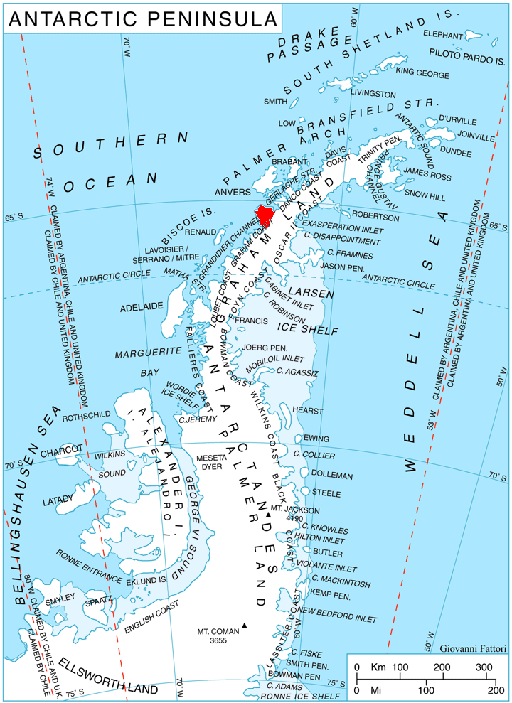
 Reade Peak () is a peak, 1,060 m, rising 1 mile south of
SCAR Composite Gazetteer of Antarctica
Mountains of Graham Land Danco Coast {{DancoCoast-geo-stub
Sonia Point
Sonia Point () is a point lying 6 miles west of Rahir Point on the south side of Flandres Bay, on the northeast coast of Kyiv Peninsula, Graham Land. It is 1 mile north of Reade Peak. First charted by the French Antarctic Expedition
The French ...
and Flandres Bay Flandres Bay is a large bay lying between Cape Renard and Cape Willems, along the west coast of Graham Land, Antarctica. It was explored in 1898 by the Belgian Antarctic Expedition under Gerlache, who named it, probably after the historical area of ...
, on the northeast coast of Kyiv Peninsula
Kyiv Peninsula (, ) is the predominantly ice-covered, oval shaped peninsula projecting 35 km in northwest direction from the west side of Graham Land, Antarctic Peninsula. It is bounded by Flandres Bay to the northeast and Beascochea Bay to t ...
, Graham Land, Antarctica. Mapped by the Falkland Islands Dependencies Survey (FIDS) from photos taken by Hunting Aerosurveys Ltd. in 1956–57. Named by the United Kingdom Antarctic Place-Names Committee (UK-APC) in 1960 for Joseph Bancroft Reade (1801–70), English pioneer of photography, who obtained photographs on paper coated with silver nitrate, developed with gallic acid and fixed with hyposulphate of soda, in 1837.
References
SCAR Composite Gazetteer of Antarctica
Mountains of Graham Land Danco Coast {{DancoCoast-geo-stub