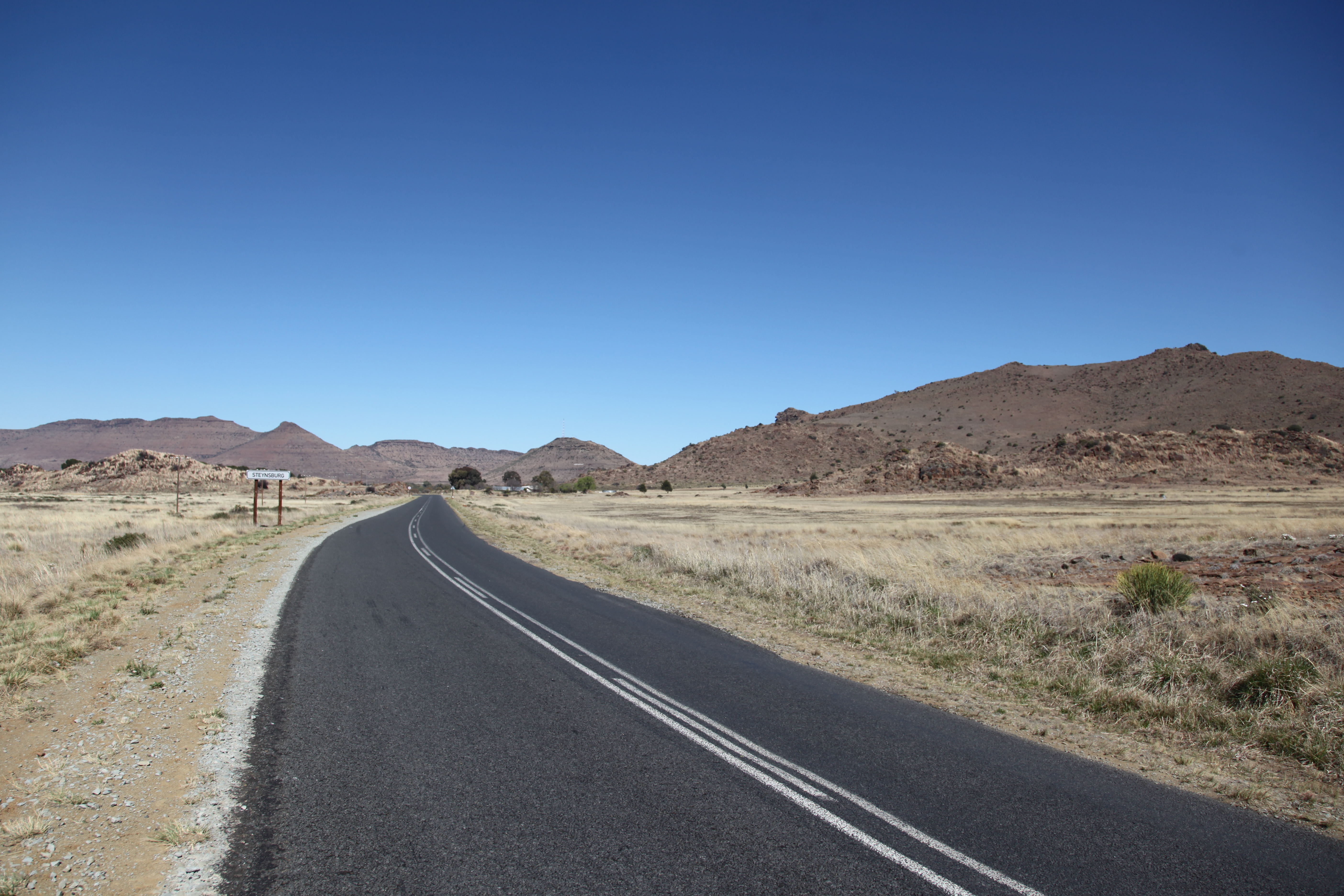
R390 (Eastern Cape) on:
[Wikipedia]
[Google]
[Amazon]
 The R390 is a Regional Route in
Routes Travel Info
South Africa
South Africa, officially the Republic of South Africa (RSA), is the southernmost country in Africa. It is bounded to the south by of coastline that stretch along the South Atlantic and Indian Oceans; to the north by the neighbouring count ...
that connects Cradock with Bethulie. It is co-signed with the R56 to Steynsburg
Steynsburg is a small town in the Walter Sisulu Local Municipality of the Joe Gqabi District Municipality, Eastern Cape province of South Africa. Steynsburg is located on the intersection of the R56 and R390.
The town lies south-west of Bu ...
for 10 kilometre
The kilometre ( SI symbol: km; or ), spelt kilometer in American English, is a unit of length in the International System of Units (SI), equal to one thousand metres ( kilo- being the SI prefix for ). It is now the measurement unit used for ...
s.
Part of the route from Oviston (Gariep Dam) to Cradock forms part of the shortest road route from Johannesburg
Johannesburg ( , , ; Zulu language, Zulu and xh, eGoli ), colloquially known as Jozi, Joburg, or "The City of Gold", is the largest city in South Africa, classified as a Megacity#List of megacities, megacity, and is List of urban areas by p ...
to Gqeberha
Gqeberha (), formerly Port Elizabeth and colloquially often referred to as P.E., is a major seaport and the most populous city in the Eastern Cape province of South Africa. It is the seat of the Nelson Mandela Bay Metropolitan Municipality, S ...
.
External links
Routes Travel Info
References
Regional Routes in the Free State (province) Regional Routes in the Eastern Cape {{SouthAfrica-road-stub