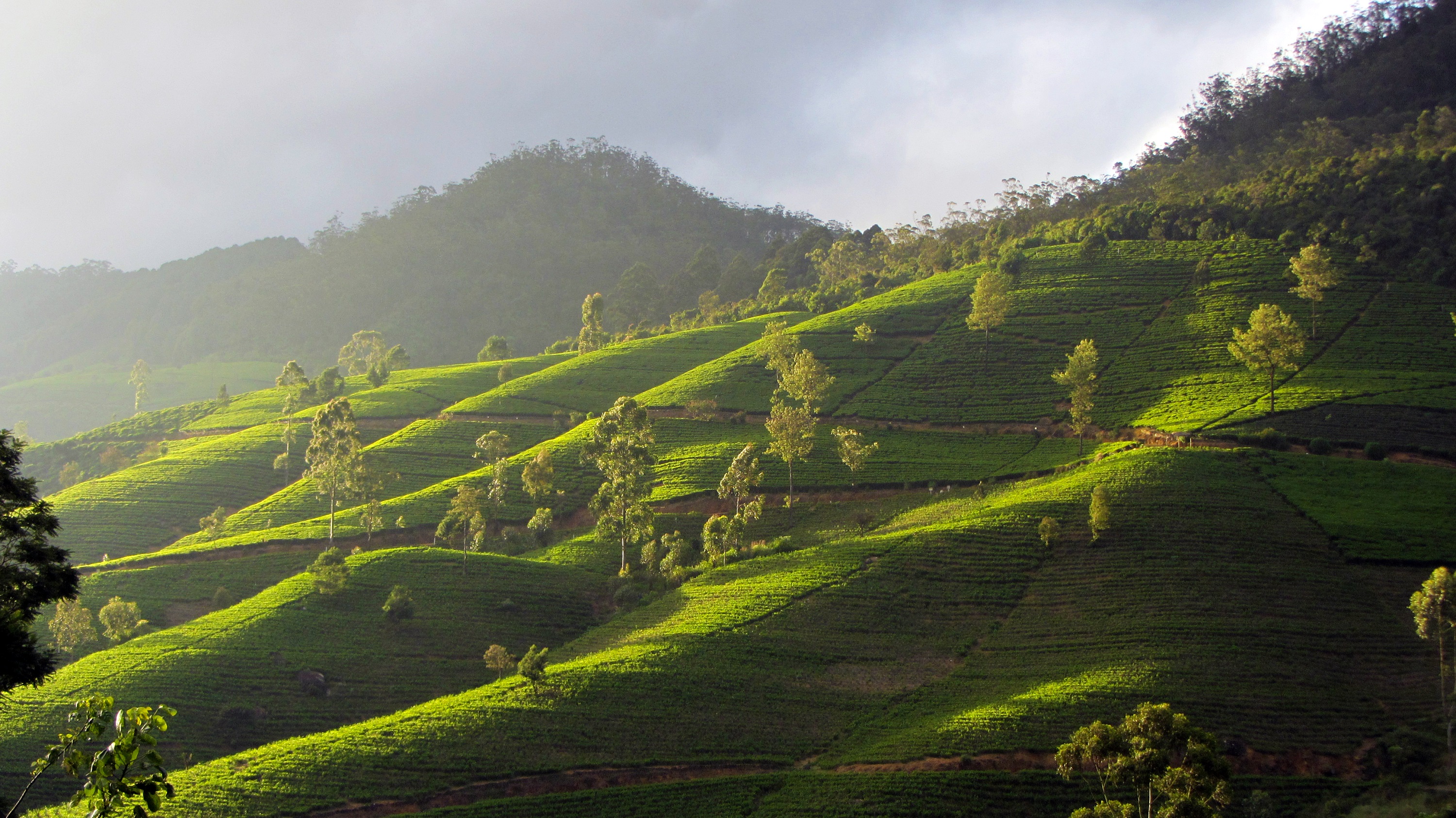
Nanu Oya on:
[Wikipedia]
[Google]
[Amazon]
Nanu Oya is a long 
stream
A stream is a continuous body of water, body of surface water Current (stream), flowing within the stream bed, bed and bank (geography), banks of a channel (geography), channel. Depending on its location or certain characteristics, a strea ...
in the Central Province of Sri Lanka
Sri Lanka, officially the Democratic Socialist Republic of Sri Lanka, also known historically as Ceylon, is an island country in South Asia. It lies in the Indian Ocean, southwest of the Bay of Bengal, separated from the Indian subcontinent, ...
. It originates at an elevation of over on Pidurutalagala
Pidurutalagala (, pronounced , ''Straw Plateau Rock''), or previously Mount Pedro in English, is the highest mountain in Sri Lanka, at . It is situated North-North-East from the town of Nuwara Eliya and is easily visible from most areas of the ...
, the highest mountain
A mountain is an elevated portion of the Earth's crust, generally with steep sides that show significant exposed bedrock. Although definitions vary, a mountain may differ from a plateau in having a limited summit area, and is usually higher t ...
in Sri Lanka, flowing into the Kotmale Oya
The Kotmale River () is the longest tributary of Mahaweli River. The river begins as the Agra Oya, in the Horton Plains National Park, Horton Plains. The Central Plains have an annual rainfall of between 125 and 200 inches a year. The river is ap ...
at an elevation of approximately . The Kotmale Oya is a tributary
A tributary, or an ''affluent'', is a stream or river that flows into a larger stream (''main stem'' or ''"parent"''), river, or a lake. A tributary does not flow directly into a sea or ocean. Tributaries, and the main stem river into which they ...
of the Mahaweli River
The Mahaweli River (, literally "Great Sandy River"; 'mahawali gangai'', is a long river, ranking as the longest river in Sri Lanka. It has a drainage basin of , the largest in the country, which covers almost one-fifth of the total area of the ...
, the longest river in Sri Lanka, which finally discharges at Trincomalee
Trincomalee (; , ; , ), historically known as Gokanna and Gokarna, is the administrative headquarters of the Trincomalee District and major resort port city of Eastern Province, Sri Lanka, Eastern Province, Sri Lanka. Located on the east coast o ...
after a combined distance of nearly . The river was dammed in 1873 to create the popular Lake Gregory in Nuwara Eliya
Nuwara Eliya ( ; ) is a city in the hill country of the Central Province, Sri Lanka. Its name means "city on the plain (table land)" or "city of light". The city is the administrative capital of Nuwara Eliya District, with a picturesque landsc ...
. The Nanu Oya discharges into the Kotmale Oya upstream of the Upper Kotmale Dam
The Upper Kotmale Dam (also known as the Upper Kotmale Hydropower Project, or UKHP) is located in Talawakele, within the Nuwara Eliya District, in the Central Province, Sri Lanka, Central Province of Sri Lanka. The dam feeds the third largest hy ...
.
See also
*Nanu Oya (town)
Nanu Oya is a village in Sri Lanka, named after the Nanu Oya river. It is located within Nuwara Eliya District in the Central Province and is situated approximately away from Nuwara Eliya.
See also
* Nanu Oya railway station
* List of to ...
* List of dams and reservoirs in Sri Lanka
The following page lists most dams in Sri Lanka. Most of these dams are governed by the Mahaweli Authority, while the Ceylon Electricity Board operates dams used for Hydroelectricity#Generating methods, hydroelectric power generation. Hydroelectr ...
* List of rivers of Sri Lanka
The following table lists most rivers of Sri Lanka. Since Sri Lanka is a trilingual country, some rivers may have a Sinhala name (i.e. Kalu Ganga), while other have an English name (i.e. Kelani River). There are two words meaning "river" in th ...
References
Rivers of Sri Lanka Geography of Nuwara Eliya District {{NuwaraEliyaDistrict-geo-stub