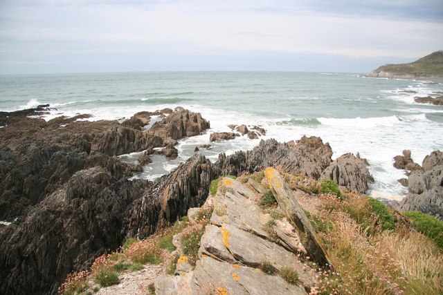
Morte Bay on:
[Wikipedia]
[Google]
[Amazon]
 Morte Bay is a
 Morte Bay is a
 bay
A bay is a recessed, coastal body of water that directly connects to a larger main body of water, such as an ocean, a lake, or another bay. A large bay is usually called a ''gulf'', ''sea'', ''sound'', or ''bight''. A ''cove'' is a small, ci ...
on the northwest coast of Devon
Devon ( ; historically also known as Devonshire , ) is a ceremonial county in South West England. It is bordered by the Bristol Channel to the north, Somerset and Dorset to the east, the English Channel to the south, and Cornwall to the west ...
in southwest England
England is a Countries of the United Kingdom, country that is part of the United Kingdom. It is located on the island of Great Britain, of which it covers about 62%, and List of islands of England, more than 100 smaller adjacent islands. It ...
. It stretches from Whiting Hole about 500m north of Baggy Point in the south to Morte Point
Morte Point is a peninsula on the north west coast of Devon, England, belonging to the National Trust. To the east is the village of Mortehoe and to the south is the seaside resort of Woolacombe.
In the summer season, tractor and trailer rid ...
in the north. At the back of the bay is a long stretch of beach known as Woolacombe Sand though that southern section of the beach which is in the parish of Georgeham
Georgeham is a village and civil parish near Croyde, in North Devon. The appropriate electoral ward is termed Georgeham and Mortehoe with total population at the 2011 census of 3,748.
Georgeham is a historic village lying close to some of ...
is known as Putsborough
Putsborough is a hamlet in Georgeham Civil Parish on the west-facing coast of North Devon, England. It is about north of the village of Croyde and west-northwest of the village of Georgeham. north of the hamlet is Putsborough Sands, which ...
Sand. The village of Woolacombe
Woolacombe () is a seaside resort on the coast of North Devon, England, which lies at the mouth of a valley (or "combe") in the parish of Mortehoe. The beach is long, sandy, gently sloping and faces the Atlantic Ocean near the western limit of ...
is at the northeastern corner of the bay. To its south are the hills of Woolacombe Down and Pickwell Down which provide an eastern backdrop to the beach and the wider bay. The South West Coast Path
The South West Coast Path is England's longest waymarked Long-distance footpaths in the UK, long-distance footpath and a National Trail. It stretches for , running from Minehead in Somerset, along the coasts of Devon and Cornwall, to Poole Harb ...
and Tarka Trail
The Tarka Trail is a series of footpaths and cyclepaths (rail trails) around north Devon, England, that follow the route taken by the fictional Tarka the Otter in the book of that name. It covers a total of in a figure-of-eight route, centred ...
follow the coast around the bay. The cliffs on the northern side of the bay are formed from the Morte Slates whilst those on the southern side are formed from the Upcott Slates. Underlying the bay itself and forming the higher ground to its east are the Pickwell Down Sandstones.British Geological Survey 1977 ''Bideford & Lundy Island'' England and Wales sheet 292 & 276 Solid & Drift Geology. 1:50,000 scale geological map (Keyworth, Nottingham: British Geological Survey)
References
{{coord , 51.161, -4.222, dim:500_region:GB-DEV, display=title Bays of Devon Bristol Channel