Morant Point on:
[Wikipedia]
[Google]
[Amazon]
Morant Point in Saint Thomas Parish is the easternmost point of mainland
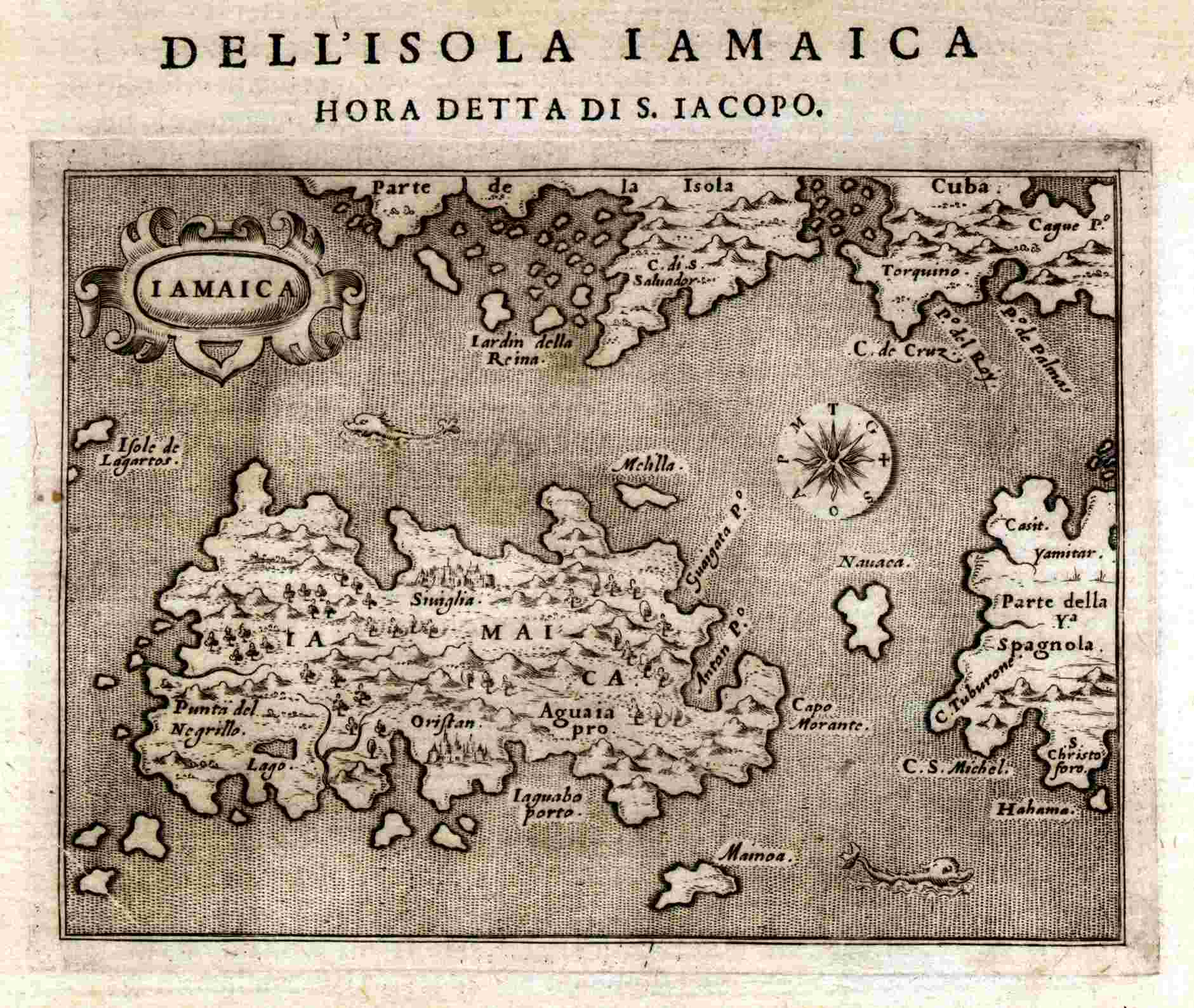
 It is called ''Cape Morante'' on several early maps including one dated 1572. It has had the name ''Morant Point'' since at least 1671.
Map of Jamaica
,
Aerial view
Jamaica
Jamaica (; ) is an island country situated in the Caribbean Sea. Spanning in area, it is the third-largest island of the Greater Antilles and the Caribbean (after Cuba and Hispaniola). Jamaica lies about south of Cuba, and west of Hispan ...
and the site of Morant Point Lighthouse.
History
 It is called ''Cape Morante'' on several early maps including one dated 1572. It has had the name ''Morant Point'' since at least 1671.
,
John Ogilby
John Ogilby (also ''Ogelby'', ''Oglivie''; November 1600 – 4 September 1676) was a Scottish translator, impresario and cartographer. Best known for publishing the first British road atlas, he was also a successful translator, noted for publish ...
, 1671.
Climate
See also
* List of countries by easternmost pointExternal links
Aerial view
References
{{Geographical extremities of Jamaica Headlands of Jamaica Extreme points of Jamaica Geography of Saint Thomas Parish, Jamaica