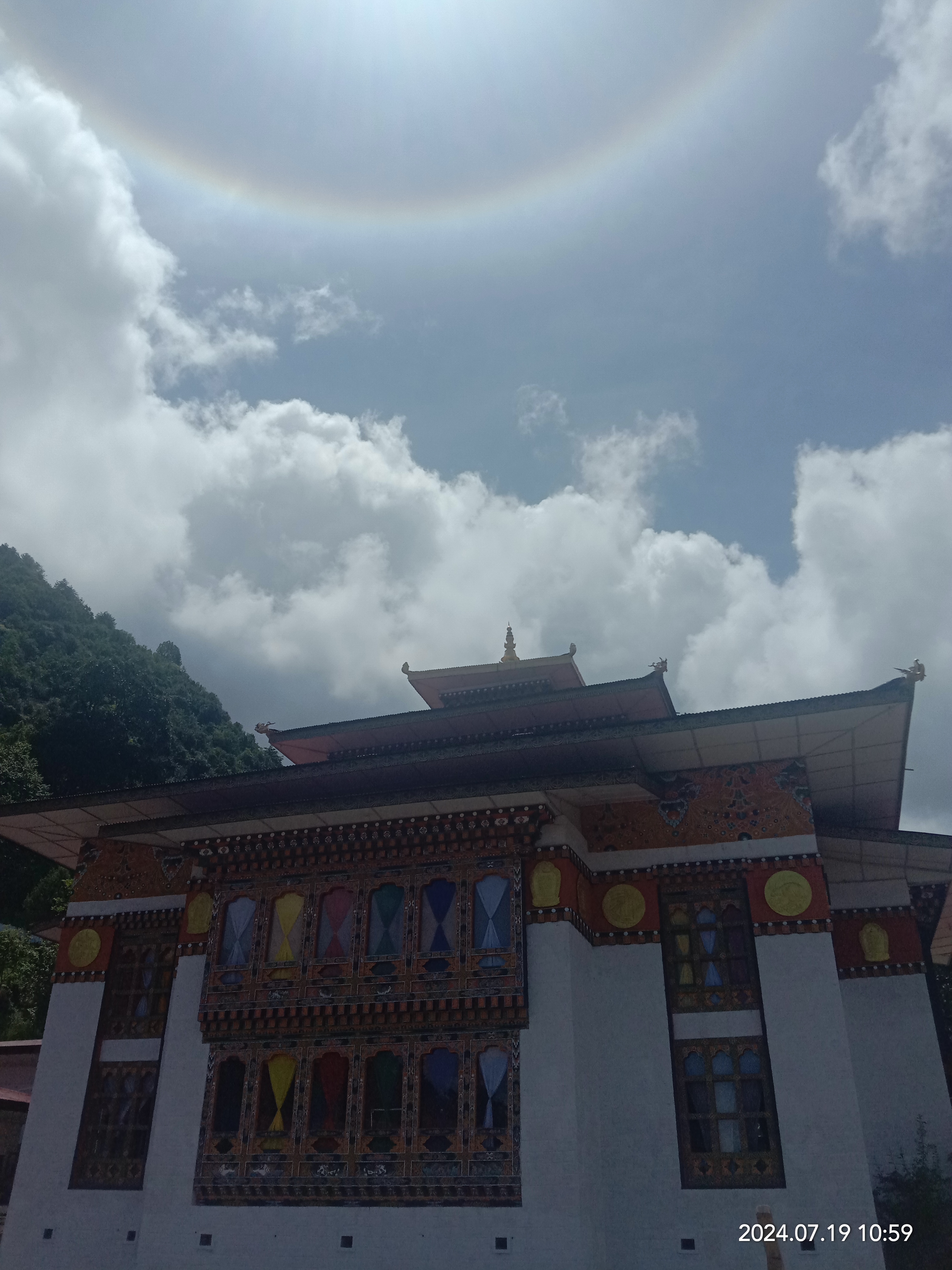
Mongar on:
[Wikipedia]
[Google]
[Amazon]


 Mongar (
Aja Ney་(ཨ་རྒྱ་གནས།)
is located at an altitude of more than 3,500 meters under Sherimuhung Gewog. The most sacred are the 100 imprints of the sacred syllable “Ah” on the rock-cave left by Guru Rinpoche besides numerous other sacred sites. The Nye also has
medicinal spring
which the locals believe can cure 18 diseases besides a nearby pool called Awa Chhu (now known as Uma Chuu). It is said to remove defilements in a person. It takes a minimum of three days to complete a pilgrimage to all the sacred sites.

Satellite map at Maplandia.com
Populated places in Bhutan {{Bhutan-geo-stub


 Mongar (
Dzongkha
Dzongkha (; ) is a Tibeto-Burman languages, Tibeto-Burman language that is the official and national language of Bhutan. It is written using the Tibetan script.
The word means "the language of the fortress", from ' "fortress" and ' "language ...
: མོང་སྒར) is a town and the seat of Mongar District
Mongar District (Dzongkha: མོང་སྒར་རྫོང་ཁག་; Wylie transliteration, Wylie: ''Mong-sgar rdzong-khag'') is one of the 20 dzongkhags (districts) comprising Bhutan. Mongar is the fastest-developing dzongkhag in easter ...
in eastern Bhutan
Bhutan, officially the Kingdom of Bhutan, is a landlocked country in South Asia, in the Eastern Himalayas between China to the north and northwest and India to the south and southeast. With a population of over 727,145 and a territory of , ...
. The population of Mongar Dzongkhag in 2022 was estimated at 36,383, comprising 17,498 males and 18,886 females. It included 10,084 residing in urban centres of Mongar, Gyalpoizhing, Lingmithang, Kidheykhar, Drametse and Yadi towns. The rural population across 17 Gewogs was of 26,299. Mongar is on the road from Thimphu
Thimphu (; ) is the capital and largest city of Bhutan. It is situated in the western central part of Bhutan, and the surrounding valley is one of Bhutan's '' dzongkhags'', the Thimphu District. The ancient capital city of Punakha was replac ...
to Trashigang
Trashigang (), or Tashigang, meaning "fortress of auspicious mount," is a town in eastern Bhutan and the district capital of the Trashigang Dzongkhag (district).
The town lies to the east side of the valley above the Drangme Chhu river just s ...
. It is one of the oldest educational hubs of the country. It has a regional hospital and a good standard hotel, among other facilities. The important Yagang Lhakhang monastery is on the outskirts of the town.
The post code for Mongar post office is 43001. The ruins of Zhongar Dzong are located on the outskirts of Mongar. The Dzong has been in ruins since 1889.
Pilgrimage གནས་སྐོར།
Entering Mongar district is a door to a multi-destination pilgrimage sites brimming for Buddhist devotees. Thousands of devotees across the country comes here for the purpose of pilgrimage and sigh-seeing holy places.Sacred Aja Ney and Aja-Ugyen Draphu-Sheridzong Trail
The renowneAja Ney་(ཨ་རྒྱ་གནས།)
is located at an altitude of more than 3,500 meters under Sherimuhung Gewog. The most sacred are the 100 imprints of the sacred syllable “Ah” on the rock-cave left by Guru Rinpoche besides numerous other sacred sites. The Nye also has
medicinal spring
which the locals believe can cure 18 diseases besides a nearby pool called Awa Chhu (now known as Uma Chuu). It is said to remove defilements in a person. It takes a minimum of three days to complete a pilgrimage to all the sacred sites.


Losel Yangchenling Nunnery
Losel Yangchenling Nunnery (བློ་གསལ་དབྱངས་ཅན་གླིང་བཙུན་མའི་བཤད་གྲྭ།) started construction in 2011, costing Nu 65 million, with the nuns taking up residence in 2016. It's new three-storey hostel houses more than 90 nuns. More than 40 nuns from Losel Yangchenling Nunnery went to Thimphu in order to recite Droelma Bum at the National Memorial Chorten. It took 10 days and was concluded on 10th day of the lunar calendar, the Saga Dawa which is considered significant according to Buddhism. It was held mainly to pay tribute to His Majesty the Fifth King for his benevolent dedication to the Bhutanese people during Covid 19 Pandemic.Climate
Mongar features a dry-winterhumid subtropical climate
A humid subtropical climate is a subtropical -temperate climate type, characterized by long and hot summers, and cool to mild winters. These climates normally lie on the southeast side of all continents (except Antarctica), generally between ...
(Köppen Köppen is a German surname. Notable people with the surname include:
* Bernd Köppen (1951–2014), German pianist and composer
* Carl Köppen (1833-1907), German military advisor in Meiji era Japan
* Edlef Köppen (1893–1939), German author ...
''Cwa'').
References
External links
*Satellite map at Maplandia.com
Populated places in Bhutan {{Bhutan-geo-stub