Kourtaliotiko Gorge on:
[Wikipedia]
[Google]
[Amazon]
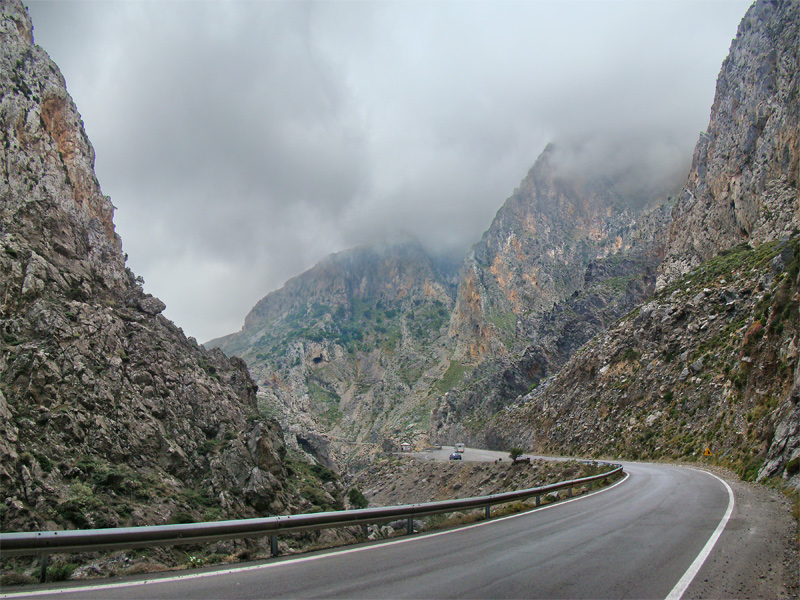
 The Kourtaliotiko Gorge (), also known as the Asomatos Gorge
(), is a
  The village of Koxare is at the northern end of the gorge. A road runs north to south through the gorge connecting Koxare to Asomatos; it then leads west, to the town of
 R. Bond. "Readers' wildlife photos." Why Evolution Is True.
Accessed April 11, 2020 An experienced hiker could follow the path across the river in order to reach the beach. It takes about 2 and a half hours at an average pace. However, there is an alternative path, one parallel to the river, which easier and faster to walk through.
 The Kourtaliotiko Gorge (), also known as the Asomatos Gorge
(), is a
 gorge
A canyon (; archaic British English spelling: ''cañon''), gorge or chasm, is a deep cleft between escarpments or cliffs resulting from weathering and the erosion, erosive activity of a river over geologic time scales. Rivers have a natural tend ...
on the southern side of the western part of the island of Crete
Crete ( ; , Modern Greek, Modern: , Ancient Greek, Ancient: ) is the largest and most populous of the Greek islands, the List of islands by area, 88th largest island in the world and the List of islands in the Mediterranean#By area, fifth la ...
.
It is situated where the Kourtaliotiko River flows southwards between the mountains of Kouroupa
Kouroupa () is a mountain in western Crete. Its summit is 984 metres above sea level. To the east of the mountain lies Kourtaliotiko Gorge. The summit, its telecoms masts and chapel are accessed by an unsurfaced road up from Atsipades
Atsi ...
and Xiron.
 The village of Koxare is at the northern end of the gorge. A road runs north to south through the gorge connecting Koxare to Asomatos; it then leads west, to the town of
 Plakias
Plakias () is a village on the south coast of the Greek island of Crete, in the Rethymno regional unit, about 21 kilometres south of the city of Rethymno. It is part of the municipality Agios Vasileios, and of the municipal unit Foinikas. It is ...
on the southern coast of Crete.
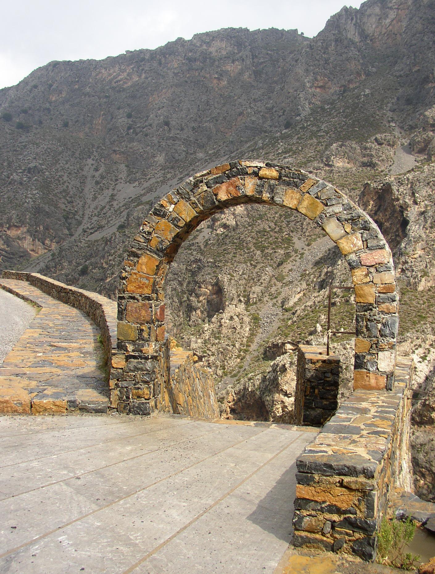
There is a small church (Agios Nikolaos) in the gorge and a 40-metre-high waterfall.
The cliffs on the side of the gorge provide a roosting site for the Lammergeier
The bearded vulture (''Gypaetus barbatus''), also known as the lammergeier and ossifrage, is a very large bird of prey in the monotypic genus ''Gypaetus''. The bearded vulture is the only known vertebrate whose diet consists of 70–90% bone.
...
vulture.
There is a specific point on the gorge, about 20 metres from the northern entrance, some "claps" can be heard, like hands coming together. These "claps" are the "kourtala", that give the name ''ο Κουρταλιώτης ( o Kourtaliotis , "the rattle" and "the noisy")'' to the gorge. These are a consequence of the wind being funnelled through the high caves of the gorge and breaking the sound barrier. The point near the northern entrance is the main point where this sound can be heard.
The gorge leads to a sandy beach Preveli
Preveli (Greek language, Greek Πρέβελη) is a location on the south coast of the Greece, Greek island of Crete, in the Rethymno (regional unit), Rethymno regional unit, notable for its monastery.
Preveli Monastery
The Holy Stauropegic, S ...
, and is inhabited by native
Native may refer to:
People
* '' Jus sanguinis'', nationality by blood
* '' Jus soli'', nationality by location of birth
* Indigenous peoples, peoples with a set of specific rights based on their historical ties to a particular territory
** Nat ...
palm trees.Accessed April 11, 2020 An experienced hiker could follow the path across the river in order to reach the beach. It takes about 2 and a half hours at an average pace. However, there is an alternative path, one parallel to the river, which easier and faster to walk through.
See also
*Kotsifos Gorge
The Kotsifos Gorge () is a gorge on the southern side of the western part of the island of Crete
Crete ( ; , Modern Greek, Modern: , Ancient Greek, Ancient: ) is the largest and most populous of the Greek islands, the List of islands by are ...
References
External links
Landforms of Rethymno (regional unit) Gorges of Crete {{Crete-geo-stub